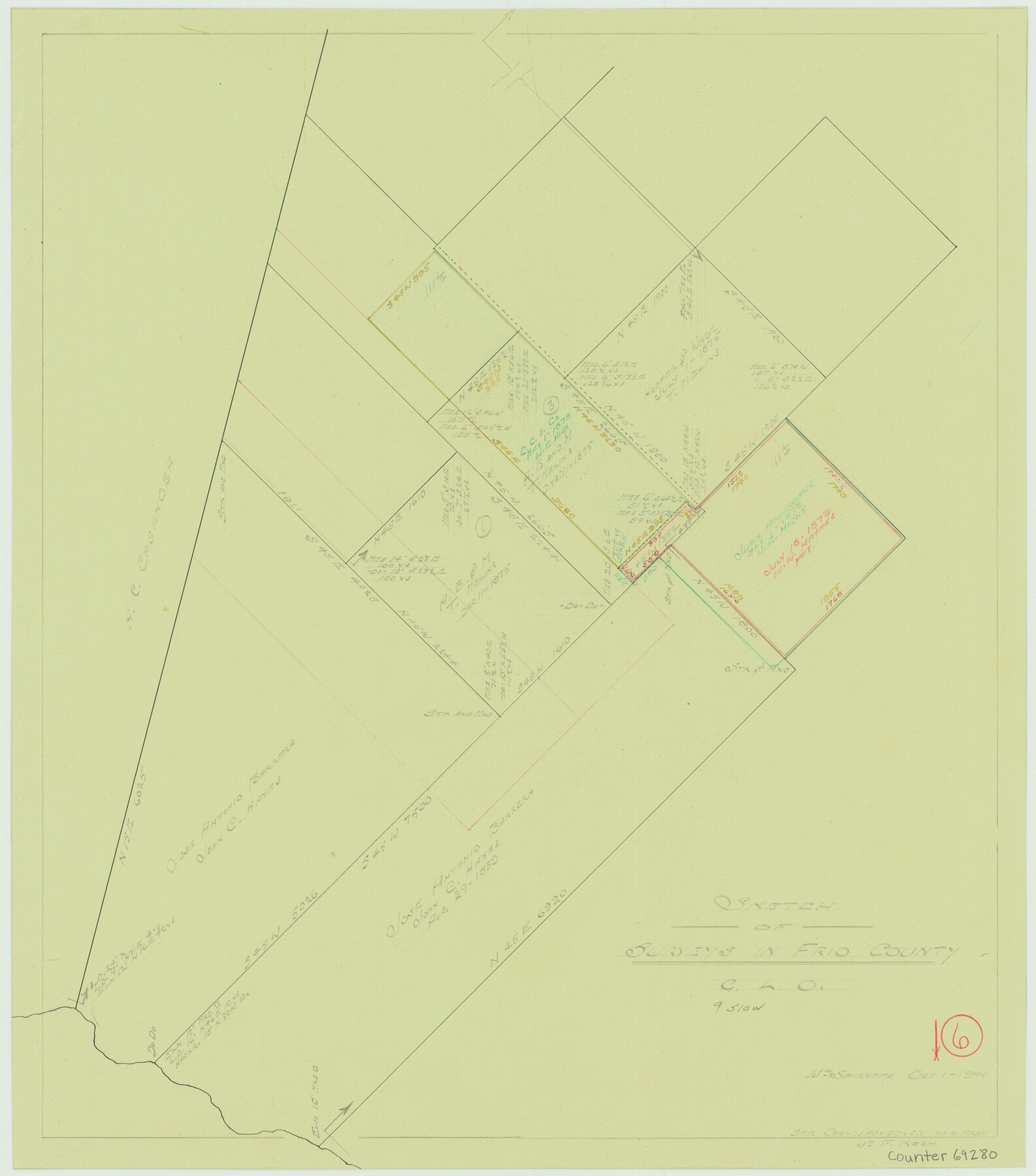
Frio County Working Sketch 6
-
Map/Doc
69280
-
Collection
General Map Collection
-
Object Dates
10/1/1940 (Creation Date)
-
People and Organizations
William Shirriffs (Draftsman)
-
Counties
Frio
-
Subjects
Surveying Working Sketch
-
Height x Width
20.1 x 17.7 inches
51.1 x 45.0 cm
Part of: General Map Collection
Flight Mission No. BRE-2P, Frame 37, Nueces County

Print $20.00
- Digital $50.00
Flight Mission No. BRE-2P, Frame 37, Nueces County
1956
Size 18.4 x 22.4 inches
Map/Doc 86739
Smith County Rolled Sketch 6A1

Print $40.00
- Digital $50.00
Smith County Rolled Sketch 6A1
Size 49.2 x 38.6 inches
Map/Doc 10704
Flight Mission No. BRE-1P, Frame 137, Nueces County

Print $20.00
- Digital $50.00
Flight Mission No. BRE-1P, Frame 137, Nueces County
1956
Size 18.7 x 22.6 inches
Map/Doc 86697
Houston Ship Channel, Alexander Island to Carpenter Bayou

Print $40.00
- Digital $50.00
Houston Ship Channel, Alexander Island to Carpenter Bayou
1992
Size 35.3 x 49.3 inches
Map/Doc 69917
Flight Mission No. CUG-3P, Frame 39, Kleberg County

Print $20.00
- Digital $50.00
Flight Mission No. CUG-3P, Frame 39, Kleberg County
1956
Size 18.4 x 22.2 inches
Map/Doc 86244
Map of Andrews County

Print $40.00
- Digital $50.00
Map of Andrews County
1900
Size 40.8 x 52.9 inches
Map/Doc 4780
El Paso County Boundary File 4

Print $12.00
- Digital $50.00
El Paso County Boundary File 4
Size 13.5 x 8.6 inches
Map/Doc 53038
A Geographically Correct Map of the State of Texas

Print $20.00
- Digital $50.00
A Geographically Correct Map of the State of Texas
1876
Size 20.4 x 21.9 inches
Map/Doc 95362
Duval County Sketch File 29

Print $6.00
- Digital $50.00
Duval County Sketch File 29
1932
Size 14.6 x 8.8 inches
Map/Doc 21336
Flight Mission No. BRE-2P, Frame 51, Nueces County

Print $20.00
- Digital $50.00
Flight Mission No. BRE-2P, Frame 51, Nueces County
1956
Size 18.6 x 22.7 inches
Map/Doc 86753
Brooks County Boundary File 1c

Print $40.00
- Digital $50.00
Brooks County Boundary File 1c
Size 63.4 x 6.7 inches
Map/Doc 50838
Overlay For Flight Mission No. BRE-2P, Frame 110 of H. A. Pierce Corrected Survey, December 21, 1950 of Cyrus Egery Survey of June 15, 1855

Print $20.00
- Digital $50.00
Overlay For Flight Mission No. BRE-2P, Frame 110 of H. A. Pierce Corrected Survey, December 21, 1950 of Cyrus Egery Survey of June 15, 1855
1956
Size 18.3 x 20.4 inches
Map/Doc 86795
You may also like
The Mexican Municipality of Jackson. Created, December 5, 1835

Print $20.00
The Mexican Municipality of Jackson. Created, December 5, 1835
2020
Size 17.7 x 21.7 inches
Map/Doc 96023
Flight Mission No. DQN-1K, Frame 43, Calhoun County

Print $20.00
- Digital $50.00
Flight Mission No. DQN-1K, Frame 43, Calhoun County
1953
Size 18.6 x 22.3 inches
Map/Doc 84143
Wise County Working Sketch 7

Print $20.00
- Digital $50.00
Wise County Working Sketch 7
1950
Size 26.2 x 24.8 inches
Map/Doc 72621
Perspective Map of the City of Laredo

Print $20.00
- Digital $50.00
Perspective Map of the City of Laredo
1892
Size 24.2 x 36.3 inches
Map/Doc 97096

![4828, [San Diego], General Map Collection](https://historictexasmaps.com/wmedia_w700/maps/4828-1.tif.jpg)
Hockley County, Texas

Print $20.00
- Digital $50.00
Hockley County, Texas
Size 34.4 x 37.5 inches
Map/Doc 92247
Potter County Sketch File 6A

Print $20.00
- Digital $50.00
Potter County Sketch File 6A
Size 16.7 x 17.3 inches
Map/Doc 12196
Kleberg County Rolled Sketch 10-38

Print $20.00
- Digital $50.00
Kleberg County Rolled Sketch 10-38
1952
Size 36.5 x 30.8 inches
Map/Doc 9372

Flight Mission No. CGI-1N, Frame 217, Cameron County

Print $20.00
- Digital $50.00
Flight Mission No. CGI-1N, Frame 217, Cameron County
1955
Size 18.6 x 22.2 inches
Map/Doc 84526
