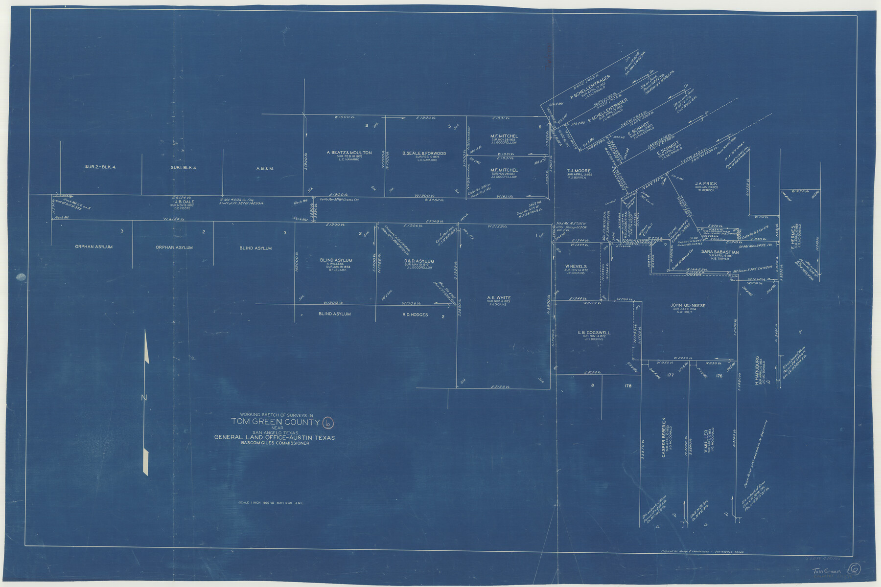
Tom Green County Working Sketch 6
-
Map/Doc
69375
-
Collection
General Map Collection
-
Object Dates
5/1/1948 (Creation Date)
-
Counties
Tom Green
-
Subjects
Surveying Working Sketch
-
Height x Width
34.2 x 51.3 inches
86.9 x 130.3 cm
-
Scale
1" = 400 varas
Part of: General Map Collection
Hutchinson County Sketch File 42

Print $9.00
- Digital $50.00
Hutchinson County Sketch File 42
1920
Size 14.3 x 8.9 inches
Map/Doc 27305
Crane County Boundary File 1

Print $6.00
- Digital $50.00
Crane County Boundary File 1
Size 14.1 x 8.7 inches
Map/Doc 51957
Zavala County Rolled Sketch 30

Print $20.00
- Digital $50.00
Zavala County Rolled Sketch 30
Size 18.6 x 19.1 inches
Map/Doc 8331
Presidio County Sketch File 116A

Print $63.00
- Digital $50.00
Presidio County Sketch File 116A
Size 17.0 x 11.0 inches
Map/Doc 34885
Harris County Working Sketch 103

Print $20.00
- Digital $50.00
Harris County Working Sketch 103
1980
Size 18.6 x 16.8 inches
Map/Doc 65995
East Part of Liberty Co.

Print $20.00
- Digital $50.00
East Part of Liberty Co.
1977
Size 41.0 x 30.9 inches
Map/Doc 77352
Brooks County Boundary File 1b

Print $20.00
- Digital $50.00
Brooks County Boundary File 1b
Size 42.2 x 6.6 inches
Map/Doc 50837
Northeast Part Presidio County

Print $20.00
- Digital $50.00
Northeast Part Presidio County
1973
Size 41.3 x 32.4 inches
Map/Doc 73265
Fort Bend County Working Sketch 31

Print $20.00
- Digital $50.00
Fort Bend County Working Sketch 31
1984
Size 28.9 x 16.0 inches
Map/Doc 69237
Shackelford County Rolled Sketch 6

Print $20.00
- Digital $50.00
Shackelford County Rolled Sketch 6
1998
Size 24.1 x 35.9 inches
Map/Doc 7774
Flight Mission No. DCL-7C, Frame 150, Kenedy County

Print $20.00
- Digital $50.00
Flight Mission No. DCL-7C, Frame 150, Kenedy County
1943
Size 18.5 x 22.2 inches
Map/Doc 86107
Hudspeth County Rolled Sketch 69

Print $20.00
- Digital $50.00
Hudspeth County Rolled Sketch 69
1973
Size 12.3 x 19.2 inches
Map/Doc 7718
You may also like
J. H. Colton's map of the state of Louisiana and eastern part of Texas compiled from United States Surveys, and other authentic sources, showing the counties, townships, sections. Fractional sections, settlement rights, railroads, &c.

Print $20.00
J. H. Colton's map of the state of Louisiana and eastern part of Texas compiled from United States Surveys, and other authentic sources, showing the counties, townships, sections. Fractional sections, settlement rights, railroads, &c.
1863
Size 35.8 x 43.3 inches
Map/Doc 93603
Navigation Maps of Gulf Intracoastal Waterway, Port Arthur to Brownsville, Texas

Print $4.00
- Digital $50.00
Navigation Maps of Gulf Intracoastal Waterway, Port Arthur to Brownsville, Texas
1951
Size 16.5 x 21.1 inches
Map/Doc 65435
La Salle County Working Sketch 51

Print $20.00
- Digital $50.00
La Salle County Working Sketch 51
1990
Size 33.9 x 29.9 inches
Map/Doc 70352
Galveston County NRC Article 33.136 Sketch 92

Print $62.00
Galveston County NRC Article 33.136 Sketch 92
2021
Map/Doc 97179
Nueces County Rolled Sketch 95

Print $20.00
- Digital $50.00
Nueces County Rolled Sketch 95
1983
Size 18.2 x 24.7 inches
Map/Doc 7052
Flight Mission No. DQO-7K, Frame 101, Galveston County

Print $20.00
- Digital $50.00
Flight Mission No. DQO-7K, Frame 101, Galveston County
1952
Size 18.7 x 22.6 inches
Map/Doc 85116
Flight Mission No. CUG-1P, Frame 53, Kleberg County

Print $20.00
- Digital $50.00
Flight Mission No. CUG-1P, Frame 53, Kleberg County
1956
Size 18.6 x 22.4 inches
Map/Doc 86131
Texas-Oklahoma Clara Quadrangle

Print $20.00
- Digital $50.00
Texas-Oklahoma Clara Quadrangle
1918
Size 20.4 x 16.9 inches
Map/Doc 75104
Flight Mission No. CGI-4N, Frame 176, Cameron County

Print $20.00
- Digital $50.00
Flight Mission No. CGI-4N, Frame 176, Cameron County
1955
Size 18.5 x 22.2 inches
Map/Doc 84679
Map of Texas. The Proposed Reoccupation of the Rio Grande -- Its Importance to the Union

Print $20.00
Map of Texas. The Proposed Reoccupation of the Rio Grande -- Its Importance to the Union
1965
Size 14.1 x 8.6 inches
Map/Doc 76264
Orange County Working Sketch 15

Print $20.00
- Digital $50.00
Orange County Working Sketch 15
1928
Size 19.3 x 24.6 inches
Map/Doc 71347
