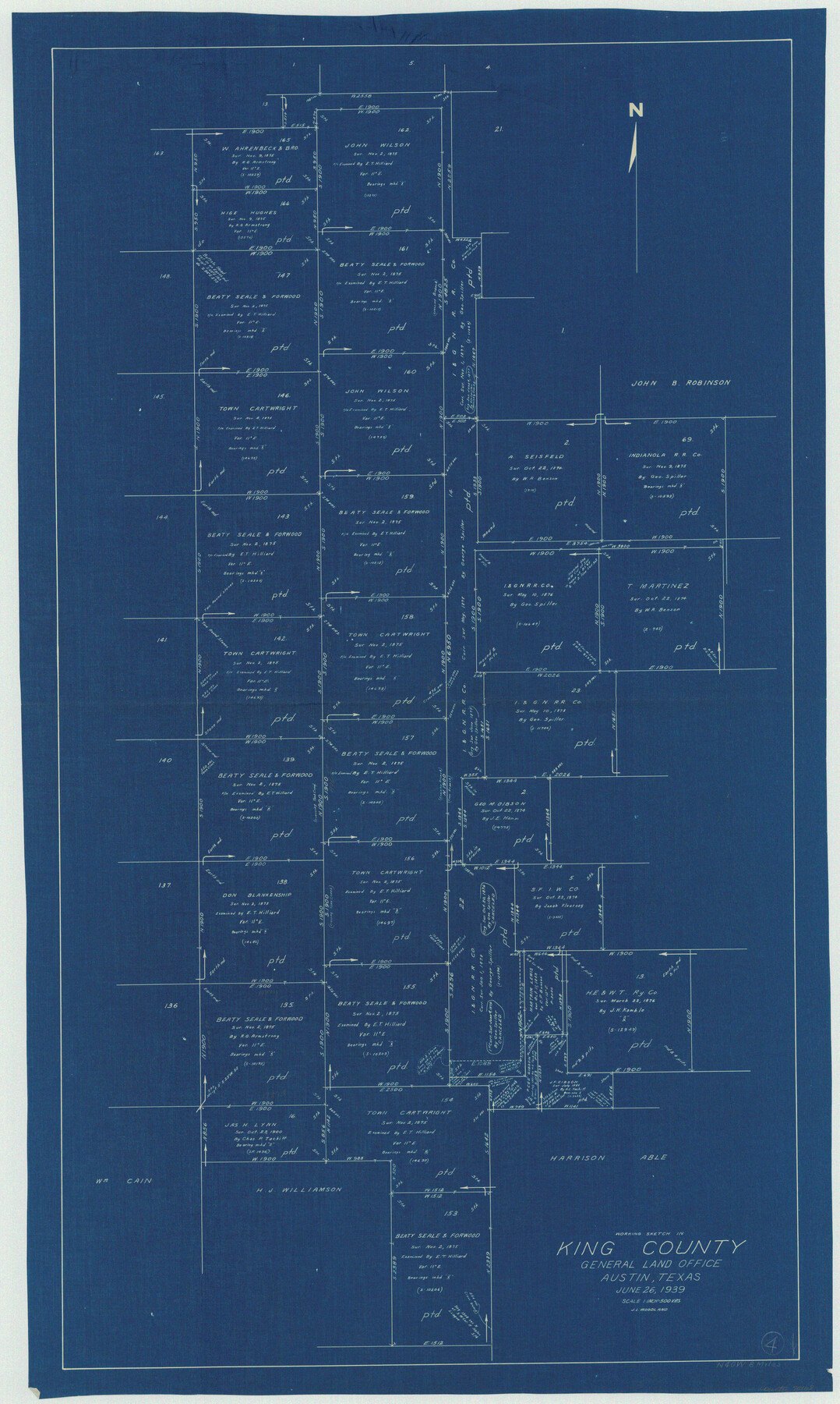
King County Working Sketch 4
-
Map/Doc
70168
-
Collection
General Map Collection
-
Object Dates
6/26/1939 (Creation Date)
-
People and Organizations
J.L. Woodland (Draftsman)
-
Counties
King
-
Subjects
Surveying Working Sketch
-
Height x Width
42.9 x 25.7 inches
109.0 x 65.3 cm
-
Scale
1" = 500 varas
Part of: General Map Collection
Reagan County Rolled Sketch 11

Print $20.00
- Digital $50.00
Reagan County Rolled Sketch 11
1931
Size 20.2 x 39.3 inches
Map/Doc 7439
Ward County Working Sketch 2

Print $20.00
- Digital $50.00
Ward County Working Sketch 2
1937
Size 22.9 x 28.7 inches
Map/Doc 72308
United States - Gulf Coast - Galveston to Rio Grande

Print $20.00
- Digital $50.00
United States - Gulf Coast - Galveston to Rio Grande
1919
Size 26.7 x 18.3 inches
Map/Doc 72746
Liberty County Working Sketch 83

Print $40.00
- Digital $50.00
Liberty County Working Sketch 83
1981
Size 68.4 x 37.8 inches
Map/Doc 70543
Brewster County Working Sketch 113

Print $20.00
- Digital $50.00
Brewster County Working Sketch 113
1982
Size 29.4 x 38.2 inches
Map/Doc 67713
No. 3 Chart of Channel connecting Corpus Christi Bay with Aransas Bay, Texas

Print $20.00
- Digital $50.00
No. 3 Chart of Channel connecting Corpus Christi Bay with Aransas Bay, Texas
1878
Size 18.1 x 27.9 inches
Map/Doc 72776
Crockett County Working Sketch 32

Print $20.00
- Digital $50.00
Crockett County Working Sketch 32
1925
Size 20.3 x 41.3 inches
Map/Doc 68365
Tarrant County Working Sketch 2

Print $20.00
- Digital $50.00
Tarrant County Working Sketch 2
1940
Size 21.3 x 19.5 inches
Map/Doc 62419
Flight Mission No. BRA-16M, Frame 65, Jefferson County

Print $20.00
- Digital $50.00
Flight Mission No. BRA-16M, Frame 65, Jefferson County
1953
Size 18.7 x 22.4 inches
Map/Doc 85682
Outer Continental Shelf Leasing Maps (Louisiana Offshore Operations)

Print $20.00
- Digital $50.00
Outer Continental Shelf Leasing Maps (Louisiana Offshore Operations)
1954
Size 12.6 x 14.4 inches
Map/Doc 76113
Coleman County Sketch File 44

Print $17.00
- Digital $50.00
Coleman County Sketch File 44
Size 14.1 x 8.6 inches
Map/Doc 18783
Township No. 6 South Range No. 9 West of the Indian Meridian

Print $20.00
- Digital $50.00
Township No. 6 South Range No. 9 West of the Indian Meridian
1874
Size 19.2 x 24.5 inches
Map/Doc 75166
You may also like
Map of the Texas and Pacific Railway and Connections

Print $20.00
Map of the Texas and Pacific Railway and Connections
1897
Size 17.7 x 36.1 inches
Map/Doc 76298
Throckmorton County Sketch File 6a

Print $20.00
- Digital $50.00
Throckmorton County Sketch File 6a
1897
Size 14.5 x 12.7 inches
Map/Doc 38089
Montague County Sketch File 11

Print $4.00
- Digital $50.00
Montague County Sketch File 11
1873
Size 12.2 x 8.4 inches
Map/Doc 31734
Aransas County NRC Article 33.136 Location Key Sheet

Print $20.00
- Digital $50.00
Aransas County NRC Article 33.136 Location Key Sheet
1979
Size 27.0 x 23.0 inches
Map/Doc 77005

Presidio County Working Sketch 33

Print $40.00
- Digital $50.00
Presidio County Working Sketch 33
1947
Size 41.6 x 50.6 inches
Map/Doc 71710
The Western Coast of Louisiana and The Coast of New Leon

Print $20.00
- Digital $50.00
The Western Coast of Louisiana and The Coast of New Leon
1775
Size 21.1 x 28.7 inches
Map/Doc 93705
Flight Mission No. DAH-9M, Frame 158, Orange County

Print $20.00
- Digital $50.00
Flight Mission No. DAH-9M, Frame 158, Orange County
1953
Size 18.4 x 22.3 inches
Map/Doc 86857
Brazoria County Sketch File 15

Print $4.00
- Digital $50.00
Brazoria County Sketch File 15
1892
Size 12.8 x 8.4 inches
Map/Doc 14977
Galveston County NRC Article 33.136 Sketch 3

Print $20.00
- Digital $50.00
Galveston County NRC Article 33.136 Sketch 3
2001
Size 22.4 x 34.0 inches
Map/Doc 61567
Hardin County Sketch File 45

Print $2.00
- Digital $50.00
Hardin County Sketch File 45
Size 8.3 x 6.2 inches
Map/Doc 25195
[Blocks and surveys to the North and West of Jasper County School Land]
![91570, [Blocks and surveys to the North and West of Jasper County School Land], Twichell Survey Records](https://historictexasmaps.com/wmedia_w700/maps/91570-1.tif.jpg)
Print $20.00
- Digital $50.00
[Blocks and surveys to the North and West of Jasper County School Land]
Size 14.9 x 17.8 inches
Map/Doc 91570