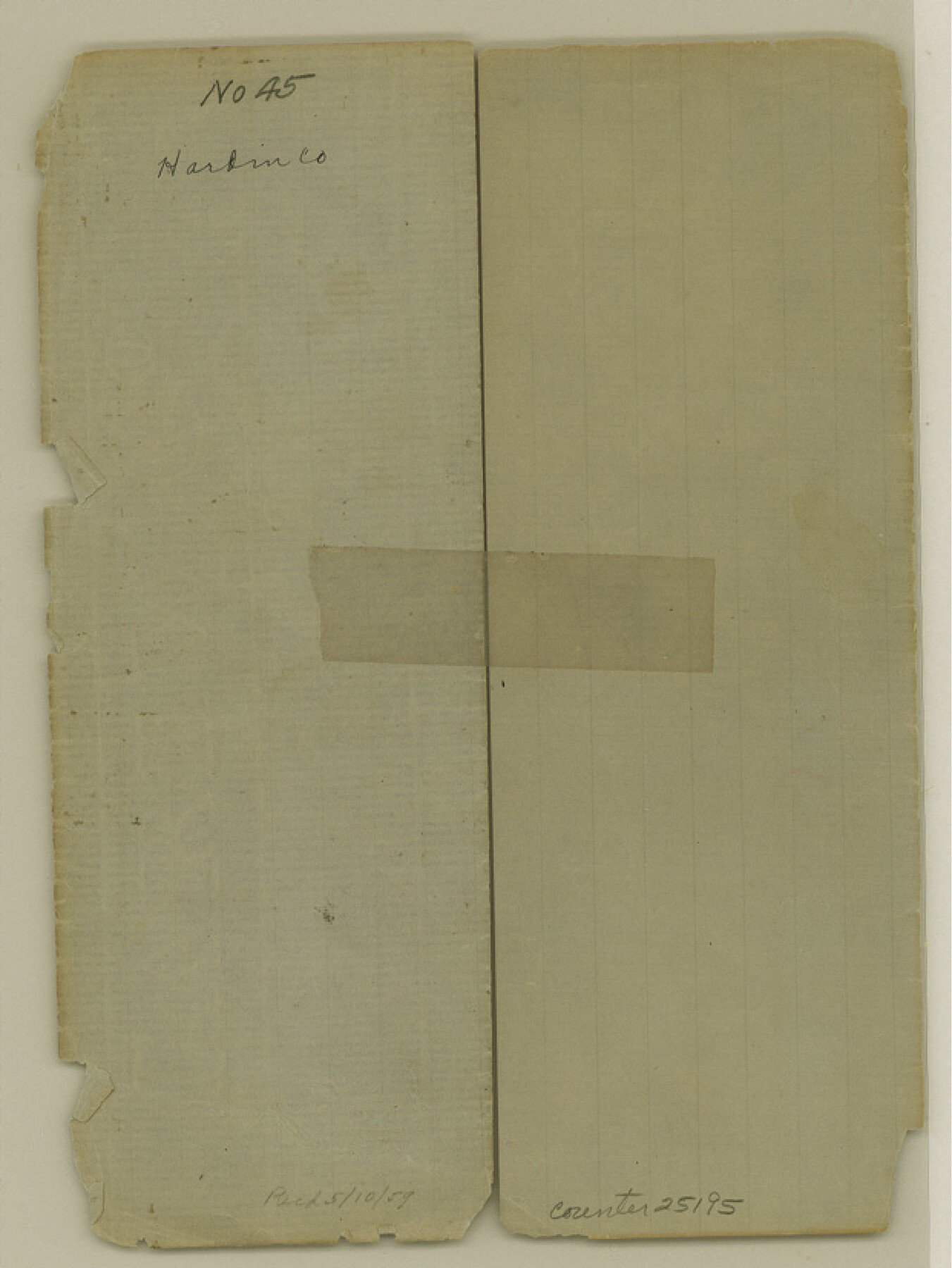
Hardin County Sketch File 45
[Jacket only]
-
Map/Doc
25195
-
Collection
General Map Collection
-
Counties
Hardin
-
Subjects
Surveying Sketch File
-
Height x Width
8.3 x 6.2 inches
21.1 x 15.7 cm
-
Medium
paper, manuscript
Part of: General Map Collection
Flight Mission No. DQN-2K, Frame 46, Calhoun County

Print $20.00
- Digital $50.00
Flight Mission No. DQN-2K, Frame 46, Calhoun County
1953
Size 18.5 x 22.1 inches
Map/Doc 84251
Trinity County Sketch File 32

Print $20.00
- Digital $50.00
Trinity County Sketch File 32
1894
Size 22.4 x 18.3 inches
Map/Doc 12490
Strip Map of Texas-Oklahoma Boundary from Denison East to the Oklahoma-Arkansas State Line

Print $40.00
- Digital $50.00
Strip Map of Texas-Oklahoma Boundary from Denison East to the Oklahoma-Arkansas State Line
1933
Size 38.7 x 116.3 inches
Map/Doc 75926
Jim Wells County Boundary File 3

Print $10.00
- Digital $50.00
Jim Wells County Boundary File 3
Size 9.3 x 6.0 inches
Map/Doc 55546
El Paso County Sketch File 4

Print $20.00
- Digital $50.00
El Paso County Sketch File 4
1885
Size 17.1 x 28.3 inches
Map/Doc 11449

Flight Mission No. BQR-5K, Frame 75, Brazoria County

Print $20.00
- Digital $50.00
Flight Mission No. BQR-5K, Frame 75, Brazoria County
1952
Size 18.8 x 22.4 inches
Map/Doc 84020
Webb County Working Sketch 80

Print $40.00
- Digital $50.00
Webb County Working Sketch 80
1979
Size 43.0 x 97.9 inches
Map/Doc 72447
Flight Mission No. DAG-24K, Frame 136, Matagorda County

Print $20.00
- Digital $50.00
Flight Mission No. DAG-24K, Frame 136, Matagorda County
1953
Size 18.4 x 22.2 inches
Map/Doc 86554
Chambers County Sketch File 51

Print $35.00
- Digital $50.00
Chambers County Sketch File 51
1935
Size 14.3 x 9.0 inches
Map/Doc 18068
Upton County Rolled Sketch 37

Print $20.00
- Digital $50.00
Upton County Rolled Sketch 37
Size 41.8 x 39.6 inches
Map/Doc 10053
Montague County Working Sketch 4

Print $20.00
- Digital $50.00
Montague County Working Sketch 4
1920
Size 25.3 x 22.0 inches
Map/Doc 71070
You may also like
Gaines County Rolled Sketch 14A

Print $40.00
- Digital $50.00
Gaines County Rolled Sketch 14A
1940
Size 24.8 x 129.0 inches
Map/Doc 9031
Galveston County Rolled Sketch 48

Print $20.00
- Digital $50.00
Galveston County Rolled Sketch 48
2004
Size 24.8 x 36.8 inches
Map/Doc 83421
Crockett County Sketch File 44

Print $8.00
- Digital $50.00
Crockett County Sketch File 44
1881
Size 12.8 x 8.8 inches
Map/Doc 19768
Copy of Surveyor's Field Book, Morris Browning - In Blocks 7, 5 & 4, I&GNRRCo., Hutchinson and Carson Counties, Texas

Print $2.00
- Digital $50.00
Copy of Surveyor's Field Book, Morris Browning - In Blocks 7, 5 & 4, I&GNRRCo., Hutchinson and Carson Counties, Texas
1888
Size 6.9 x 8.8 inches
Map/Doc 62282
Lubbock County Boundary File 1

Print $64.00
- Digital $50.00
Lubbock County Boundary File 1
Size 8.8 x 8.6 inches
Map/Doc 56455
Bexar County Sketch File 21

Print $4.00
- Digital $50.00
Bexar County Sketch File 21
1859
Size 12.2 x 7.9 inches
Map/Doc 14484
Current Miscellaneous File 97

Print $16.00
- Digital $50.00
Current Miscellaneous File 97
1847
Size 11.3 x 8.8 inches
Map/Doc 74329
University Lands Blocks 34 to 37, Terrell County, Isogonic Chart & Meridian Changes

Print $20.00
- Digital $50.00
University Lands Blocks 34 to 37, Terrell County, Isogonic Chart & Meridian Changes
Size 23.2 x 22.4 inches
Map/Doc 62940
Angelina County Sketch File 10

Print $40.00
- Digital $50.00
Angelina County Sketch File 10
1859
Size 17.2 x 32.3 inches
Map/Doc 10814
Flight Mission No. CGI-4N, Frame 173, Cameron County

Print $20.00
- Digital $50.00
Flight Mission No. CGI-4N, Frame 173, Cameron County
1955
Size 18.6 x 22.3 inches
Map/Doc 84676
Flight Mission No. DQO-2K, Frame 96, Galveston County

Print $20.00
- Digital $50.00
Flight Mission No. DQO-2K, Frame 96, Galveston County
1952
Size 18.8 x 22.4 inches
Map/Doc 85023
Map of Fannin County

Print $20.00
- Digital $50.00
Map of Fannin County
1845
Size 34.7 x 36.5 inches
Map/Doc 16827