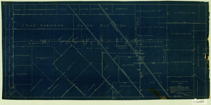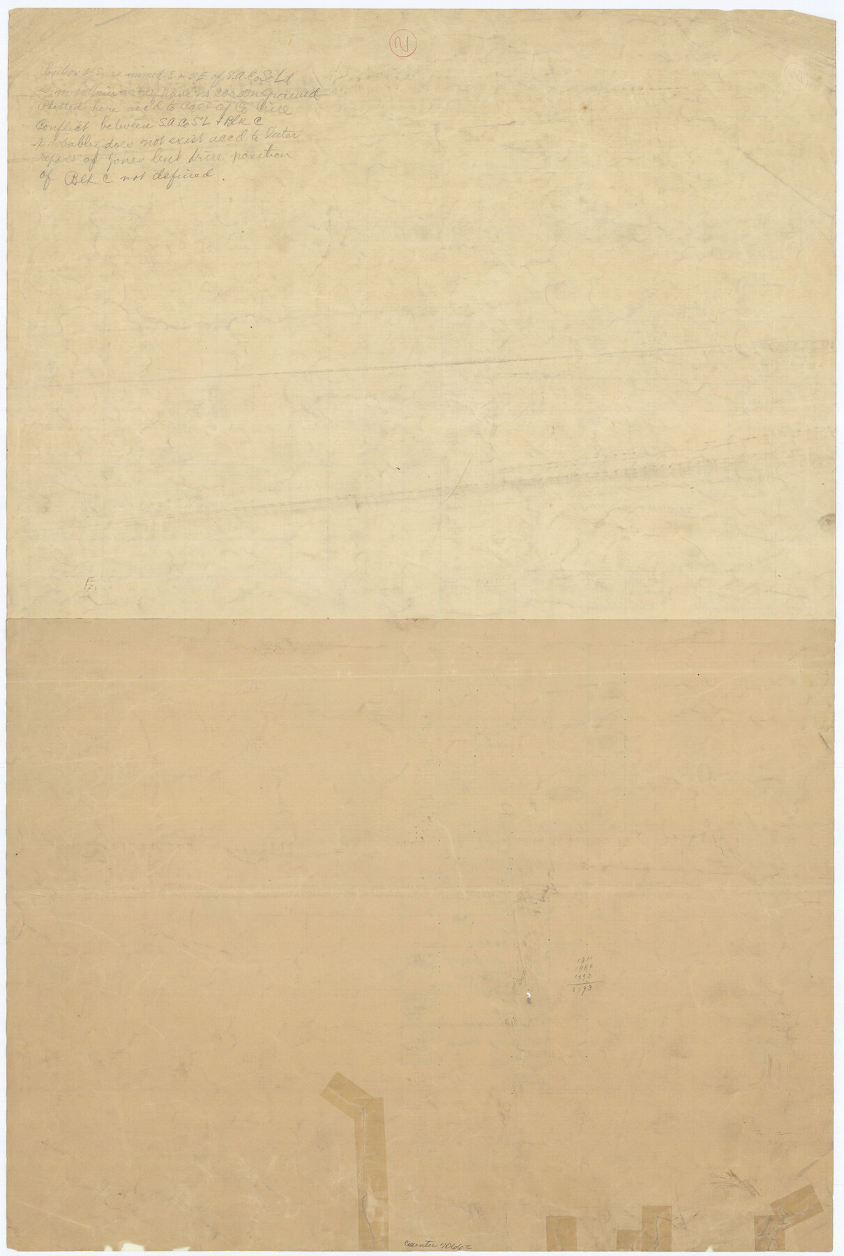
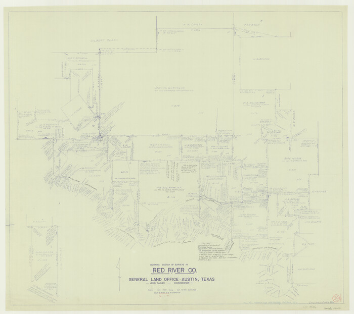
Lubbock County Working Sketch 2
-
Map/Doc
70662
-
Collection
General Map Collection
-
Counties
Lubbock
-
Subjects
Cadastral Surveying Working Sketch
-
Height x Width
31.8 x 21.4 inches
80.8 x 54.4 cm
Part of: General Map Collection
Matagorda County

Print $40.00
- Digital $50.00
Matagorda County
1920
Size 40.6 x 48.6 inches
Map/Doc 73232
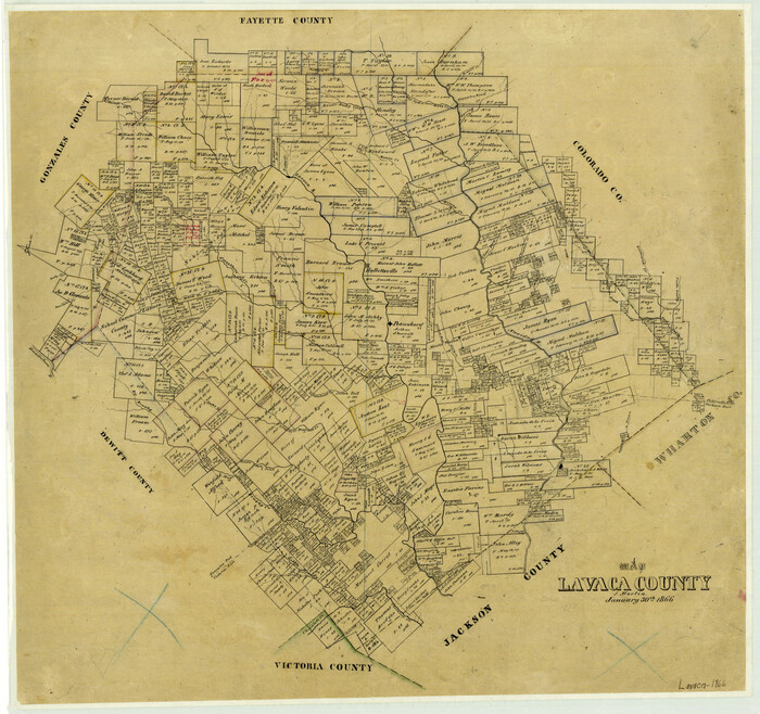
Map of Lavaca County
Print $20.00
- Digital $50.00
Map of Lavaca County
1866
Size 22.3 x 23.7 inches
Map/Doc 3802
Panola County Working Sketch 25

Print $20.00
- Digital $50.00
Panola County Working Sketch 25
Size 19.0 x 27.3 inches
Map/Doc 71434


You may also like
Guadalupe County

Print $20.00
- Digital $50.00
Guadalupe County
1977
Size 35.0 x 45.9 inches
Map/Doc 77297
Comal County Working Sketch 2

Print $20.00
- Digital $50.00
Comal County Working Sketch 2
1940
Size 19.8 x 20.9 inches
Map/Doc 68168
Victoria County Sketch File A

Print $20.00
- Digital $50.00
Victoria County Sketch File A
1902
Size 23.7 x 22.4 inches
Map/Doc 12597