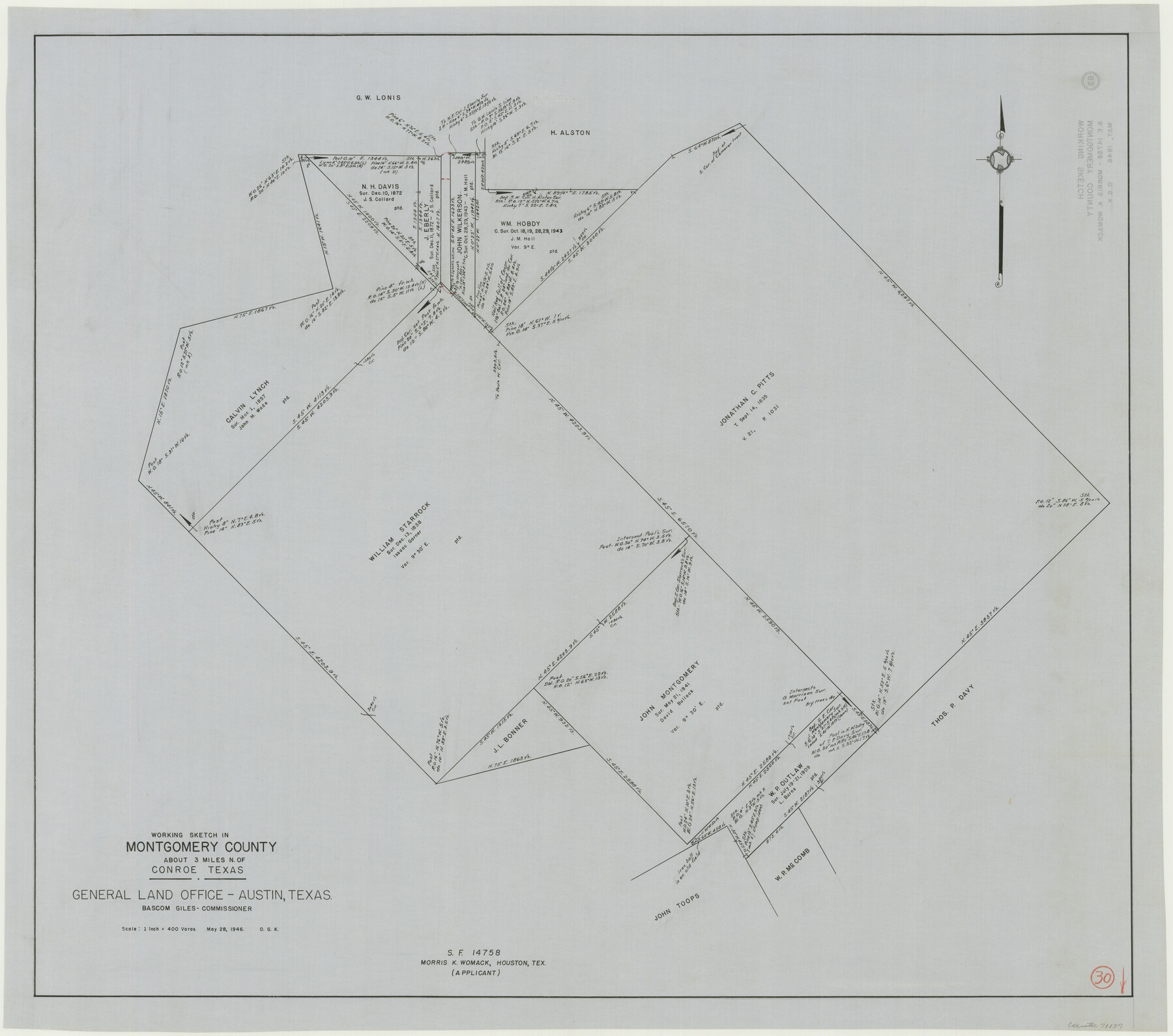
Montgomery County Working Sketch 30
-
Map/Doc
71137
-
Collection
General Map Collection
-
Object Dates
5/28/1946 (Creation Date)
-
People and Organizations
Otto G. Kurio (Draftsman)
-
Counties
Montgomery
-
Subjects
Surveying Working Sketch
-
Height x Width
30.7 x 34.8 inches
78.0 x 88.4 cm
-
Scale
1" = 400 varas
Part of: General Map Collection
Armstrong County Sketch File A-2

Print $40.00
- Digital $50.00
Armstrong County Sketch File A-2
1918
Size 27.0 x 36.6 inches
Map/Doc 10843
Map Showing Survey of Navasota River Bed in Limestone County Texas Located North of Houston and Texas Central Railroad Bridge

Print $40.00
- Digital $50.00
Map Showing Survey of Navasota River Bed in Limestone County Texas Located North of Houston and Texas Central Railroad Bridge
1921
Size 68.0 x 42.5 inches
Map/Doc 65347
San Patricio County Rolled Sketch 7A

Print $20.00
- Digital $50.00
San Patricio County Rolled Sketch 7A
1870
Size 46.8 x 27.3 inches
Map/Doc 9884
Briscoe County

Print $20.00
- Digital $50.00
Briscoe County
1881
Size 26.8 x 21.5 inches
Map/Doc 3333
Travis County Appraisal District Plat Map 2_0404

Print $20.00
- Digital $50.00
Travis County Appraisal District Plat Map 2_0404
Size 21.5 x 26.4 inches
Map/Doc 94229
Map of Lamar County

Print $20.00
- Digital $50.00
Map of Lamar County
1849
Size 25.7 x 26.8 inches
Map/Doc 1236
Controlled Mosaic by Jack Amman Photogrammetric Engineers, Inc - Sheet 24

Print $20.00
- Digital $50.00
Controlled Mosaic by Jack Amman Photogrammetric Engineers, Inc - Sheet 24
1954
Size 20.0 x 24.0 inches
Map/Doc 83475
Orange County Boundary File 1

Print $4.00
- Digital $50.00
Orange County Boundary File 1
Size 9.7 x 6.3 inches
Map/Doc 57773
Hale County Sketch File 27

Print $20.00
- Digital $50.00
Hale County Sketch File 27
Size 12.1 x 28.5 inches
Map/Doc 11598
Presidio County Working Sketch 53

Print $20.00
- Digital $50.00
Presidio County Working Sketch 53
1955
Size 28.6 x 18.9 inches
Map/Doc 71730
Dawson County Sketch File 14

Print $4.00
- Digital $50.00
Dawson County Sketch File 14
Size 11.5 x 7.5 inches
Map/Doc 20547
Flight Mission No. BRA-9M, Frame 68, Jefferson County

Print $20.00
- Digital $50.00
Flight Mission No. BRA-9M, Frame 68, Jefferson County
1953
Size 18.7 x 22.5 inches
Map/Doc 85651
You may also like
Palo Pinto County Rolled Sketch 4

Print $20.00
- Digital $50.00
Palo Pinto County Rolled Sketch 4
Size 15.9 x 23.2 inches
Map/Doc 7189
Crockett County Working Sketch 50

Print $20.00
- Digital $50.00
Crockett County Working Sketch 50
1940
Size 30.3 x 24.9 inches
Map/Doc 68383
Culberson County Sketch File 13

Print $16.00
- Digital $50.00
Culberson County Sketch File 13
1912
Size 11.2 x 8.7 inches
Map/Doc 20146
Hamilton County Working Sketch 12

Print $20.00
- Digital $50.00
Hamilton County Working Sketch 12
1949
Size 43.9 x 41.7 inches
Map/Doc 63350
Childress County Boundary File 3

Print $48.00
- Digital $50.00
Childress County Boundary File 3
Size 9.4 x 4.5 inches
Map/Doc 51330
Layout of the porciones as described in the Visita General of Revilla (Guerrero), 1767, along with six tracts distributed by Gov. Lasaga in 1784 and three others (39-41) assigned at a later date

Layout of the porciones as described in the Visita General of Revilla (Guerrero), 1767, along with six tracts distributed by Gov. Lasaga in 1784 and three others (39-41) assigned at a later date
2009
Size 11.0 x 8.5 inches
Map/Doc 94044
[Texas and Pacific Railway Company, Block 44, Township One South]
![89845, [Texas and Pacific Railway Company, Block 44, Township One South], Twichell Survey Records](https://historictexasmaps.com/wmedia_w700/maps/89845-1.tif.jpg)
Print $40.00
- Digital $50.00
[Texas and Pacific Railway Company, Block 44, Township One South]
Size 42.0 x 59.2 inches
Map/Doc 89845

Lavaca County Rolled Sketch 8

Print $40.00
- Digital $50.00
Lavaca County Rolled Sketch 8
1982
Size 36.5 x 65.6 inches
Map/Doc 10289
Liberty County Working Sketch 29

Print $20.00
- Digital $50.00
Liberty County Working Sketch 29
1943
Size 27.3 x 17.0 inches
Map/Doc 70488
San Antonio, Texas - The Great Winter Resort of the South

San Antonio, Texas - The Great Winter Resort of the South
1930
Size 6.6 x 3.5 inches
Map/Doc 97046
Cooke County Rolled Sketch 1

Print $20.00
- Digital $50.00
Cooke County Rolled Sketch 1
1940
Size 26.2 x 15.8 inches
Map/Doc 5560