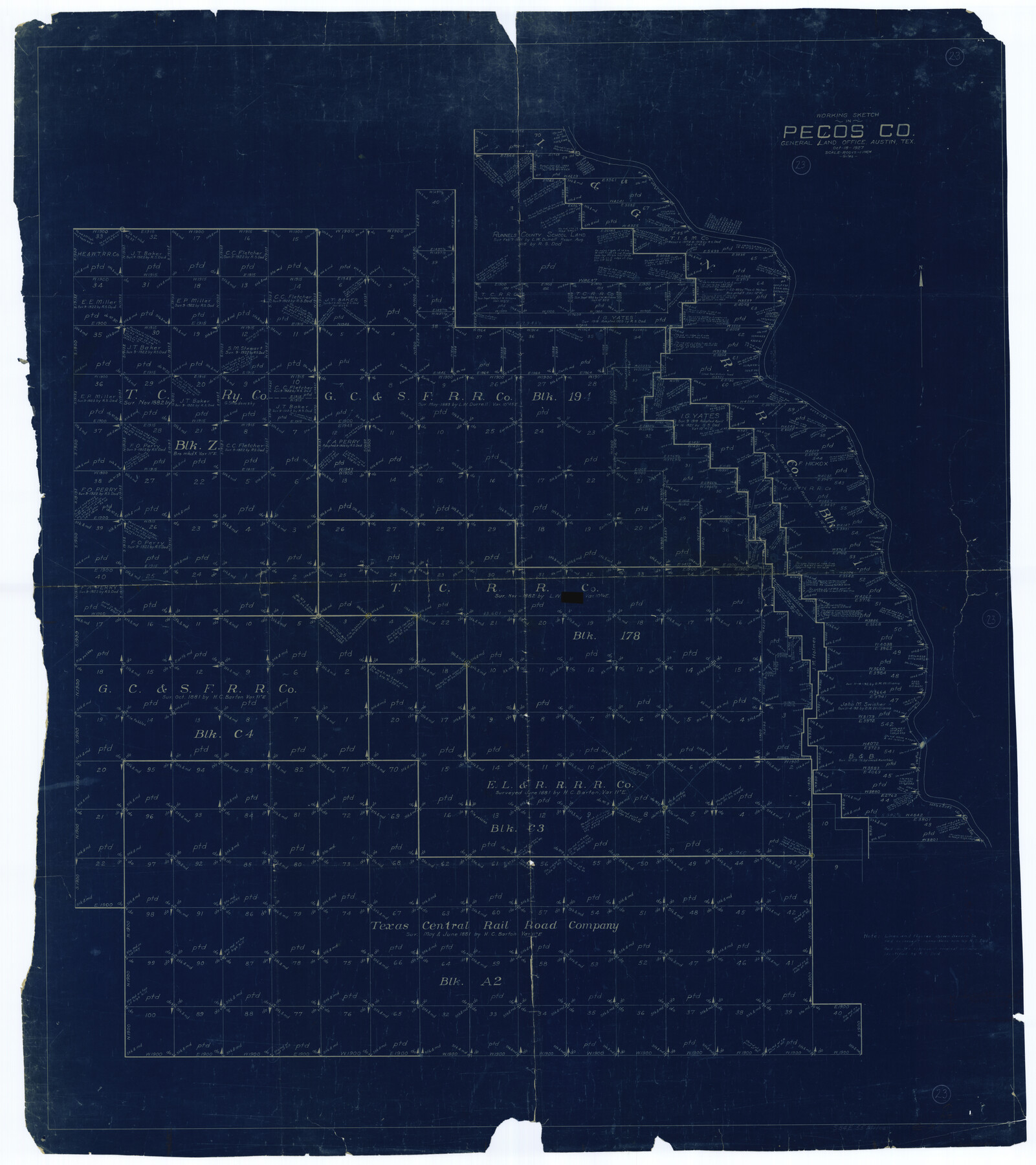
Pecos County Working Sketch 23
-
Map/Doc
71494
-
Collection
General Map Collection
-
Object Dates
10/18/1927 (Creation Date)
-
People and Organizations
J. Bascom Giles (Draftsman)
-
Counties
Pecos
-
Subjects
Surveying Working Sketch
-
Height x Width
45.6 x 40.6 inches
115.8 x 103.1 cm
-
Scale
1" = 1000 varas
Part of: General Map Collection
Crockett County Sketch File 45

Print $14.00
- Digital $50.00
Crockett County Sketch File 45
Size 12.7 x 8.8 inches
Map/Doc 19772
Lynn County Rolled Sketch 15

Print $20.00
- Digital $50.00
Lynn County Rolled Sketch 15
1986
Size 36.4 x 24.5 inches
Map/Doc 6651
Flight Mission No. CRC-2R, Frame 194, Chambers County

Print $20.00
- Digital $50.00
Flight Mission No. CRC-2R, Frame 194, Chambers County
1956
Size 18.8 x 22.6 inches
Map/Doc 84772
Kimble County Working Sketch 58

Print $20.00
- Digital $50.00
Kimble County Working Sketch 58
1959
Size 12.8 x 26.4 inches
Map/Doc 70126
Brazos River, Clodine Sheet

Print $4.00
- Digital $50.00
Brazos River, Clodine Sheet
1930
Size 21.8 x 24.6 inches
Map/Doc 65287
Flight Mission No. BRA-8M, Frame 135, Jefferson County

Print $20.00
- Digital $50.00
Flight Mission No. BRA-8M, Frame 135, Jefferson County
1953
Size 18.7 x 22.3 inches
Map/Doc 85631
Galveston County Rolled Sketch 46A

Print $20.00
- Digital $50.00
Galveston County Rolled Sketch 46A
2000
Size 24.9 x 37.6 inches
Map/Doc 5982
Montague County Working Sketch 41

Print $40.00
- Digital $50.00
Montague County Working Sketch 41
1923
Size 43.3 x 70.1 inches
Map/Doc 65350
[Surveys in Austin's Colony at Matagorda Bay and along the Trespalacios and Colorado Rivers]
![147, [Surveys in Austin's Colony at Matagorda Bay and along the Trespalacios and Colorado Rivers], General Map Collection](https://historictexasmaps.com/wmedia_w700/maps/147.tif.jpg)
Print $20.00
- Digital $50.00
[Surveys in Austin's Colony at Matagorda Bay and along the Trespalacios and Colorado Rivers]
1821
Size 31.6 x 20.5 inches
Map/Doc 147
Hardin County Rolled Sketch TMH

Print $46.00
- Digital $50.00
Hardin County Rolled Sketch TMH
1936
Size 25.7 x 23.9 inches
Map/Doc 6093
Reeves County Working Sketch 44

Print $20.00
- Digital $50.00
Reeves County Working Sketch 44
1974
Size 46.9 x 32.1 inches
Map/Doc 63487
Leon County Rolled Sketch 15

Print $20.00
- Digital $50.00
Leon County Rolled Sketch 15
1979
Size 23.5 x 18.9 inches
Map/Doc 6601
You may also like
Val Verde County Working Sketch 82

Print $20.00
- Digital $50.00
Val Verde County Working Sketch 82
1973
Size 42.1 x 33.1 inches
Map/Doc 72217
Irion County Boundary File 2

Print $60.00
- Digital $50.00
Irion County Boundary File 2
Size 14.3 x 8.9 inches
Map/Doc 55327
[F. W. & D. C. Ry. Co. Alignment and Right of Way Map, Clay County]
![64732, [F. W. & D. C. Ry. Co. Alignment and Right of Way Map, Clay County], General Map Collection](https://historictexasmaps.com/wmedia_w700/maps/64732-GC.tif.jpg)
Print $20.00
- Digital $50.00
[F. W. & D. C. Ry. Co. Alignment and Right of Way Map, Clay County]
1927
Size 18.6 x 11.8 inches
Map/Doc 64732
Harris County Working Sketch 100

Print $20.00
- Digital $50.00
Harris County Working Sketch 100
1979
Size 29.9 x 31.3 inches
Map/Doc 65992
[Blocks T1, T2, and T3]
![90995, [Blocks T1, T2, and T3], Twichell Survey Records](https://historictexasmaps.com/wmedia_w700/maps/90995-1.tif.jpg)
Print $20.00
- Digital $50.00
[Blocks T1, T2, and T3]
1888
Size 16.0 x 25.9 inches
Map/Doc 90995
Donley County Sketch File B5

Print $20.00
- Digital $50.00
Donley County Sketch File B5
1918
Size 22.5 x 18.4 inches
Map/Doc 11375
Upton County Rolled Sketch 59

Print $40.00
- Digital $50.00
Upton County Rolled Sketch 59
1994
Size 36.3 x 49.0 inches
Map/Doc 10638
Flight Mission No. DAG-22K, Frame 73, Matagorda County

Print $20.00
- Digital $50.00
Flight Mission No. DAG-22K, Frame 73, Matagorda County
1953
Size 18.7 x 22.4 inches
Map/Doc 86460
The Republic County of Washington. Boundaries Defined, December 14, 1837

Print $20.00
The Republic County of Washington. Boundaries Defined, December 14, 1837
2020
Size 20.3 x 21.7 inches
Map/Doc 96302
Wheeler County Sketch File 9

Print $12.00
- Digital $50.00
Wheeler County Sketch File 9
1989
Size 11.8 x 9.1 inches
Map/Doc 40008
Brewster County Rolled Sketch 114

Print $20.00
- Digital $50.00
Brewster County Rolled Sketch 114
1964
Size 11.4 x 18.2 inches
Map/Doc 5282
Travis County State Real Property Sketch 3

Print $20.00
- Digital $50.00
Travis County State Real Property Sketch 3
1985
Size 34.3 x 35.9 inches
Map/Doc 61694