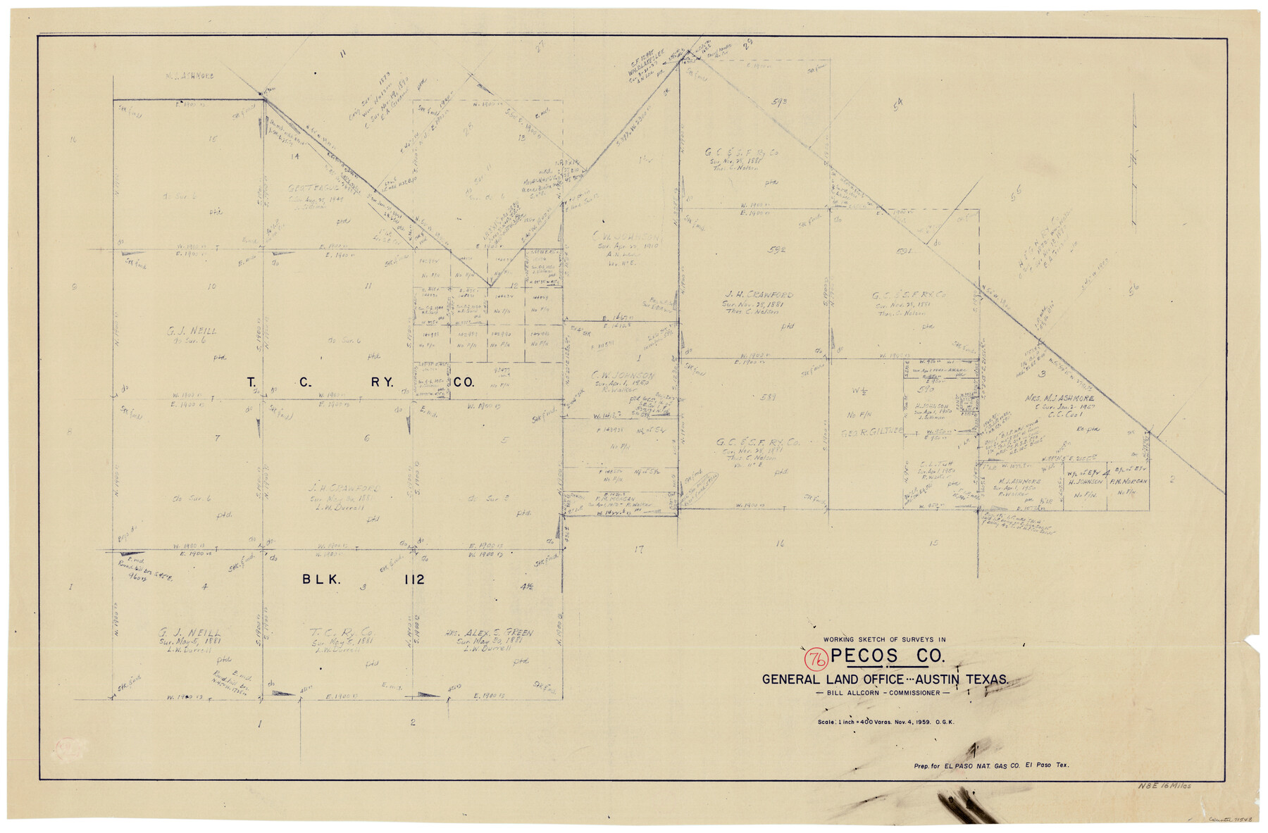
Pecos County Working Sketch 76
-
Map/Doc
71548
-
Collection
General Map Collection
-
Object Dates
11/4/1959 (Creation Date)
-
People and Organizations
Otto G. Kurio (Draftsman)
-
Counties
Pecos
-
Subjects
Surveying Working Sketch
-
Height x Width
26.7 x 40.1 inches
67.8 x 101.9 cm
-
Scale
1" = 400 varas
Part of: General Map Collection
Eastland County Working Sketch 65

Print $20.00
- Digital $50.00
Eastland County Working Sketch 65
1986
Size 37.4 x 16.5 inches
Map/Doc 88892
Goliad County Rolled Sketch 7

Print $69.00
- Digital $50.00
Goliad County Rolled Sketch 7
1849
Size 10.6 x 16.1 inches
Map/Doc 45254
Duval County Sketch File 4c1

Print $4.00
- Digital $50.00
Duval County Sketch File 4c1
1874
Size 10.4 x 7.9 inches
Map/Doc 21286
Presidio County Rolled Sketch T-2

Print $40.00
- Digital $50.00
Presidio County Rolled Sketch T-2
Size 29.9 x 65.1 inches
Map/Doc 9804
La Salle County Rolled Sketch 18

Print $20.00
- Digital $50.00
La Salle County Rolled Sketch 18
Size 29.8 x 20.6 inches
Map/Doc 6582
Cameron County Working Sketch Graphic Index

Print $20.00
- Digital $50.00
Cameron County Working Sketch Graphic Index
1976
Size 32.0 x 39.4 inches
Map/Doc 76486
Gaines County Working Sketch 11

Print $40.00
- Digital $50.00
Gaines County Working Sketch 11
1953
Size 68.4 x 33.4 inches
Map/Doc 69311
Copy of a chart of Aransas and Corpus Christi Bays by an inhabitant of St. Joseph's Island, the main features of which have been verified by the actual examination of myself & other officers of the Army

Print $20.00
- Digital $50.00
Copy of a chart of Aransas and Corpus Christi Bays by an inhabitant of St. Joseph's Island, the main features of which have been verified by the actual examination of myself & other officers of the Army
1846
Size 26.6 x 18.3 inches
Map/Doc 72972
Calhoun County Working Sketch 5

Print $40.00
- Digital $50.00
Calhoun County Working Sketch 5
1941
Size 23.7 x 125.2 inches
Map/Doc 67821
Hopkins County Sketch File 16

Print $4.00
- Digital $50.00
Hopkins County Sketch File 16
1870
Size 8.1 x 10.1 inches
Map/Doc 26713
Red River County Rolled Sketch 10

Print $20.00
- Digital $50.00
Red River County Rolled Sketch 10
2005
Size 35.8 x 35.6 inches
Map/Doc 83316
Brewster County Working Sketch 14

Print $20.00
- Digital $50.00
Brewster County Working Sketch 14
1929
Size 21.3 x 22.7 inches
Map/Doc 67547
You may also like
Flight Mission No. DQN-5K, Frame 28, Calhoun County

Print $20.00
- Digital $50.00
Flight Mission No. DQN-5K, Frame 28, Calhoun County
1953
Size 18.5 x 22.1 inches
Map/Doc 84379
Hardin County Sketch File 53

Print $12.00
- Digital $50.00
Hardin County Sketch File 53
Size 11.4 x 8.8 inches
Map/Doc 25213
Map of Location of the Pecos & Northern Texas Railway from Station 9174+74 to Station 10729+59 = 29.45 Miles through Randall County, Texas

Print $40.00
- Digital $50.00
Map of Location of the Pecos & Northern Texas Railway from Station 9174+74 to Station 10729+59 = 29.45 Miles through Randall County, Texas
1898
Size 24.7 x 86.8 inches
Map/Doc 64088
Intracoastal Waterway in Texas - Corpus Christi to Point Isabel including Arroyo Colorado to Mo. Pac. R.R. Bridge Near Harlingen

Print $20.00
- Digital $50.00
Intracoastal Waterway in Texas - Corpus Christi to Point Isabel including Arroyo Colorado to Mo. Pac. R.R. Bridge Near Harlingen
1933
Size 28.2 x 41.0 inches
Map/Doc 61854
PSL Field Notes for Block A19 in Andrews County, C45 in Andrews and Gaines Counties, C31 in Dawson and Gaines Counties, C34 in Terry and Gaines Counties, C35 in Yoakum and Gaines Counties, and Blocks C30, C32, C33, C43, and C44 in Gaines County

PSL Field Notes for Block A19 in Andrews County, C45 in Andrews and Gaines Counties, C31 in Dawson and Gaines Counties, C34 in Terry and Gaines Counties, C35 in Yoakum and Gaines Counties, and Blocks C30, C32, C33, C43, and C44 in Gaines County
Map/Doc 81643
Hemphill County Texas

Print $20.00
- Digital $50.00
Hemphill County Texas
Size 21.9 x 24.6 inches
Map/Doc 92183
J No. 5 - Reconnaissance of San Pedro Harbor, California

Print $20.00
- Digital $50.00
J No. 5 - Reconnaissance of San Pedro Harbor, California
1852
Size 12.3 x 15.5 inches
Map/Doc 97232
Flight Mission No. CRC-3R, Frame 101, Chambers County

Print $20.00
- Digital $50.00
Flight Mission No. CRC-3R, Frame 101, Chambers County
1956
Size 18.7 x 22.4 inches
Map/Doc 84839
Reagan County Working Sketch 9

Print $20.00
- Digital $50.00
Reagan County Working Sketch 9
1939
Size 12.4 x 24.2 inches
Map/Doc 71849
Hartley County Boundary File 2a

Print $48.00
- Digital $50.00
Hartley County Boundary File 2a
Size 14.2 x 8.8 inches
Map/Doc 54461
Cameron County Rolled Sketch 26

Print $20.00
- Digital $50.00
Cameron County Rolled Sketch 26
Size 18.5 x 24.3 inches
Map/Doc 5390
Galveston County NRC Article 33.136 Sketch 28

Print $26.00
- Digital $50.00
Galveston County NRC Article 33.136 Sketch 28
2004
Size 35.3 x 25.0 inches
Map/Doc 82909