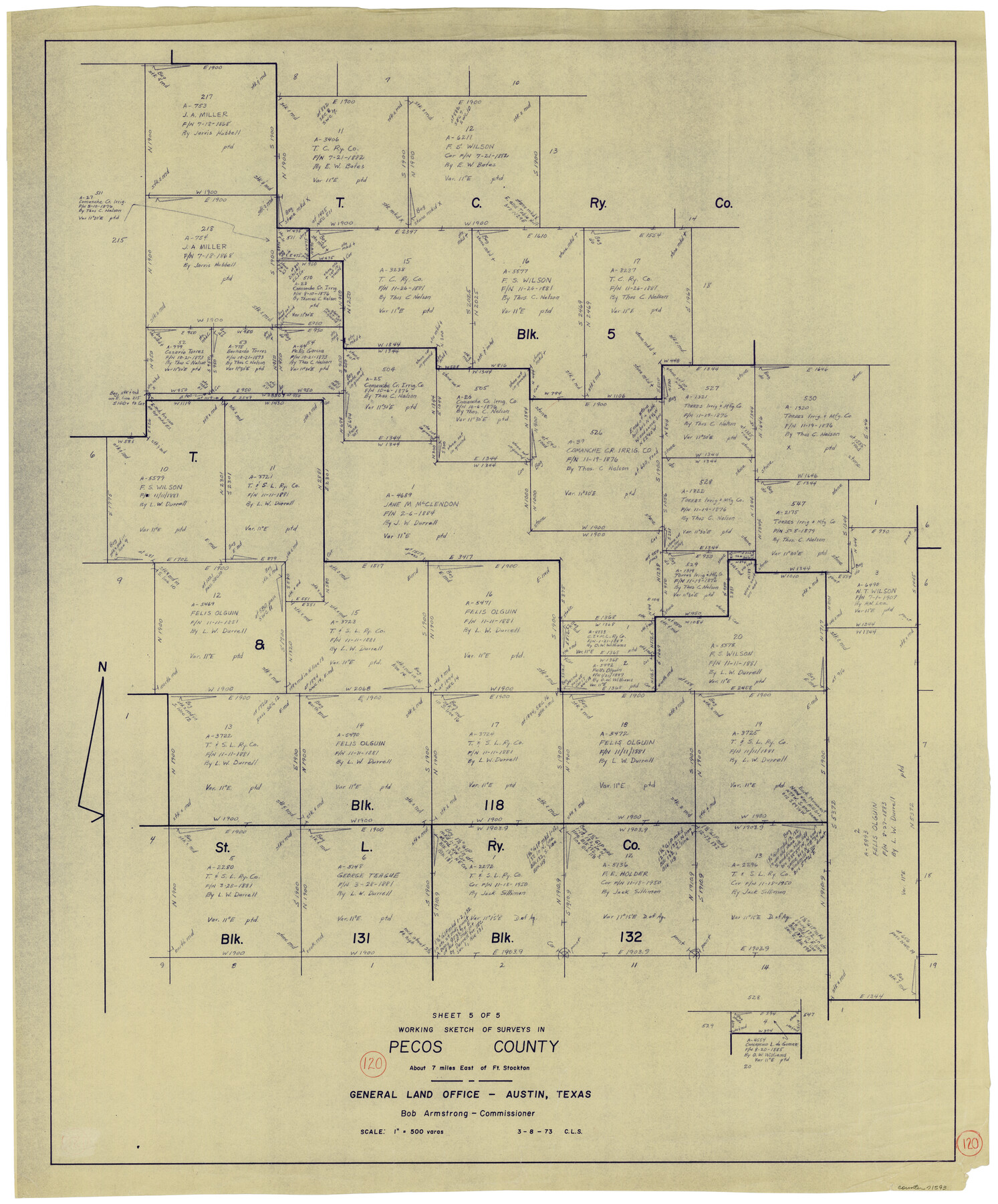
Pecos County Working Sketch 120
-
Map/Doc
71593
-
Collection
General Map Collection
-
Object Dates
3/8/1973 (Creation Date)
-
People and Organizations
Crockett L. Slover (Draftsman)
-
Counties
Pecos
-
Subjects
Surveying Working Sketch
-
Height x Width
34.7 x 29.1 inches
88.1 x 73.9 cm
-
Scale
1" = 500 varas
Part of: General Map Collection
Concho County Sketch File 39

Print $8.00
- Digital $50.00
Concho County Sketch File 39
1949
Size 11.3 x 8.8 inches
Map/Doc 19190
Red River, Bois D'Arc Creek Floodway Sheet No. 5

Print $20.00
- Digital $50.00
Red River, Bois D'Arc Creek Floodway Sheet No. 5
1915
Size 22.3 x 31.9 inches
Map/Doc 69660
Kimble County Working Sketch 69

Print $20.00
- Digital $50.00
Kimble County Working Sketch 69
1965
Size 42.4 x 30.5 inches
Map/Doc 70137
Wood County Rolled Sketch 1

Print $40.00
- Digital $50.00
Wood County Rolled Sketch 1
1941
Size 53.2 x 43.8 inches
Map/Doc 10159
San Augustine County Rolled Sketch 1

Print $20.00
- Digital $50.00
San Augustine County Rolled Sketch 1
Size 16.6 x 13.8 inches
Map/Doc 7552
Mills County Sketch File 28

Print $8.00
- Digital $50.00
Mills County Sketch File 28
2000
Size 14.3 x 8.7 inches
Map/Doc 31684
Nueces County Sketch File 26a

Print $14.00
- Digital $50.00
Nueces County Sketch File 26a
1894
Size 12.6 x 7.9 inches
Map/Doc 32581
Flight Mission No. CRC-2R, Frame 53, Chambers County

Print $20.00
- Digital $50.00
Flight Mission No. CRC-2R, Frame 53, Chambers County
1956
Size 18.5 x 22.4 inches
Map/Doc 84726
Atascosa County Rolled Sketch 23

Print $20.00
- Digital $50.00
Atascosa County Rolled Sketch 23
1940
Size 36.4 x 24.3 inches
Map/Doc 5102
Webb County Working Sketch 41

Print $20.00
- Digital $50.00
Webb County Working Sketch 41
1941
Size 15.7 x 18.8 inches
Map/Doc 72406
Brown County Working Sketch 10

Print $20.00
- Digital $50.00
Brown County Working Sketch 10
1982
Size 25.3 x 25.5 inches
Map/Doc 67775
La Salle County Sketch File 35

Print $40.00
- Digital $50.00
La Salle County Sketch File 35
Size 12.1 x 19.7 inches
Map/Doc 29587
You may also like
Map of Panola County

Print $20.00
- Digital $50.00
Map of Panola County
1871
Size 16.5 x 17.7 inches
Map/Doc 3938
Flight Mission No. CRC-3R, Frame 12, Chambers County

Print $20.00
- Digital $50.00
Flight Mission No. CRC-3R, Frame 12, Chambers County
1956
Size 18.4 x 22.2 inches
Map/Doc 84786
Hardin County Sketch File 52

Print $6.00
- Digital $50.00
Hardin County Sketch File 52
Size 11.5 x 8.9 inches
Map/Doc 25210
Pecos County Working Sketch 11

Print $40.00
- Digital $50.00
Pecos County Working Sketch 11
1907
Size 48.6 x 38.2 inches
Map/Doc 71481
Terry County Sketch File 14

Print $20.00
- Digital $50.00
Terry County Sketch File 14
Size 11.1 x 42.4 inches
Map/Doc 10398
Val Verde County Rolled Sketch 47

Print $20.00
- Digital $50.00
Val Verde County Rolled Sketch 47
Size 17.4 x 23.0 inches
Map/Doc 49466
El Paso County Working Sketch 35

Print $20.00
- Digital $50.00
El Paso County Working Sketch 35
1977
Size 19.8 x 30.3 inches
Map/Doc 69057
[Castro, Lamb, Hockley, Swisher, Hale, and Lubbock Counties]
![91026, [Castro, Lamb, Hockley, Swisher, Hale, and Lubbock Counties], Twichell Survey Records](https://historictexasmaps.com/wmedia_w700/maps/91026-1.tif.jpg)
Print $20.00
- Digital $50.00
[Castro, Lamb, Hockley, Swisher, Hale, and Lubbock Counties]
Size 28.7 x 37.6 inches
Map/Doc 91026
Preliminary survey of the entrance to the Rio Grande, Texas

Print $20.00
- Digital $50.00
Preliminary survey of the entrance to the Rio Grande, Texas
1854
Size 18.3 x 24.5 inches
Map/Doc 73005
[H. & T. C. RR. Company, Block 47 and vicinity]
![91246, [H. & T. C. RR. Company, Block 47 and vicinity], Twichell Survey Records](https://historictexasmaps.com/wmedia_w700/maps/91246-1.tif.jpg)
Print $20.00
- Digital $50.00
[H. & T. C. RR. Company, Block 47 and vicinity]
Size 37.6 x 26.3 inches
Map/Doc 91246
Wise County Working Sketch 19

Print $20.00
- Digital $50.00
Wise County Working Sketch 19
1978
Size 28.6 x 32.5 inches
Map/Doc 72633
The Judicial District/County of DeWitt. Created, February 2, 1842

Print $20.00
The Judicial District/County of DeWitt. Created, February 2, 1842
2020
Size 22.4 x 21.7 inches
Map/Doc 96325