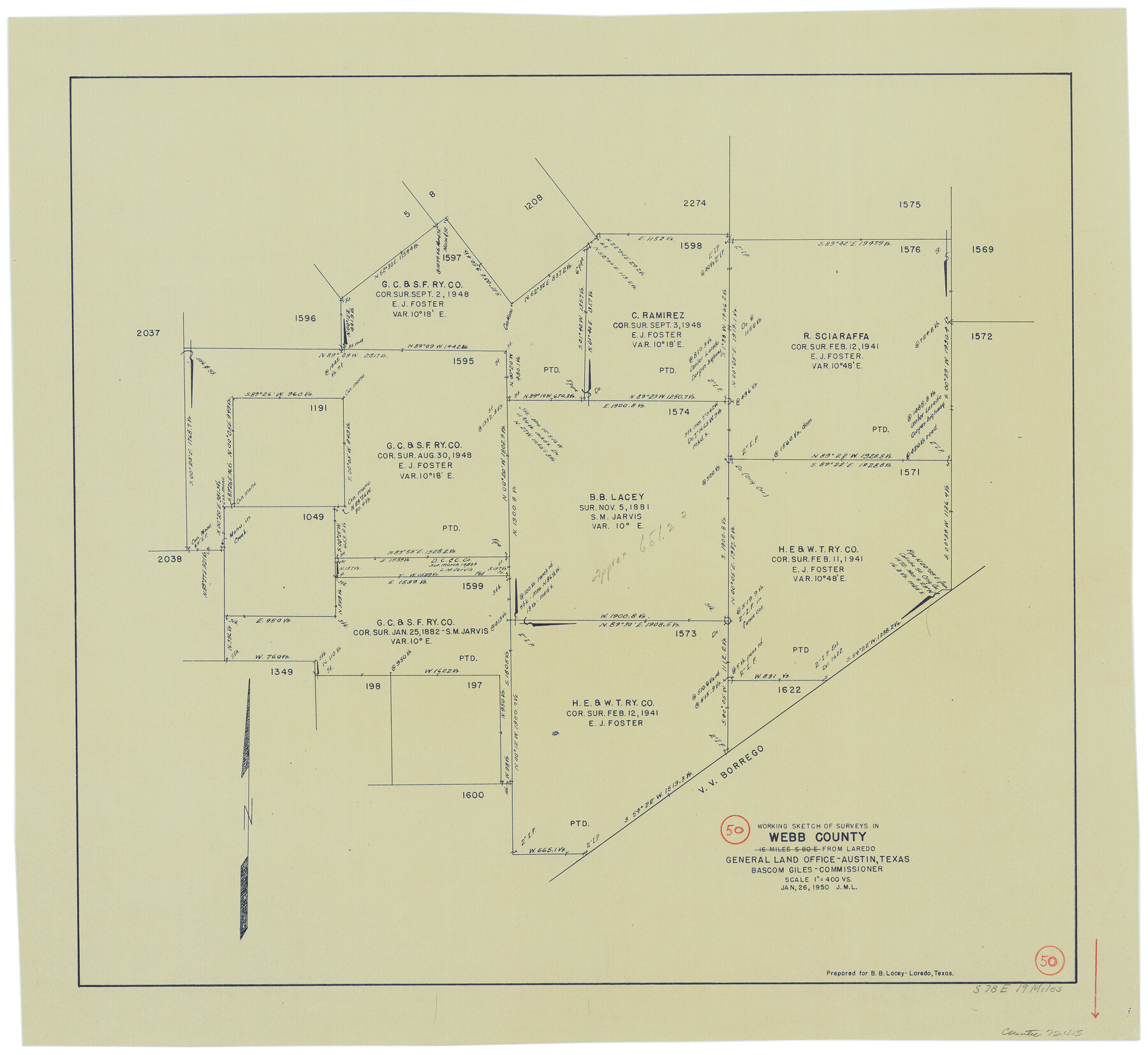
Webb County Working Sketch 50
-
Map/Doc
72415
-
Collection
General Map Collection
-
Object Dates
1/26/1950 (Creation Date)
-
Counties
Webb
-
Subjects
Surveying Working Sketch
-
Height x Width
22.9 x 24.9 inches
58.2 x 63.3 cm
-
Scale
1" = 400 varas
Part of: General Map Collection
Map of Marion County


Print $20.00
- Digital $50.00
Map of Marion County
1920
Size 29.2 x 43.2 inches
Map/Doc 66916
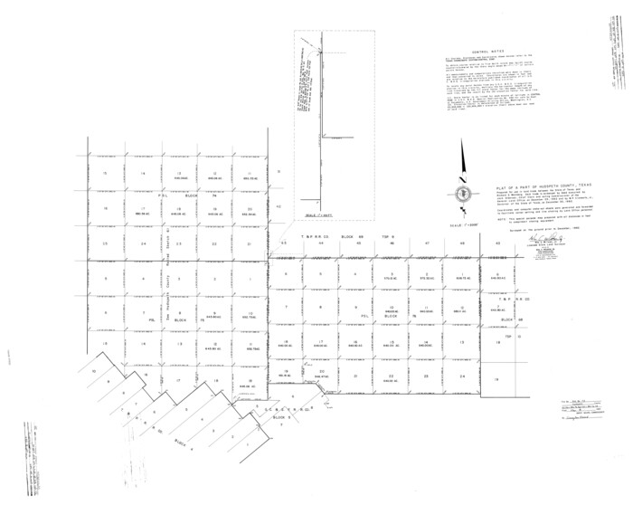
Hudspeth County Rolled Sketch 70

Print $40.00
- Digital $50.00
Hudspeth County Rolled Sketch 70
1982
Size 38.1 x 47.7 inches
Map/Doc 9233
Flight Mission No. BRE-2P, Frame 10, Nueces County


Print $20.00
- Digital $50.00
Flight Mission No. BRE-2P, Frame 10, Nueces County
1956
Size 17.9 x 21.5 inches
Map/Doc 86719
Fayette County Working Sketch 7


Print $20.00
- Digital $50.00
Fayette County Working Sketch 7
1981
Size 24.1 x 15.6 inches
Map/Doc 69171
Brewster County Rolled Sketch 112


Print $20.00
- Digital $50.00
Brewster County Rolled Sketch 112
1962
Size 28.9 x 25.7 inches
Map/Doc 5263
Dallas County Working Sketch 16


Print $20.00
- Digital $50.00
Dallas County Working Sketch 16
1981
Size 15.7 x 12.0 inches
Map/Doc 68582
Navarro County Sketch File 20


Print $14.00
- Digital $50.00
Navarro County Sketch File 20
1967
Size 14.3 x 8.8 inches
Map/Doc 32343
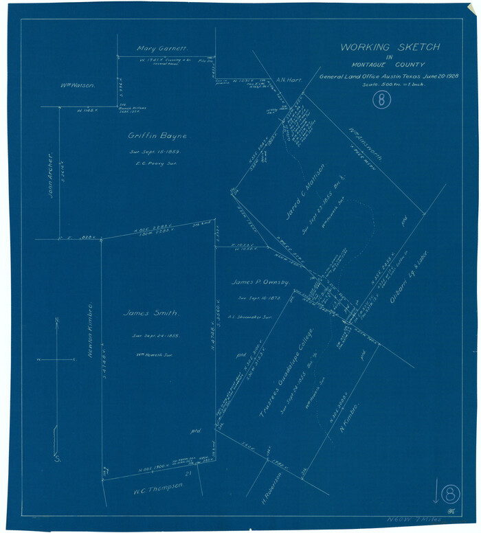
Montague County Working Sketch 8

Print $20.00
- Digital $50.00
Montague County Working Sketch 8
1928
Size 20.9 x 18.9 inches
Map/Doc 71074
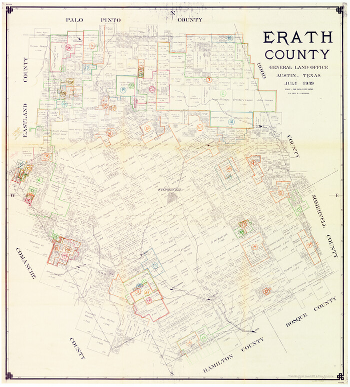
Erath County Working Sketch Graphic Index

Print $20.00
- Digital $50.00
Erath County Working Sketch Graphic Index
1939
Size 46.1 x 42.4 inches
Map/Doc 76538
Matagorda County Sketch File 25
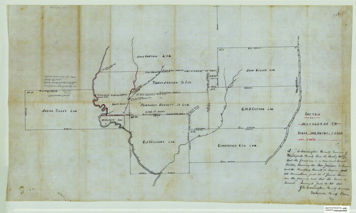

Print $20.00
- Digital $50.00
Matagorda County Sketch File 25
1903
Size 18.1 x 30.3 inches
Map/Doc 12041
Tyler County Working Sketch 12
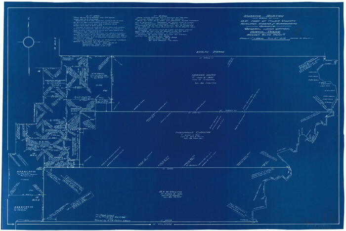

Print $20.00
- Digital $50.00
Tyler County Working Sketch 12
1942
Size 21.2 x 31.7 inches
Map/Doc 69482
You may also like
Travis County Working Sketch 41
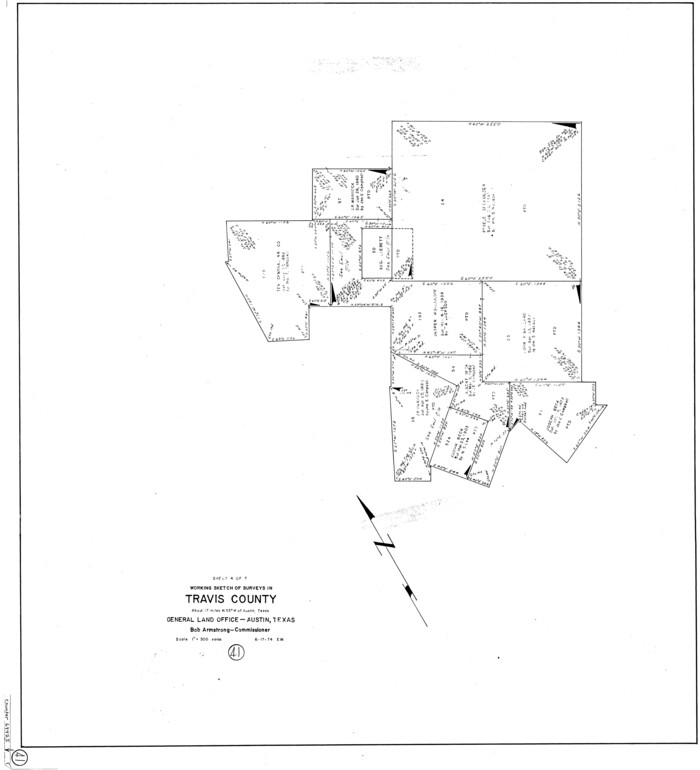

Print $20.00
- Digital $50.00
Travis County Working Sketch 41
1974
Size 34.4 x 31.3 inches
Map/Doc 69425
Reeves County Working Sketch 52
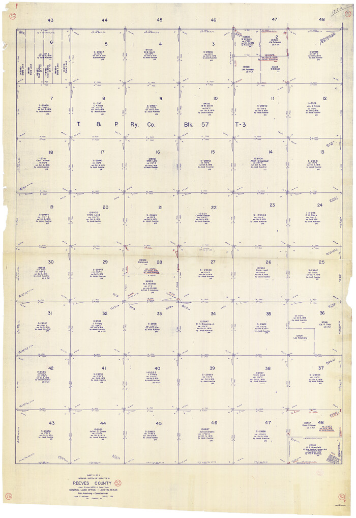

Print $40.00
- Digital $50.00
Reeves County Working Sketch 52
1977
Size 60.3 x 41.9 inches
Map/Doc 63495
McMullen County Sketch File 21
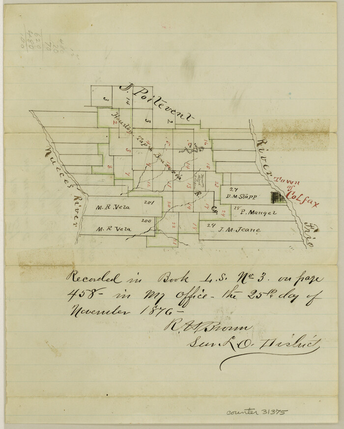

Print $4.00
- Digital $50.00
McMullen County Sketch File 21
1876
Size 10.0 x 8.0 inches
Map/Doc 31375
Burnet County Working Sketch 23
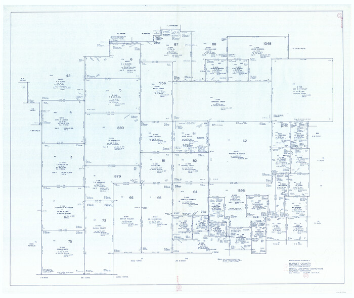

Print $40.00
- Digital $50.00
Burnet County Working Sketch 23
1987
Size 43.8 x 51.9 inches
Map/Doc 67866
Topographical Map of the Rio Grande, Sheet No. 11


Print $20.00
- Digital $50.00
Topographical Map of the Rio Grande, Sheet No. 11
1912
Map/Doc 89535
Chambers County Sketch File 24


Print $20.00
- Digital $50.00
Chambers County Sketch File 24
1909
Size 34.1 x 14.5 inches
Map/Doc 11065
Flight Mission No. CRE-2R, Frame 80, Jackson County


Print $20.00
- Digital $50.00
Flight Mission No. CRE-2R, Frame 80, Jackson County
1956
Size 18.7 x 22.3 inches
Map/Doc 85352
Refugio County Working Sketch 14
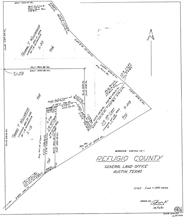

Print $20.00
- Digital $50.00
Refugio County Working Sketch 14
1961
Size 25.7 x 21.7 inches
Map/Doc 63523
Bee County Sketch File X
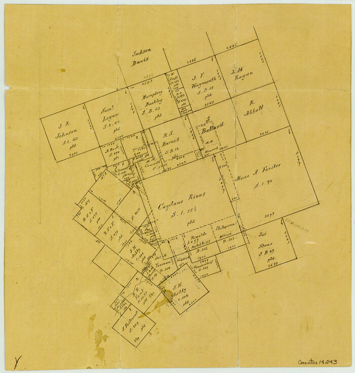

Print $6.00
- Digital $50.00
Bee County Sketch File X
Size 11.5 x 11.0 inches
Map/Doc 14243
Copy of Surveyor's Field Book, Morris Browning - In Blocks 7, 5 & 4, I&GNRRCo., Hutchinson and Carson Counties, Texas


Print $2.00
- Digital $50.00
Copy of Surveyor's Field Book, Morris Browning - In Blocks 7, 5 & 4, I&GNRRCo., Hutchinson and Carson Counties, Texas
1888
Size 6.9 x 8.8 inches
Map/Doc 62281
Flight Mission No. CRC-5R, Frame 17, Chambers County


Print $20.00
- Digital $50.00
Flight Mission No. CRC-5R, Frame 17, Chambers County
1956
Size 18.8 x 22.5 inches
Map/Doc 84939
Crosby County Boundary File 4a


Print $30.00
- Digital $50.00
Crosby County Boundary File 4a
Size 8.8 x 32.8 inches
Map/Doc 52028
