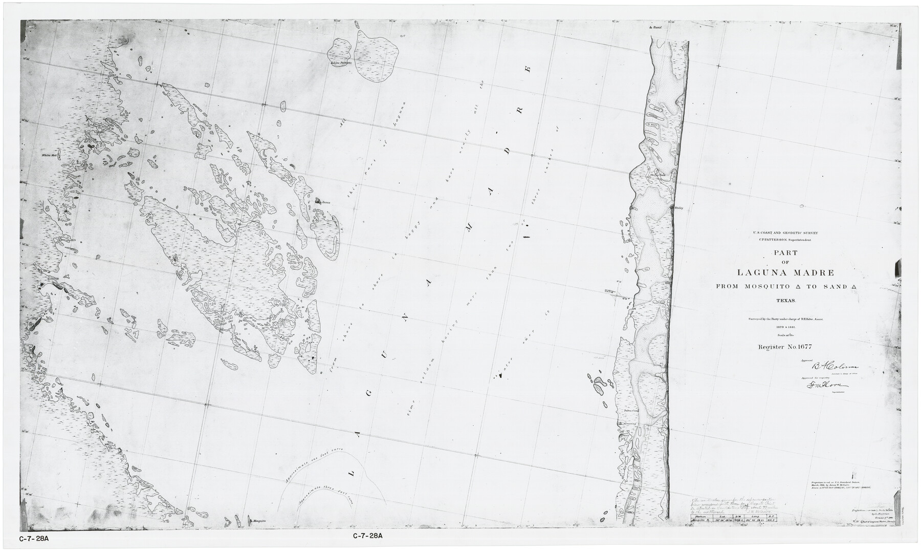
Part of Laguna Madre from Mosquito Trangulation Station to Sand Triangulation Station
C-7-28c
-
Map/Doc
73486
-
Collection
General Map Collection
-
Object Dates
1881 (Creation Date)
-
Counties
Kenedy
-
Subjects
Nautical Charts
-
Height x Width
34.5 x 54.6 inches
87.6 x 138.7 cm
Part of: General Map Collection
Flight Mission No. CRE-3R, Frame 41, Jackson County

Print $20.00
- Digital $50.00
Flight Mission No. CRE-3R, Frame 41, Jackson County
1956
Size 18.6 x 22.4 inches
Map/Doc 85388
Starr County Sketch File 5

Print $40.00
- Digital $50.00
Starr County Sketch File 5
Size 31.4 x 40.7 inches
Map/Doc 82571
![94197, New Mexico [Verso], General Map Collection](https://historictexasmaps.com/wmedia_w700/maps/94197.tif.jpg)
Flight Mission No. BRA-16M, Frame 98, Jefferson County

Print $20.00
- Digital $50.00
Flight Mission No. BRA-16M, Frame 98, Jefferson County
1953
Size 18.7 x 22.4 inches
Map/Doc 85710
Brewster County Working Sketch 118

Print $20.00
- Digital $50.00
Brewster County Working Sketch 118
1929
Size 27.0 x 20.5 inches
Map/Doc 67718
Zapata County Sketch File 13a

Print $20.00
- Digital $50.00
Zapata County Sketch File 13a
1935
Size 21.4 x 16.0 inches
Map/Doc 12722
Map of the United States, the British Provinces, Mexico &c. Showing the Routes of the U.S. Mail Steam Packets to California and a Plan of the Gold Region

Print $20.00
- Digital $50.00
Map of the United States, the British Provinces, Mexico &c. Showing the Routes of the U.S. Mail Steam Packets to California and a Plan of the Gold Region
1849
Size 19.6 x 26.6 inches
Map/Doc 95695
Zapata County Rolled Sketch 16

Print $20.00
- Digital $50.00
Zapata County Rolled Sketch 16
1940
Size 30.3 x 19.4 inches
Map/Doc 8314
Hutchinson County Working Sketch 47

Print $20.00
- Digital $50.00
Hutchinson County Working Sketch 47
1980
Size 35.2 x 19.9 inches
Map/Doc 66407
Travis County

Print $40.00
- Digital $50.00
Travis County
1936
Size 46.9 x 54.1 inches
Map/Doc 95479
Traced from Genl. Arista's map captured by the American Army under Genl. Taylor at Resaca de la Palma 9th May '46 and presented to James K. Polk, President U. States

Print $20.00
- Digital $50.00
Traced from Genl. Arista's map captured by the American Army under Genl. Taylor at Resaca de la Palma 9th May '46 and presented to James K. Polk, President U. States
1846
Size 18.2 x 27.4 inches
Map/Doc 73061
Map of Bexar County

Print $40.00
- Digital $50.00
Map of Bexar County
1845
Size 90.6 x 81.0 inches
Map/Doc 82242
You may also like
Polk County Sketch File 12a

Print $4.00
- Digital $50.00
Polk County Sketch File 12a
Size 6.1 x 6.4 inches
Map/Doc 34148
Map of Galveston West Bay, Galveston Island & Chocolate Bay

Print $40.00
- Digital $50.00
Map of Galveston West Bay, Galveston Island & Chocolate Bay
1852
Size 50.5 x 29.9 inches
Map/Doc 69924
Val Verde County Sketch File 31

Print $18.00
- Digital $50.00
Val Verde County Sketch File 31
1922
Size 11.2 x 9.0 inches
Map/Doc 39240
Starr County Sketch File 47

Print $6.00
- Digital $50.00
Starr County Sketch File 47
1949
Size 11.2 x 8.8 inches
Map/Doc 37002
Map of Shackelford County, North of the Clearfork of the Brazos River Young - South of il Milam - Land District

Print $20.00
- Digital $50.00
Map of Shackelford County, North of the Clearfork of the Brazos River Young - South of il Milam - Land District
1859
Size 24.8 x 19.9 inches
Map/Doc 4027
Kimble County Rolled Sketch 26

Print $20.00
- Digital $50.00
Kimble County Rolled Sketch 26
1960
Size 26.4 x 21.6 inches
Map/Doc 6516
Loving County, Texas

Print $20.00
- Digital $50.00
Loving County, Texas
1889
Size 18.8 x 23.8 inches
Map/Doc 638
United States - Gulf Coast - Galveston to Rio Grande

Print $20.00
- Digital $50.00
United States - Gulf Coast - Galveston to Rio Grande
1940
Size 27.1 x 18.2 inches
Map/Doc 72758
Crane County Working Sketch 30

Print $20.00
- Digital $50.00
Crane County Working Sketch 30
1980
Size 37.5 x 39.2 inches
Map/Doc 68307
The Mexican Department of Bexar. Created, 1827

Print $20.00
The Mexican Department of Bexar. Created, 1827
2020
Size 16.6 x 21.7 inches
Map/Doc 95967
General Highway Map, Erath County, Texas

Print $20.00
General Highway Map, Erath County, Texas
1961
Size 24.6 x 18.2 inches
Map/Doc 79460
In the Supreme Court of the United States, The State of Oklahoma, Complainant vs. The State of Texas, Defendant, The United States of America, Intervener, Red River Valley, Texas and Oklahoma Between the 98th and 100th Meridians in Five Sheets, 1921

Print $40.00
- Digital $50.00
In the Supreme Court of the United States, The State of Oklahoma, Complainant vs. The State of Texas, Defendant, The United States of America, Intervener, Red River Valley, Texas and Oklahoma Between the 98th and 100th Meridians in Five Sheets, 1921
1921
Size 37.1 x 60.6 inches
Map/Doc 75278