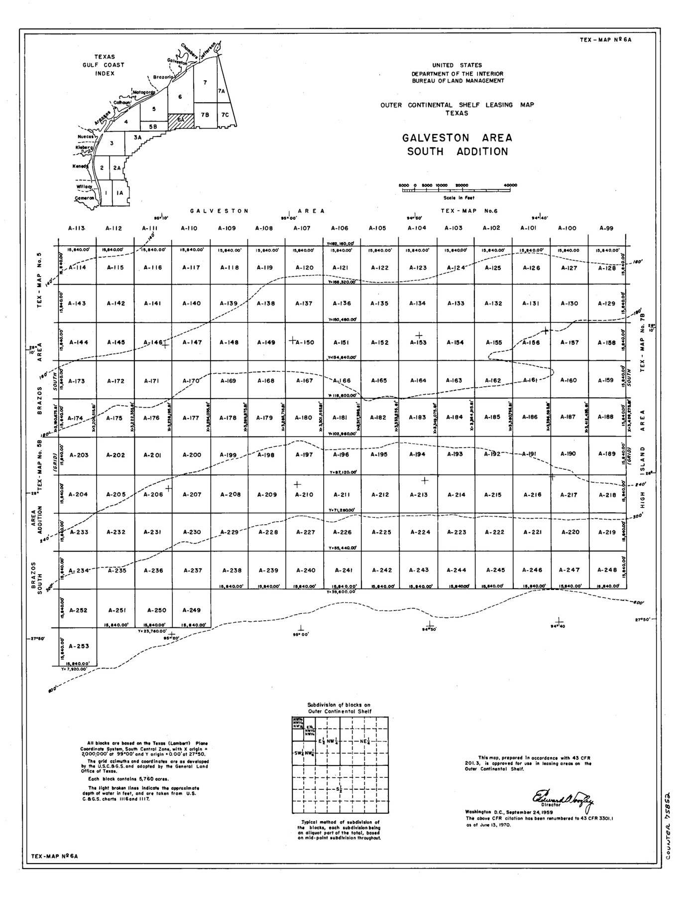
Outer Continental Shelf Leasing Maps (Texas Offshore Operations)
D-7-1; D-7-2
-
Map/Doc
75852
-
Collection
General Map Collection
-
Subjects
Energy Offshore Submerged Area
-
Height x Width
18.0 x 13.9 inches
45.7 x 35.3 cm
Part of: General Map Collection
Travis County Working Sketch 46

Print $20.00
- Digital $50.00
Travis County Working Sketch 46
1981
Size 46.6 x 36.9 inches
Map/Doc 69430
Bandera County Working Sketch 20

Print $20.00
- Digital $50.00
Bandera County Working Sketch 20
1947
Size 25.4 x 19.8 inches
Map/Doc 67616
Dallas County Sketch File 23

Print $6.00
- Digital $50.00
Dallas County Sketch File 23
1860
Size 14.5 x 8.8 inches
Map/Doc 20456
[Surveys in Austin's Colony along Saline Creek]
![180, [Surveys in Austin's Colony along Saline Creek], General Map Collection](https://historictexasmaps.com/wmedia_w700/maps/180.tif.jpg)
Print $20.00
- Digital $50.00
[Surveys in Austin's Colony along Saline Creek]
Size 20.8 x 20.7 inches
Map/Doc 180


Flight Mission No. DQO-11K, Frame 22, Galveston County

Print $20.00
- Digital $50.00
Flight Mission No. DQO-11K, Frame 22, Galveston County
1952
Size 18.8 x 22.5 inches
Map/Doc 85219
Potter County Working Sketch 5

Print $20.00
- Digital $50.00
Potter County Working Sketch 5
1920
Size 41.3 x 37.1 inches
Map/Doc 71665
Wharton County Sketch File 1

Print $6.00
- Digital $50.00
Wharton County Sketch File 1
Size 10.6 x 8.7 inches
Map/Doc 39910
Kerr County Sketch File 23

Print $8.00
- Digital $50.00
Kerr County Sketch File 23
1959
Size 14.2 x 8.8 inches
Map/Doc 28901
Williamson County Sketch File 23

Print $4.00
- Digital $50.00
Williamson County Sketch File 23
1877
Size 12.8 x 8.1 inches
Map/Doc 40353
Carson County Working Sketch 2

Print $3.00
- Digital $50.00
Carson County Working Sketch 2
1907
Size 16.7 x 10.0 inches
Map/Doc 67873
You may also like
Garden City Townsite, Section 5, Range 4 South, Block 33

Print $3.00
- Digital $50.00
Garden City Townsite, Section 5, Range 4 South, Block 33
1886
Size 9.4 x 14.5 inches
Map/Doc 90764
Marion County Boundary File 61

Print $6.00
- Digital $50.00
Marion County Boundary File 61
Size 12.8 x 8.2 inches
Map/Doc 56816
Nolan County Sketch File 5

Print $40.00
- Digital $50.00
Nolan County Sketch File 5
Size 51.0 x 44.0 inches
Map/Doc 10558
Nolan County Sketch File 9

Print $26.00
- Digital $50.00
Nolan County Sketch File 9
1902
Size 14.3 x 9.0 inches
Map/Doc 32465
Liberty County Working Sketch 27

Print $20.00
- Digital $50.00
Liberty County Working Sketch 27
1942
Size 22.1 x 25.2 inches
Map/Doc 70486
Map of Upshur County, Texas

Print $20.00
- Digital $50.00
Map of Upshur County, Texas
1879
Size 21.5 x 17.5 inches
Map/Doc 763
Hopkins County Rolled Sketch 1

Print $20.00
- Digital $50.00
Hopkins County Rolled Sketch 1
Size 34.5 x 40.0 inches
Map/Doc 6224

Presidio County Rolled Sketch 4

Print $2.00
- Digital $50.00
Presidio County Rolled Sketch 4
Size 10.1 x 6.3 inches
Map/Doc 75984
Kimble County Rolled Sketch 17 1/2

Print $59.00
- Digital $50.00
Kimble County Rolled Sketch 17 1/2
1889
Size 27.0 x 38.3 inches
Map/Doc 6510
Gray County Sketch File B2

Print $20.00
- Digital $50.00
Gray County Sketch File B2
Size 22.8 x 17.3 inches
Map/Doc 11579
General Highway Map. Detail of Cities and Towns in Wharton County, Texas

Print $20.00
General Highway Map. Detail of Cities and Towns in Wharton County, Texas
1961
Size 18.3 x 24.8 inches
Map/Doc 79707