General Highway Map, Detail of Cities and Towns in Delta County, Hopkins County [Cooper and vicinity]
-
Map/Doc
79440
-
Collection
Texas State Library and Archives
-
Object Dates
1961 (Creation Date)
-
People and Organizations
Texas State Highway Department (Publisher)
-
Counties
Delta Hopkins
-
Subjects
City County
-
Height x Width
18.2 x 24.4 inches
46.2 x 62.0 cm
-
Comments
Prints available courtesy of the Texas State Library and Archives.
More info can be found here: TSLAC Map 05110
Part of: Texas State Library and Archives
General Highway Map, Sherman County, Texas


Print $20.00
General Highway Map, Sherman County, Texas
1961
Size 18.2 x 24.8 inches
Map/Doc 79653
General Highway Map, Lipscomb County, Texas
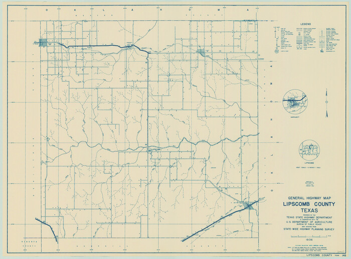

Print $20.00
General Highway Map, Lipscomb County, Texas
1940
Size 18.2 x 24.7 inches
Map/Doc 79175
General Highway Map, Harrison County, Texas


Print $20.00
General Highway Map, Harrison County, Texas
1940
Size 18.2 x 24.8 inches
Map/Doc 79121
General Highway Map. Detail of Cities and Towns in Travis County, Texas [Austin]
![79262, General Highway Map. Detail of Cities and Towns in Travis County, Texas [Austin], Texas State Library and Archives](https://historictexasmaps.com/wmedia_w700/maps/79262-1.tif.jpg)
![79262, General Highway Map. Detail of Cities and Towns in Travis County, Texas [Austin], Texas State Library and Archives](https://historictexasmaps.com/wmedia_w700/maps/79262-1.tif.jpg)
Print $20.00
General Highway Map. Detail of Cities and Towns in Travis County, Texas [Austin]
1940
Size 18.2 x 25.0 inches
Map/Doc 79262
General Highway Map, Navarro County, Texas


Print $20.00
General Highway Map, Navarro County, Texas
1961
Size 19.3 x 25.0 inches
Map/Doc 79610
A Map of the Internal Provinces of New Spain


Print $20.00
A Map of the Internal Provinces of New Spain
1807
Size 18.9 x 19.5 inches
Map/Doc 76234
Map of the Country Upon the Brazos and Big Wichita Rivers Embracing the Lands appropriated by the State of Texas for the Use of the Indians


Print $20.00
Map of the Country Upon the Brazos and Big Wichita Rivers Embracing the Lands appropriated by the State of Texas for the Use of the Indians
1854
Size 28.8 x 32.3 inches
Map/Doc 76284
General Highway Map, Red River County, Texas


Print $20.00
General Highway Map, Red River County, Texas
1961
Size 24.6 x 18.1 inches
Map/Doc 79637
General Highway Map, Washington County, Texas


Print $20.00
General Highway Map, Washington County, Texas
1961
Size 18.1 x 24.7 inches
Map/Doc 79703
Stremme General Land Office Drawings, front door
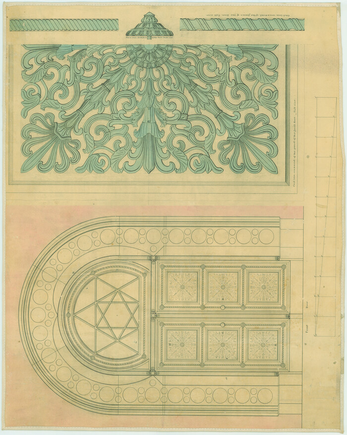

Print $20.00
Stremme General Land Office Drawings, front door
Size 27.4 x 21.9 inches
Map/Doc 79737
General Highway Map, El Paso County, Texas
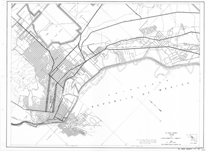

Print $20.00
General Highway Map, El Paso County, Texas
1961
Size 18.1 x 24.7 inches
Map/Doc 79457
You may also like
Map of the City of Aransas Pass


Print $20.00
- Digital $50.00
Map of the City of Aransas Pass
1905
Size 28.3 x 21.4 inches
Map/Doc 97266
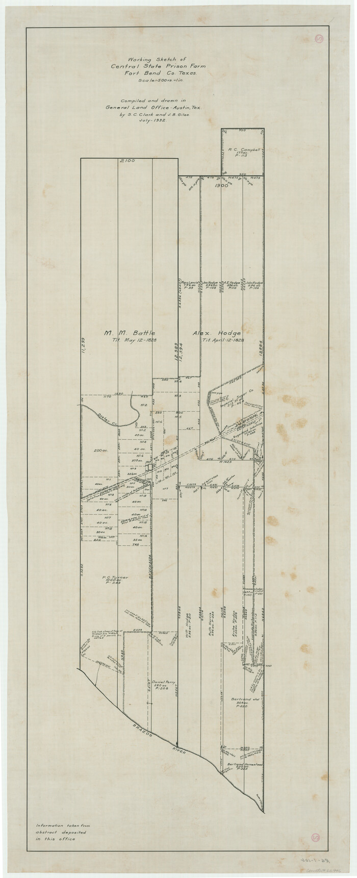
Working Sketch of Central State Prison Farm, Fort Bend Co., Texas

Print $20.00
- Digital $50.00
Working Sketch of Central State Prison Farm, Fort Bend Co., Texas
Size 38.9 x 16.0 inches
Map/Doc 62996
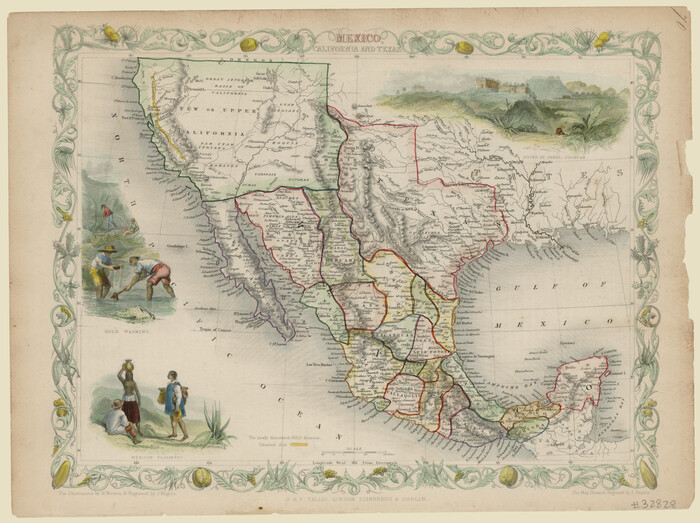
Mexico, California and Texas

Print $20.00
- Digital $50.00
Mexico, California and Texas
1851
Size 11.1 x 14.9 inches
Map/Doc 93779
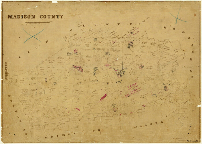
Madison County

Print $20.00
- Digital $50.00
Madison County
1871
Size 14.0 x 19.6 inches
Map/Doc 3833
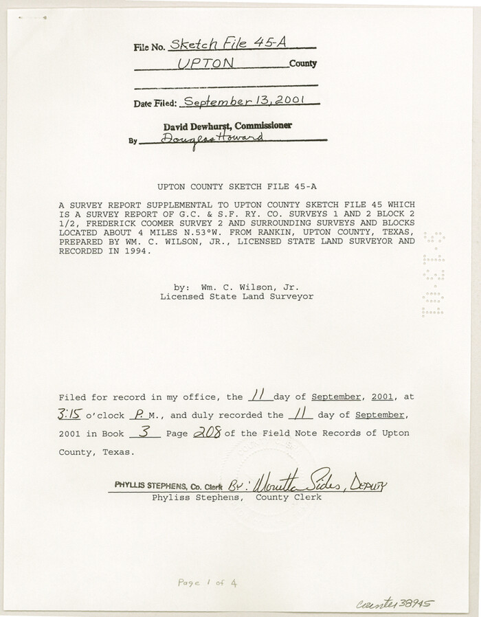
Upton County Sketch File 45A

Print $8.00
- Digital $50.00
Upton County Sketch File 45A
2001
Size 11.3 x 8.8 inches
Map/Doc 38945
Anderson County Boundary File 9
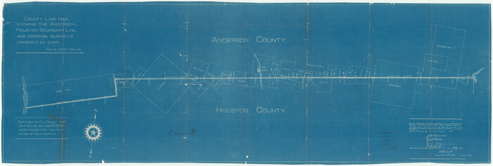

Print $40.00
- Digital $50.00
Anderson County Boundary File 9
Size 19.7 x 58.3 inches
Map/Doc 49758
Edwards County Sketch File 24


Print $6.00
- Digital $50.00
Edwards County Sketch File 24
Size 8.9 x 13.2 inches
Map/Doc 21751
Nueces County Sketch File 16
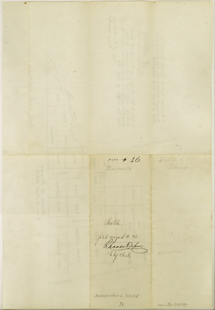

Print $6.00
- Digital $50.00
Nueces County Sketch File 16
1875
Size 15.5 x 10.7 inches
Map/Doc 32547
Map of Coleman County, Texas


Print $40.00
- Digital $50.00
Map of Coleman County, Texas
Size 41.6 x 62.6 inches
Map/Doc 89871
General Highway Map, Bexar County, Texas
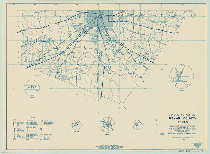

Print $20.00
General Highway Map, Bexar County, Texas
1940
Size 18.4 x 25.1 inches
Map/Doc 79016
Webb County Rolled Sketch 32
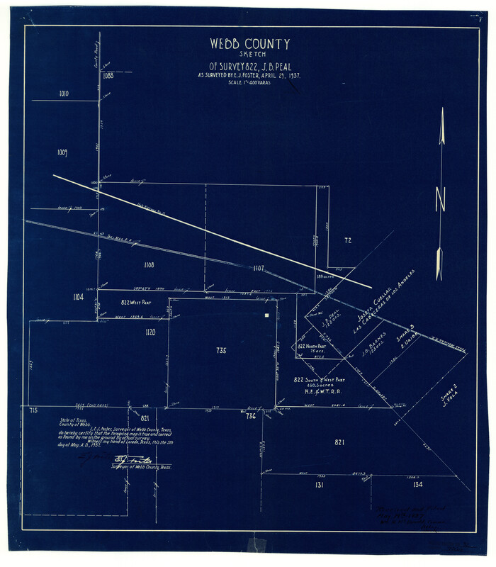

Print $20.00
- Digital $50.00
Webb County Rolled Sketch 32
1937
Size 24.9 x 21.8 inches
Map/Doc 8188
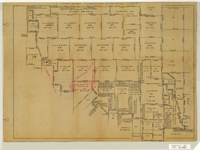
El Paso County Sketch File 27

Print $20.00
- Digital $50.00
El Paso County Sketch File 27
Size 18.3 x 24.5 inches
Map/Doc 11458
![79440, General Highway Map, Detail of Cities and Towns in Delta County, Hopkins County [Cooper and vicinity], Texas State Library and Archives](https://historictexasmaps.com/wmedia_w1800h1800/maps/79440.tif.jpg)
