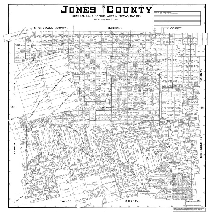
General Highway Map. Detail of Cities and Towns in Travis County, Texas [Austin]
-
Map/Doc
79262
-
Collection
Texas State Library and Archives
-
Object Dates
1940 (Creation Date)
-
People and Organizations
Texas State Highway Department (Publisher)
-
Counties
Travis
-
Subjects
City County
-
Height x Width
18.2 x 25.0 inches
46.2 x 63.5 cm
-
Comments
Prints available courtesy of the Texas State Library and Archives.
More info can be found here: TSLAC Map 05009
Part of: Texas State Library and Archives
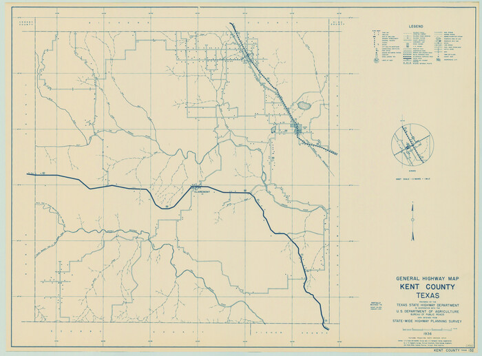
General Highway Map, Kent County, Texas

Print $20.00
General Highway Map, Kent County, Texas
1940
Size 18.4 x 24.9 inches
Map/Doc 79156
General Highway Map. Detail of Cities and Towns in Waller County, Texas [Hempstead and vicinity]
![79701, General Highway Map. Detail of Cities and Towns in Waller County, Texas [Hempstead and vicinity], Texas State Library and Archives](https://historictexasmaps.com/wmedia_w700/maps/79701.tif.jpg)
![79701, General Highway Map. Detail of Cities and Towns in Waller County, Texas [Hempstead and vicinity], Texas State Library and Archives](https://historictexasmaps.com/wmedia_w700/maps/79701.tif.jpg)
Print $20.00
General Highway Map. Detail of Cities and Towns in Waller County, Texas [Hempstead and vicinity]
1961
Size 24.8 x 18.2 inches
Map/Doc 79701
"Texas New Yorker's" Railroad Map of Texas


Print $20.00
"Texas New Yorker's" Railroad Map of Texas
1874
Size 22.8 x 32.3 inches
Map/Doc 76210
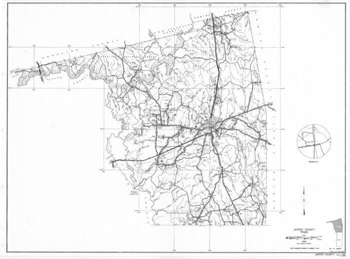
General Highway Map, Jasper County, Texas

Print $20.00
General Highway Map, Jasper County, Texas
1961
Size 18.3 x 24.7 inches
Map/Doc 79535
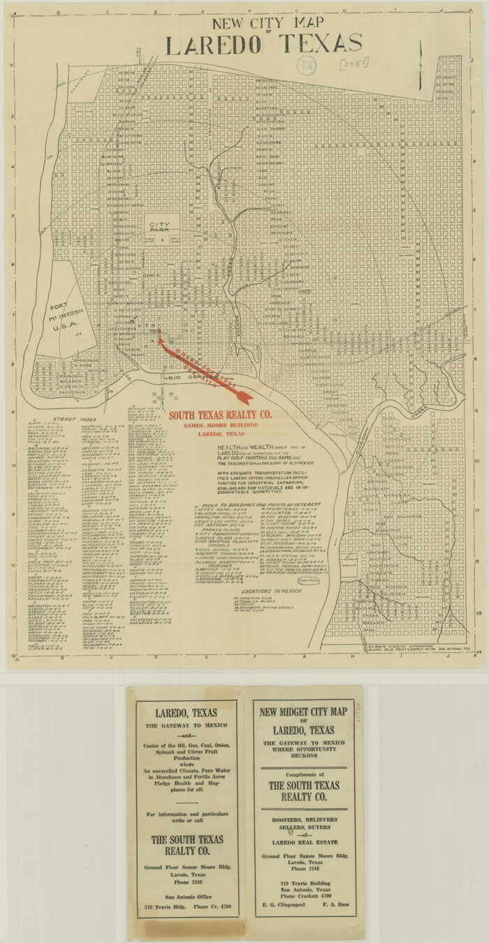
New City Map of Laredo, Texas

Print $20.00
New City Map of Laredo, Texas
1930
Size 21.7 x 11.3 inches
Map/Doc 76277
General Highway Map, Limestone County, Texas


Print $20.00
General Highway Map, Limestone County, Texas
1961
Size 18.1 x 24.8 inches
Map/Doc 79572
General Highway Map, Foard County, Texas


Print $20.00
General Highway Map, Foard County, Texas
1940
Size 18.6 x 25.2 inches
Map/Doc 79092
Topographic Map of Texas and Oklahoma Boundary, Fort Augur Area


Print $20.00
Topographic Map of Texas and Oklahoma Boundary, Fort Augur Area
1924
Size 32.3 x 33.8 inches
Map/Doc 79755
General Highway Map, Austin County, Texas


Print $20.00
General Highway Map, Austin County, Texas
1961
Size 18.1 x 25.1 inches
Map/Doc 79357
Town of Lubbock, Texas and Additions


Print $20.00
Town of Lubbock, Texas and Additions
1935
Size 43.8 x 43.5 inches
Map/Doc 76271
General Highway Map, Van Zandt County, Texas
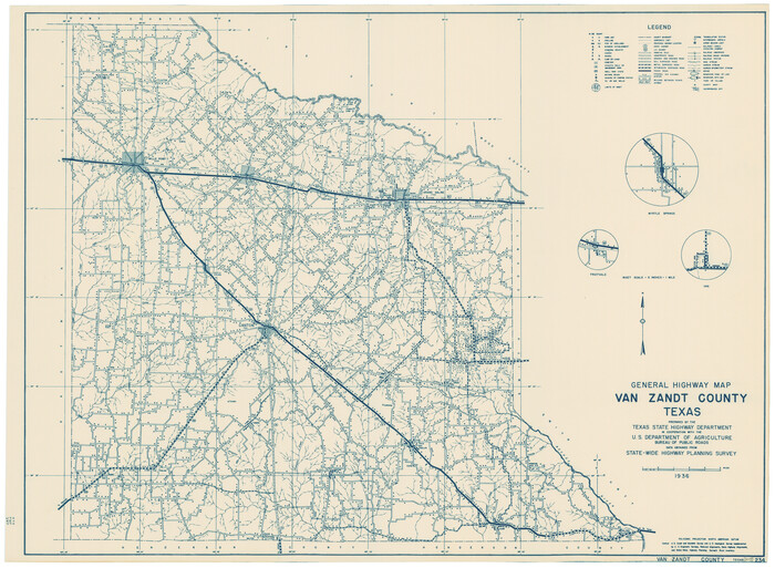

Print $20.00
General Highway Map, Van Zandt County, Texas
1936
Size 18.2 x 25.1 inches
Map/Doc 79267
General Highway Map, Crosby County, Texas
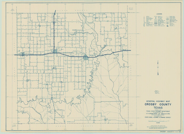

Print $20.00
General Highway Map, Crosby County, Texas
1940
Size 18.3 x 25.1 inches
Map/Doc 79063
You may also like
Duval County Sketch File 77


Print $20.00
- Digital $50.00
Duval County Sketch File 77
1967
Size 20.4 x 15.5 inches
Map/Doc 11411
Baylor County Boundary File 5


Print $56.00
- Digital $50.00
Baylor County Boundary File 5
Size 8.1 x 62.3 inches
Map/Doc 50392
Culberson County Sketch File 25


Print $6.00
- Digital $50.00
Culberson County Sketch File 25
Size 11.2 x 8.8 inches
Map/Doc 20259
El Paso County Sketch File 1a
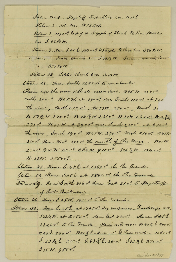

Print $4.00
- Digital $50.00
El Paso County Sketch File 1a
Size 12.1 x 8.2 inches
Map/Doc 21907
Red River County Sketch File 9
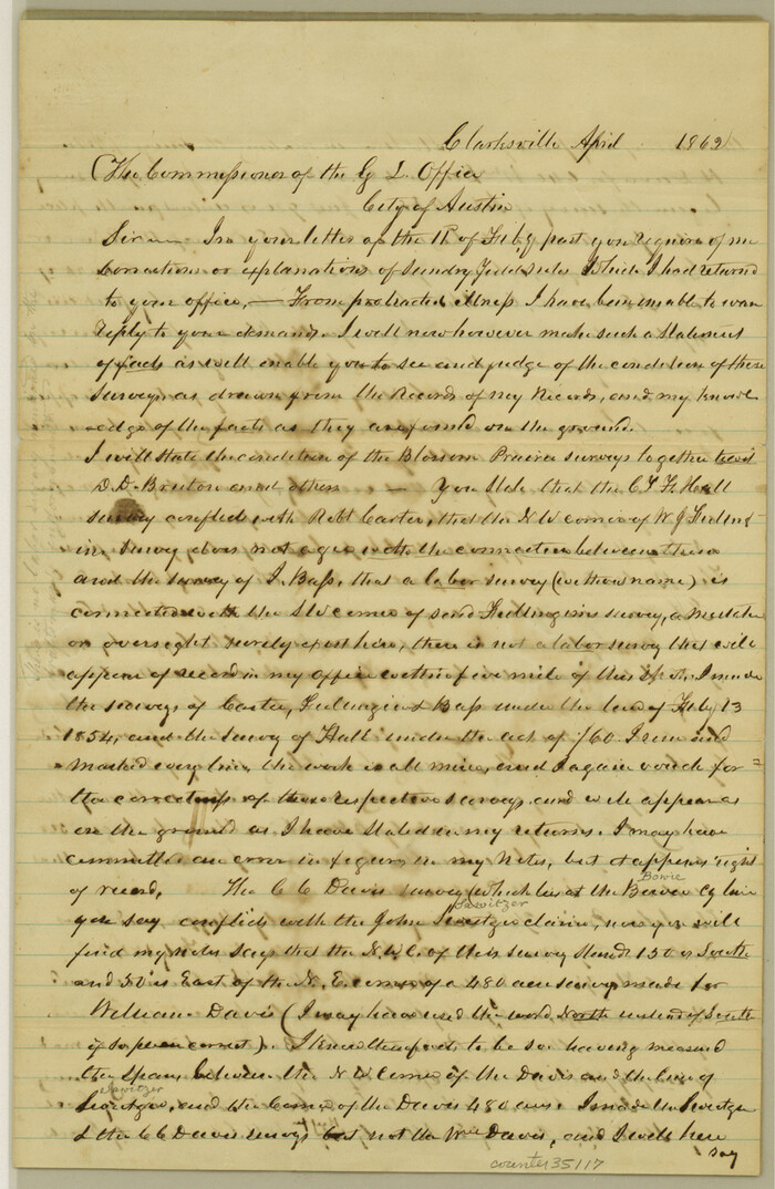

Print $10.00
- Digital $50.00
Red River County Sketch File 9
1862
Size 12.6 x 8.2 inches
Map/Doc 35117
Bandera County Sketch File 21


Print $4.00
- Digital $50.00
Bandera County Sketch File 21
Size 12.7 x 8.1 inches
Map/Doc 14010
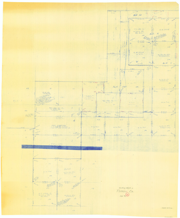
Terrell County Working Sketch 56

Print $20.00
- Digital $50.00
Terrell County Working Sketch 56
Size 44.0 x 36.4 inches
Map/Doc 69577
Brewster Co[unty]
![16947, Brewster Co[unty], General Map Collection](https://historictexasmaps.com/wmedia_w700/maps/16947.tif.jpg)
![16947, Brewster Co[unty], General Map Collection](https://historictexasmaps.com/wmedia_w700/maps/16947.tif.jpg)
Print $40.00
- Digital $50.00
Brewster Co[unty]
1904
Size 63.5 x 48.0 inches
Map/Doc 16947
Cherokee County Sketch File 3


Print $4.00
- Digital $50.00
Cherokee County Sketch File 3
1849
Size 7.5 x 11.0 inches
Map/Doc 18115
[Maps of surveys in Reeves & Culberson Cos]
![61148, [Maps of surveys in Reeves & Culberson Cos], General Map Collection](https://historictexasmaps.com/wmedia_w700/maps/61148.tif.jpg)
![61148, [Maps of surveys in Reeves & Culberson Cos], General Map Collection](https://historictexasmaps.com/wmedia_w700/maps/61148.tif.jpg)
Print $20.00
- Digital $50.00
[Maps of surveys in Reeves & Culberson Cos]
1937
Size 30.7 x 24.9 inches
Map/Doc 61148
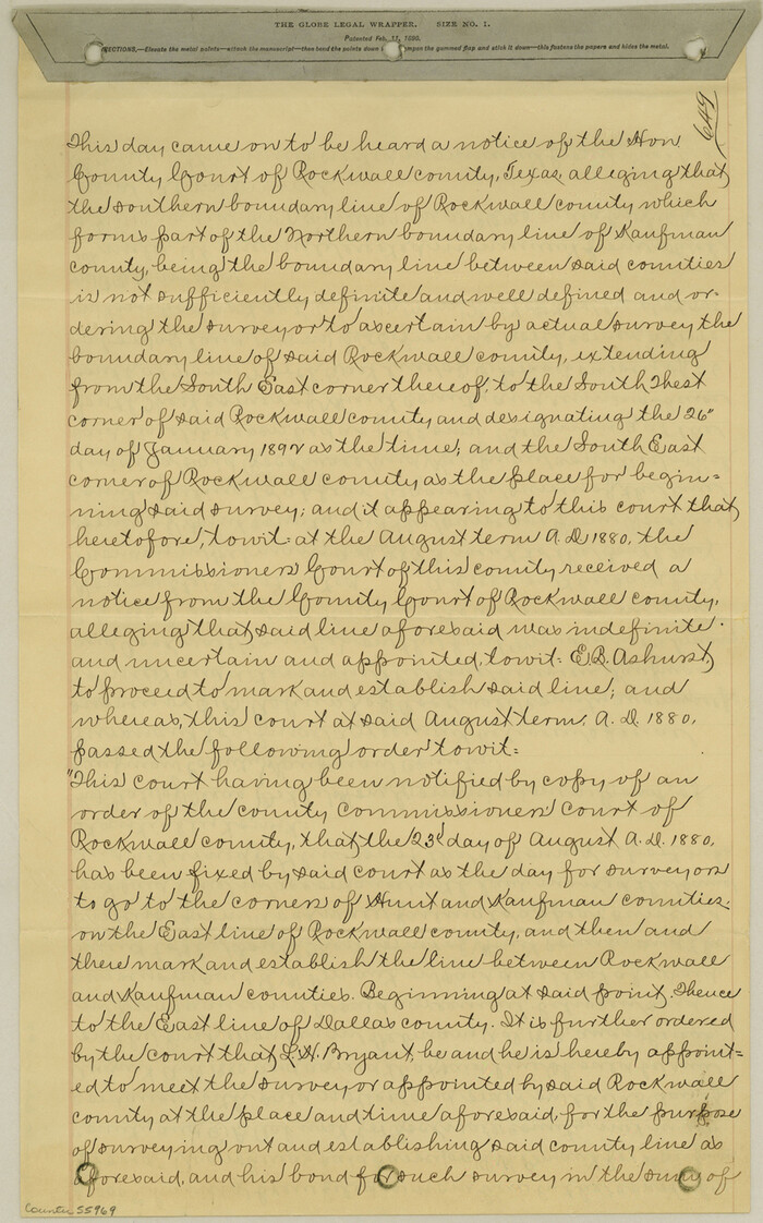
Kaufman County Boundary File 7

Print $16.00
- Digital $50.00
Kaufman County Boundary File 7
Size 13.9 x 8.7 inches
Map/Doc 55969
![79262, General Highway Map. Detail of Cities and Towns in Travis County, Texas [Austin], Texas State Library and Archives](https://historictexasmaps.com/wmedia_w1800h1800/maps/79262-1.tif.jpg)
