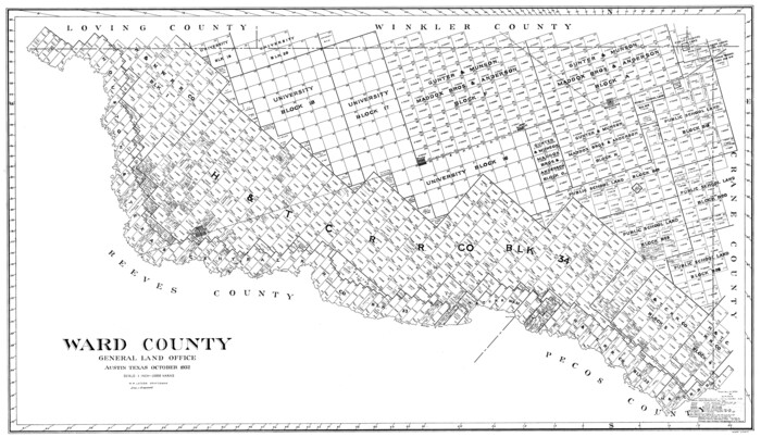
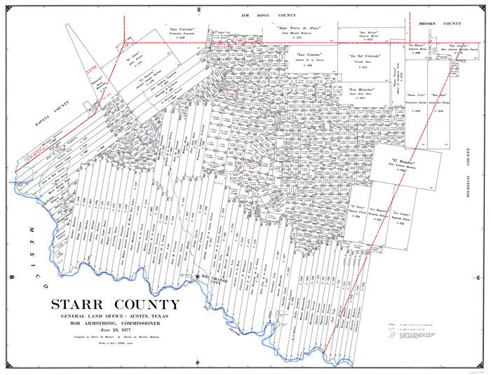
University Land Field Notes for Blocks 27 and 28 in Pecos County
University Field Notes
Pecos County University Lands Book U.T., Vol. 16, Blocks 27 and 28
-
Map/Doc
81723
-
Collection
General Map Collection
-
People and Organizations
Bascom Giles (GLO Commissioner)
Frank F. Friend (Surveyor/Engineer)
-
Counties
Pecos
-
Subjects
Bound Volume University Land
-
Medium
paper, bound volume
-
Comments
Also includes "Report of a resurvey, University Lands Blocks 27 & 28, Pecos County" by Frank F. Friend.
See 97177 for an index to the University Land field note volumes.
Related maps
University Land Field Note Volume Index


University Land Field Note Volume Index
2023
Size 8.5 x 11.0 inches
Map/Doc 97177
Part of: General Map Collection
Hall County Sketch File 33


Print $16.00
- Digital $50.00
Hall County Sketch File 33
1912
Size 11.4 x 8.7 inches
Map/Doc 24874
Gonzales County


Print $40.00
- Digital $50.00
Gonzales County
1920
Size 40.3 x 51.8 inches
Map/Doc 4959
Flight Mission No. DQN-2K, Frame 161, Calhoun County
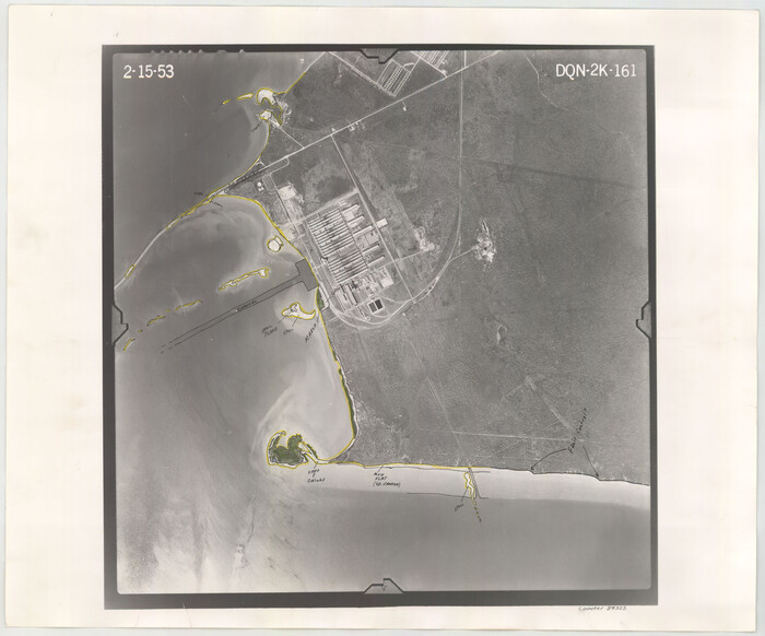

Print $20.00
- Digital $50.00
Flight Mission No. DQN-2K, Frame 161, Calhoun County
1953
Size 18.5 x 22.3 inches
Map/Doc 84323
Donley County Working Sketch 10


Print $20.00
- Digital $50.00
Donley County Working Sketch 10
1982
Size 35.1 x 41.1 inches
Map/Doc 68743
Atascosa County Rolled Sketch R


Print $20.00
- Digital $50.00
Atascosa County Rolled Sketch R
Size 19.6 x 19.6 inches
Map/Doc 5103
Orange County Rolled Sketch 23


Print $20.00
- Digital $50.00
Orange County Rolled Sketch 23
1950
Size 29.0 x 35.3 inches
Map/Doc 7185
Travis County Appraisal District Plat Map 2_0219
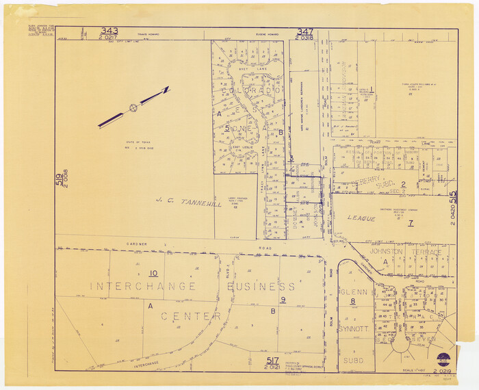

Print $20.00
- Digital $50.00
Travis County Appraisal District Plat Map 2_0219
Size 21.6 x 26.5 inches
Map/Doc 94209
Grayson County Sketch File 3a


Print $20.00
- Digital $50.00
Grayson County Sketch File 3a
1855
Size 19.6 x 25.5 inches
Map/Doc 11580
Grayson County Sketch File 25


Print $6.00
- Digital $50.00
Grayson County Sketch File 25
Size 8.4 x 7.1 inches
Map/Doc 24507
Flight Mission No. CRE-1R, Frame 123, Jackson County
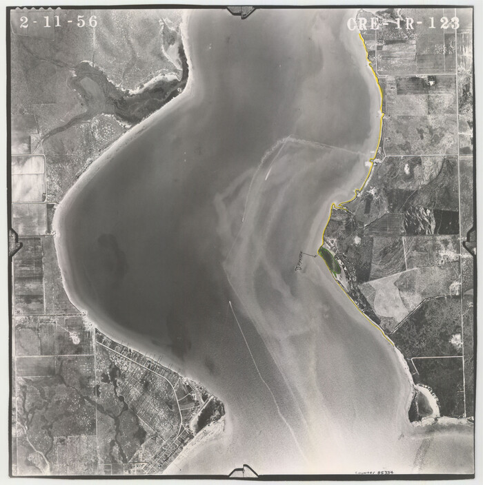

Print $20.00
- Digital $50.00
Flight Mission No. CRE-1R, Frame 123, Jackson County
1956
Size 16.0 x 16.0 inches
Map/Doc 85334
Donley County


Print $20.00
- Digital $50.00
Donley County
1944
Size 43.6 x 37.7 inches
Map/Doc 77266
You may also like
Van Zandt County Boundary File 1
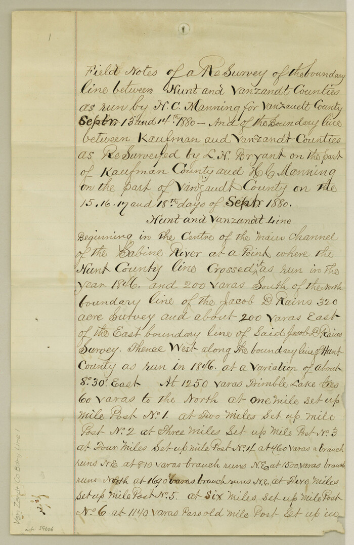

Print $32.00
- Digital $50.00
Van Zandt County Boundary File 1
Size 13.0 x 8.5 inches
Map/Doc 59626
Ochiltree County Boundary File 3
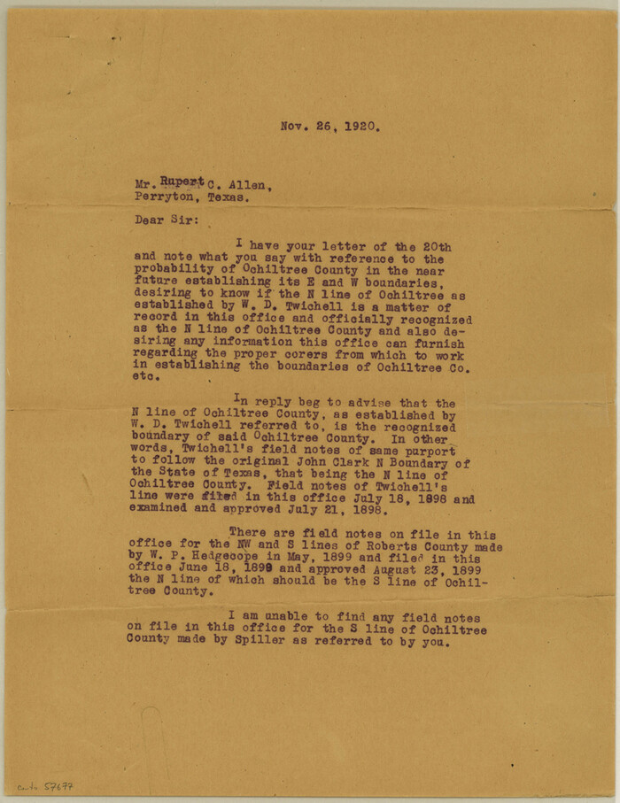

Print $10.00
- Digital $50.00
Ochiltree County Boundary File 3
Size 11.2 x 8.6 inches
Map/Doc 57677
Revised Sectional Map Number 2, Lands in Texas and Pacific Railway Reservation From Westbrook Station in Mitchell County to Metz Station in Ector County


Print $20.00
- Digital $50.00
Revised Sectional Map Number 2, Lands in Texas and Pacific Railway Reservation From Westbrook Station in Mitchell County to Metz Station in Ector County
Size 25.1 x 19.6 inches
Map/Doc 91366
[Old Coastal Chart showing Brazo Chico, Brazo de Santiago and Rio Bravo del Norte passes with depth readings]
![4661, [Old Coastal Chart showing Brazo Chico, Brazo de Santiago and Rio Bravo del Norte passes with depth readings], General Map Collection](https://historictexasmaps.com/wmedia_w700/maps/4661-1.tif.jpg)
![4661, [Old Coastal Chart showing Brazo Chico, Brazo de Santiago and Rio Bravo del Norte passes with depth readings], General Map Collection](https://historictexasmaps.com/wmedia_w700/maps/4661-1.tif.jpg)
Print $20.00
- Digital $50.00
[Old Coastal Chart showing Brazo Chico, Brazo de Santiago and Rio Bravo del Norte passes with depth readings]
1837
Size 25.7 x 39.3 inches
Map/Doc 4661
Val Verde County Sketch File 56


Print $2.00
- Digital $50.00
Val Verde County Sketch File 56
2006
Size 8.5 x 11.0 inches
Map/Doc 89016
Archer County Sketch File 30
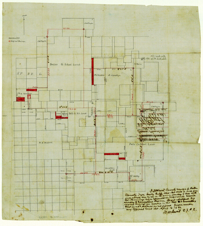

Print $40.00
- Digital $50.00
Archer County Sketch File 30
1896
Size 20.6 x 18.5 inches
Map/Doc 10838
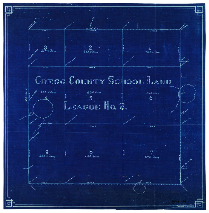
Gregg County School Land League 2

Print $2.00
- Digital $50.00
Gregg County School Land League 2
Size 9.0 x 9.3 inches
Map/Doc 90541
The Land of Open Sky - Southwest U.S.A.


The Land of Open Sky - Southwest U.S.A.
Size 20.2 x 15.6 inches
Map/Doc 95945
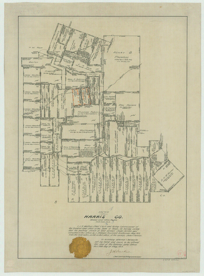
Harris County Working Sketch 11

Print $20.00
- Digital $50.00
Harris County Working Sketch 11
1913
Size 30.4 x 22.5 inches
Map/Doc 65903
Armstrong County Sketch File A-5


Print $40.00
- Digital $50.00
Armstrong County Sketch File A-5
1918
Size 18.0 x 28.2 inches
Map/Doc 10846
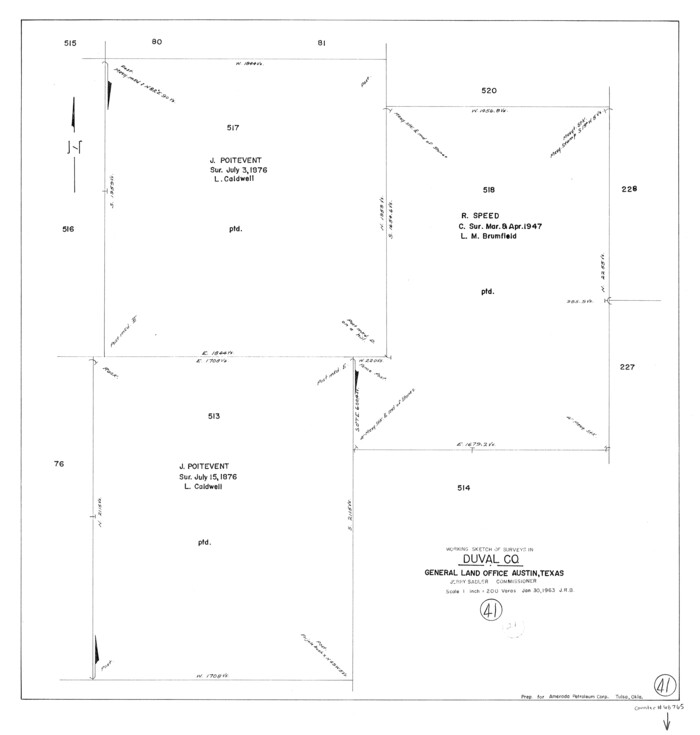
Duval County Working Sketch 41

Print $20.00
- Digital $50.00
Duval County Working Sketch 41
1963
Size 24.1 x 22.9 inches
Map/Doc 68765

