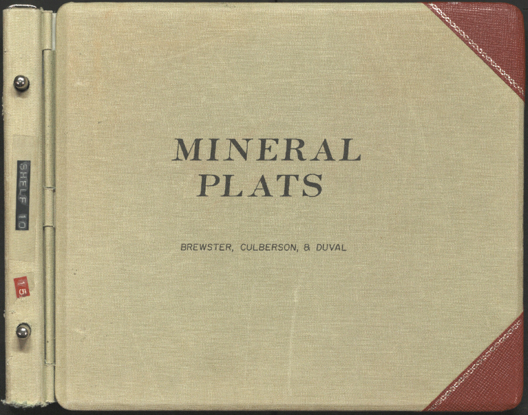
Mineral Plats - Brewster, Culberson and Duval
-
Map/Doc
81745
-
Collection
General Map Collection
-
People and Organizations
Texas General Land Office (Creator)
-
Subjects
Bound Volume
-
Scale
1" = 300 varas
-
Comments
Shows mineral plats within survey sections, including dimesions, claimant, and corresponding mineral file numbers.
Includes handwritten notes indicating forfeitures, patent status, etc.
See also 81746
Related maps
Mineral Plats - El Paso to Ward Co. and River Beds

Mineral Plats - El Paso to Ward Co. and River Beds
Map/Doc 81746
Part of: General Map Collection
Fannin County Working Sketch 2

Print $3.00
- Digital $50.00
Fannin County Working Sketch 2
1911
Size 14.9 x 10.3 inches
Map/Doc 69156
Crockett County Rolled Sketch 46C

Print $20.00
- Digital $50.00
Crockett County Rolled Sketch 46C
Size 24.5 x 23.8 inches
Map/Doc 5595
No. 3 Chart of Channel connecting Corpus Christi Bay with Aransas Bay, Texas

Print $20.00
- Digital $50.00
No. 3 Chart of Channel connecting Corpus Christi Bay with Aransas Bay, Texas
1878
Size 27.8 x 18.2 inches
Map/Doc 72778
Kerr County Rolled Sketch 24

Print $20.00
- Digital $50.00
Kerr County Rolled Sketch 24
Size 25.1 x 31.4 inches
Map/Doc 6504
Motley County Sketch File 33 (S)

Print $6.00
- Digital $50.00
Motley County Sketch File 33 (S)
1914
Size 7.4 x 8.5 inches
Map/Doc 32217
Garza County Sketch File J

Print $20.00
- Digital $50.00
Garza County Sketch File J
1911
Size 26.5 x 7.5 inches
Map/Doc 11555
Harris County Historic Topographic 35

Print $20.00
- Digital $50.00
Harris County Historic Topographic 35
1915
Size 19.6 x 23.6 inches
Map/Doc 65846
Coke County Rolled Sketch 25

Print $20.00
- Digital $50.00
Coke County Rolled Sketch 25
1974
Size 24.9 x 24.3 inches
Map/Doc 5525
Gregg County Working Sketch 10

Print $20.00
- Digital $50.00
Gregg County Working Sketch 10
1939
Size 34.1 x 26.4 inches
Map/Doc 63276
[Map Showing Parmer, Castro, Bailey, Lamb, Cochran & Hockley Counties, Texas]
![1762, [Map Showing Parmer, Castro, Bailey, Lamb, Cochran & Hockley Counties, Texas], General Map Collection](https://historictexasmaps.com/wmedia_w700/maps/1762.tif.jpg)
Print $40.00
- Digital $50.00
[Map Showing Parmer, Castro, Bailey, Lamb, Cochran & Hockley Counties, Texas]
1910
Size 55.3 x 40.1 inches
Map/Doc 1762
Kinney County Sketch File 25

Print $20.00
- Digital $50.00
Kinney County Sketch File 25
1927
Size 19.1 x 18.9 inches
Map/Doc 11944
Oldham County Working Sketch 7

Print $20.00
- Digital $50.00
Oldham County Working Sketch 7
1982
Size 33.4 x 35.6 inches
Map/Doc 71329
You may also like
Flight Mission No. DQO-8K, Frame 9, Galveston County

Print $20.00
- Digital $50.00
Flight Mission No. DQO-8K, Frame 9, Galveston County
1952
Size 18.7 x 22.5 inches
Map/Doc 85132
Edwards County Working Sketch 57

Print $20.00
- Digital $50.00
Edwards County Working Sketch 57
1952
Size 22.7 x 32.3 inches
Map/Doc 68933
Stephens County Working Sketch 11

Print $20.00
- Digital $50.00
Stephens County Working Sketch 11
1921
Size 21.0 x 16.5 inches
Map/Doc 63954
Archer County Sketch File 26

Print $4.00
- Digital $50.00
Archer County Sketch File 26
1934
Size 9.7 x 4.4 inches
Map/Doc 13663
Starr County Rolled Sketch 35

Print $20.00
- Digital $50.00
Starr County Rolled Sketch 35
1925
Size 40.1 x 12.8 inches
Map/Doc 7832
Scurry County

Print $20.00
- Digital $50.00
Scurry County
1921
Size 41.4 x 38.1 inches
Map/Doc 73286
Tyler County Sketch File 7a

Print $7.00
- Digital $50.00
Tyler County Sketch File 7a
1874
Size 10.3 x 8.1 inches
Map/Doc 38639
Map of Texas and the countries adjacent compiled in the Bureau of the Corps of Topographical Engineers from the best authorities for the State Department

Print $20.00
- Digital $50.00
Map of Texas and the countries adjacent compiled in the Bureau of the Corps of Topographical Engineers from the best authorities for the State Department
1844
Size 25.9 x 18.2 inches
Map/Doc 72714
Jack County Sketch File 30

Print $20.00
- Digital $50.00
Jack County Sketch File 30
Size 24.9 x 34.7 inches
Map/Doc 11829
Bastrop County Rolled Sketch 1A

Print $20.00
- Digital $50.00
Bastrop County Rolled Sketch 1A
Size 37.0 x 24.5 inches
Map/Doc 5122
Texas City Channel, Texas, Channel and Turning Basin Dredging - Sheet 4

Print $20.00
- Digital $50.00
Texas City Channel, Texas, Channel and Turning Basin Dredging - Sheet 4
1958
Size 28.5 x 40.9 inches
Map/Doc 61834
Erath County Sketch File 3

Print $4.00
- Digital $50.00
Erath County Sketch File 3
1853
Size 13.0 x 8.3 inches
Map/Doc 22255