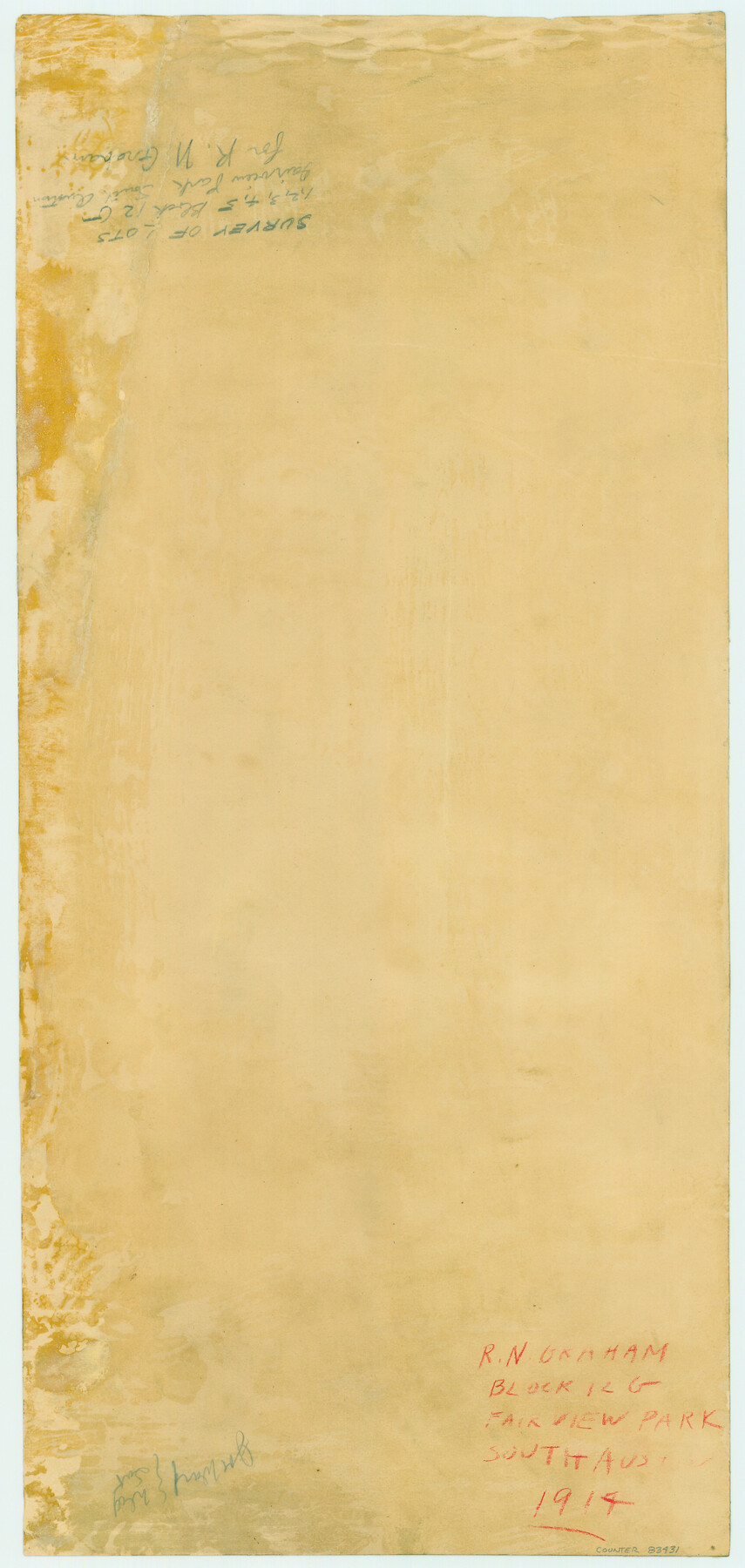
Survey of Lots 1, 2, 3, 4 and 5, Block 12G Fair View Park, Austin Texas
-
Map/Doc
83431
-
Collection
Maddox Collection
-
Object Dates
1914/11/21 (Creation Date)
-
People and Organizations
E.F. Maddox (Surveyor/Engineer)
-
Counties
Travis
-
Subjects
City
-
Height x Width
23.1 x 11.0 inches
58.7 x 27.9 cm
-
Comments
Conservation funded in 2005 by Friends of the Texas General Land Office.
Part of: Maddox Collection
Map of South Brady Ranch, Concho County, Texas

Print $3.00
- Digital $50.00
Map of South Brady Ranch, Concho County, Texas
1880
Size 12.9 x 10.5 inches
Map/Doc 424
[Unknown Building Sketch]
![75793, [Unknown Building Sketch], Maddox Collection](https://historictexasmaps.com/wmedia_w700/maps/75793.tif.jpg)
Print $20.00
- Digital $50.00
[Unknown Building Sketch]
Size 15.3 x 23.0 inches
Map/Doc 75793
Hansford County, Texas

Print $20.00
- Digital $50.00
Hansford County, Texas
1888
Size 22.5 x 17.8 inches
Map/Doc 731
[Sketch of Plans and Bill of Material for 38' x 40' Texas Highway Dept. Warehouse]
![450, [Sketch of Plans and Bill of Material for 38' x 40' Texas Highway Dept. Warehouse], Maddox Collection](https://historictexasmaps.com/wmedia_w700/maps/450.tif.jpg)
Print $20.00
- Digital $50.00
[Sketch of Plans and Bill of Material for 38' x 40' Texas Highway Dept. Warehouse]
Size 23.7 x 22.8 inches
Map/Doc 450
Sketch in NE Portion Hutchinson County

Print $20.00
- Digital $50.00
Sketch in NE Portion Hutchinson County
1913
Size 36.9 x 43.3 inches
Map/Doc 75815
Ellis County, Texas

Print $20.00
- Digital $50.00
Ellis County, Texas
1879
Size 21.2 x 29.6 inches
Map/Doc 714
Bosque County, Texas

Print $20.00
- Digital $50.00
Bosque County, Texas
1879
Size 25.1 x 29.9 inches
Map/Doc 420
Castro County, Texas

Print $20.00
- Digital $50.00
Castro County, Texas
1883
Size 20.8 x 18.7 inches
Map/Doc 682
[McK. & Williams No. 601 and surrounding surveys, Travis County]
![10782, [McK. & Williams No. 601 and surrounding surveys, Travis County], Maddox Collection](https://historictexasmaps.com/wmedia_w700/maps/10782.tif.jpg)
Print $20.00
- Digital $50.00
[McK. & Williams No. 601 and surrounding surveys, Travis County]
Size 18.3 x 12.3 inches
Map/Doc 10782
Martin County, Texas

Print $20.00
- Digital $50.00
Martin County, Texas
1870
Size 22.9 x 18.0 inches
Map/Doc 391
McMullen County, Texas

Print $20.00
- Digital $50.00
McMullen County, Texas
1889
Size 28.7 x 22.1 inches
Map/Doc 575
Map of Llano County, Texas

Print $20.00
- Digital $50.00
Map of Llano County, Texas
1879
Size 24.6 x 22.9 inches
Map/Doc 568
You may also like
McLean, Texas Section 22, Block R

Print $20.00
- Digital $50.00
McLean, Texas Section 22, Block R
Size 16.0 x 16.1 inches
Map/Doc 90721
Dimmit County Working Sketch 34

Print $20.00
- Digital $50.00
Dimmit County Working Sketch 34
1959
Size 22.8 x 17.0 inches
Map/Doc 68695
Johnson County Sketch File 15

Print $2.00
- Digital $50.00
Johnson County Sketch File 15
1881
Size 8.1 x 7.3 inches
Map/Doc 28455
Real County Working Sketch 6

Print $20.00
- Digital $50.00
Real County Working Sketch 6
1924
Size 21.2 x 9.3 inches
Map/Doc 71898
McCulloch County

Print $20.00
- Digital $50.00
McCulloch County
1949
Size 41.0 x 31.1 inches
Map/Doc 77361
Val Verde County Sketch File Z11

Print $40.00
- Digital $50.00
Val Verde County Sketch File Z11
1895
Size 17.6 x 12.7 inches
Map/Doc 39138
Stonewall County

Print $20.00
- Digital $50.00
Stonewall County
1897
Size 36.8 x 34.0 inches
Map/Doc 4057

Harris County Rolled Sketch WB

Print $20.00
- Digital $50.00
Harris County Rolled Sketch WB
1916
Size 15.5 x 21.1 inches
Map/Doc 6147
Flight Mission No. DCL-7C, Frame 140, Kenedy County

Print $20.00
- Digital $50.00
Flight Mission No. DCL-7C, Frame 140, Kenedy County
1943
Size 18.6 x 22.2 inches
Map/Doc 86097
[Working Sketch Showing Southwest Part of the County]
![91117, [Working Sketch Showing Southwest Part of the County], Twichell Survey Records](https://historictexasmaps.com/wmedia_w700/maps/91117-1.tif.jpg)
Print $2.00
- Digital $50.00
[Working Sketch Showing Southwest Part of the County]
1886
Size 14.9 x 9.0 inches
Map/Doc 91117
Flight Mission No. CUG-1P, Frame 163, Kleberg County

Print $20.00
- Digital $50.00
Flight Mission No. CUG-1P, Frame 163, Kleberg County
1956
Size 18.6 x 22.2 inches
Map/Doc 86170