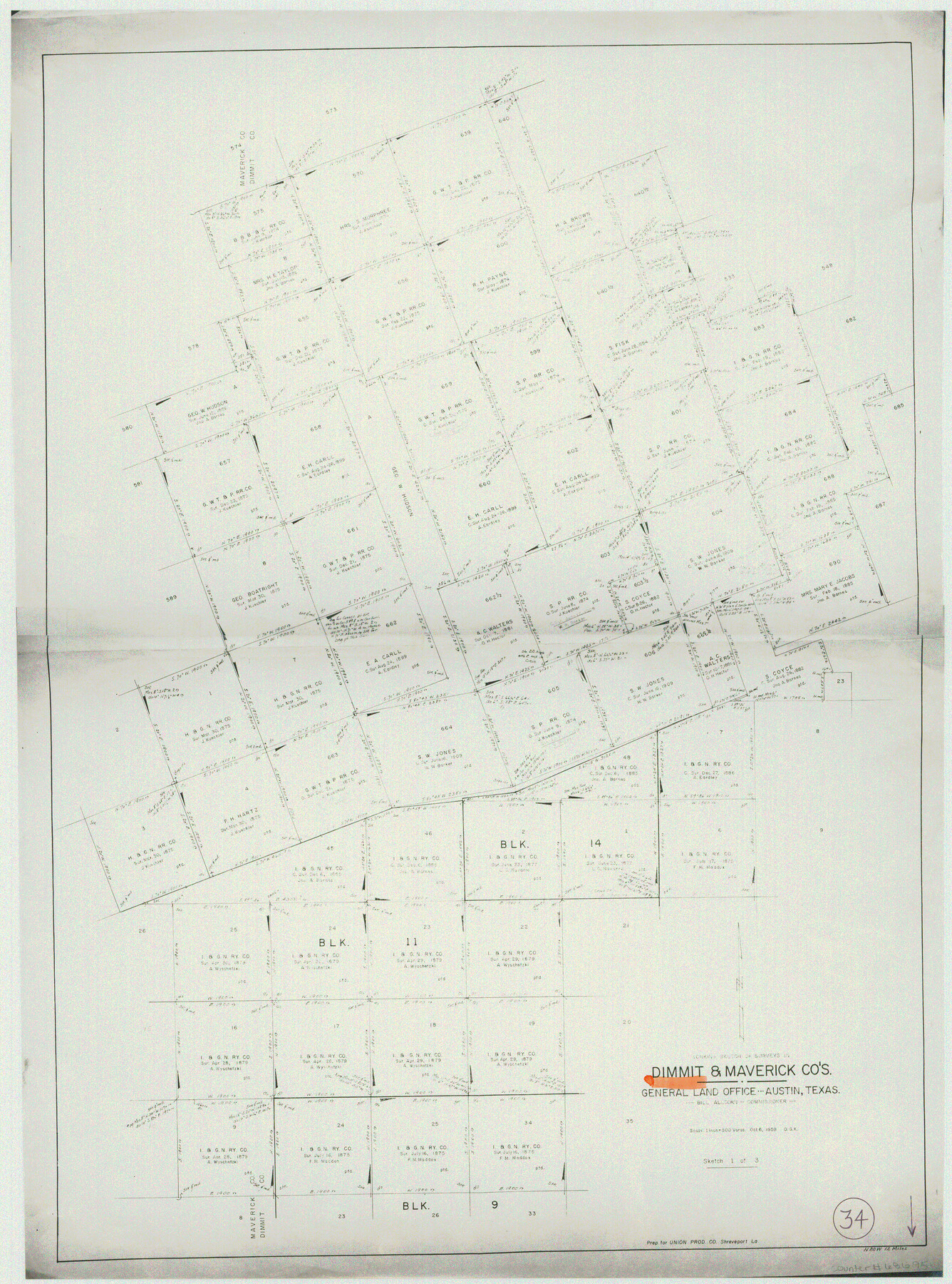
Dimmit County Working Sketch 34
- 
                          Map/Doc68695
- 
                            CollectionGeneral Map Collection
- 
                            Object Dates10/6/1959 (Creation Date)
- 
                            People and OrganizationsOtto G. Kurio (Draftsman)
- 
                            CountiesDimmit Maverick
- 
                            SubjectsSurveying Working Sketch
- 
                            Height x Width22.8 x 17.0 inches57.9 x 43.2 cm
- 
                            Scale1" = 500 varas
Part of: General Map Collection
            Texas City Channel, Texas, Channel and Turning Basin Dredging - Sheet 1


                                            Print $20.00                    
                                             -                         Digital $50.00                                    
                Texas City Channel, Texas, Channel and Turning Basin Dredging - Sheet 1
1958
Size 29.3 x 40.8 inches
                                Map/Doc 61831
            
            Cherokee County Sketch File 37


                                            Print $40.00                    
                                             -                         Digital $50.00                                    
                Cherokee County Sketch File 37
1978
Size 11.2 x 8.7 inches
                                Map/Doc 18225
            
            Shelby County Sketch File 4


                                            Print $4.00                    
                                             -                         Digital $50.00                                    
                Shelby County Sketch File 4
1852
Size 13.1 x 8.2 inches
                                Map/Doc 36597
            
            Jefferson County Aerial Photograph Index Sheet 6


                                            Print $20.00                    
                                             -                         Digital $50.00                                    
                Jefferson County Aerial Photograph Index Sheet 6
1953
Size 23.3 x 17.0 inches
                                Map/Doc 83710
            
            Rusk County Sketch File 32


                                            Print $20.00                    
                                    
                Rusk County Sketch File 32
1949
Size 33.5 x 28.4 inches
                                Map/Doc 10596
            
            Reeves County Working Sketch 38


                                            Print $20.00                    
                                             -                         Digital $50.00                                    
                Reeves County Working Sketch 38
1971
Size 36.4 x 39.0 inches
                                Map/Doc 63481
            
            Knox County Rolled Sketch 20


                                            Print $20.00                    
                                             -                         Digital $50.00                                    
                Knox County Rolled Sketch 20
Size 31.5 x 23.3 inches
                                Map/Doc 6560
            
            Flight Mission No. CRE-1R, Frame 122, Jackson County


                                            Print $20.00                    
                                             -                         Digital $50.00                                    
                Flight Mission No. CRE-1R, Frame 122, Jackson County
1956
Size 16.2 x 16.0 inches
                                Map/Doc 85333
            
            [Beaumont, Sour Lake and Western Ry. Right of Way and Alignment - Frisco]
            
                                    ![64112, [Beaumont, Sour Lake and Western Ry. Right of Way and Alignment - Frisco], General Map Collection](https://historictexasmaps.com/wmedia_w700/maps/64112.tif.jpg) 


    ![64112, [Beaumont, Sour Lake and Western Ry. Right of Way and Alignment - Frisco], General Map Collection](https://historictexasmaps.com/wmedia_w700/maps/64112.tif.jpg) 
                                
            
                                            Print $20.00                    
                                             -                         Digital $50.00                                    
                [Beaumont, Sour Lake and Western Ry. Right of Way and Alignment - Frisco]
1910
Size 20.3 x 46.0 inches
                                Map/Doc 64112
            
            Brown County Sketch File 12b


                                            Print $4.00                    
                                             -                         Digital $50.00                                    
                Brown County Sketch File 12b
1870
Size 13.8 x 8.2 inches
                                Map/Doc 16608
            
            Tom Green County Rolled Sketch 14


                                            Print $20.00                    
                                             -                         Digital $50.00                                    
                Tom Green County Rolled Sketch 14
1953
Size 28.3 x 30.9 inches
                                Map/Doc 7999
            
            Midland County Boundary File 5


                                            Print $6.00                    
                                             -                         Digital $50.00                                    
                Midland County Boundary File 5
Size 9.6 x 6.0 inches
                                Map/Doc 57195
            You may also like
            Leon County Sketch File 30


                                            Print $6.00                    
                                             -                         Digital $50.00                                    
                Leon County Sketch File 30
1951
Size 11.2 x 8.7 inches
                                Map/Doc 29829
            
            Map of Polk County


                                            Print $20.00                    
                                             -                         Digital $50.00                                    
                Map of Polk County
1879
Size 27.1 x 20.8 inches
                                Map/Doc 3959
            
            [Right of Way & Track Map, The Texas & Pacific Ry. Co. Main Line]
            
                                    ![64662, [Right of Way & Track Map, The Texas & Pacific Ry. Co. Main Line], General Map Collection](https://historictexasmaps.com/wmedia_w700/maps/64662.tif.jpg) 


    ![64662, [Right of Way & Track Map, The Texas & Pacific Ry. Co. Main Line], General Map Collection](https://historictexasmaps.com/wmedia_w700/maps/64662.tif.jpg) 
                                
            
                                            Print $20.00                    
                                             -                         Digital $50.00                                    
                [Right of Way & Track Map, The Texas & Pacific Ry. Co. Main Line]
Size 11.0 x 18.5 inches
                                Map/Doc 64662
            
            Houston & Great Northern R.R. from Troupe in Smith Co. the point of junction with International R.R. to Mineola in Wood Co. the point of junction with T. & P. R.R.


                                            Print $22.00                    
                                             -                         Digital $50.00                                    
                Houston & Great Northern R.R. from Troupe in Smith Co. the point of junction with International R.R. to Mineola in Wood Co. the point of junction with T. & P. R.R.
1873
Size 21.2 x 8.6 inches
                                Map/Doc 64301
            
            Young County Working Sketch 23


                                            Print $20.00                    
                                             -                         Digital $50.00                                    
                Young County Working Sketch 23
1965
Size 31.3 x 22.3 inches
                                Map/Doc 62046
            
            Upshur County Sketch File 21


                                            Print $78.00                    
                                             -                         Digital $50.00                                    
                Upshur County Sketch File 21
2000
Size 36.6 x 24.9 inches
                                Map/Doc 12508
            
            Maps of Gulf Intracoastal Waterway, Texas - Sabine River to the Rio Grande and connecting waterways including ship channels


                                            Print $20.00                    
                                             -                         Digital $50.00                                    
                Maps of Gulf Intracoastal Waterway, Texas - Sabine River to the Rio Grande and connecting waterways including ship channels
1966
Size 14.6 x 20.5 inches
                                Map/Doc 61991
            
            Garza County Working Sketch Graphic Index


                                            Print $20.00                    
                                             -                         Digital $50.00                                    
                Garza County Working Sketch Graphic Index
1928
Size 46.7 x 36.2 inches
                                Map/Doc 76552
            
            G No. 2 - Reconnaissance of Channel No. IV Cedar-Keys, Florida


                                            Print $20.00                    
                                             -                         Digital $50.00                                    
                G No. 2 - Reconnaissance of Channel No. IV Cedar-Keys, Florida
1852
Size 10.8 x 12.6 inches
                                Map/Doc 97220
            
            Moore County Working Sketch 14


                                            Print $20.00                    
                                             -                         Digital $50.00                                    
                Moore County Working Sketch 14
1972
Size 32.7 x 19.8 inches
                                Map/Doc 71196
            
            San Augustine County Sketch File 21


                                            Print $4.00                    
                                             -                         Digital $50.00                                    
                San Augustine County Sketch File 21
1873
Size 12.8 x 7.9 inches
                                Map/Doc 35685
             
                        