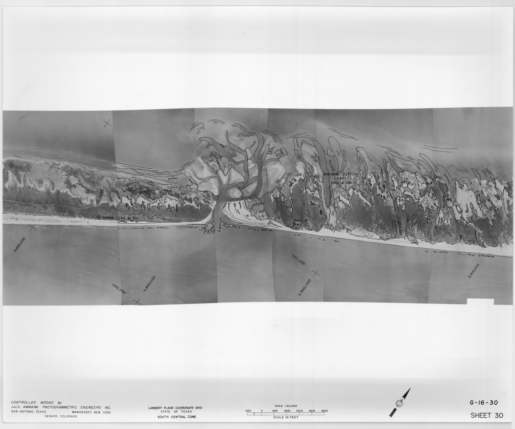
Controlled Mosaic by Jack Amman Photogrammetric Engineers, Inc - Sheet 30
[Coastal Aerial Photograph]
G-16-30
-
Map/Doc
83483
-
Collection
General Map Collection
-
Object Dates
1954 (Creation Date)
-
Subjects
Aerial Photograph
-
Height x Width
20.0 x 24.0 inches
50.8 x 61.0 cm
-
Comments
Statement on reverse side: "The reverse reflects the data shown thereon which was obtained by aerial survey made from December 31, 1953 to March 17, 1954 by Jack Ammann Photogrammetric Engineers, Inc."
Part of: General Map Collection
Kerr County Working Sketch 19

Print $20.00
- Digital $50.00
Kerr County Working Sketch 19
1959
Size 34.5 x 41.3 inches
Map/Doc 70050
Travis County Working Sketch 5

Print $20.00
- Digital $50.00
Travis County Working Sketch 5
1910
Size 28.3 x 20.7 inches
Map/Doc 69389
Harrison County Sketch File 4

Print $4.00
- Digital $50.00
Harrison County Sketch File 4
Size 9.0 x 8.0 inches
Map/Doc 26040
Flight Mission No. DQN-6K, Frame 69, Calhoun County

Print $20.00
- Digital $50.00
Flight Mission No. DQN-6K, Frame 69, Calhoun County
1953
Size 18.6 x 22.1 inches
Map/Doc 84441
Crosby County Working Sketch 18

Print $20.00
- Digital $50.00
Crosby County Working Sketch 18
1982
Size 22.7 x 31.0 inches
Map/Doc 68452
Starr County Working Sketch 22

Print $20.00
- Digital $50.00
Starr County Working Sketch 22
1983
Size 25.8 x 33.1 inches
Map/Doc 63938
Flight Mission No. CGI-1N, Frame 181, Cameron County

Print $20.00
- Digital $50.00
Flight Mission No. CGI-1N, Frame 181, Cameron County
1955
Size 18.7 x 22.2 inches
Map/Doc 84516
Lynn County Rolled Sketch 13

Print $20.00
- Digital $50.00
Lynn County Rolled Sketch 13
Size 36.2 x 24.7 inches
Map/Doc 6649
Map of Matagorda County

Print $20.00
- Digital $50.00
Map of Matagorda County
1865
Size 32.8 x 28.4 inches
Map/Doc 3843
Hutchinson County Rolled Sketch 44-4

Print $20.00
- Digital $50.00
Hutchinson County Rolled Sketch 44-4
2002
Size 24.0 x 36.0 inches
Map/Doc 77540
Calcasieu Pass to Sabine Pass

Print $20.00
- Digital $50.00
Calcasieu Pass to Sabine Pass
1972
Size 44.9 x 35.8 inches
Map/Doc 69811
Hays County Sketch File 32

Print $8.00
- Digital $50.00
Hays County Sketch File 32
Size 14.3 x 8.8 inches
Map/Doc 26264
You may also like
Brazoria County Sketch File 51

Print $380.00
- Digital $50.00
Brazoria County Sketch File 51
1926
Size 14.1 x 7.8 inches
Map/Doc 15125
The Coast & Bays of Western Texas, St. Joseph's and Mustang Islands from actual survey, the remainder from county maps, etc.

Print $20.00
- Digital $50.00
The Coast & Bays of Western Texas, St. Joseph's and Mustang Islands from actual survey, the remainder from county maps, etc.
1857
Size 28.0 x 18.3 inches
Map/Doc 72767
Roseborough Lake Sheet, Bowie County, Red River

Print $20.00
- Digital $50.00
Roseborough Lake Sheet, Bowie County, Red River
1934
Size 39.5 x 23.0 inches
Map/Doc 75273
Sketch Terrell and Val Verde Counties

Print $20.00
- Digital $50.00
Sketch Terrell and Val Verde Counties
1932
Size 41.2 x 18.2 inches
Map/Doc 92800
Pecos County Working Sketch 132

Print $40.00
- Digital $50.00
Pecos County Working Sketch 132
1979
Size 34.6 x 49.3 inches
Map/Doc 71606

Darrington Plantation of the Texas Prison System, Brazoria County

Print $20.00
- Digital $50.00
Darrington Plantation of the Texas Prison System, Brazoria County
Size 16.9 x 37.4 inches
Map/Doc 62986
Hill County Sketch File 8a

Print $4.00
- Digital $50.00
Hill County Sketch File 8a
1858
Size 10.2 x 8.1 inches
Map/Doc 26474
Flight Mission No. BRA-17M, Frame 10, Jefferson County

Print $20.00
- Digital $50.00
Flight Mission No. BRA-17M, Frame 10, Jefferson County
1953
Size 18.5 x 22.2 inches
Map/Doc 85791
Terrell County Sketch File 9

Print $12.00
- Digital $50.00
Terrell County Sketch File 9
Size 9.8 x 8.5 inches
Map/Doc 37904
Red River County Sketch File 16

Print $4.00
- Digital $50.00
Red River County Sketch File 16
1866
Size 8.7 x 7.8 inches
Map/Doc 35139
Lipscomb County Working Sketch 4

Print $40.00
- Digital $50.00
Lipscomb County Working Sketch 4
1974
Size 51.7 x 43.8 inches
Map/Doc 70580