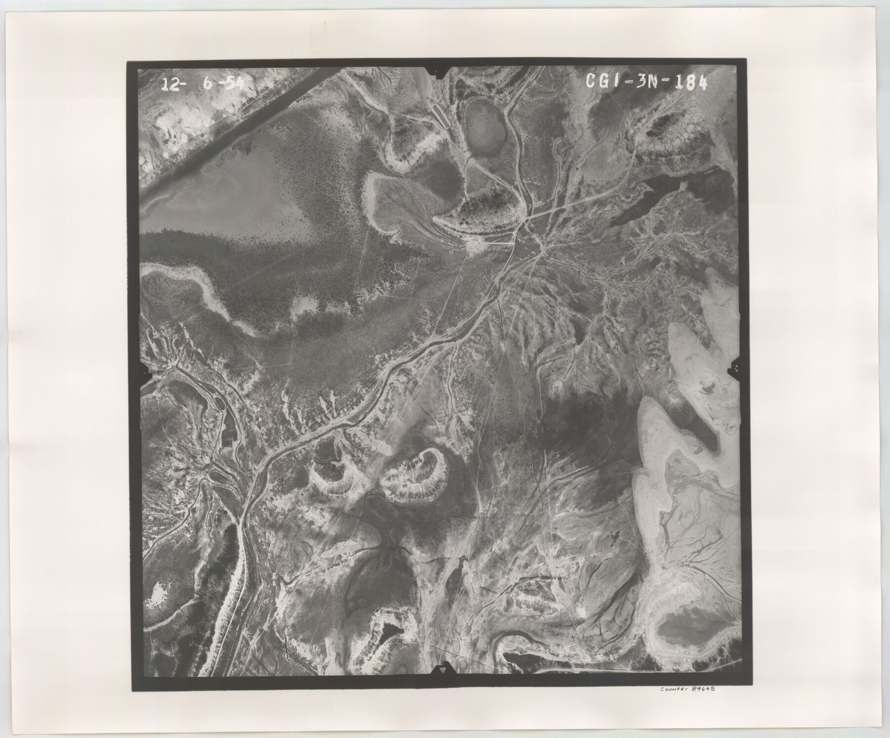
Flight Mission No. CGI-3N, Frame 184, Cameron County
CGI-3N-184
-
Map/Doc
84648
-
Collection
General Map Collection
-
Object Dates
1954/12/6 (Creation Date)
-
People and Organizations
U. S. Department of Agriculture (Publisher)
-
Counties
Cameron
-
Subjects
Aerial Photograph
-
Height x Width
18.5 x 22.3 inches
47.0 x 56.6 cm
-
Comments
Flown by Puckett Aerial Surveys, Inc. of Jackson, Mississippi.
Part of: General Map Collection
Brewster County Rolled Sketch 60

Print $20.00
- Digital $50.00
Brewster County Rolled Sketch 60
Size 24.8 x 36.5 inches
Map/Doc 61783
[Surveys in the Bexar District along the Pedernales River]
![177, [Surveys in the Bexar District along the Pedernales River], General Map Collection](https://historictexasmaps.com/wmedia_w700/maps/177.tif.jpg)
Print $20.00
- Digital $50.00
[Surveys in the Bexar District along the Pedernales River]
1845
Size 18.7 x 11.0 inches
Map/Doc 177
Mason County Sketch File 8

Print $4.00
- Digital $50.00
Mason County Sketch File 8
1876
Size 13.2 x 8.4 inches
Map/Doc 30691
Map of Mason County

Print $20.00
- Digital $50.00
Map of Mason County
1877
Size 25.3 x 19.9 inches
Map/Doc 3836
Stonewall County Rolled Sketch 24A

Print $40.00
- Digital $50.00
Stonewall County Rolled Sketch 24A
1954
Size 55.0 x 47.1 inches
Map/Doc 9963

Presidio County Sketch File 58

Print $40.00
- Digital $50.00
Presidio County Sketch File 58
1933
Size 14.7 x 14.4 inches
Map/Doc 34635
Flight Mission No. CRK-5P, Frame 160, Refugio County

Print $20.00
- Digital $50.00
Flight Mission No. CRK-5P, Frame 160, Refugio County
1956
Size 18.6 x 22.4 inches
Map/Doc 86941
Briscoe County Boundary File 7

Print $6.00
- Digital $50.00
Briscoe County Boundary File 7
Size 10.6 x 8.1 inches
Map/Doc 50806
Chambers County NRC Article 33.136 Sketch 1

Print $62.00
- Digital $50.00
Chambers County NRC Article 33.136 Sketch 1
2002
Size 24.6 x 36.2 inches
Map/Doc 77041
Presidio County Sketch File 21A

Print $12.00
- Digital $50.00
Presidio County Sketch File 21A
1889
Size 5.1 x 8.8 inches
Map/Doc 34460
Jackson County Rolled Sketch 3

Print $20.00
- Digital $50.00
Jackson County Rolled Sketch 3
1913
Size 23.9 x 24.2 inches
Map/Doc 6336
You may also like
Wilbarger County Rolled Sketch 7

Print $20.00
- Digital $50.00
Wilbarger County Rolled Sketch 7
Size 37.0 x 37.5 inches
Map/Doc 10144
Bell County Sketch File 1

Print $40.00
- Digital $50.00
Bell County Sketch File 1
1847
Size 14.7 x 12.4 inches
Map/Doc 14365
Trinity County Sketch File 22

Print $23.00
- Digital $50.00
Trinity County Sketch File 22
1877
Size 9.4 x 12.3 inches
Map/Doc 38550

Jefferson County

Print $20.00
- Digital $50.00
Jefferson County
1882
Size 22.8 x 20.0 inches
Map/Doc 3730
Starr County Rolled Sketch 32

Print $20.00
- Digital $50.00
Starr County Rolled Sketch 32
1942
Size 23.6 x 23.6 inches
Map/Doc 7829
San Patricio County Rolled Sketch 57

Print $40.00
- Digital $50.00
San Patricio County Rolled Sketch 57
2006
Size 37.2 x 50.0 inches
Map/Doc 83554
Current Miscellaneous File 92

Print $22.00
- Digital $50.00
Current Miscellaneous File 92
1990
Size 11.2 x 8.8 inches
Map/Doc 74265
Flight Mission No. DQO-1K, Frame 154, Galveston County

Print $20.00
- Digital $50.00
Flight Mission No. DQO-1K, Frame 154, Galveston County
1952
Size 18.8 x 22.5 inches
Map/Doc 85007
Sketch of a portion of the Texas Coast showing the relative positions of different harbours with the interior Military Posts, and the roads communicating with them, also two new routes from Black Point and Lamar to San Antonio

Print $20.00
- Digital $50.00
Sketch of a portion of the Texas Coast showing the relative positions of different harbours with the interior Military Posts, and the roads communicating with them, also two new routes from Black Point and Lamar to San Antonio
1855
Size 27.2 x 18.3 inches
Map/Doc 72711
General Highway Map, Jackson County, Texas

Print $20.00
General Highway Map, Jackson County, Texas
1940
Size 18.3 x 24.8 inches
Map/Doc 79140
Grimes County Rolled Sketch 1

Print $20.00
- Digital $50.00
Grimes County Rolled Sketch 1
1945
Size 34.6 x 35.0 inches
Map/Doc 9007