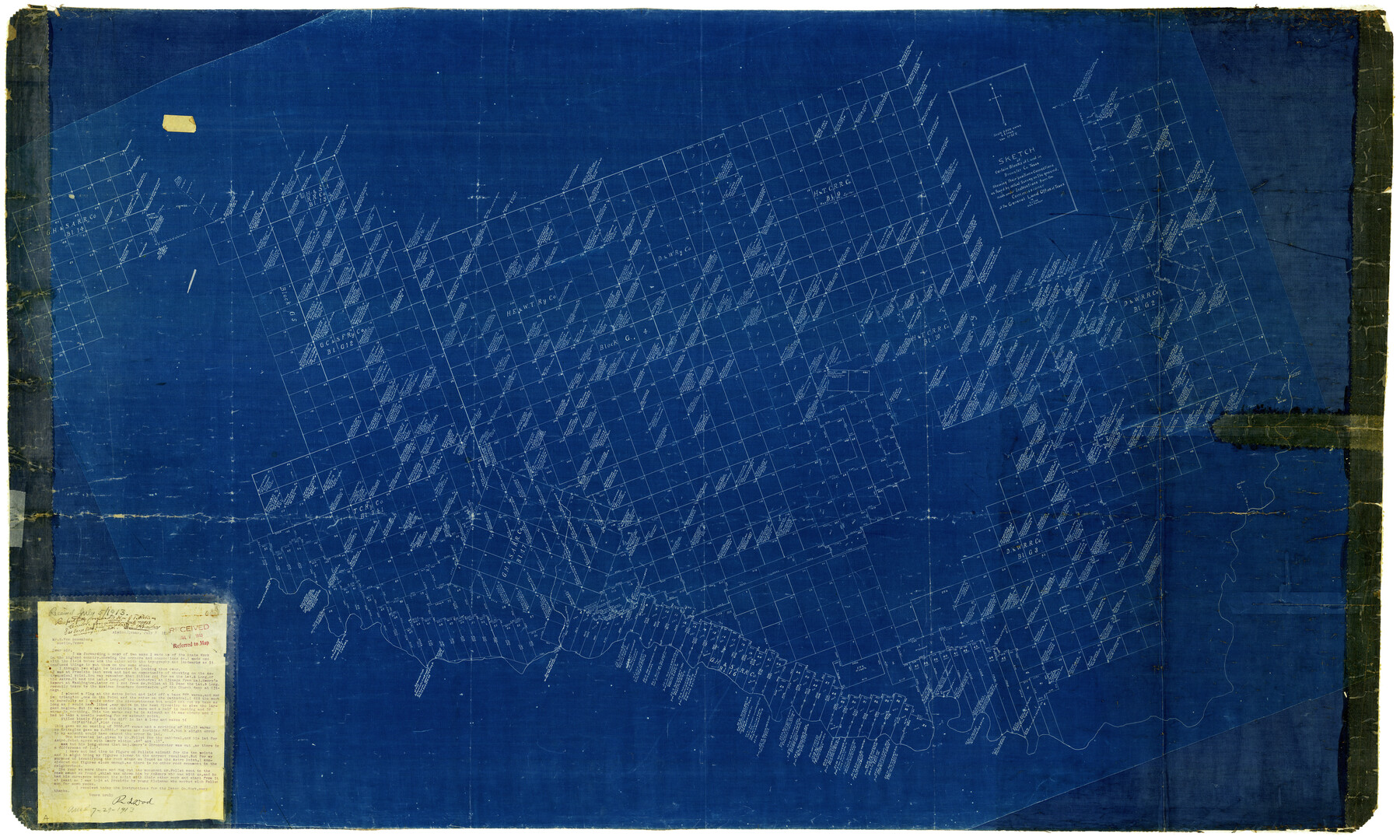
Brewster County Rolled Sketch 43
Sketch of certain blocks of land in Brewster Co. Texas showing their position & connections as found by actual survey on the ground
-
Map/Doc
8476
-
Collection
General Map Collection
-
Object Dates
7/3/1913 (Creation Date)
7/5/1913 (File Date)
-
People and Organizations
R.S. Dod (Surveyor/Engineer)
-
Counties
Brewster
-
Subjects
Surveying Rolled Sketch
-
Height x Width
38.6 x 63.8 inches
98.0 x 162.1 cm
-
Medium
blueprint/diazo
-
Scale
1" = 2000 varas
Part of: General Map Collection
[Surveys in DeLeon's Colony along the Garcitas River and Arenosa Creek, including the Victoria town tract]
![42, [Surveys in DeLeon's Colony along the Garcitas River and Arenosa Creek, including the Victoria town tract], General Map Collection](https://historictexasmaps.com/wmedia_w700/maps/42.tif.jpg)
Print $20.00
- Digital $50.00
[Surveys in DeLeon's Colony along the Garcitas River and Arenosa Creek, including the Victoria town tract]
1824
Size 22.1 x 17.6 inches
Map/Doc 42
Flight Mission No. BRE-2P, Frame 18, Nueces County

Print $20.00
- Digital $50.00
Flight Mission No. BRE-2P, Frame 18, Nueces County
1956
Size 18.5 x 22.7 inches
Map/Doc 86727
Dickens County Sketch File 14

Print $20.00
- Digital $50.00
Dickens County Sketch File 14
Size 19.6 x 16.6 inches
Map/Doc 11320
Cottle County Sketch File KN

Print $20.00
- Digital $50.00
Cottle County Sketch File KN
Size 18.8 x 25.2 inches
Map/Doc 11203

Chambers County Rolled Sketch 26

Print $20.00
- Digital $50.00
Chambers County Rolled Sketch 26
1947
Size 12.7 x 19.9 inches
Map/Doc 5428
Brewster County Working Sketch 59

Print $20.00
- Digital $50.00
Brewster County Working Sketch 59
1955
Size 24.6 x 19.0 inches
Map/Doc 67660
Atascosa County Sketch File 25

Print $4.00
- Digital $50.00
Atascosa County Sketch File 25
Size 12.7 x 8.0 inches
Map/Doc 13792
Bandera County Sketch File 2

Print $4.00
- Digital $50.00
Bandera County Sketch File 2
1855
Size 7.1 x 7.9 inches
Map/Doc 13997
Chocolate Bayou, Texas showing proposed connection from its mouth to West Galveston Bay for a Light Draft Navigation

Print $20.00
- Digital $50.00
Chocolate Bayou, Texas showing proposed connection from its mouth to West Galveston Bay for a Light Draft Navigation
Size 13.2 x 20.4 inches
Map/Doc 96557
Hutchinson County Rolled Sketch 44-3

Print $20.00
- Digital $50.00
Hutchinson County Rolled Sketch 44-3
2002
Size 24.0 x 36.0 inches
Map/Doc 77539
Flight Mission No. DQO-2K, Frame 87, Galveston County

Print $20.00
- Digital $50.00
Flight Mission No. DQO-2K, Frame 87, Galveston County
1952
Size 18.7 x 22.5 inches
Map/Doc 85014
You may also like
[Block H, Block 24]
![92598, [Block H, Block 24], Twichell Survey Records](https://historictexasmaps.com/wmedia_w700/maps/92598-1.tif.jpg)
Print $20.00
- Digital $50.00
[Block H, Block 24]
Size 30.2 x 17.0 inches
Map/Doc 92598
Galveston Harbor, Texas, South Jetty sketch showing extension of shoreline - Sheet 5

Print $2.00
- Digital $50.00
Galveston Harbor, Texas, South Jetty sketch showing extension of shoreline - Sheet 5
1936
Size 8.8 x 13.3 inches
Map/Doc 61819
Moore County Sketch File X

Print $20.00
- Digital $50.00
Moore County Sketch File X
Size 34.3 x 24.6 inches
Map/Doc 42131
Jefferson County NRC Article 33.136 Sketch 12

Print $22.00
- Digital $50.00
Jefferson County NRC Article 33.136 Sketch 12
2017
Size 24.0 x 36.0 inches
Map/Doc 95055
Kleberg County Rolled Sketch 10-40

Print $20.00
- Digital $50.00
Kleberg County Rolled Sketch 10-40
1952
Size 38.1 x 34.0 inches
Map/Doc 9392
[Blocks M-22, M-25 and vicinity]
![91235, [Blocks M-22, M-25 and vicinity], Twichell Survey Records](https://historictexasmaps.com/wmedia_w700/maps/91235-1.tif.jpg)
Print $20.00
- Digital $50.00
[Blocks M-22, M-25 and vicinity]
Size 27.4 x 25.2 inches
Map/Doc 91235
Hutchinson County Map

Print $20.00
- Digital $50.00
Hutchinson County Map
Size 18.1 x 19.4 inches
Map/Doc 91185

Hays County Sketch File 4

Print $4.00
- Digital $50.00
Hays County Sketch File 4
Size 8.5 x 7.0 inches
Map/Doc 26204
Lampasas County Boundary File 9

Print $6.00
- Digital $50.00
Lampasas County Boundary File 9
Size 11.2 x 8.7 inches
Map/Doc 56181
Zavala County Sketch File 47

Print $6.00
- Digital $50.00
Zavala County Sketch File 47
1937
Size 11.3 x 9.0 inches
Map/Doc 41430
Working Sketch in Collingsworth County [showing East line of County along border with Oklahoma]
![92086, Working Sketch in Collingsworth County [showing East line of County along border with Oklahoma], Twichell Survey Records](https://historictexasmaps.com/wmedia_w700/maps/92086-1.tif.jpg)
Print $20.00
- Digital $50.00
Working Sketch in Collingsworth County [showing East line of County along border with Oklahoma]
1910
Size 4.5 x 25.9 inches
Map/Doc 92086