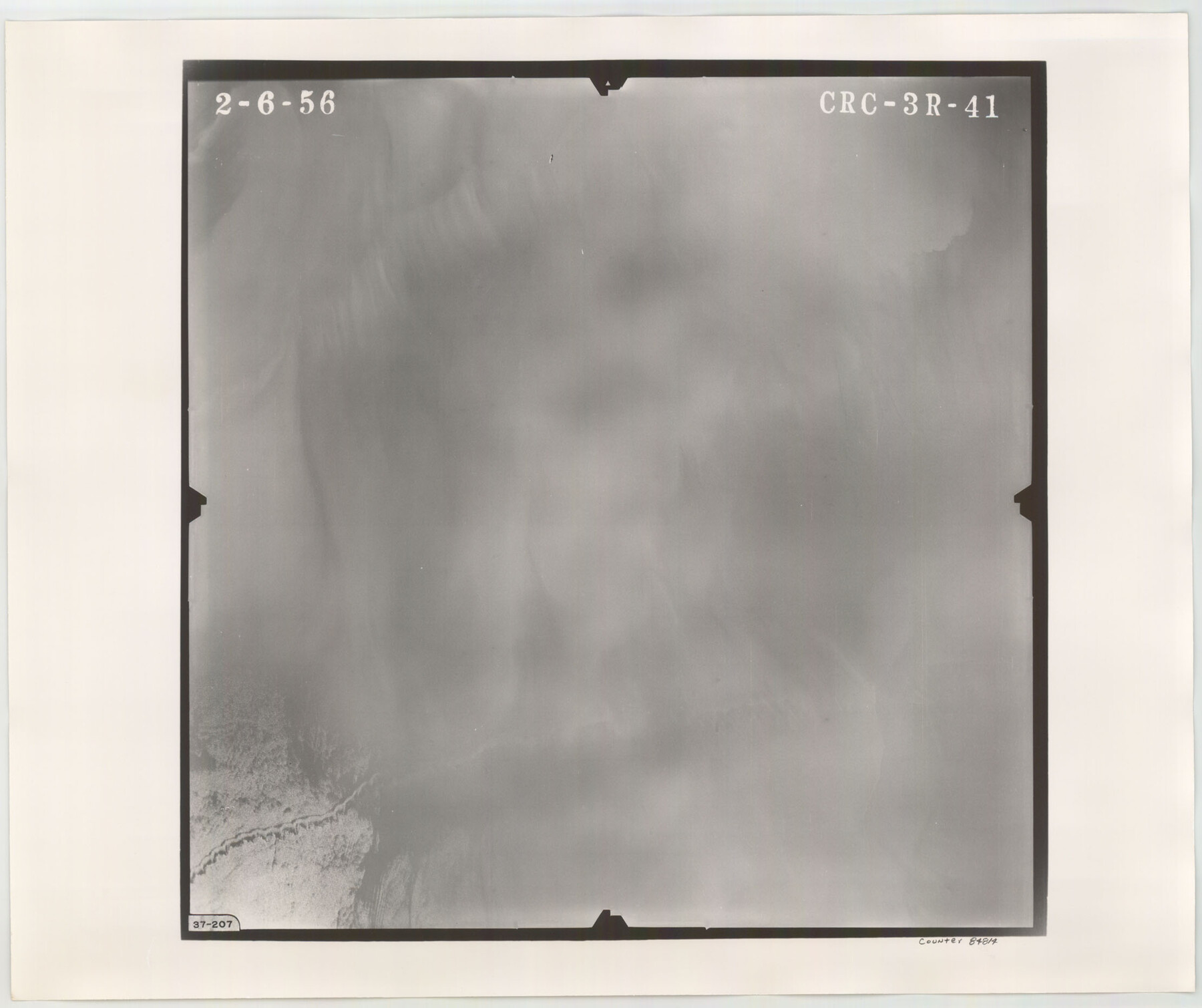
Flight Mission No. CRC-3R, Frame 41, Chambers County
CRC-3R-41
-
Map/Doc
84814
-
Collection
General Map Collection
-
Object Dates
1956/2/6 (Creation Date)
-
People and Organizations
U. S. Department of Agriculture (Publisher)
-
Counties
Chambers
-
Subjects
Aerial Photograph
-
Height x Width
18.6 x 22.2 inches
47.2 x 56.4 cm
-
Comments
Flown by Jack Ammann Photogrammetric Engineers, Inc. of San Antonio, Texas.
Part of: General Map Collection
Flight Mission No. CGI-4N, Frame 20, Cameron County

Print $20.00
- Digital $50.00
Flight Mission No. CGI-4N, Frame 20, Cameron County
1954
Size 18.6 x 22.3 inches
Map/Doc 84653
Map of Hamilton County

Print $20.00
- Digital $50.00
Map of Hamilton County
1863
Size 22.8 x 25.8 inches
Map/Doc 3621
Archer County Working Sketch 20

Print $20.00
- Digital $50.00
Archer County Working Sketch 20
1975
Size 31.7 x 24.4 inches
Map/Doc 67161
Concho County Rolled Sketch 17

Print $20.00
- Digital $50.00
Concho County Rolled Sketch 17
1961
Size 35.2 x 26.5 inches
Map/Doc 78462
Flight Mission No. DCL-7C, Frame 141, Kenedy County

Print $20.00
- Digital $50.00
Flight Mission No. DCL-7C, Frame 141, Kenedy County
1943
Size 18.5 x 22.4 inches
Map/Doc 86098
Nueces County Sketch File A

Print $10.00
- Digital $50.00
Nueces County Sketch File A
1879
Size 14.9 x 10.3 inches
Map/Doc 32493
Knox County Working Sketch 19

Print $20.00
- Digital $50.00
Knox County Working Sketch 19
1992
Size 25.0 x 35.6 inches
Map/Doc 70261
Loving County Working Sketch 19

Print $40.00
- Digital $50.00
Loving County Working Sketch 19
1978
Size 54.0 x 29.2 inches
Map/Doc 70653
Titus County Boundary File 4

Print $18.00
- Digital $50.00
Titus County Boundary File 4
Size 9.3 x 7.8 inches
Map/Doc 59303
Haskell County Rolled Sketch 7

Print $20.00
- Digital $50.00
Haskell County Rolled Sketch 7
1940
Size 22.0 x 26.5 inches
Map/Doc 6167
Lynn County Boundary File 5

Print $18.00
- Digital $50.00
Lynn County Boundary File 5
Size 10.2 x 8.3 inches
Map/Doc 56630
Flight Mission No. BRE-1P, Frame 35, Nueces County

Print $20.00
- Digital $50.00
Flight Mission No. BRE-1P, Frame 35, Nueces County
1956
Size 18.4 x 22.2 inches
Map/Doc 86631
You may also like
Brazoria County Working Sketch 31

Print $20.00
- Digital $50.00
Brazoria County Working Sketch 31
1977
Size 26.3 x 31.7 inches
Map/Doc 67516
General Highway Map. Detail of Cities and Towns in Bexar County, Texas [San Antonio and vicinity]
![79018, General Highway Map. Detail of Cities and Towns in Bexar County, Texas [San Antonio and vicinity], Texas State Library and Archives](https://historictexasmaps.com/wmedia_w700/maps/79018.tif.jpg)
Print $20.00
General Highway Map. Detail of Cities and Towns in Bexar County, Texas [San Antonio and vicinity]
1940
Size 18.6 x 25.2 inches
Map/Doc 79018
Potter County Working Sketch 3

Print $20.00
- Digital $50.00
Potter County Working Sketch 3
1920
Size 42.1 x 16.8 inches
Map/Doc 71663
Wharton County Boundary File 1a

Print $12.00
- Digital $50.00
Wharton County Boundary File 1a
Size 11.7 x 9.2 inches
Map/Doc 59851
Travis County Working Sketch 54

Print $20.00
- Digital $50.00
Travis County Working Sketch 54
1976
Size 30.1 x 32.0 inches
Map/Doc 69438
Kinney County

Print $40.00
- Digital $50.00
Kinney County
1955
Size 50.5 x 47.0 inches
Map/Doc 73209
Andrews County Working Sketch 29

Print $20.00
- Digital $50.00
Andrews County Working Sketch 29
1988
Size 25.9 x 25.8 inches
Map/Doc 67075
Brewster County Rolled Sketch 35

Print $20.00
- Digital $50.00
Brewster County Rolled Sketch 35
Size 20.7 x 28.2 inches
Map/Doc 5218
San Patricio County NRC Article 33.136 Sketch 5

Print $20.00
- Digital $50.00
San Patricio County NRC Article 33.136 Sketch 5
2006
Size 36.0 x 24.0 inches
Map/Doc 94697

[Right of Way & Track Map, The Texas & Pacific Ry. Co. Main Line]
![64684, [Right of Way & Track Map, The Texas & Pacific Ry. Co. Main Line], General Map Collection](https://historictexasmaps.com/wmedia_w700/maps/64684.tif.jpg)
Print $20.00
- Digital $50.00
[Right of Way & Track Map, The Texas & Pacific Ry. Co. Main Line]
Size 11.0 x 19.0 inches
Map/Doc 64684
Brown County Sketch File 13

Print $40.00
- Digital $50.00
Brown County Sketch File 13
Size 17.9 x 33.1 inches
Map/Doc 11020