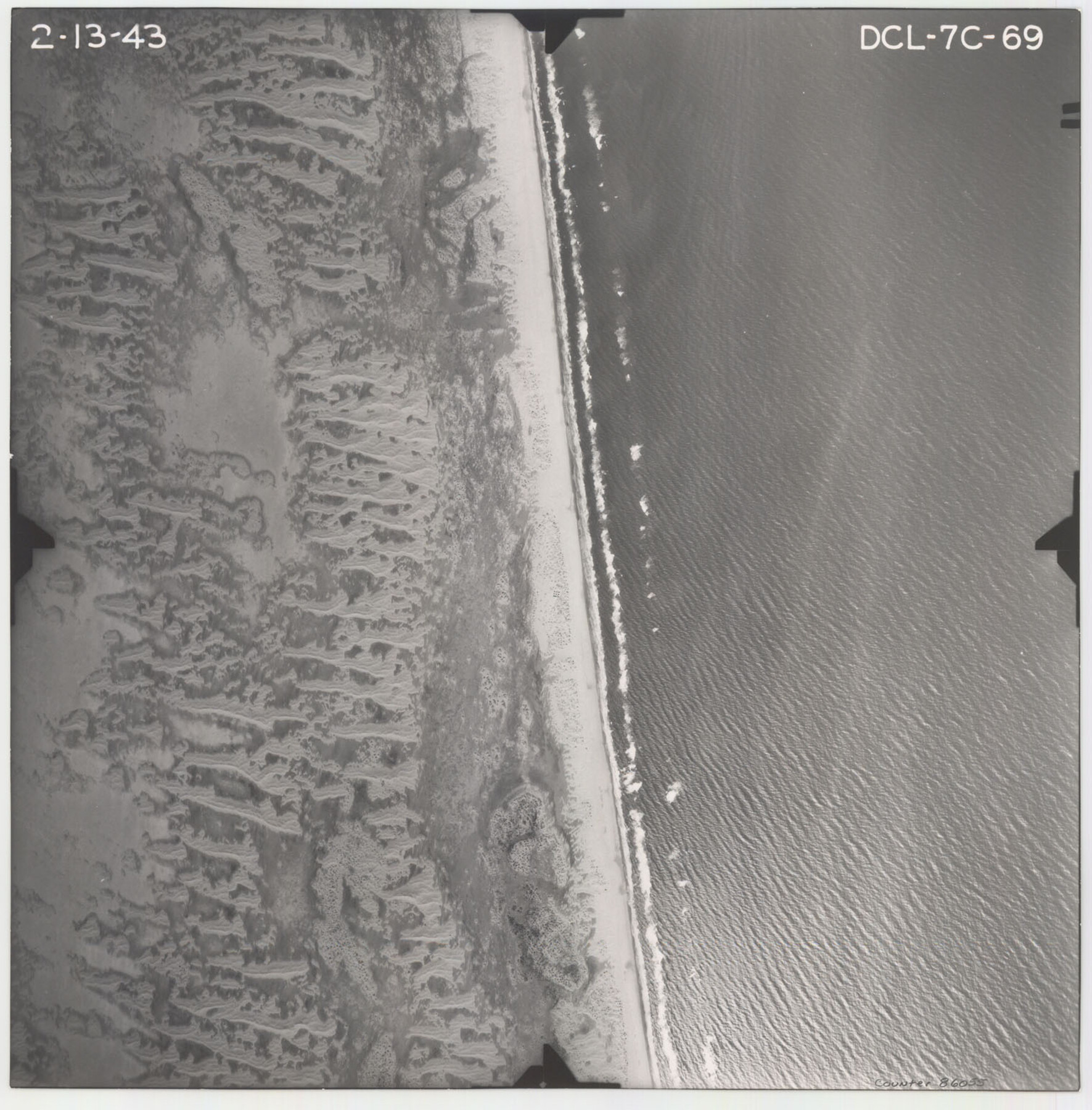
Flight Mission No. DCL-7C, Frame 69, Kenedy County
DCL-7C-69
-
Map/Doc
86055
-
Collection
General Map Collection
-
Object Dates
1943/2/13 (Creation Date)
-
People and Organizations
U. S. Department of Agriculture (Publisher)
-
Counties
Kenedy
-
Subjects
Aerial Photograph
-
Height x Width
15.4 x 15.2 inches
39.1 x 38.6 cm
-
Comments
Flown by Aerial Surveys of Pittsburgh, Inc. of Pittsburgh, Pennsylvania.
Part of: General Map Collection
Val Verde County Working Sketch 98

Print $20.00
- Digital $50.00
Val Verde County Working Sketch 98
1980
Size 26.5 x 31.8 inches
Map/Doc 72233
Map of Harris County Showing Abandoned Surveys

Print $40.00
- Digital $50.00
Map of Harris County Showing Abandoned Surveys
1938
Size 42.5 x 67.1 inches
Map/Doc 2053
Sam Street's Map of Dallas County, Texas

Sam Street's Map of Dallas County, Texas
1900
Size 32.1 x 28.5 inches
Map/Doc 76173
Township No. 5 South Range No. 10 West of the Indian Meridian

Print $20.00
- Digital $50.00
Township No. 5 South Range No. 10 West of the Indian Meridian
1874
Size 19.2 x 24.5 inches
Map/Doc 75161
Starr County Sketch File 24

Print $20.00
- Digital $50.00
Starr County Sketch File 24
1922
Size 15.7 x 19.5 inches
Map/Doc 12332
Flight Mission No. DAG-23K, Frame 145, Matagorda County

Print $20.00
- Digital $50.00
Flight Mission No. DAG-23K, Frame 145, Matagorda County
1953
Size 15.7 x 15.8 inches
Map/Doc 86493
Aransas County NRC Article 33.136 Location Key Sheet

Print $20.00
- Digital $50.00
Aransas County NRC Article 33.136 Location Key Sheet
1979
Size 27.0 x 23.0 inches
Map/Doc 87905
Sulphur River, Bassett Sheet

Print $20.00
- Digital $50.00
Sulphur River, Bassett Sheet
1939
Size 23.9 x 31.5 inches
Map/Doc 69683
Hutchinson County Rolled Sketch 44-6

Print $20.00
- Digital $50.00
Hutchinson County Rolled Sketch 44-6
2002
Size 24.0 x 36.0 inches
Map/Doc 77542
Flight Mission No. CRK-5P, Frame 123, Refugio County

Print $20.00
- Digital $50.00
Flight Mission No. CRK-5P, Frame 123, Refugio County
1956
Size 18.4 x 22.1 inches
Map/Doc 86926
Ward County Working Sketch 12

Print $20.00
- Digital $50.00
Ward County Working Sketch 12
1947
Size 23.4 x 22.7 inches
Map/Doc 72318
Burnet County Rolled Sketch T

Print $20.00
- Digital $50.00
Burnet County Rolled Sketch T
Size 24.7 x 18.3 inches
Map/Doc 5359
You may also like
"Pancho Villa Meets Genl. John J. Pershing"

Print $20.00
"Pancho Villa Meets Genl. John J. Pershing"
Size 16.0 x 20.0 inches
Map/Doc 94146
Andrews County Working Sketch 4

Print $20.00
- Digital $50.00
Andrews County Working Sketch 4
1954
Size 42.8 x 19.2 inches
Map/Doc 67050
Texas State Boundary Line 1

Print $22.00
- Digital $50.00
Texas State Boundary Line 1
1892
Size 14.3 x 8.8 inches
Map/Doc 73633
Brazoria County Working Sketch 44

Print $20.00
- Digital $50.00
Brazoria County Working Sketch 44
1988
Size 26.6 x 24.9 inches
Map/Doc 67529
Liberty County Working Sketch 55

Print $20.00
- Digital $50.00
Liberty County Working Sketch 55
1962
Size 30.4 x 31.4 inches
Map/Doc 70515
Sulphur River, Turner Lake Sheet, Cuthand Creek

Print $20.00
- Digital $50.00
Sulphur River, Turner Lake Sheet, Cuthand Creek
1922
Size 17.5 x 18.3 inches
Map/Doc 78338
Presidio County Working Sketch 123

Print $20.00
- Digital $50.00
Presidio County Working Sketch 123
1984
Size 39.5 x 17.7 inches
Map/Doc 71801
Flight Mission No. DQO-3K, Frame 34, Galveston County

Print $20.00
- Digital $50.00
Flight Mission No. DQO-3K, Frame 34, Galveston County
1952
Size 18.7 x 22.4 inches
Map/Doc 85075
Map of Parmer County

Print $20.00
- Digital $50.00
Map of Parmer County
1900
Size 47.8 x 41.3 inches
Map/Doc 16786

Red River County Working Sketch 81-4

Print $20.00
- Digital $50.00
Red River County Working Sketch 81-4
1987
Size 21.8 x 16.7 inches
Map/Doc 72067
Flight Mission No. DQN-2K, Frame 160, Calhoun County

Print $20.00
- Digital $50.00
Flight Mission No. DQN-2K, Frame 160, Calhoun County
1953
Size 18.6 x 22.3 inches
Map/Doc 84322