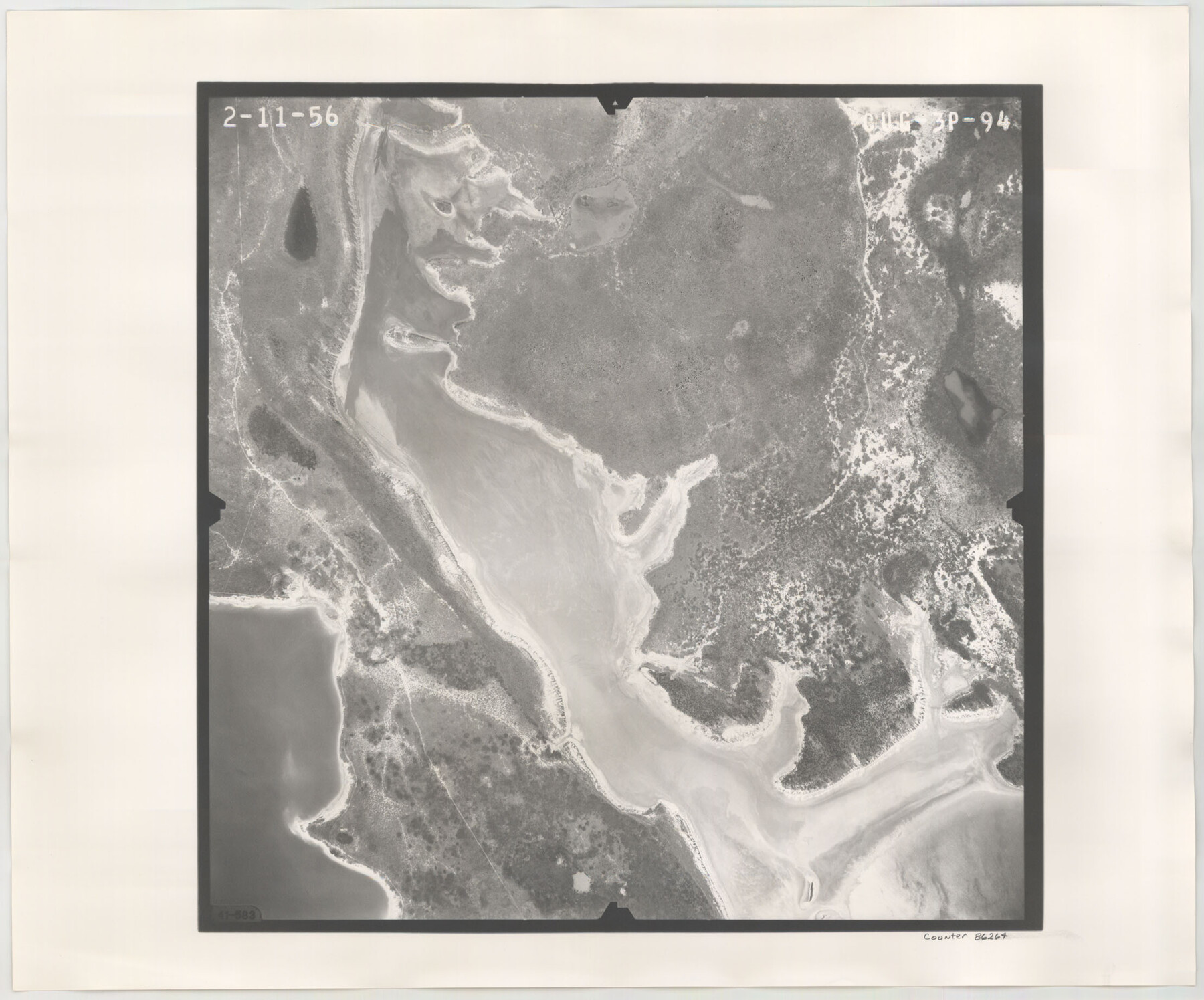
Flight Mission No. CUG-3P, Frame 94, Kleberg County
CUG-3P-94
-
Map/Doc
86264
-
Collection
General Map Collection
-
Object Dates
1956/2/11 (Creation Date)
-
People and Organizations
U. S. Department of Agriculture (Publisher)
-
Counties
Kleberg
-
Subjects
Aerial Photograph
-
Height x Width
18.4 x 22.2 inches
46.7 x 56.4 cm
-
Comments
Flown by V. L. Beavers and Associates of San Antonio, Texas.
Part of: General Map Collection
Reagan County

Print $20.00
- Digital $50.00
Reagan County
1940
Size 41.6 x 31.4 inches
Map/Doc 77403
Right of Way and Track Map, the Missouri, Kansas and Texas Ry. of Texas - Henrietta Division

Print $20.00
- Digital $50.00
Right of Way and Track Map, the Missouri, Kansas and Texas Ry. of Texas - Henrietta Division
1918
Size 11.8 x 26.8 inches
Map/Doc 64752
Flight Mission No. BQY-4M, Frame 36, Harris County

Print $20.00
- Digital $50.00
Flight Mission No. BQY-4M, Frame 36, Harris County
1953
Size 18.6 x 22.3 inches
Map/Doc 85251
Henderson County Rolled Sketch 11

Print $20.00
- Digital $50.00
Henderson County Rolled Sketch 11
1915
Size 29.4 x 42.2 inches
Map/Doc 75949
Armstrong County Working Sketch 5

Print $40.00
- Digital $50.00
Armstrong County Working Sketch 5
1918
Size 48.4 x 41.9 inches
Map/Doc 67236
Presidio County Sketch File 78

Print $6.00
- Digital $50.00
Presidio County Sketch File 78
Size 8.4 x 14.3 inches
Map/Doc 34706
Scurry County Rolled Sketch 1

Print $40.00
- Digital $50.00
Scurry County Rolled Sketch 1
Size 70.5 x 44.9 inches
Map/Doc 9910
Reagan County Sketch File 20

Print $4.00
- Digital $50.00
Reagan County Sketch File 20
Size 14.5 x 9.0 inches
Map/Doc 35011
King County Working Sketch 8

Print $20.00
- Digital $50.00
King County Working Sketch 8
1955
Size 30.8 x 24.8 inches
Map/Doc 70172
Chambers County Sketch File 44

Print $36.00
- Digital $50.00
Chambers County Sketch File 44
Size 13.9 x 8.7 inches
Map/Doc 17735
Erath County Sketch File 1

Print $4.00
- Digital $50.00
Erath County Sketch File 1
Size 3.9 x 8.1 inches
Map/Doc 22253
[Surveys in Tyler County]
![352, [Surveys in Tyler County], General Map Collection](https://historictexasmaps.com/wmedia_w700/maps/352.tif.jpg)
Print $2.00
- Digital $50.00
[Surveys in Tyler County]
1847
Size 8.3 x 5.2 inches
Map/Doc 352
You may also like
[Surveys Surrounding I. G. Yates S.F. 12394]
![91577, [Surveys Surrounding I. G. Yates S.F. 12394], Twichell Survey Records](https://historictexasmaps.com/wmedia_w700/maps/91577-1.tif.jpg)
Print $20.00
- Digital $50.00
[Surveys Surrounding I. G. Yates S.F. 12394]
Size 18.6 x 7.2 inches
Map/Doc 91577
Harris County Working Sketch 38

Print $20.00
- Digital $50.00
Harris County Working Sketch 38
1938
Size 23.6 x 23.7 inches
Map/Doc 65930
Reeves County Rolled Sketch N1

Print $20.00
- Digital $50.00
Reeves County Rolled Sketch N1
Size 21.8 x 41.9 inches
Map/Doc 7505
Hunt County Rolled Sketch 5

Print $20.00
- Digital $50.00
Hunt County Rolled Sketch 5
1966
Size 23.9 x 23.7 inches
Map/Doc 6274
Map of Rusk County

Print $20.00
- Digital $50.00
Map of Rusk County
1846
Size 31.6 x 20.6 inches
Map/Doc 4006
Kendall County Boundary File 2b

Print $4.00
- Digital $50.00
Kendall County Boundary File 2b
Size 10.0 x 8.0 inches
Map/Doc 55754
Uvalde County Sketch File 4

Print $22.00
- Digital $50.00
Uvalde County Sketch File 4
1879
Size 12.8 x 8.3 inches
Map/Doc 38951

Sketch from old map (authority unknown) showing a portion of the Rio Grande River and harbor of Brazos Santiago, Texas

Print $20.00
- Digital $50.00
Sketch from old map (authority unknown) showing a portion of the Rio Grande River and harbor of Brazos Santiago, Texas
1887
Size 18.1 x 24.3 inches
Map/Doc 73003
Flight Mission No. BRE-1P, Frame 107, Nueces County

Print $20.00
- Digital $50.00
Flight Mission No. BRE-1P, Frame 107, Nueces County
1956
Size 18.5 x 22.6 inches
Map/Doc 86678
Presidio County Sketch File A

Print $20.00
- Digital $50.00
Presidio County Sketch File A
Size 25.6 x 21.4 inches
Map/Doc 11700
[E. L. & R. R. RR. Co. Blocks 10 and 32, T. & P. R.R. Co. Blocks 30 and 31, Tsp 6N]
![90216, [E. L. & R. R. RR. Co. Blocks 10 and 32, T. & P. R.R. Co. Blocks 30 and 31, Tsp 6N], Twichell Survey Records](https://historictexasmaps.com/wmedia_w700/maps/90216-1.tif.jpg)
Print $20.00
- Digital $50.00
[E. L. & R. R. RR. Co. Blocks 10 and 32, T. & P. R.R. Co. Blocks 30 and 31, Tsp 6N]
Size 21.7 x 17.7 inches
Map/Doc 90216