[Sketch showing Panhandle and Santa Fe Railroad, Compress Spur and Seed House structures]
-
Map/Doc
92880
-
Collection
Twichell Survey Records
-
Counties
Lubbock
-
Subjects
Railroads
-
Height x Width
20.8 x 22.8 inches
52.8 x 57.9 cm
Part of: Twichell Survey Records
Cogdell Ranch Kent County, Texas


Print $20.00
- Digital $50.00
Cogdell Ranch Kent County, Texas
1950
Size 36.3 x 19.2 inches
Map/Doc 92188
[I. & G. N. Block 1, Secs. 65-75]
![90306, [I. & G. N. Block 1, Secs. 65-75], Twichell Survey Records](https://historictexasmaps.com/wmedia_w700/maps/90306-1.tif.jpg)
![90306, [I. & G. N. Block 1, Secs. 65-75], Twichell Survey Records](https://historictexasmaps.com/wmedia_w700/maps/90306-1.tif.jpg)
Print $20.00
- Digital $50.00
[I. & G. N. Block 1, Secs. 65-75]
1928
Size 24.9 x 21.3 inches
Map/Doc 90306
Working Sketch of Surveys in Kent & Scurry Co's.


Print $40.00
- Digital $50.00
Working Sketch of Surveys in Kent & Scurry Co's.
1950
Size 50.7 x 36.6 inches
Map/Doc 89860
[Northeast Portion of Kaufman County]
![91028, [Northeast Portion of Kaufman County], Twichell Survey Records](https://historictexasmaps.com/wmedia_w700/maps/91028-1.tif.jpg)
![91028, [Northeast Portion of Kaufman County], Twichell Survey Records](https://historictexasmaps.com/wmedia_w700/maps/91028-1.tif.jpg)
Print $20.00
- Digital $50.00
[Northeast Portion of Kaufman County]
Size 40.1 x 37.0 inches
Map/Doc 91028
[Blocks P, D, and John H. Gibson]
![90446, [Blocks P, D, and John H. Gibson], Twichell Survey Records](https://historictexasmaps.com/wmedia_w700/maps/90446-2.tif.jpg)
![90446, [Blocks P, D, and John H. Gibson], Twichell Survey Records](https://historictexasmaps.com/wmedia_w700/maps/90446-2.tif.jpg)
Print $20.00
- Digital $50.00
[Blocks P, D, and John H. Gibson]
Size 28.2 x 19.5 inches
Map/Doc 90446
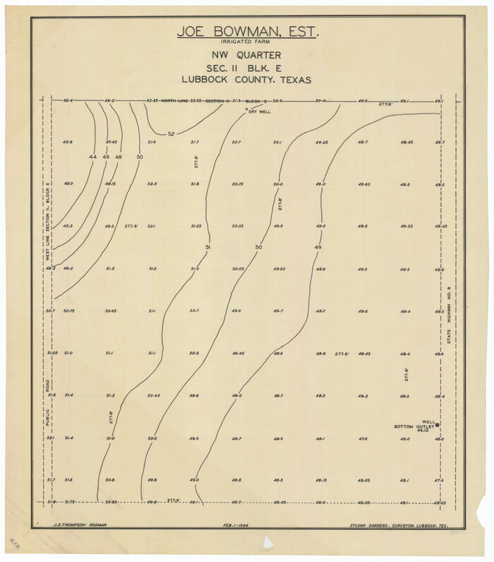
Joe Bowman, Est. Irrigated Farm NW Quarter Section 11, Block E

Print $20.00
- Digital $50.00
Joe Bowman, Est. Irrigated Farm NW Quarter Section 11, Block E
1944
Size 16.4 x 18.5 inches
Map/Doc 92329
Plat of Littlefield, Texas


Print $20.00
- Digital $50.00
Plat of Littlefield, Texas
Size 23.6 x 19.3 inches
Map/Doc 90990
[Blocks WJG2, FR, 330]
![92330, [Blocks WJG2, FR, 330], Twichell Survey Records](https://historictexasmaps.com/wmedia_w700/maps/92330-1.tif.jpg)
![92330, [Blocks WJG2, FR, 330], Twichell Survey Records](https://historictexasmaps.com/wmedia_w700/maps/92330-1.tif.jpg)
Print $20.00
- Digital $50.00
[Blocks WJG2, FR, 330]
Size 25.8 x 25.8 inches
Map/Doc 92330
Working Sketch compiled from original field notes showing surveys in Reagan and Irion Counties located by Frank Lerch in 1883 and 1884, also adjacent blocks and surveys (previously located by other surveyors) called for in his Field Notes


Print $20.00
- Digital $50.00
Working Sketch compiled from original field notes showing surveys in Reagan and Irion Counties located by Frank Lerch in 1883 and 1884, also adjacent blocks and surveys (previously located by other surveyors) called for in his Field Notes
1883
Size 35.8 x 20.0 inches
Map/Doc 91749
[Madison County School Land, W. Perry and other surveys to the East]
![90429, [Madison County School Land, W. Perry and other surveys to the East], Twichell Survey Records](https://historictexasmaps.com/wmedia_w700/maps/90429-1.tif.jpg)
![90429, [Madison County School Land, W. Perry and other surveys to the East], Twichell Survey Records](https://historictexasmaps.com/wmedia_w700/maps/90429-1.tif.jpg)
Print $20.00
- Digital $50.00
[Madison County School Land, W. Perry and other surveys to the East]
Size 13.8 x 16.3 inches
Map/Doc 90429
[East Line of Lipscomb County]
![91306, [East Line of Lipscomb County], Twichell Survey Records](https://historictexasmaps.com/wmedia_w700/maps/91306-1.tif.jpg)
![91306, [East Line of Lipscomb County], Twichell Survey Records](https://historictexasmaps.com/wmedia_w700/maps/91306-1.tif.jpg)
Print $20.00
- Digital $50.00
[East Line of Lipscomb County]
Size 8.9 x 27.2 inches
Map/Doc 91306
You may also like
Hudspeth County Rolled Sketch 78


Print $20.00
- Digital $50.00
Hudspeth County Rolled Sketch 78
2010
Size 18.4 x 24.5 inches
Map/Doc 93290
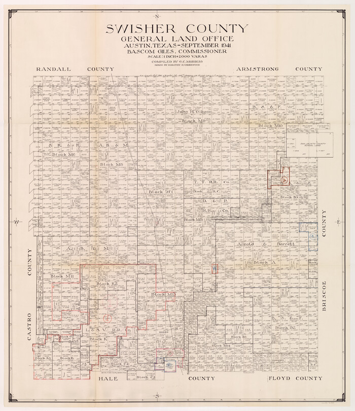
Swisher County Working Sketch Graphic Index

Print $20.00
- Digital $50.00
Swisher County Working Sketch Graphic Index
1941
Size 41.5 x 35.9 inches
Map/Doc 76707
San Jacinto County Working Sketch 22


Print $20.00
- Digital $50.00
San Jacinto County Working Sketch 22
1940
Size 21.3 x 25.3 inches
Map/Doc 63735
Collin County


Print $20.00
- Digital $50.00
Collin County
1975
Size 43.2 x 40.1 inches
Map/Doc 73110
San Patricio County, Texas


Print $20.00
- Digital $50.00
San Patricio County, Texas
1879
Size 18.1 x 22.8 inches
Map/Doc 611
Wilson County Sketch File 11

Print $27.00
- Digital $50.00
Wilson County Sketch File 11
Size 19.5 x 23.6 inches
Map/Doc 40419
Jasper County


Print $20.00
- Digital $50.00
Jasper County
1946
Size 46.8 x 41.0 inches
Map/Doc 77325
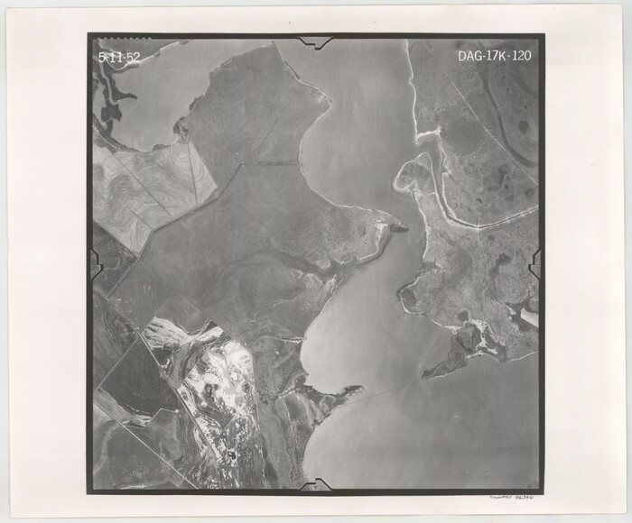
Flight Mission No. DAG-17K, Frame 120, Matagorda County

Print $20.00
- Digital $50.00
Flight Mission No. DAG-17K, Frame 120, Matagorda County
1952
Size 18.6 x 22.4 inches
Map/Doc 86340
Map of Lee County


Print $20.00
- Digital $50.00
Map of Lee County
1888
Size 42.1 x 39.8 inches
Map/Doc 16876
Rains County Working Sketch 3


Print $20.00
- Digital $50.00
Rains County Working Sketch 3
1918
Size 22.3 x 12.5 inches
Map/Doc 71829
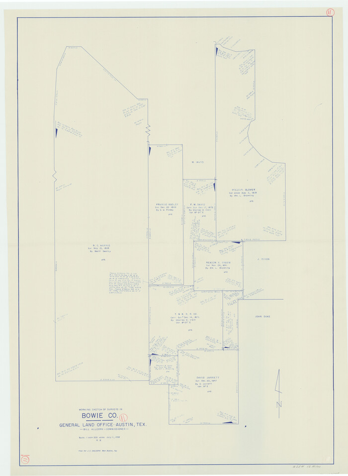
Bowie County Working Sketch 11

Print $20.00
- Digital $50.00
Bowie County Working Sketch 11
1958
Size 43.2 x 31.6 inches
Map/Doc 67415
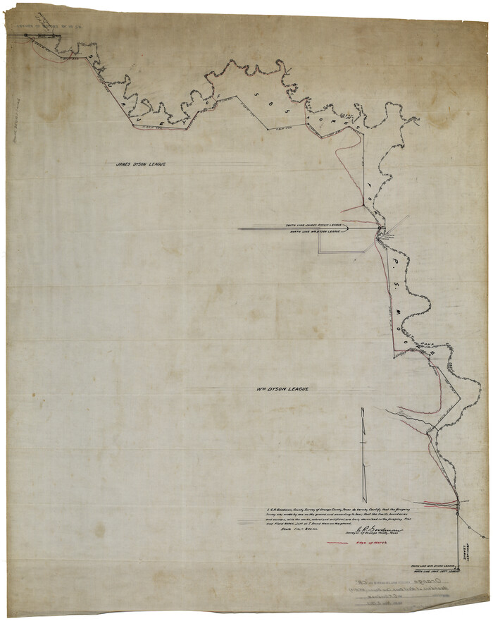
Orange County Rolled Sketch CR

Print $20.00
- Digital $50.00
Orange County Rolled Sketch CR
Size 39.4 x 31.5 inches
Map/Doc 9653
![92880, [Sketch showing Panhandle and Santa Fe Railroad, Compress Spur and Seed House structures], Twichell Survey Records](https://historictexasmaps.com/wmedia_w1800h1800/maps/92880-1.tif.jpg)
