Sheet 6 copied from Champlin Book 5 [Strip Map showing T. & P. connecting lines]
TP-35
-
Map/Doc
93175
-
Collection
Twichell Survey Records
-
Object Dates
7/23/1909 (Creation Date)
-
People and Organizations
O.R. Morse (Draftsman)
-
Counties
Dawson Borden Martin Howard
-
Height x Width
7.7 x 90.0 inches
19.6 x 228.6 cm
Part of: Twichell Survey Records
[Blocks Z3, S, H1 and 1 and vicinity]
![93120, [Blocks Z3, S, H1 and 1 and vicinity], Twichell Survey Records](https://historictexasmaps.com/wmedia_w700/maps/93120-1.tif.jpg)
![93120, [Blocks Z3, S, H1 and 1 and vicinity], Twichell Survey Records](https://historictexasmaps.com/wmedia_w700/maps/93120-1.tif.jpg)
Print $40.00
- Digital $50.00
[Blocks Z3, S, H1 and 1 and vicinity]
Size 54.0 x 32.2 inches
Map/Doc 93120
[Blocks X, I, and O. South Part of the County]
![91094, [Blocks X, I, and O. South Part of the County], Twichell Survey Records](https://historictexasmaps.com/wmedia_w700/maps/91094-1.tif.jpg)
![91094, [Blocks X, I, and O. South Part of the County], Twichell Survey Records](https://historictexasmaps.com/wmedia_w700/maps/91094-1.tif.jpg)
Print $20.00
- Digital $50.00
[Blocks X, I, and O. South Part of the County]
1902
Size 22.0 x 16.8 inches
Map/Doc 91094
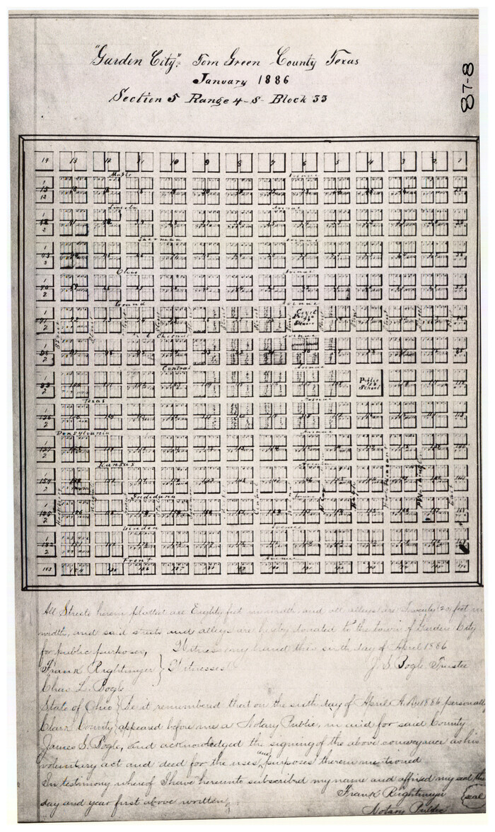
Garden City Townsite, Section 5, Range 4 South, Block 33

Print $2.00
- Digital $50.00
Garden City Townsite, Section 5, Range 4 South, Block 33
1886
Size 9.0 x 15.4 inches
Map/Doc 90761
[Corner of Crosby, Lubbock, Lynn and Garza Counties]
![90905, [Corner of Crosby, Lubbock, Lynn and Garza Counties], Twichell Survey Records](https://historictexasmaps.com/wmedia_w700/maps/90905-1.tif.jpg)
![90905, [Corner of Crosby, Lubbock, Lynn and Garza Counties], Twichell Survey Records](https://historictexasmaps.com/wmedia_w700/maps/90905-1.tif.jpg)
Print $20.00
- Digital $50.00
[Corner of Crosby, Lubbock, Lynn and Garza Counties]
Size 36.0 x 22.8 inches
Map/Doc 90905
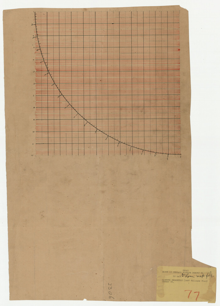
Block 10, Deshazo, Borden County

Print $20.00
- Digital $50.00
Block 10, Deshazo, Borden County
Size 18.3 x 25.5 inches
Map/Doc 92127
A true copy of Peck's field book No. 7 pages 50 to 55, except classfication of lands


Print $40.00
- Digital $50.00
A true copy of Peck's field book No. 7 pages 50 to 55, except classfication of lands
Size 6.1 x 54.3 inches
Map/Doc 89666
[Blocks R31E-R34E Township 11-13]
![92039, [Blocks R31E-R34E Township 11-13], Twichell Survey Records](https://historictexasmaps.com/wmedia_w700/maps/92039-1.tif.jpg)
![92039, [Blocks R31E-R34E Township 11-13], Twichell Survey Records](https://historictexasmaps.com/wmedia_w700/maps/92039-1.tif.jpg)
Print $20.00
- Digital $50.00
[Blocks R31E-R34E Township 11-13]
Size 21.7 x 16.7 inches
Map/Doc 92039
[Portion of sketch showing alleged vacancy]
![91953, [Portion of sketch showing alleged vacancy], Twichell Survey Records](https://historictexasmaps.com/wmedia_w700/maps/91953-1.tif.jpg)
![91953, [Portion of sketch showing alleged vacancy], Twichell Survey Records](https://historictexasmaps.com/wmedia_w700/maps/91953-1.tif.jpg)
Print $20.00
- Digital $50.00
[Portion of sketch showing alleged vacancy]
Size 18.9 x 24.4 inches
Map/Doc 91953
Reagan County Working Sketch


Print $20.00
- Digital $50.00
Reagan County Working Sketch
1923
Size 27.0 x 17.5 inches
Map/Doc 92971
Cliffside Situated on Section 21, Block 9, Potter County, Texas


Print $2.00
- Digital $50.00
Cliffside Situated on Section 21, Block 9, Potter County, Texas
Size 6.1 x 11.5 inches
Map/Doc 92100
Sketch of H. & T. C. RR. Co. Lands on the Canadian River in Oldham and Wheeler Districts


Print $40.00
- Digital $50.00
Sketch of H. & T. C. RR. Co. Lands on the Canadian River in Oldham and Wheeler Districts
1884
Size 88.9 x 23.8 inches
Map/Doc 93193
You may also like
Coke County Boundary File 2


Print $64.00
- Digital $50.00
Coke County Boundary File 2
Size 49.0 x 9.0 inches
Map/Doc 51580
Flight Mission No. CRC-1R, Frame 157, Chambers County


Print $20.00
- Digital $50.00
Flight Mission No. CRC-1R, Frame 157, Chambers County
1956
Size 18.8 x 22.5 inches
Map/Doc 84719
[School Leagues in Bailey and Lamb County]
![90987, [School Leagues in Bailey and Lamb County], Twichell Survey Records](https://historictexasmaps.com/wmedia_w700/maps/90987-2.tif.jpg)
![90987, [School Leagues in Bailey and Lamb County], Twichell Survey Records](https://historictexasmaps.com/wmedia_w700/maps/90987-2.tif.jpg)
Print $20.00
- Digital $50.00
[School Leagues in Bailey and Lamb County]
Size 30.5 x 25.2 inches
Map/Doc 90987
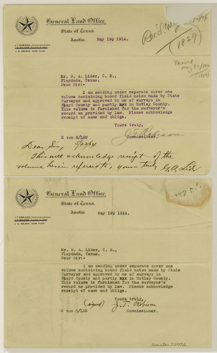
Floyd County Sketch File 20

Print $4.00
- Digital $50.00
Floyd County Sketch File 20
1914
Size 14.5 x 8.9 inches
Map/Doc 22772
Aransas County Rolled Sketch 17
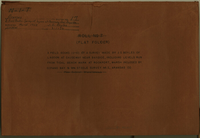

Aransas County Rolled Sketch 17
1953
Size 10.5 x 15.2 inches
Map/Doc 42219
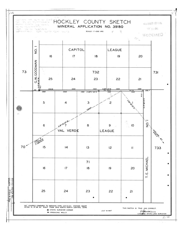
Hockley County Rolled Sketch 9

Print $20.00
- Digital $50.00
Hockley County Rolled Sketch 9
1947
Size 21.2 x 16.5 inches
Map/Doc 6218
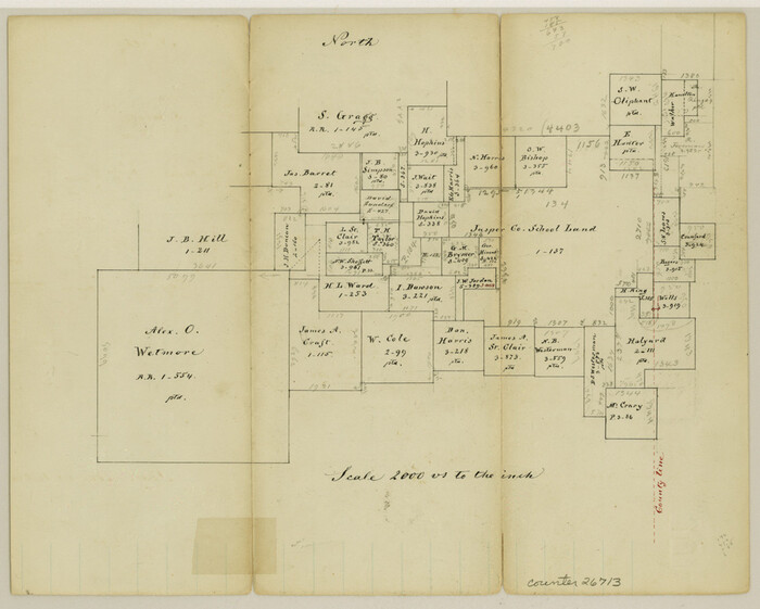
Hopkins County Sketch File 16

Print $4.00
- Digital $50.00
Hopkins County Sketch File 16
1870
Size 8.1 x 10.1 inches
Map/Doc 26713
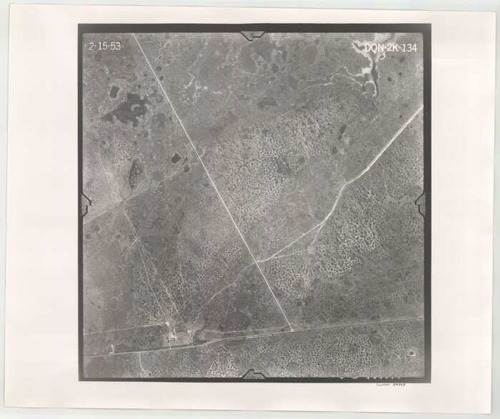
Flight Mission No. DQN-2K, Frame 134, Calhoun County

Print $20.00
- Digital $50.00
Flight Mission No. DQN-2K, Frame 134, Calhoun County
1953
Size 18.8 x 22.4 inches
Map/Doc 84303
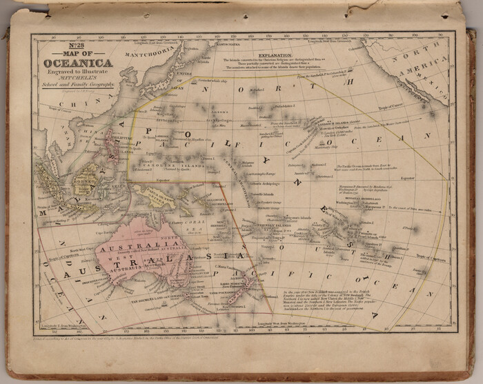
Map of Oceania engraved to illustrate Mitchell's school and family geography

Print $20.00
- Digital $50.00
Map of Oceania engraved to illustrate Mitchell's school and family geography
1839
Size 9.5 x 11.8 inches
Map/Doc 93508
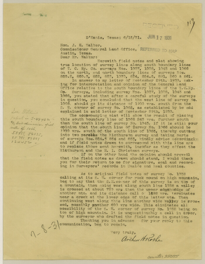
Real County Sketch File 7

Print $8.00
- Digital $50.00
Real County Sketch File 7
1931
Size 11.3 x 8.8 inches
Map/Doc 35055
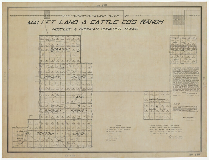
Map Showing Subdivision of Mallet Land and Cattle Company's Ranch Hockley and Cochran Counties, Texas

Print $20.00
- Digital $50.00
Map Showing Subdivision of Mallet Land and Cattle Company's Ranch Hockley and Cochran Counties, Texas
1924
Size 39.4 x 30.3 inches
Map/Doc 92210
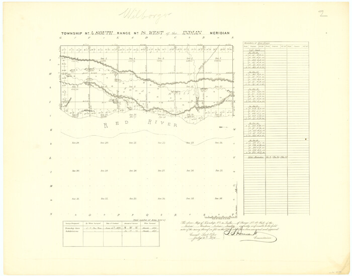
Township No. 4 South Range No. 18 West of the Indian Meridian

Print $20.00
- Digital $50.00
Township No. 4 South Range No. 18 West of the Indian Meridian
1875
Size 19.2 x 24.4 inches
Map/Doc 75184
![93175, Sheet 6 copied from Champlin Book 5 [Strip Map showing T. & P. connecting lines], Twichell Survey Records](https://historictexasmaps.com/wmedia_w1800h1800/maps/93175-1.tif.jpg)
