Crockett County Sketch File 100
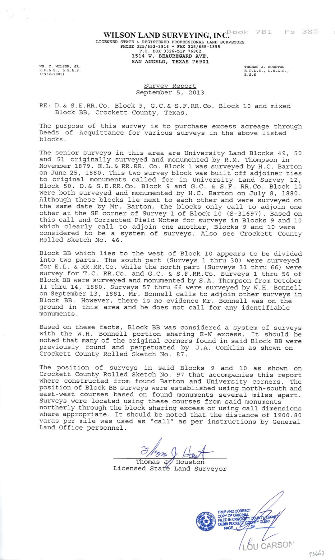
Survey report regarding D. & S. E. RR. Co. Block 9, G. C. & S. F. RR. Co. Block 10 and mixed Block BB
-
Map/Doc
93663
-
Collection
General Map Collection
-
Object Dates
2013/9/5 (Creation Date)
2014/2/18 (File Date)
-
People and Organizations
Thomas J. Houston (Surveyor/Engineer)
-
Counties
Crockett
-
Subjects
Surveying Sketch File
-
Height x Width
14.0 x 8.5 inches
35.6 x 21.6 cm
-
Medium
paper, print
-
Comments
See Crockett County Rolled Sketch 97 (93664) for sketch.
Related maps
Crockett County Rolled Sketch 97

Print $20.00
- Digital $50.00
Crockett County Rolled Sketch 97
2013
Size 22.9 x 24.8 inches
Map/Doc 93664
Part of: General Map Collection
Chambers County Sketch File 35

Print $14.00
- Digital $50.00
Chambers County Sketch File 35
Size 7.1 x 7.6 inches
Map/Doc 17625
Goliad County

Print $20.00
- Digital $50.00
Goliad County
1946
Size 44.0 x 46.1 inches
Map/Doc 95509
La Salle County Rolled Sketch 20

Print $20.00
- Digital $50.00
La Salle County Rolled Sketch 20
1954
Size 24.6 x 40.1 inches
Map/Doc 6584
Live Oak County Sketch File 11b

Print $6.00
- Digital $50.00
Live Oak County Sketch File 11b
Size 8.2 x 12.6 inches
Map/Doc 30267
Kleberg County Aerial Photograph Index Sheet 2

Print $20.00
- Digital $50.00
Kleberg County Aerial Photograph Index Sheet 2
1956
Size 19.4 x 23.4 inches
Map/Doc 83719
Travis County Appraisal District Plat Map 2_0502

Print $20.00
- Digital $50.00
Travis County Appraisal District Plat Map 2_0502
Size 21.4 x 26.4 inches
Map/Doc 94236
Schleicher County Sketch File 19

Print $6.00
- Digital $50.00
Schleicher County Sketch File 19
1932
Size 11.5 x 15.1 inches
Map/Doc 36508
Flight Mission No. DQO-1K, Frame 113, Galveston County

Print $20.00
- Digital $50.00
Flight Mission No. DQO-1K, Frame 113, Galveston County
1952
Size 18.9 x 22.7 inches
Map/Doc 84991
San Saba County Working Sketch 1

Print $20.00
- Digital $50.00
San Saba County Working Sketch 1
1919
Size 15.3 x 15.3 inches
Map/Doc 63789
America's Fun-Tier: Texas 1965 Official Highway Travel Map

Digital $50.00
America's Fun-Tier: Texas 1965 Official Highway Travel Map
Size 28.2 x 36.4 inches
Map/Doc 94326
Texas, San Antonio Bay, Panther Point

Print $40.00
- Digital $50.00
Texas, San Antonio Bay, Panther Point
1934
Size 33.2 x 48.3 inches
Map/Doc 69995
Cherokee County Working Sketch 3

Print $20.00
- Digital $50.00
Cherokee County Working Sketch 3
1934
Size 29.6 x 42.7 inches
Map/Doc 67958
You may also like
San Augustine County Working Sketch 17

Print $20.00
- Digital $50.00
San Augustine County Working Sketch 17
1963
Size 20.3 x 21.5 inches
Map/Doc 63705
Culberson County Rolled Sketch 51

Print $20.00
- Digital $50.00
Culberson County Rolled Sketch 51
1966
Size 35.2 x 27.0 inches
Map/Doc 5670
Maverick County Working Sketch 8

Print $40.00
- Digital $50.00
Maverick County Working Sketch 8
1959
Size 50.3 x 37.7 inches
Map/Doc 70900
Robertson & Scott V Ranch situated in Crosby County, Texas

Print $40.00
- Digital $50.00
Robertson & Scott V Ranch situated in Crosby County, Texas
Size 41.2 x 48.8 inches
Map/Doc 89758
Burnet County Sketch File 15

Print $4.00
- Digital $50.00
Burnet County Sketch File 15
Size 8.3 x 10.3 inches
Map/Doc 16702
Motley County Sketch File 24 (S)

Print $4.00
- Digital $50.00
Motley County Sketch File 24 (S)
Size 9.2 x 7.1 inches
Map/Doc 32204
Real County Sketch File 6

Print $20.00
- Digital $50.00
Real County Sketch File 6
1931
Size 17.3 x 19.6 inches
Map/Doc 12229
Lipscomb County

Print $20.00
- Digital $50.00
Lipscomb County
1932
Size 40.2 x 37.1 inches
Map/Doc 77355
Foard County Rolled Sketch 15A

Print $20.00
- Digital $50.00
Foard County Rolled Sketch 15A
1889
Size 37.3 x 39.8 inches
Map/Doc 75936
[R. T. Bucy's Survey 3, League 321]
![91296, [R. T. Bucy's Survey 3, League 321], Twichell Survey Records](https://historictexasmaps.com/wmedia_w700/maps/91296-1.tif.jpg)
Print $20.00
- Digital $50.00
[R. T. Bucy's Survey 3, League 321]
Size 12.2 x 19.1 inches
Map/Doc 91296
Nueces County Sketch File 58

Print $162.00
- Digital $50.00
Nueces County Sketch File 58
1981
Size 11.2 x 8.5 inches
Map/Doc 32920
Zavala County Working Sketch 31

Print $20.00
- Digital $50.00
Zavala County Working Sketch 31
2019
Size 36.0 x 24.2 inches
Map/Doc 95407