Routes to HemisFair '68 : World's Fair, San Antonio, Texas, April 6 through Oct. 6, 1968 [Recto]
-
Map/Doc
94168
-
Collection
General Map Collection
-
Object Dates
1968 (Copyright Date)
-
People and Organizations
Rand McNally & Co. (Publisher)
James Harkins (Donor)
-
Subjects
State of Texas
-
Height x Width
18.2 x 24.2 inches
46.2 x 61.5 cm
-
Medium
paper, etching/engraving/lithograph
-
Scale
1" = approx. 49 miles
-
Comments
Tourist map.
Panel title: Hemisfair Tourgide Map.
Donated by James Harkins.
Shows highways, cities and towns, distances between towns, waterways, etc. in Texas and parts of surrounding states on recto.
Includes index to cities and towns on recto.
Additional inset maps on recto: Dallas-Ft Worth, Texas -- Houston, Texas -- New Orleans, Louisiana -- Inter American Highway
Shows exhibitors and points of interest on verso.
Additional inset maps on verso: San Antonio -- Downtown San Antonio -- HemisFair'68: 1968 World's Fair, San Antonio, April 6-Oct. 6
See 94169 for verso.
For reference/research purposes only. Promotional map produced and distributed by Gulf for the 1968 World's Fair in San Antonio. -
URLs
https://medium.com/save-texas-history/hemisfair-gulf-tourgide-map-2aaf4c732b39
Related maps
Routes to HemisFair '68 : World's Fair, San Antonio, Texas, April 6 through Oct. 6, 1968 [Verso]
![94169, Hemisfair Gulf Tourgide Map [Verso], General Map Collection](https://historictexasmaps.com/wmedia_w700/maps/94169.tif.jpg)
![94169, Hemisfair Gulf Tourgide Map [Verso], General Map Collection](https://historictexasmaps.com/wmedia_w700/maps/94169.tif.jpg)
Routes to HemisFair '68 : World's Fair, San Antonio, Texas, April 6 through Oct. 6, 1968 [Verso]
Size 18.3 x 24.3 inches
Map/Doc 94169
Part of: General Map Collection
Wilbarger Co.

Print $40.00
- Digital $50.00
Wilbarger Co.
1907
Size 49.0 x 39.3 inches
Map/Doc 16927
Presidio County Sketch File 104

Print $17.00
- Digital $50.00
Presidio County Sketch File 104
Size 11.3 x 8.7 inches
Map/Doc 34807
Gray County Boundary File 1

Print $10.00
- Digital $50.00
Gray County Boundary File 1
Size 11.4 x 8.8 inches
Map/Doc 53845
Milam County Working Sketch 13

Print $20.00
- Digital $50.00
Milam County Working Sketch 13
2004
Size 34.1 x 46.0 inches
Map/Doc 83578
Kerr County Sketch File 16

Print $40.00
- Digital $50.00
Kerr County Sketch File 16
1948
Size 18.2 x 14.2 inches
Map/Doc 28888
Brazoria County Working Sketch 44

Print $20.00
- Digital $50.00
Brazoria County Working Sketch 44
1988
Size 26.6 x 24.9 inches
Map/Doc 67529
Castro County Sketch File 9

Print $4.00
- Digital $50.00
Castro County Sketch File 9
1908
Size 11.2 x 8.6 inches
Map/Doc 17499
Wood County Working Sketch 2


Print $20.00
- Digital $50.00
Wood County Working Sketch 2
1913
Size 17.8 x 16.8 inches
Map/Doc 62002
Johnson County Rolled Sketch B

Print $20.00
- Digital $50.00
Johnson County Rolled Sketch B
1891
Size 28.2 x 38.9 inches
Map/Doc 6449
Red River County Red River District


Print $20.00
- Digital $50.00
Red River County Red River District
1879
Size 24.9 x 21.8 inches
Map/Doc 3976
Webb County Sketch File 7-2


Print $20.00
- Digital $50.00
Webb County Sketch File 7-2
1927
Size 31.6 x 23.7 inches
Map/Doc 12618
You may also like
Starr County Working Sketch 17


Print $20.00
- Digital $50.00
Starr County Working Sketch 17
1982
Size 46.1 x 42.7 inches
Map/Doc 63933
Subdivision of the J. F. Carter Estate


Print $3.00
- Digital $50.00
Subdivision of the J. F. Carter Estate
Size 11.9 x 9.4 inches
Map/Doc 91272
Flight Mission No. DQN-7K, Frame 35, Calhoun County

Print $20.00
- Digital $50.00
Flight Mission No. DQN-7K, Frame 35, Calhoun County
1953
Size 18.5 x 22.1 inches
Map/Doc 84473
Johnson County Sketch File 10a


Print $4.00
- Digital $50.00
Johnson County Sketch File 10a
1877
Size 6.7 x 10.6 inches
Map/Doc 28445
Gaines County Rolled Sketch 26

Print $20.00
- Digital $50.00
Gaines County Rolled Sketch 26
1980
Size 28.0 x 15.5 inches
Map/Doc 5940
Galveston County NRC Article 33.136 Sketch 46


Print $23.00
- Digital $50.00
Galveston County NRC Article 33.136 Sketch 46
2007
Size 24.6 x 36.0 inches
Map/Doc 87936
Flight Mission No. CRK-3P, Frame 176, Refugio County

Print $20.00
- Digital $50.00
Flight Mission No. CRK-3P, Frame 176, Refugio County
1956
Size 18.3 x 22.2 inches
Map/Doc 86923
Matagorda County Rolled Sketch H & W


Matagorda County Rolled Sketch H & W
1936
Size 27.1 x 41.2 inches
Map/Doc 61776
Harris County Rolled Sketch WD


Print $40.00
- Digital $50.00
Harris County Rolled Sketch WD
1936
Size 43.1 x 66.7 inches
Map/Doc 9125
Montgomery County, Texas
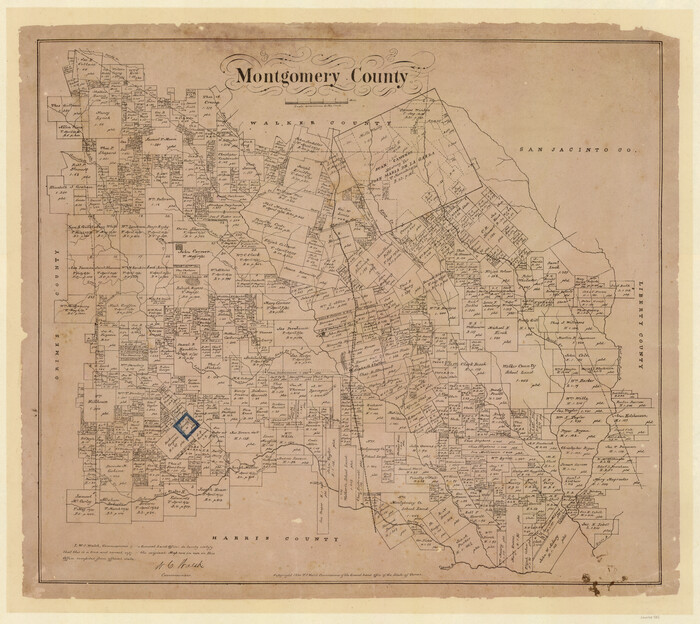

Print $20.00
- Digital $50.00
Montgomery County, Texas
1880
Size 24.6 x 27.6 inches
Map/Doc 582
Runnels County Working Sketch 20
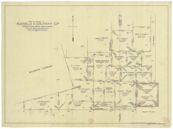

Print $20.00
- Digital $50.00
Runnels County Working Sketch 20
1950
Size 23.1 x 30.9 inches
Map/Doc 63616
Pecos County Working Sketch 63
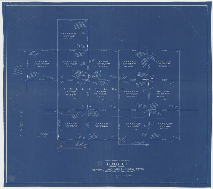

Print $20.00
- Digital $50.00
Pecos County Working Sketch 63
1954
Size 29.5 x 33.2 inches
Map/Doc 71535
![94168, Hemisfair Gulf Tourgide Map [Recto], General Map Collection](https://historictexasmaps.com/wmedia_w1800h1800/maps/94168.tif.jpg)
