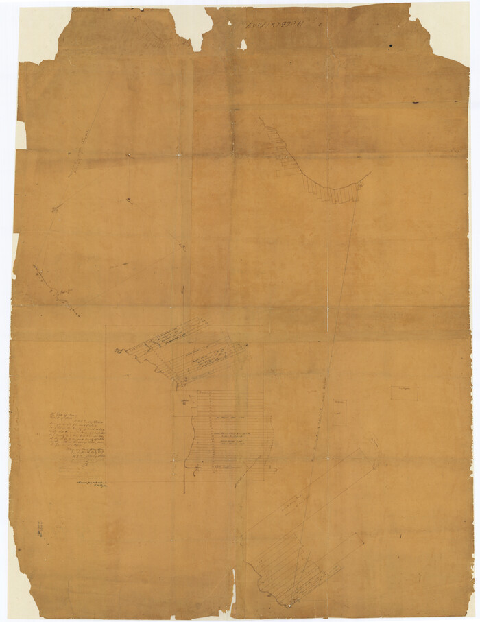
California [Verso]
Touring Map of California
-
Map/Doc
94191
-
Collection
General Map Collection
-
Object Dates
1962 (Creation Date)
-
People and Organizations
The H.M. Gousha Company (Publisher)
James Harkins (Donor)
-
Subjects
New Southwest
-
Height x Width
18.4 x 27.2 inches
46.7 x 69.1 cm
-
Medium
paper, etching/engraving/lithograph
-
Comments
For reference/research purposes only. Promotional map of California sponsored by Texaco. Donated by James Harkins. See 94190 for recto.
Related maps
Part of: General Map Collection
Brazoria County Sketch File 14

Print $8.00
- Digital $50.00
Brazoria County Sketch File 14
1892
Size 13.9 x 8.7 inches
Map/Doc 14973
Map of Parker County


Print $20.00
- Digital $50.00
Map of Parker County
1860
Size 24.1 x 19.0 inches
Map/Doc 3945
La Salle County Working Sketch 44


Print $40.00
- Digital $50.00
La Salle County Working Sketch 44
1980
Size 34.7 x 65.8 inches
Map/Doc 70345
Flight Mission No. DCL-7C, Frame 9, Kenedy County


Print $20.00
- Digital $50.00
Flight Mission No. DCL-7C, Frame 9, Kenedy County
1943
Size 15.3 x 15.2 inches
Map/Doc 86001
Mills County Boundary File 9

Print $40.00
- Digital $50.00
Mills County Boundary File 9
Size 13.7 x 8.6 inches
Map/Doc 57318
Polk County Working Sketch 34

Print $20.00
- Digital $50.00
Polk County Working Sketch 34
1961
Size 41.3 x 42.0 inches
Map/Doc 71651
Carte Générale des États-Unis pour servir a l'Histoire de la Louisiane


Print $20.00
- Digital $50.00
Carte Générale des États-Unis pour servir a l'Histoire de la Louisiane
1829
Size 12.0 x 15.9 inches
Map/Doc 97260
Concho, San Saba & Llano Valley Railway, Sterling City Branch, Texas. Right of Way and Track Map


Print $40.00
- Digital $50.00
Concho, San Saba & Llano Valley Railway, Sterling City Branch, Texas. Right of Way and Track Map
1910
Size 18.3 x 59.7 inches
Map/Doc 64439
Flight Mission No. DIX-8P, Frame 96, Aransas County
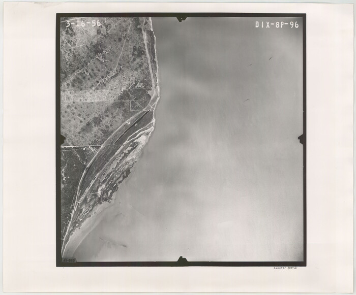

Print $20.00
- Digital $50.00
Flight Mission No. DIX-8P, Frame 96, Aransas County
1956
Size 18.4 x 22.2 inches
Map/Doc 83921
Flight Mission No. DCL-7C, Frame 46, Kenedy County
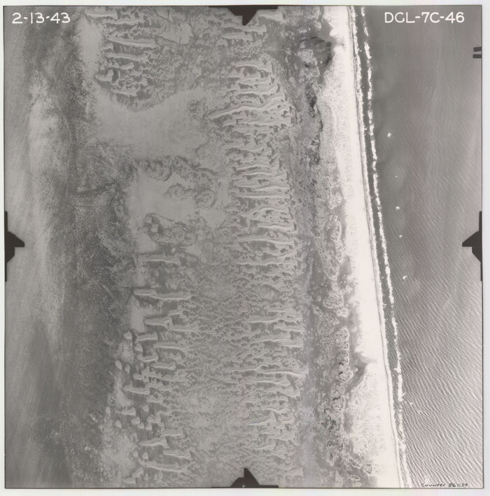

Print $20.00
- Digital $50.00
Flight Mission No. DCL-7C, Frame 46, Kenedy County
1943
Size 15.4 x 15.3 inches
Map/Doc 86034
Kendall County Boundary File 2a
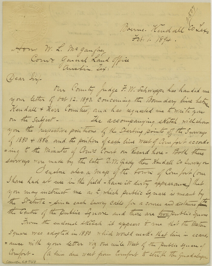

Print $12.00
- Digital $50.00
Kendall County Boundary File 2a
Size 10.0 x 7.9 inches
Map/Doc 55748
You may also like
Dawson County Sketch File 24
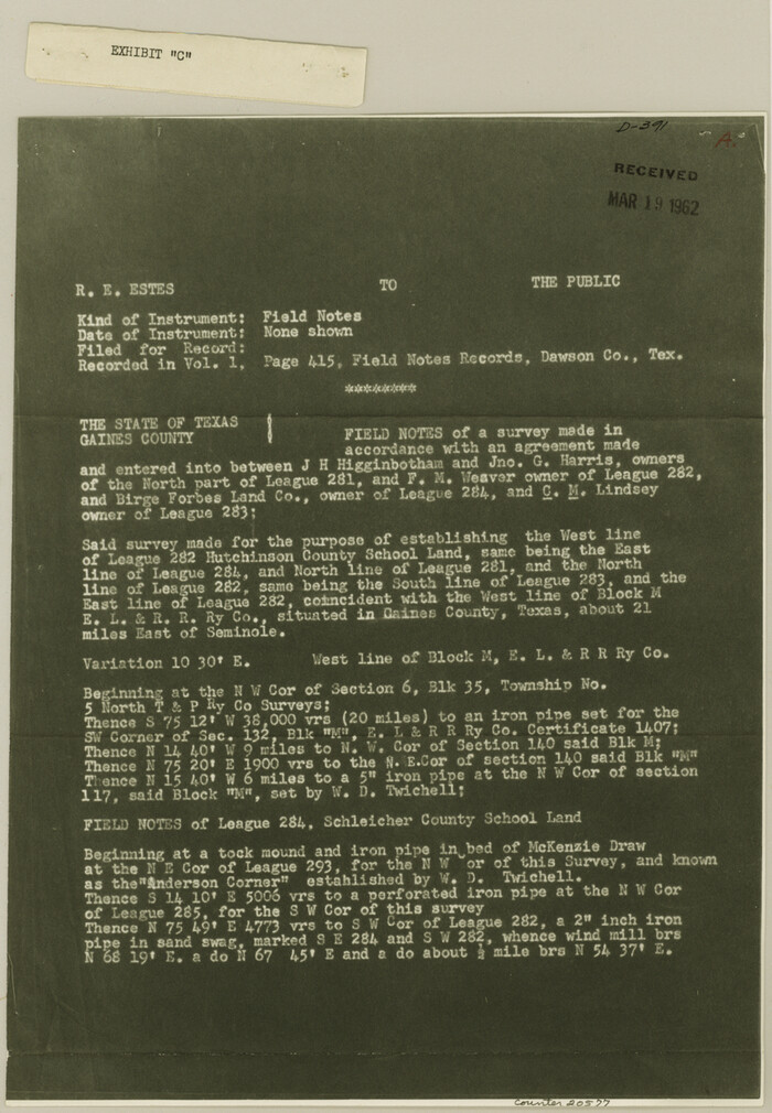

Print $8.00
- Digital $50.00
Dawson County Sketch File 24
Size 12.5 x 8.7 inches
Map/Doc 20577
Map of Port Bolivar


Print $20.00
- Digital $50.00
Map of Port Bolivar
1893
Size 24.9 x 18.5 inches
Map/Doc 2191
Mitchell County Sketch File 14
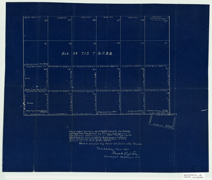

Print $20.00
- Digital $50.00
Mitchell County Sketch File 14
1930
Size 17.5 x 20.5 inches
Map/Doc 12101
Webb County Sketch File 1a


Print $20.00
- Digital $50.00
Webb County Sketch File 1a
1871
Size 23.3 x 18.0 inches
Map/Doc 12623
Flight Mission No. DQN-3K, Frame 73, Calhoun County


Print $20.00
- Digital $50.00
Flight Mission No. DQN-3K, Frame 73, Calhoun County
1953
Size 18.6 x 22.4 inches
Map/Doc 84364
Austin Map and Street Guide [Recto]
![94162, Austin Map and Street Guide [Recto], General Map Collection](https://historictexasmaps.com/wmedia_w700/maps/94162.tif.jpg)
![94162, Austin Map and Street Guide [Recto], General Map Collection](https://historictexasmaps.com/wmedia_w700/maps/94162.tif.jpg)
Austin Map and Street Guide [Recto]
1976
Size 35.4 x 22.7 inches
Map/Doc 94162
Map of Portions of Eastland, Brown and Comanche Counties


Print $20.00
Map of Portions of Eastland, Brown and Comanche Counties
Size 21.7 x 16.7 inches
Map/Doc 88926
Brewster County Rolled Sketch 69


Print $20.00
- Digital $50.00
Brewster County Rolled Sketch 69
1940
Size 17.0 x 15.7 inches
Map/Doc 5235
Kleberg County Rolled Sketch 5
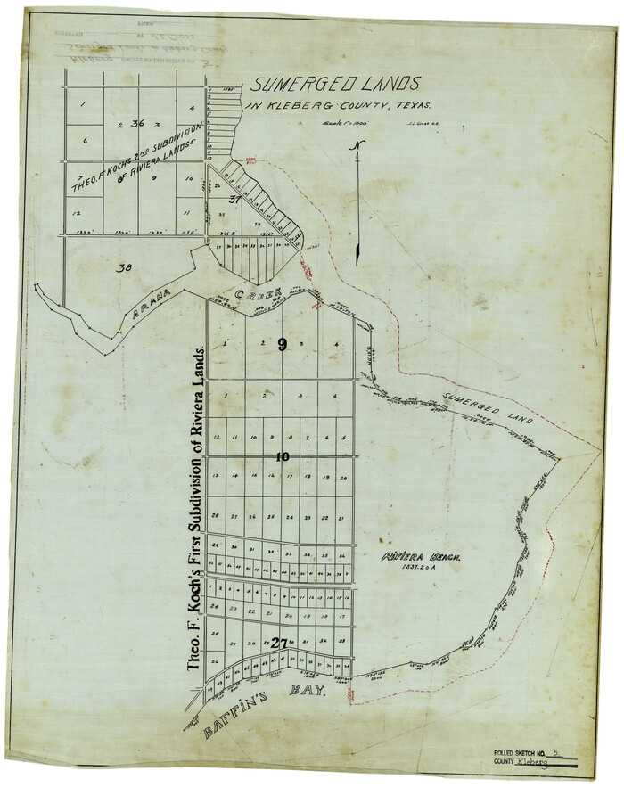

Print $20.00
- Digital $50.00
Kleberg County Rolled Sketch 5
Size 27.8 x 21.8 inches
Map/Doc 6548
Flight Mission No. DQO-3K, Frame 86, Galveston County
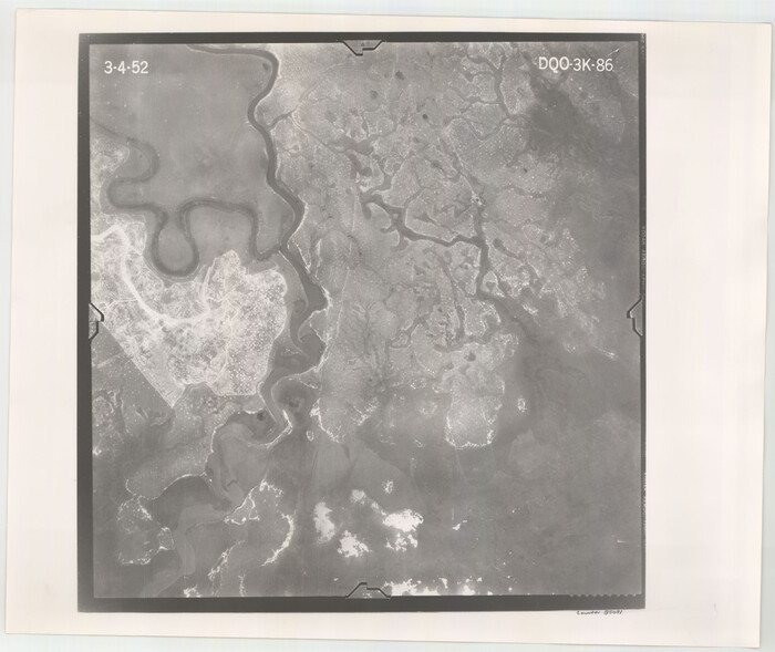

Print $20.00
- Digital $50.00
Flight Mission No. DQO-3K, Frame 86, Galveston County
1952
Size 18.9 x 22.4 inches
Map/Doc 85091
Baylor County Sketch File 1a


Print $8.00
- Digital $50.00
Baylor County Sketch File 1a
1857
Size 8.2 x 7.9 inches
Map/Doc 14144
Flight Mission No. CGI-4N, Frame 21, Cameron County


Print $20.00
- Digital $50.00
Flight Mission No. CGI-4N, Frame 21, Cameron County
1954
Size 18.5 x 22.2 inches
Map/Doc 84654
![94191, California [Verso], General Map Collection](https://historictexasmaps.com/wmedia_w1800h1800/maps/94191.tif.jpg)
![94190, California [Recto], General Map Collection](https://historictexasmaps.com/wmedia_w700/maps/94190.tif.jpg)
