Geographically Correct County Map showing the lines of the Cotton Belt Route (St. Louis Southwestern Railway Co., St. Louis Southwestern Railway Co. of Texas, Tyler Southeastern Railway Co.) and Connections
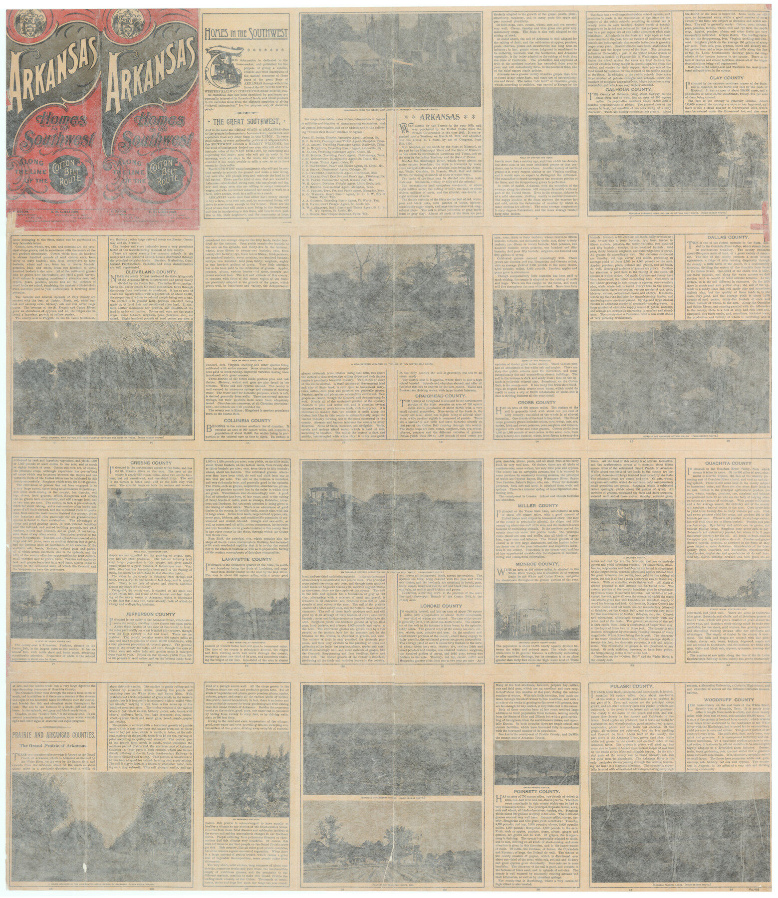
[verso - Arkansas Homes in the Southwest along the line of the Cotton Belt Route]
-
Map/Doc
95148
-
Collection
General Map Collection
-
Object Dates
1900 (Publication Date)
-
People and Organizations
St. Louis Southwestern Railway Company (Publisher)
-
Subjects
Railroads State of Texas
-
Height x Width
35.2 x 30.5 inches
89.4 x 77.5 cm
-
Medium
paper, etching/engraving/lithograph
-
Comments
For map see recto.
Related maps
Geographically Correct County Map showing the lines of the Cotton Belt Route (St. Louis Southwestern Railway Co., St. Louis Southwestern Railway Co. of Texas, Tyler Southeastern Railway Co.) and Connections

Print $20.00
- Digital $50.00
Geographically Correct County Map showing the lines of the Cotton Belt Route (St. Louis Southwestern Railway Co., St. Louis Southwestern Railway Co. of Texas, Tyler Southeastern Railway Co.) and Connections
Size 35.2 x 30.4 inches
Map/Doc 95147
Part of: General Map Collection
Liberty County Working Sketch 53

Print $20.00
- Digital $50.00
Liberty County Working Sketch 53
1959
Size 31.1 x 34.4 inches
Map/Doc 70513
San Augustine County Sketch File 21

Print $4.00
- Digital $50.00
San Augustine County Sketch File 21
1873
Size 12.8 x 7.9 inches
Map/Doc 35685
Edwards County Working Sketch 107

Print $40.00
- Digital $50.00
Edwards County Working Sketch 107
1972
Size 54.5 x 38.8 inches
Map/Doc 68983
Cottle County Rolled Sketch 14

Print $741.00
- Digital $50.00
Cottle County Rolled Sketch 14
1882
Size 10.8 x 16.0 inches
Map/Doc 42369
Terrell County Sketch File 37

Print $4.00
- Digital $50.00
Terrell County Sketch File 37
Size 14.5 x 9.1 inches
Map/Doc 37999
Wheeler County Sketch File 11

Print $47.00
- Digital $50.00
Wheeler County Sketch File 11
1992
Size 11.5 x 9.0 inches
Map/Doc 40014
Chambers County Boundary File 4

Print $34.00
- Digital $50.00
Chambers County Boundary File 4
1909
Size 9.1 x 3.9 inches
Map/Doc 51259
Foard County Sketch File 8

Print $6.00
- Digital $50.00
Foard County Sketch File 8
Size 10.5 x 11.8 inches
Map/Doc 22810
Zavala County Sketch File 21

Print $4.00
- Digital $50.00
Zavala County Sketch File 21
1915
Size 11.5 x 8.8 inches
Map/Doc 41376
Bee County Sketch File X1

Print $20.00
- Digital $50.00
Bee County Sketch File X1
1834
Size 14.2 x 8.9 inches
Map/Doc 14245
Fannin County Working Sketch 7

Print $20.00
- Digital $50.00
Fannin County Working Sketch 7
1952
Size 25.4 x 28.5 inches
Map/Doc 69161
Starr County Working Sketch 18

Print $20.00
- Digital $50.00
Starr County Working Sketch 18
Size 29.5 x 34.3 inches
Map/Doc 63934
You may also like
San Jacinto County Working Sketch 32

Print $20.00
- Digital $50.00
San Jacinto County Working Sketch 32
Size 24.0 x 24.7 inches
Map/Doc 63745
Calcasieu Pass to Sabine Pass
Print $20.00
- Digital $50.00
Calcasieu Pass to Sabine Pass
1966
Size 44.9 x 35.5 inches
Map/Doc 69810
Wilson County Rolled Sketch 2

Print $20.00
- Digital $50.00
Wilson County Rolled Sketch 2
1941
Size 30.4 x 26.1 inches
Map/Doc 8368
Sutton County Sketch File 6

Print $8.00
- Digital $50.00
Sutton County Sketch File 6
1897
Size 14.0 x 9.0 inches
Map/Doc 37358
Terrell County Boundary File 1

Print $12.00
- Digital $50.00
Terrell County Boundary File 1
Size 8.9 x 6.2 inches
Map/Doc 59196
Ward County Rolled Sketch 22

Print $40.00
- Digital $50.00
Ward County Rolled Sketch 22
1873
Size 69.2 x 18.0 inches
Map/Doc 10110

Runnels County Rolled Sketch 36

Print $40.00
- Digital $50.00
Runnels County Rolled Sketch 36
1950
Size 66.6 x 45.0 inches
Map/Doc 9869
Tarrant County Sketch File 3

Print $4.00
- Digital $50.00
Tarrant County Sketch File 3
Size 11.8 x 8.2 inches
Map/Doc 37676
Flight Mission No. DIX-3P, Frame 171, Aransas County

Print $20.00
- Digital $50.00
Flight Mission No. DIX-3P, Frame 171, Aransas County
1956
Size 17.6 x 18.2 inches
Map/Doc 83777
Current Miscellaneous File 98

Print $40.00
- Digital $50.00
Current Miscellaneous File 98
Size 18.4 x 26.3 inches
Map/Doc 74338
Littlefield and White's London Property

Print $20.00
- Digital $50.00
Littlefield and White's London Property
1916
Size 18.5 x 13.0 inches
Map/Doc 75796