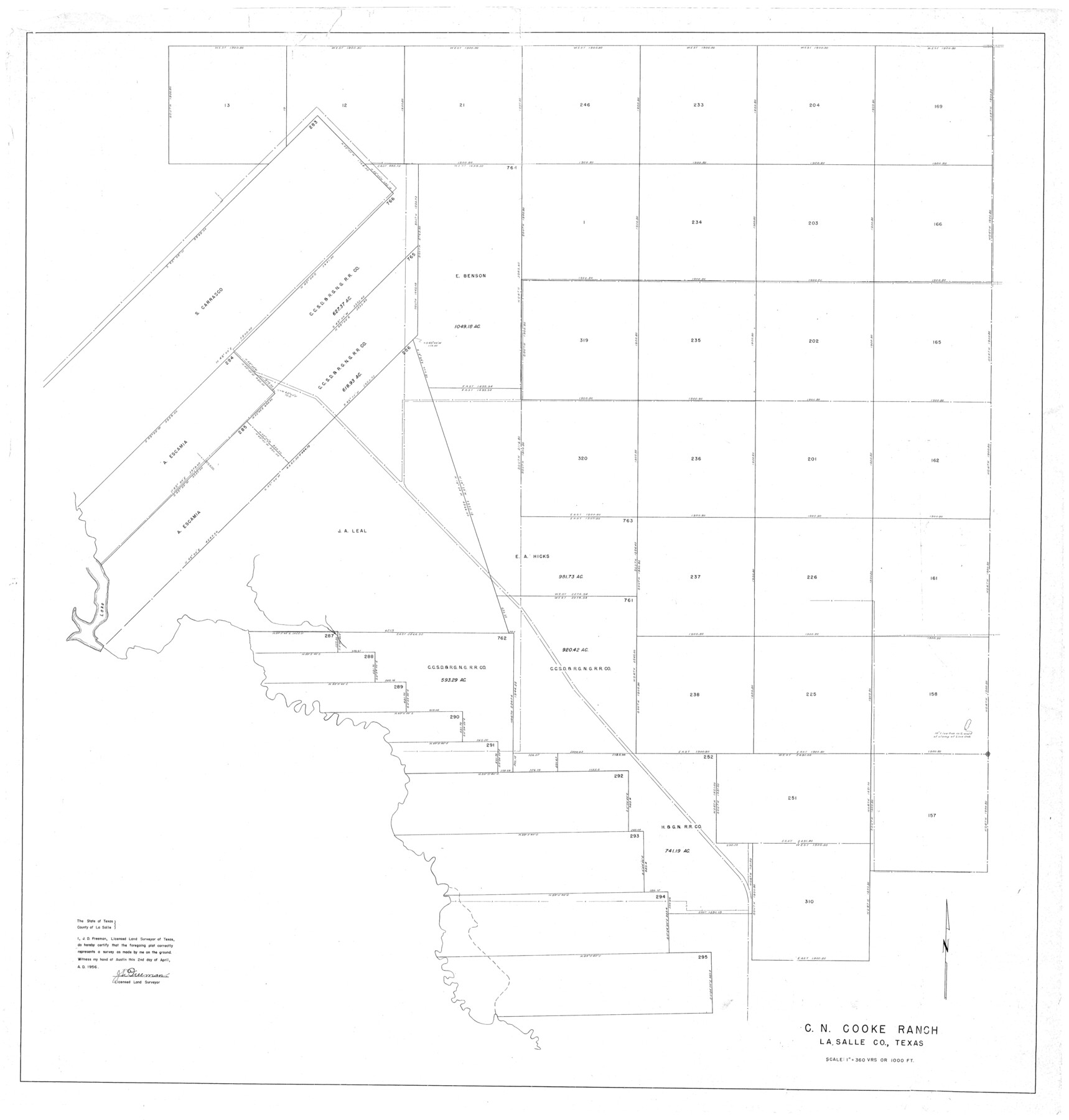
La Salle County Rolled Sketch 28
[Map and report of] C.N. Cooke Ranch
-
Map/Doc
9561
-
Collection
General Map Collection
-
Object Dates
1956/4/3 (Creation Date)
1980/5/23 (File Date)
-
People and Organizations
J.D. Freeman (Surveyor/Engineer)
-
Counties
La Salle
-
Subjects
Surveying Rolled Sketch
-
Height x Width
51.1 x 49.1 inches
129.8 x 124.7 cm
-
Medium
multi-page, multi-format
Part of: General Map Collection
Asher and Adams' Texas

Print $20.00
- Digital $50.00
Asher and Adams' Texas
1871
Size 25.4 x 18.5 inches
Map/Doc 93788
Flight Mission No. DAG-23K, Frame 145, Matagorda County

Print $20.00
- Digital $50.00
Flight Mission No. DAG-23K, Frame 145, Matagorda County
1953
Size 15.7 x 15.8 inches
Map/Doc 86493
Parmer County Sketch File 3

Print $20.00
- Digital $50.00
Parmer County Sketch File 3
1905
Size 17.2 x 14.4 inches
Map/Doc 12153
Map of Texas from the most recent authorities

Print $20.00
- Digital $50.00
Map of Texas from the most recent authorities
1845
Map/Doc 93945
Val Verde County Rolled Sketch 75

Print $20.00
- Digital $50.00
Val Verde County Rolled Sketch 75
1972
Size 28.9 x 40.6 inches
Map/Doc 8138
Matagorda County Rolled Sketch 16A

Print $20.00
- Digital $50.00
Matagorda County Rolled Sketch 16A
Size 23.6 x 41.1 inches
Map/Doc 6683
[Sketch for Mineral Application 35811 - Liberty County, John Mecom]
![65619, [Sketch for Mineral Application 35811 - Liberty County, John Mecom], General Map Collection](https://historictexasmaps.com/wmedia_w700/maps/65619.tif.jpg)
Print $4.00
- Digital $50.00
[Sketch for Mineral Application 35811 - Liberty County, John Mecom]
1941
Size 24.9 x 20.0 inches
Map/Doc 65619
Young County Working Sketch 26

Print $20.00
- Digital $50.00
Young County Working Sketch 26
1982
Size 25.4 x 22.9 inches
Map/Doc 62049
Crockett County Rolled Sketch S

Print $20.00
- Digital $50.00
Crockett County Rolled Sketch S
Size 8.3 x 21.2 inches
Map/Doc 5639
Gaines County Rolled Sketch 35

Print $20.00
- Digital $50.00
Gaines County Rolled Sketch 35
2014
Size 18.7 x 25.9 inches
Map/Doc 93695
Gillespie County Working Sketch Graphic Index

Print $20.00
- Digital $50.00
Gillespie County Working Sketch Graphic Index
1945
Size 38.0 x 47.4 inches
Map/Doc 76553
Bexar County Rolled Sketch 6

Print $40.00
- Digital $50.00
Bexar County Rolled Sketch 6
Size 36.6 x 54.9 inches
Map/Doc 81902
You may also like

[Sketch of part of G. & M. Block 5]
![93096, [Sketch of part of G. & M. Block 5], Twichell Survey Records](https://historictexasmaps.com/wmedia_w700/maps/93096-1.tif.jpg)
Print $2.00
- Digital $50.00
[Sketch of part of G. & M. Block 5]
Size 8.1 x 9.3 inches
Map/Doc 93096
Polk County Working Sketch 4

Print $20.00
- Digital $50.00
Polk County Working Sketch 4
1925
Size 46.3 x 42.6 inches
Map/Doc 71619
Angelina County

Print $40.00
- Digital $50.00
Angelina County
1945
Size 38.9 x 49.3 inches
Map/Doc 77200
Henderson County Working Sketch 43

Print $20.00
- Digital $50.00
Henderson County Working Sketch 43
1994
Size 36.7 x 39.0 inches
Map/Doc 66176
Flight Mission No. BRE-2P, Frame 106, Nueces County

Print $20.00
- Digital $50.00
Flight Mission No. BRE-2P, Frame 106, Nueces County
1956
Size 18.7 x 22.8 inches
Map/Doc 86791
Industrial Site, Imperial State Prison Farm, Sugarland, Texas

Print $20.00
- Digital $50.00
Industrial Site, Imperial State Prison Farm, Sugarland, Texas
Size 26.6 x 27.5 inches
Map/Doc 73562
Republic Counties. January 1, 1843

Print $20.00
Republic Counties. January 1, 1843
2020
Size 24.5 x 21.7 inches
Map/Doc 96316
Flight Mission No. CUG-1P, Frame 50, Kleberg County

Print $20.00
- Digital $50.00
Flight Mission No. CUG-1P, Frame 50, Kleberg County
1956
Size 18.6 x 22.3 inches
Map/Doc 86128
Harris County Historic Topographic 1

Print $20.00
- Digital $50.00
Harris County Historic Topographic 1
1916
Size 29.3 x 22.7 inches
Map/Doc 65811
Crockett County Rolled Sketch 56

Print $20.00
- Digital $50.00
Crockett County Rolled Sketch 56
1944
Size 24.2 x 31.1 inches
Map/Doc 5599
Washington County

Print $40.00
- Digital $50.00
Washington County
1920
Size 33.4 x 48.6 inches
Map/Doc 63112