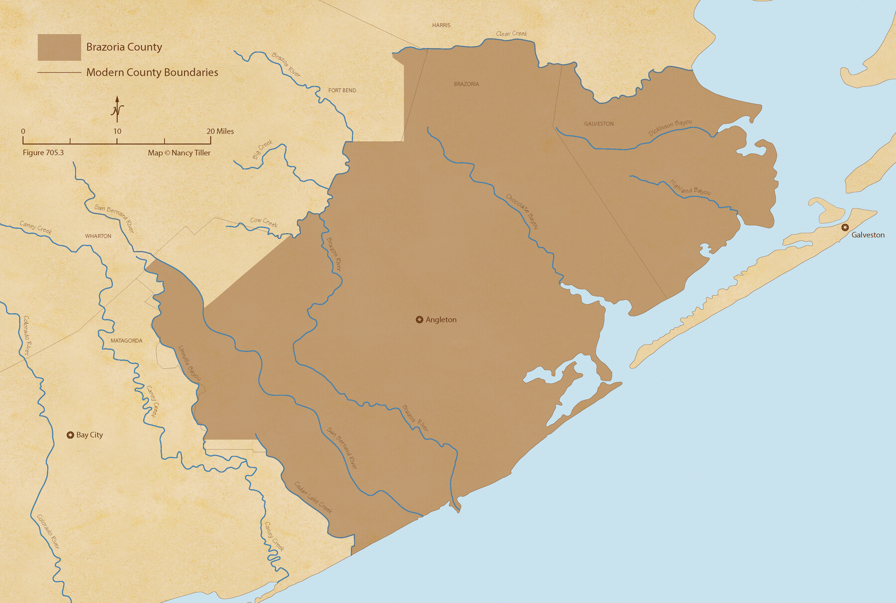
The Republic County of Brazoria. January 1, 1838
Figure No. 705.3 from 'A Boundary Atlas of Texas, 1821-1845' by Jim Tiller
-
Map/Doc
96111
-
Collection
Nancy and Jim Tiller Digital Collection
-
Object Dates
2020/1/1 (Creation Date)
-
People and Organizations
Jim Tiller (Author)
Nancy Tiller (Cartographer)
Gang Gong (GIS Professional)
-
Counties
Brazoria
-
Subjects
Atlas County Republic of Texas Texas Boundaries
-
Height x Width
14.7 x 21.8 inches
37.3 x 55.4 cm
-
Medium
digital image
-
Comments
To purchase a digital PDF copy of "A Boundary Atlas of Texas, 1821-1845" see 96437.
Part of: Nancy and Jim Tiller Digital Collection
The Republic County of Galveston. December 16, 1839

Print $20.00
The Republic County of Galveston. December 16, 1839
2020
Size 14.7 x 21.9 inches
Map/Doc 96144
The Republic County of Liberty. January 22, 1841

Print $20.00
The Republic County of Liberty. January 22, 1841
2020
Size 19.9 x 21.7 inches
Map/Doc 96210
The Judicial District/County of Lavaca. Created, January 29, 1842

Print $20.00
The Judicial District/County of Lavaca. Created, January 29, 1842
2020
Size 14.6 x 21.7 inches
Map/Doc 96331
The Judicial District/County of DeWitt. Abolished, Spring 1842

Print $20.00
The Judicial District/County of DeWitt. Abolished, Spring 1842
2020
Size 22.4 x 21.7 inches
Map/Doc 96326
The Republic County of Bowie. January 28, 1841

Print $20.00
The Republic County of Bowie. January 28, 1841
2020
Size 19.5 x 21.7 inches
Map/Doc 96103
The Land Offices. No. 6, Washington, December 22, 1836

Print $20.00
The Land Offices. No. 6, Washington, December 22, 1836
2020
Size 16.5 x 21.7 inches
Map/Doc 96419
The Republic County of Austin. February 5, 1840

Print $20.00
The Republic County of Austin. February 5, 1840
2020
Size 14.7 x 21.7 inches
Map/Doc 96084
The Chief Justice County of Harrisburg. January 30, 1837

Print $20.00
The Chief Justice County of Harrisburg. January 30, 1837
2020
Size 17.5 x 21.7 inches
Map/Doc 96049
The Republic County of Jackson. December 24, 1844

Print $20.00
The Republic County of Jackson. December 24, 1844
2020
Size 15.6 x 21.8 inches
Map/Doc 96191
The Republic County of Brazoria. January 20, 1841

Print $20.00
The Republic County of Brazoria. January 20, 1841
2020
Size 14.7 x 21.8 inches
Map/Doc 96114
The Republic County of Goliad. Boundaries Defined, December 2, 1841

Print $20.00
The Republic County of Goliad. Boundaries Defined, December 2, 1841
2020
Size 17.5 x 21.7 inches
Map/Doc 96151
The Republic County of Robertson. Spring 1842

Print $20.00
The Republic County of Robertson. Spring 1842
2020
Size 16.9 x 21.7 inches
Map/Doc 96263
You may also like
Gonzales County

Print $20.00
- Digital $50.00
Gonzales County
1871
Size 17.2 x 25.8 inches
Map/Doc 3593
Laneer vs. Bivins, Potter County, Texas

Print $20.00
- Digital $50.00
Laneer vs. Bivins, Potter County, Texas
Size 21.1 x 18.7 inches
Map/Doc 93098
San Antonio - Downtown - Riverwalk

San Antonio - Downtown - Riverwalk
Size 11.8 x 17.9 inches
Map/Doc 94289
Rains County Working Sketch 2

Print $20.00
- Digital $50.00
Rains County Working Sketch 2
Size 14.0 x 12.2 inches
Map/Doc 71828
Midland County Working Sketch 16

Print $40.00
- Digital $50.00
Midland County Working Sketch 16
1953
Size 61.7 x 32.6 inches
Map/Doc 70996
Map of T. C. Ivey's Ranch Block D - John H. Gibson

Print $20.00
- Digital $50.00
Map of T. C. Ivey's Ranch Block D - John H. Gibson
Size 13.9 x 14.0 inches
Map/Doc 92853
Nueces County Rolled Sketch 13

Print $20.00
- Digital $50.00
Nueces County Rolled Sketch 13
1930
Size 26.5 x 18.5 inches
Map/Doc 6869
Fractional Township No. 9 South Range No. 9 East of the Indian Meridian, Indian Territory

Print $20.00
- Digital $50.00
Fractional Township No. 9 South Range No. 9 East of the Indian Meridian, Indian Territory
1898
Size 19.2 x 24.4 inches
Map/Doc 75216
Swisher County Rolled Sketch B

Print $20.00
- Digital $50.00
Swisher County Rolled Sketch B
Size 19.1 x 19.7 inches
Map/Doc 7908
Galveston County NRC Article 33.136 Sketch 36

Print $28.00
- Digital $50.00
Galveston County NRC Article 33.136 Sketch 36
2005
Size 24.5 x 36.6 inches
Map/Doc 83409
Carson County Sketch File 8

Print $6.00
- Digital $50.00
Carson County Sketch File 8
1931
Size 11.2 x 8.6 inches
Map/Doc 17389
Galveston County Sketch File 5a

Print $4.00
- Digital $50.00
Galveston County Sketch File 5a
1847
Size 12.6 x 8.2 inches
Map/Doc 23360