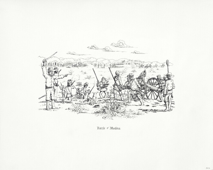
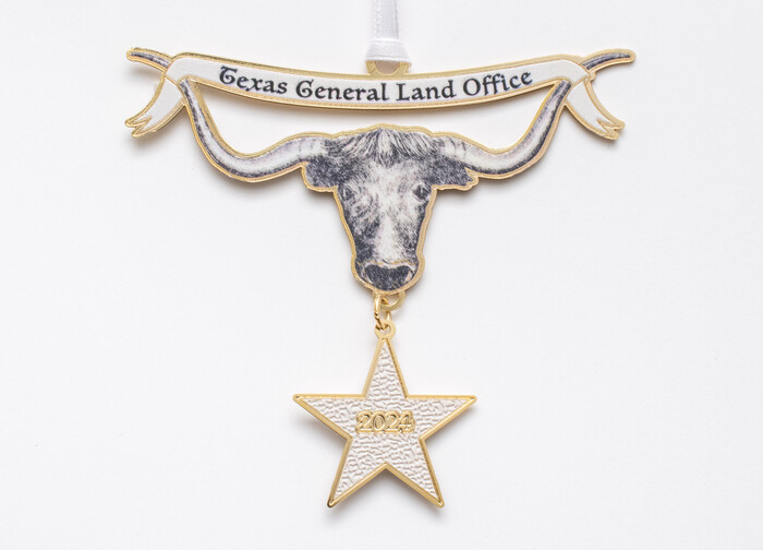
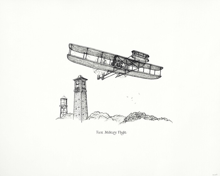
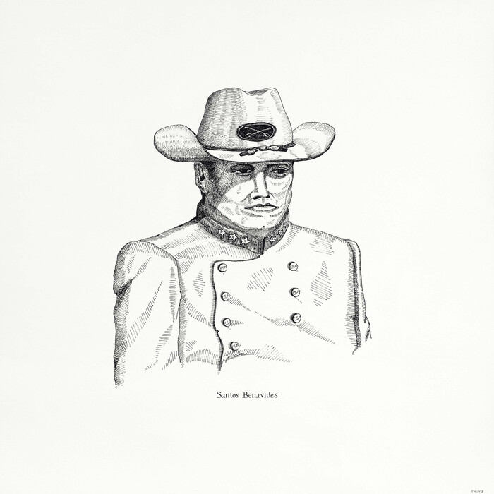
2025 Save Texas History™ Map Calendar
This full-color glossy 12-month calendar features a beautiful historic map for every month and is packed with Texas history facts for every day of the year. Great for home, office or classroom, this collectible makes the perfect gift. Calendar includes regional, state, county and city maps.
-
Map/Doc
97356
-
Collection
Save Texas History Collectibles
-
Object Dates
2024 (Creation Date)
-
People and Organizations
Dawn Buckingham, MD (GLO Commissioner)
Texas General Land Office (Publisher)
-
Height x Width
11.0 x 8.5 inches
27.9 x 21.6 cm
-
Medium
calendar
Part of: Save Texas History Collectibles
The Star of Llano County
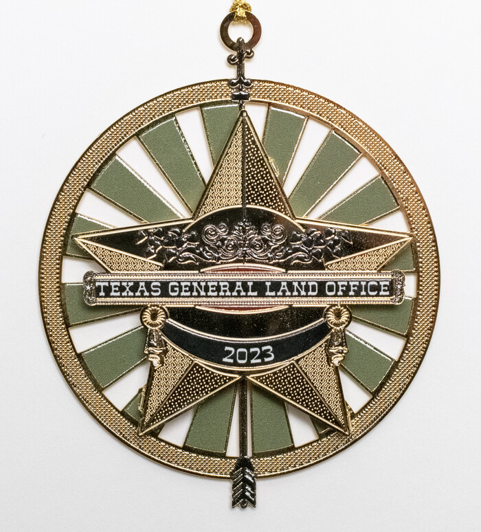

Price $20.00
The Star of Llano County
2023
Size 3.3 x 2.8 inches
Map/Doc 97175
"Capture of Cynthia Ann Parker"
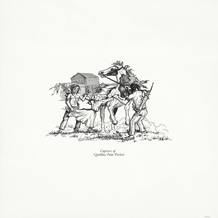

Print $20.00
"Capture of Cynthia Ann Parker"
Size 20.0 x 16.0 inches
Map/Doc 94150
"Pancho Villa Meets Genl. John J. Pershing"
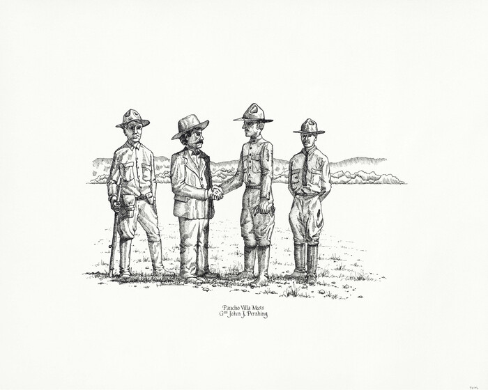

Print $20.00
"Pancho Villa Meets Genl. John J. Pershing"
Size 16.0 x 20.0 inches
Map/Doc 94146
Catalogue of the Spanish Collection of the Texas General Land Office
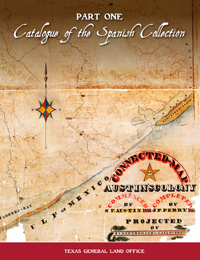

Price $15.00
Catalogue of the Spanish Collection of the Texas General Land Office
2003
Size 10.8 x 8.5 inches
Map/Doc 83386
2025 Save Texas History™ Map Calendar
.jpg)
.jpg)
Price $5.00
2025 Save Texas History™ Map Calendar
2024
Size 11.0 x 8.5 inches
Map/Doc 97356
Connecting Texas: 300 Years of Trails, Rails & Roads - An Exhibit Guide
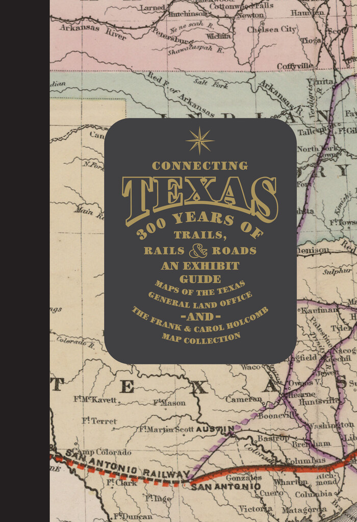

Connecting Texas: 300 Years of Trails, Rails & Roads - An Exhibit Guide
2018
Size 9.5 x 6.5 inches
Map/Doc 94454
Energy Map of Texas Ornament


Price $20.00
Energy Map of Texas Ornament
2021
Size 2.5 x 2.5 inches
Map/Doc 96574
You may also like
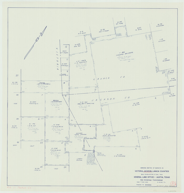
Jackson County Working Sketch 8

Print $20.00
- Digital $50.00
Jackson County Working Sketch 8
Size 30.4 x 29.0 inches
Map/Doc 66456
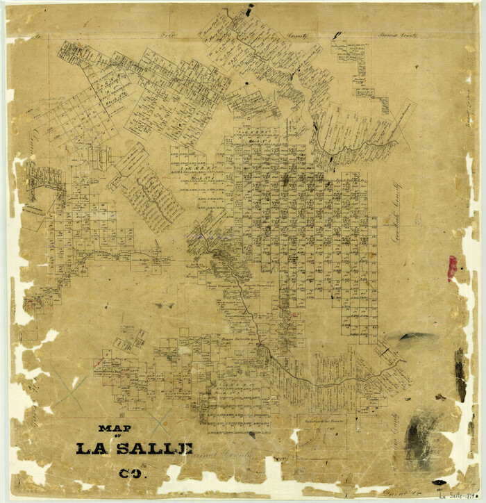
Map of La Salle County

Print $20.00
- Digital $50.00
Map of La Salle County
1879
Size 26.2 x 25.3 inches
Map/Doc 3799
English Field Notes of the Spanish Archives - Books SAS, DB4, GWS, JWB, and JWB3


English Field Notes of the Spanish Archives - Books SAS, DB4, GWS, JWB, and JWB3
1835
Map/Doc 96551
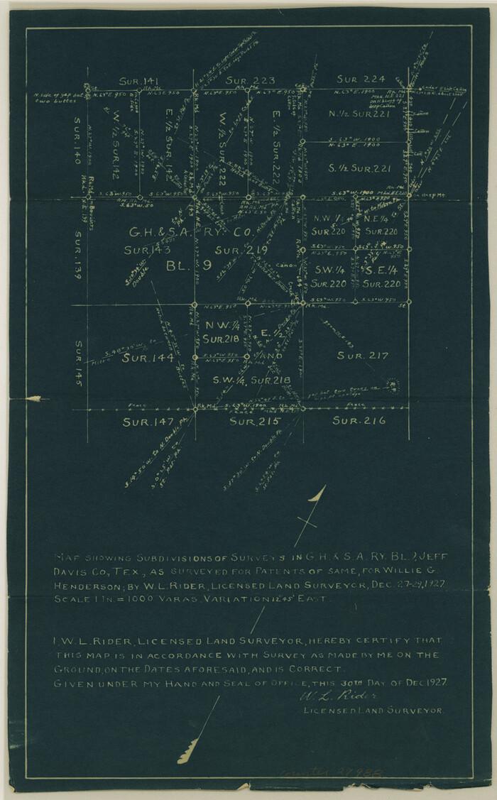
Jeff Davis County Sketch File 21

Print $4.00
- Digital $50.00
Jeff Davis County Sketch File 21
1927
Size 14.1 x 8.8 inches
Map/Doc 27988
Kaufman County Working Sketch 6
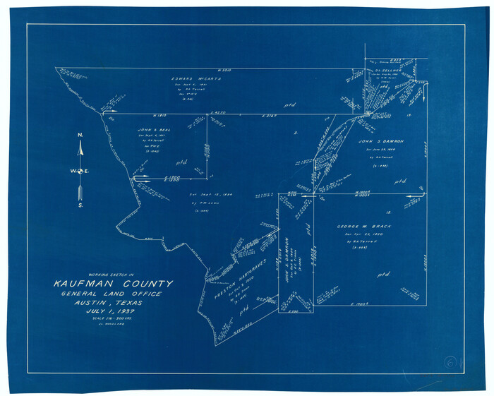

Print $20.00
- Digital $50.00
Kaufman County Working Sketch 6
Size 22.4 x 27.9 inches
Map/Doc 66669
Real County Sketch File 1
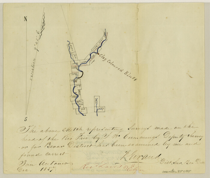

Print $6.00
- Digital $50.00
Real County Sketch File 1
1857
Size 8.2 x 9.6 inches
Map/Doc 35035
Fisher County Working Sketch 18
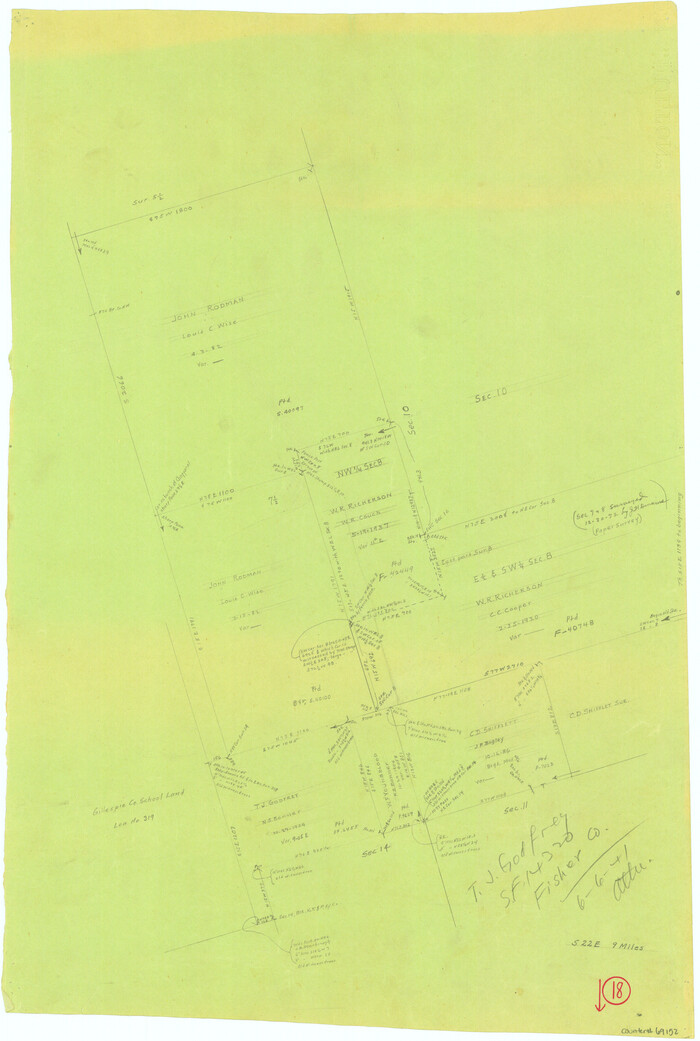

Print $20.00
- Digital $50.00
Fisher County Working Sketch 18
1941
Size 24.7 x 16.6 inches
Map/Doc 69152
[Sketch Showing Loma Blanca and San Antonio de Encinal Leagues, Brooks County, Texas]
![4448, [Sketch Showing Loma Blanca and San Antonio de Encinal Leagues, Brooks County, Texas], Maddox Collection](https://historictexasmaps.com/wmedia_w700/maps/4448-1.tif.jpg)
![4448, [Sketch Showing Loma Blanca and San Antonio de Encinal Leagues, Brooks County, Texas], Maddox Collection](https://historictexasmaps.com/wmedia_w700/maps/4448-1.tif.jpg)
Print $3.00
- Digital $50.00
[Sketch Showing Loma Blanca and San Antonio de Encinal Leagues, Brooks County, Texas]
1912
Size 15.1 x 11.4 inches
Map/Doc 4448
Edwards County Sketch File 12b
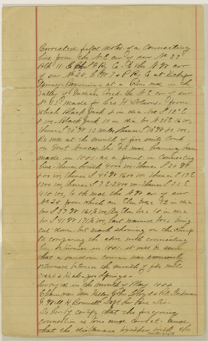

Print $4.00
- Digital $50.00
Edwards County Sketch File 12b
Size 14.4 x 8.8 inches
Map/Doc 21698
Nolan County Working Sketch 4


Print $20.00
- Digital $50.00
Nolan County Working Sketch 4
Size 21.6 x 28.9 inches
Map/Doc 71295
Sketch of Garza Co.


Print $3.00
- Digital $50.00
Sketch of Garza Co.
1884
Size 12.3 x 10.2 inches
Map/Doc 468
Yellowhouse Addition to Littlefield, Texas Located on Labors 12 & 13 Capitol League 664


Print $20.00
- Digital $50.00
Yellowhouse Addition to Littlefield, Texas Located on Labors 12 & 13 Capitol League 664
1925
Size 26.9 x 26.7 inches
Map/Doc 92402
.jpg)
