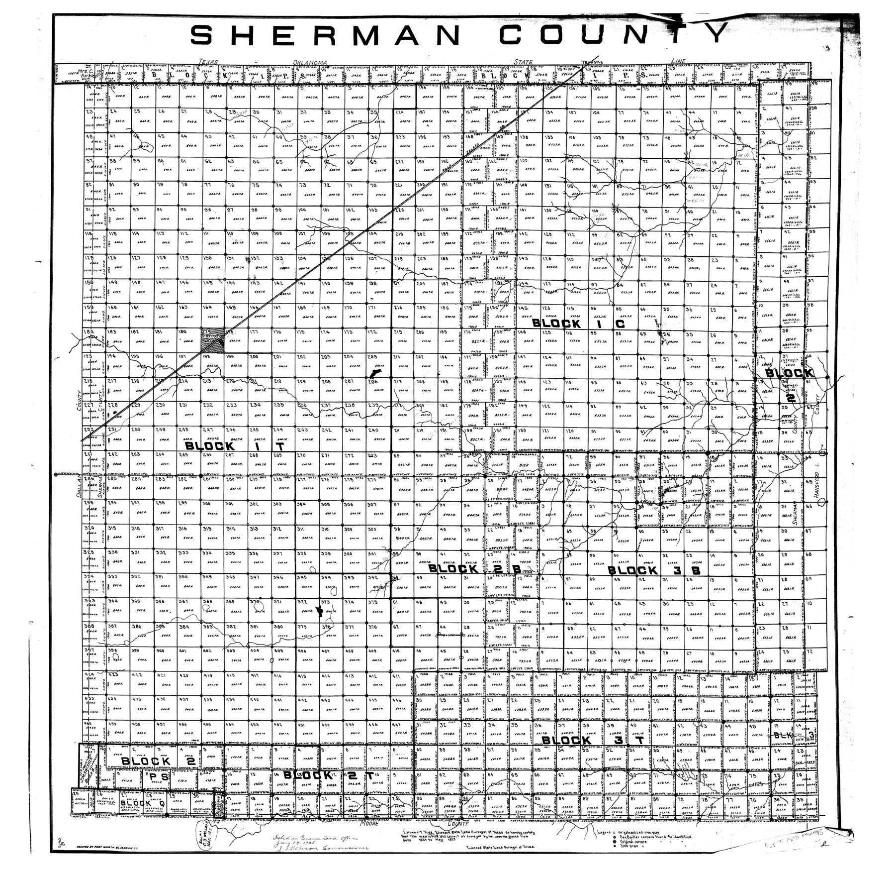
Sherman County Rolled Sketch 11
Sherman County
-
Map/Doc
9930
-
Collection
General Map Collection
-
Object Dates
1925 (Survey Date)
1925/7/24 (File Date)
-
People and Organizations
Fort Worth Blueprint Co. (Printer)
Howard T. Trigg (Surveyor/Engineer)
-
Counties
Sherman
-
Subjects
County Surveying Rolled Sketch
-
Height x Width
34.0 x 35.0 inches
86.4 x 88.9 cm
Part of: General Map Collection
Prison Property, Walker County

Print $20.00
- Digital $50.00
Prison Property, Walker County
Size 32.6 x 22.7 inches
Map/Doc 94279
Duval County Working Sketch 36

Print $20.00
- Digital $50.00
Duval County Working Sketch 36
1957
Size 36.1 x 26.0 inches
Map/Doc 68760
Palo Pinto County Sketch File 1

Print $20.00
- Digital $50.00
Palo Pinto County Sketch File 1
Size 18.8 x 23.5 inches
Map/Doc 12131


[Surveys in the Bexar District along Hondo and Seco Creeks]
![314, [Surveys in the Bexar District along Hondo and Seco Creeks], General Map Collection](https://historictexasmaps.com/wmedia_w700/maps/314.tif.jpg)
Print $3.00
- Digital $50.00
[Surveys in the Bexar District along Hondo and Seco Creeks]
1847
Size 9.3 x 9.9 inches
Map/Doc 314
Henderson County Working Sketch 26

Print $20.00
- Digital $50.00
Henderson County Working Sketch 26
1954
Size 23.8 x 23.5 inches
Map/Doc 66159
Tanglewood, Station Map-Tracks & Structures-Lands, San Antonio & Aransas Pass Railway Co., Station 4804+179 to Station 4856+179

Print $4.00
- Digital $50.00
Tanglewood, Station Map-Tracks & Structures-Lands, San Antonio & Aransas Pass Railway Co., Station 4804+179 to Station 4856+179
1919
Size 11.7 x 18.6 inches
Map/Doc 62569
Map of Blanco County

Print $20.00
- Digital $50.00
Map of Blanco County
1880
Size 23.9 x 18.2 inches
Map/Doc 3306
Lamar County State Real Property Sketch 1

Print $20.00
- Digital $50.00
Lamar County State Real Property Sketch 1
2013
Size 24.0 x 36.0 inches
Map/Doc 93656
Part of the boundary between the United States and Texas: from Sabine River northward to the 36th mile mound (A.2)

Print $2.00
- Digital $50.00
Part of the boundary between the United States and Texas: from Sabine River northward to the 36th mile mound (A.2)
1842
Size 12.5 x 7.3 inches
Map/Doc 65387
Haskell County Sketch File 15a

Print $4.00
- Digital $50.00
Haskell County Sketch File 15a
Size 9.8 x 8.6 inches
Map/Doc 26161
You may also like
Irion County Rolled Sketch 18A

Print $20.00
- Digital $50.00
Irion County Rolled Sketch 18A
Size 45.5 x 29.8 inches
Map/Doc 6327
Nueces County Rolled Sketch 51B

Print $20.00
- Digital $50.00
Nueces County Rolled Sketch 51B
Size 17.6 x 16.0 inches
Map/Doc 6891
General Highway Map Cochran County, Texas

Print $20.00
- Digital $50.00
General Highway Map Cochran County, Texas
1948
Size 18.7 x 25.6 inches
Map/Doc 92498
Anderson County Working Sketch 13

Print $20.00
- Digital $50.00
Anderson County Working Sketch 13
1930
Size 34.0 x 21.9 inches
Map/Doc 67013
Martin County Boundary File 1

Print $10.00
- Digital $50.00
Martin County Boundary File 1
Size 11.2 x 8.7 inches
Map/Doc 56757
General Highway Map, Van Zandt County, Texas

Print $20.00
General Highway Map, Van Zandt County, Texas
1961
Size 18.2 x 24.8 inches
Map/Doc 79696
Orange County Working Sketch 30

Print $20.00
- Digital $50.00
Orange County Working Sketch 30
1953
Size 19.7 x 34.2 inches
Map/Doc 71362
Sheet 2 copied from Peck Book 6 [Strip Map showing T. & P. connecting lines]
![93172, Sheet 2 copied from Peck Book 6 [Strip Map showing T. & P. connecting lines], Twichell Survey Records](https://historictexasmaps.com/wmedia_w700/maps/93172-1.tif.jpg)
Print $40.00
- Digital $50.00
Sheet 2 copied from Peck Book 6 [Strip Map showing T. & P. connecting lines]
1909
Size 6.5 x 53.9 inches
Map/Doc 93172
Souvenir - Opening and Dedication of the General Oil Company's New West Texas Oil Field

Souvenir - Opening and Dedication of the General Oil Company's New West Texas Oil Field
1920
Map/Doc 97263
Rusk County Sketch File 36

Print $20.00
Rusk County Sketch File 36
1950
Size 23.8 x 18.0 inches
Map/Doc 12274
Fort Bend County Rolled Sketch 7

Print $20.00
- Digital $50.00
Fort Bend County Rolled Sketch 7
1919
Size 21.1 x 24.0 inches
Map/Doc 5898
[Sketch showing position of 287.2 acres of land surveyed for W. D. Twichell]
![91904, [Sketch showing position of 287.2 acres of land surveyed for W. D. Twichell], Twichell Survey Records](https://historictexasmaps.com/wmedia_w700/maps/91904-2.tif.jpg)
Print $2.00
- Digital $50.00
[Sketch showing position of 287.2 acres of land surveyed for W. D. Twichell]
1919
Size 15.2 x 7.3 inches
Map/Doc 91904