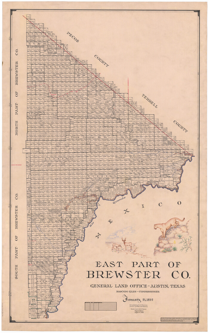
East Part of Brewster Co.
1952
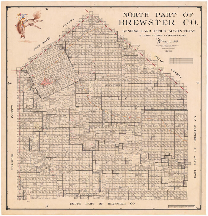
North Part of Brewster Co.
1956
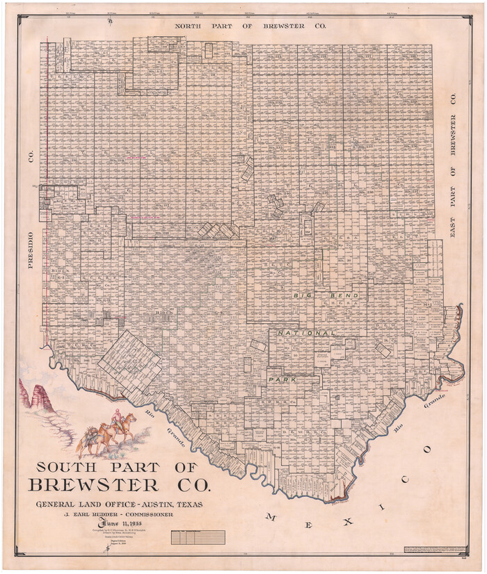
South Part of Brewster Co.
1955
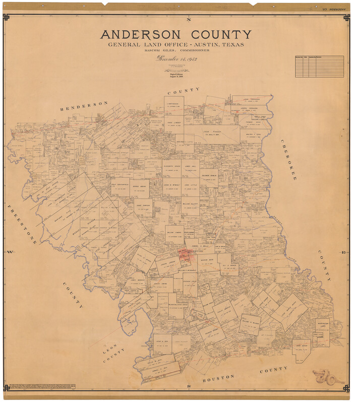
Anderson County
1942
-
Size
54.8 x 48.8 inches
-
Map/Doc
95415
-
Creation Date
1942

Andrews County
1951
-
Size
43.7 x 55.4 inches
-
Map/Doc
95416
-
Creation Date
1951

Angelina County
1945
-
Size
40.2 x 49.7 inches
-
Map/Doc
95417
-
Creation Date
1945
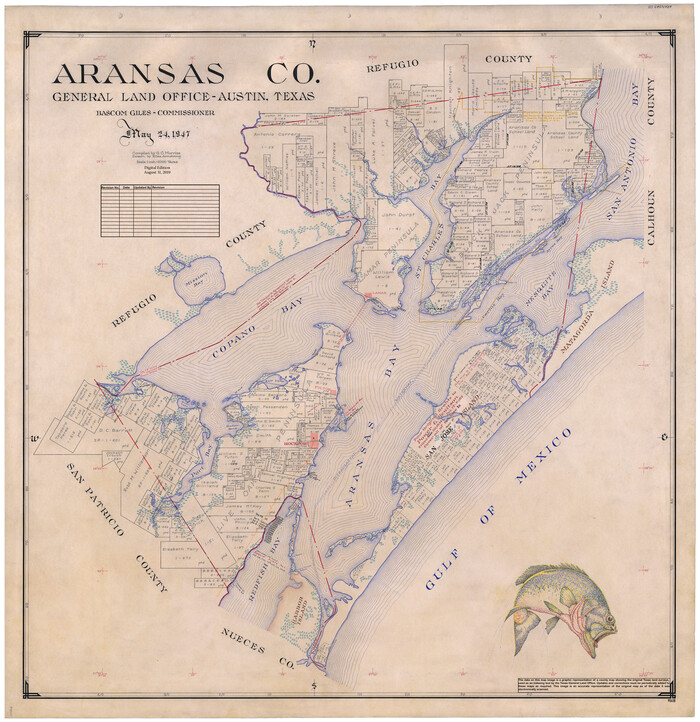
Aransas Co.
1947
-
Size
38.6 x 37.4 inches
-
Map/Doc
95418
-
Creation Date
1947
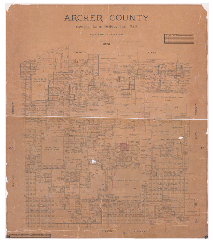
Archer County
1926
-
Size
43.7 x 37.9 inches
-
Map/Doc
95419
-
Creation Date
1926
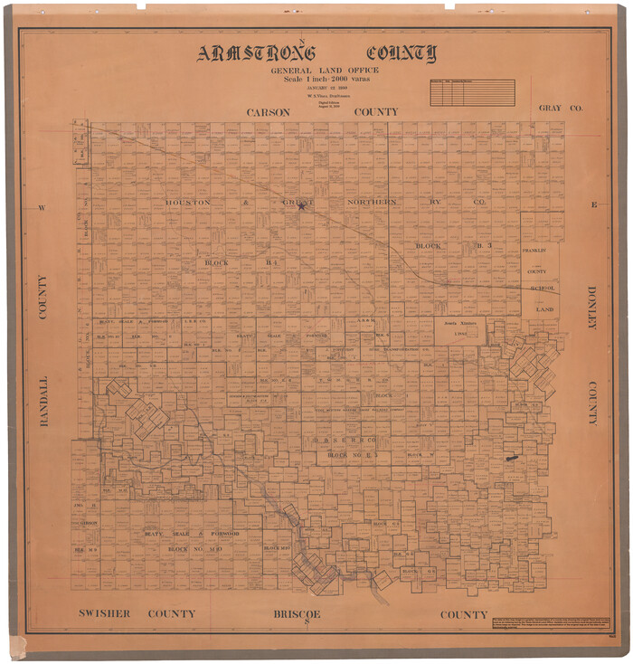
Armstrong County
1933
-
Size
43.2 x 41.2 inches
-
Map/Doc
95420
-
Creation Date
1933

Atascosa County
1948
-
Size
47.2 x 46.3 inches
-
Map/Doc
95421
-
Creation Date
1948
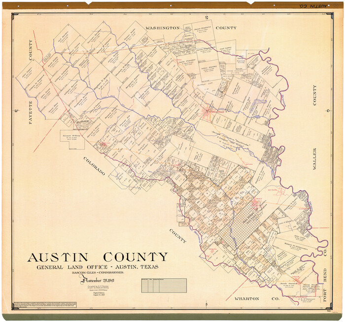
Austin County
1943
-
Size
40.2 x 43.0 inches
-
Map/Doc
95422
-
Creation Date
1943

Bailey County
1956
-
Size
49.4 x 31.4 inches
-
Map/Doc
95423
-
Creation Date
1956
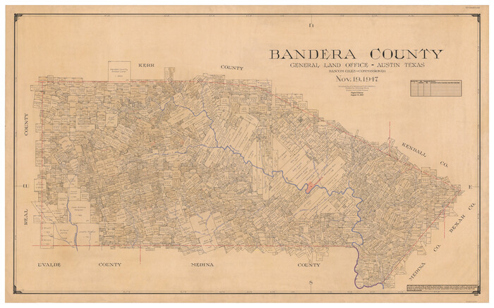
Bandera County
1947
-
Size
34.2 x 55.3 inches
-
Map/Doc
95424
-
Creation Date
1947
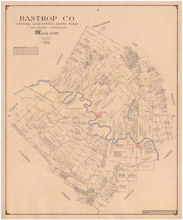
Bastrop Co.
1955
-
Size
50.8 x 42.3 inches
-
Map/Doc
95425
-
Creation Date
1955

Baylor County
1961
-
Size
43.0 x 35.2 inches
-
Map/Doc
95426
-
Creation Date
1961

Bee County
1950
-
Size
43.0 x 46.9 inches
-
Map/Doc
95427
-
Creation Date
1950
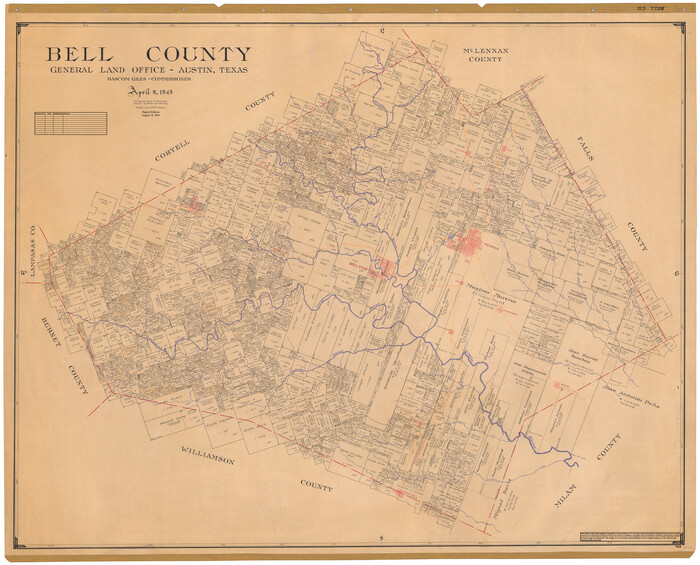
Bell County
1945
-
Size
43.8 x 54.3 inches
-
Map/Doc
95428
-
Creation Date
1945

Bexar County
1932
-
Size
46.7 x 41.1 inches
-
Map/Doc
95429
-
Creation Date
1932
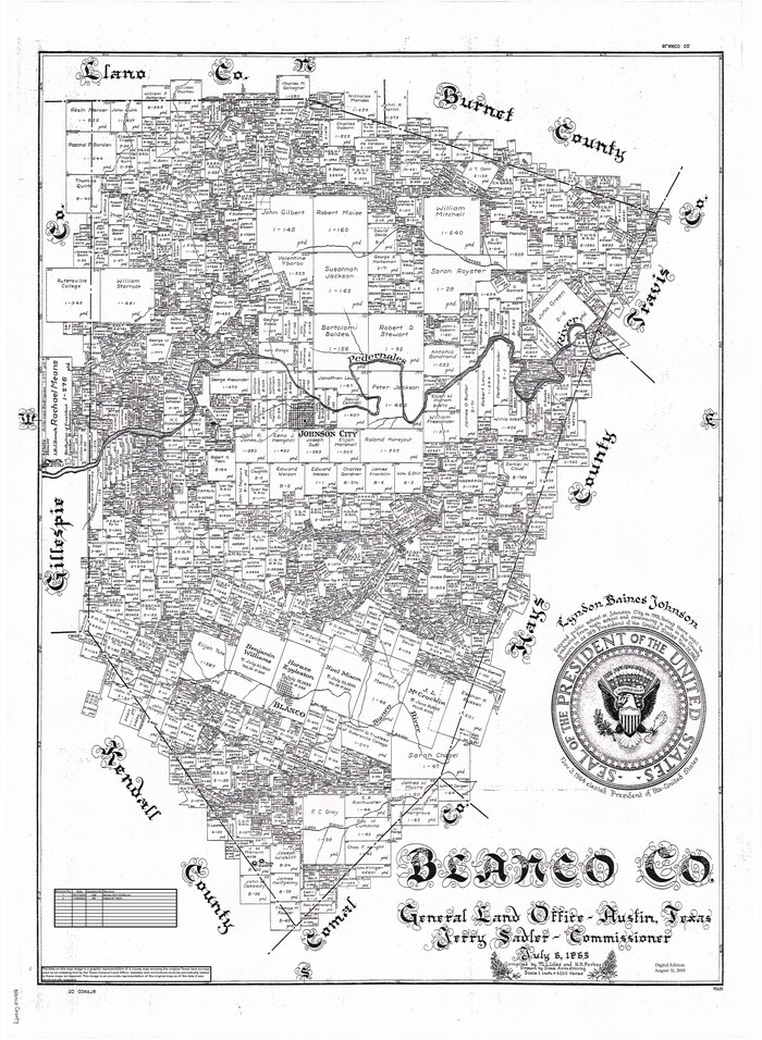
Blanco Co.
1965
-
Size
27.8 x 20.5 inches
-
Map/Doc
95430
-
Creation Date
1965
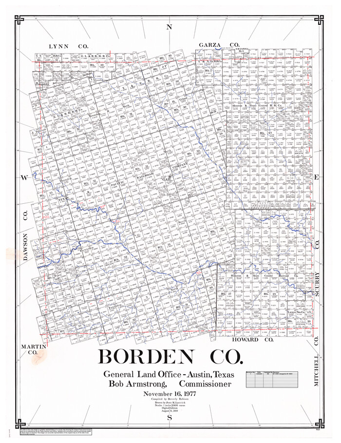
Borden Co.
1977
-
Size
46.5 x 35.2 inches
-
Map/Doc
95431
-
Creation Date
1977

Bosque County
1945
-
Size
48.8 x 38.7 inches
-
Map/Doc
95432
-
Creation Date
1945
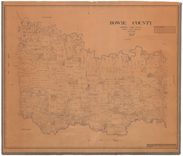
Bowie County
1933
-
Size
40.9 x 48.1 inches
-
Map/Doc
95433
-
Creation Date
1933
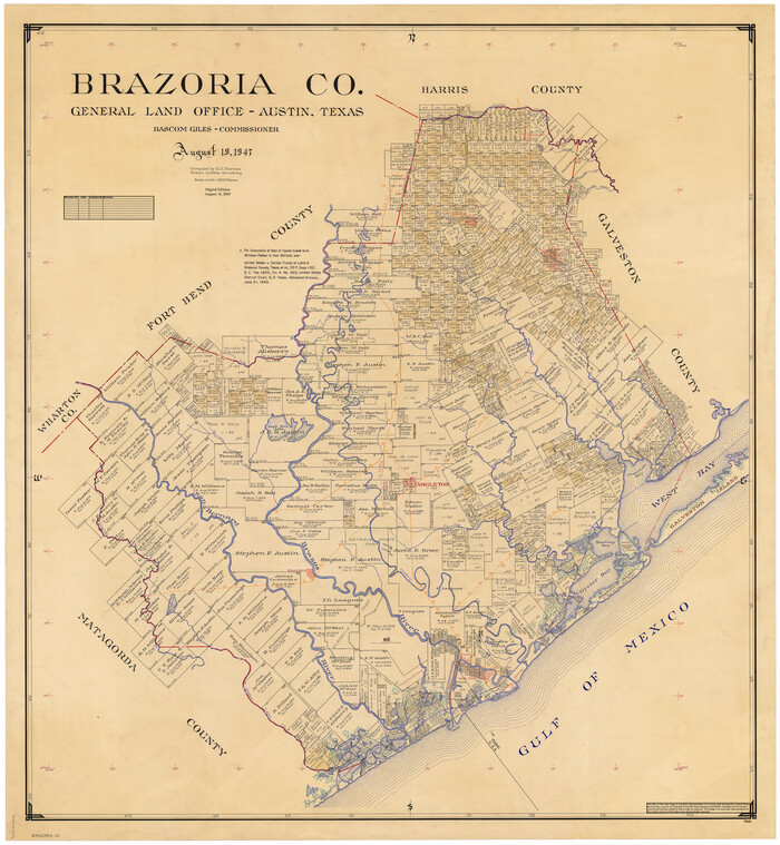
Brazoria Co.
1947
-
Size
43.2 x 39.8 inches
-
Map/Doc
95434
-
Creation Date
1947
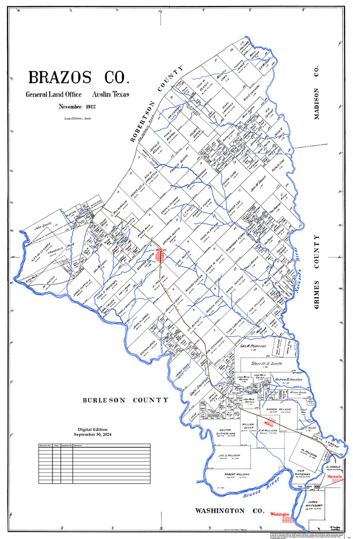
Brazos Co.
1922
-
Size
43.8 x 27.9 inches
-
Map/Doc
95435
-
Creation Date
1922

East Part of Brewster Co.
1952
-
Size
49.5 x 31.1 inches
-
Map/Doc
95436
-
Creation Date
1952

North Part of Brewster Co.
1956
-
Size
42.4 x 40.7 inches
-
Map/Doc
95437
-
Creation Date
1956

South Part of Brewster Co.
1955
-
Size
48.9 x 41.4 inches
-
Map/Doc
95438
-
Creation Date
1955
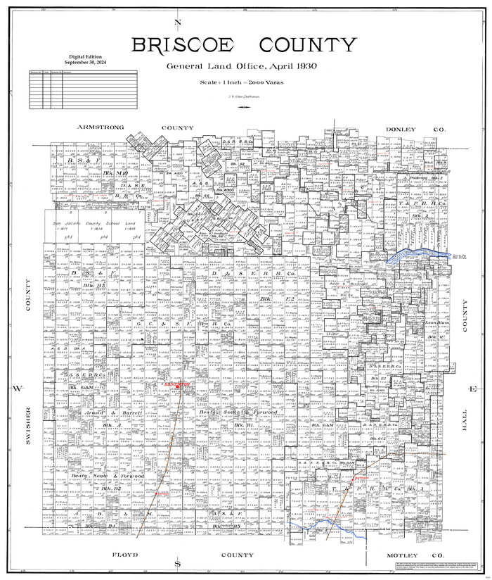
Briscoe County
1930
-
Size
42.3 x 35.8 inches
-
Map/Doc
95439
-
Creation Date
1930
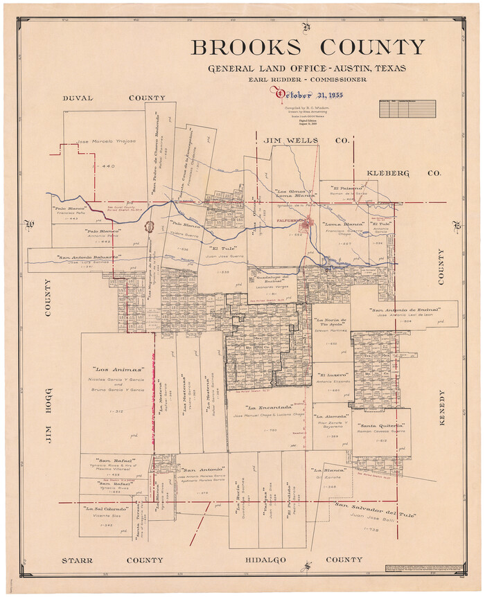
Brooks County
1955
-
Size
42.6 x 34.6 inches
-
Map/Doc
95440
-
Creation Date
1955

Brown County
1944
-
Size
47.9 x 37.3 inches
-
Map/Doc
95441
-
Creation Date
1944

Burleson Co.
1978
-
Size
35.7 x 46.8 inches
-
Map/Doc
95442
-
Creation Date
1978

Burnet Co.
1924
-
Size
45.4 x 38.4 inches
-
Map/Doc
95443
-
Creation Date
1924
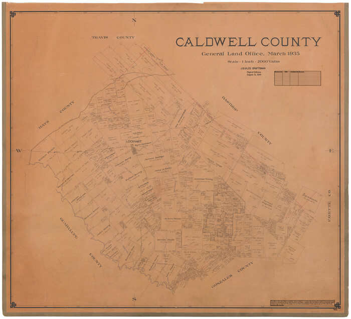
Caldwell County
1935
-
Size
38.7 x 42.7 inches
-
Map/Doc
95444
-
Creation Date
1935