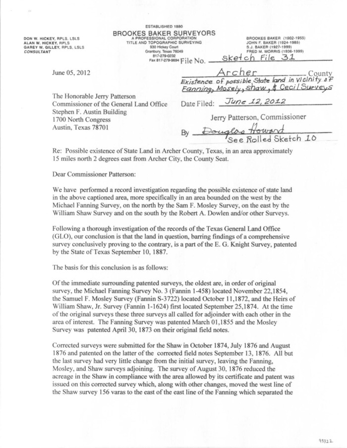
Archer County Sketch File 31
2012
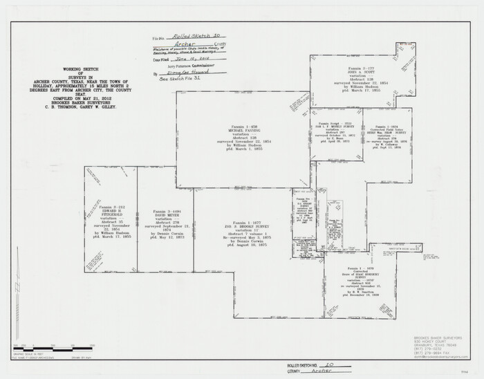
Archer County Rolled Sketch 10
2012

Baylor County Working Sketch 14
1982

Archer County Working Sketch 23
1981

Archer County Working Sketch 22
1980
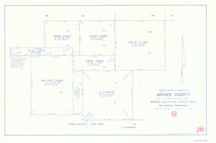
Archer County Working Sketch 21
1976
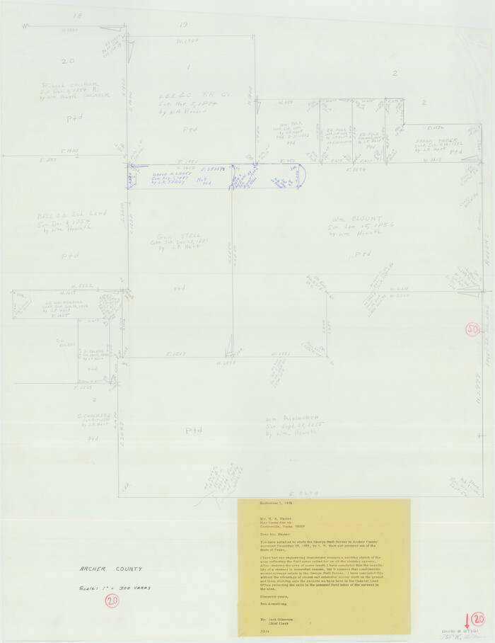
Archer County Working Sketch 20
1975
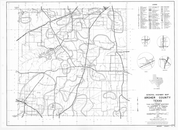
General Highway Map, Archer County, Texas
1961

Archer County Working Sketch 19
1960
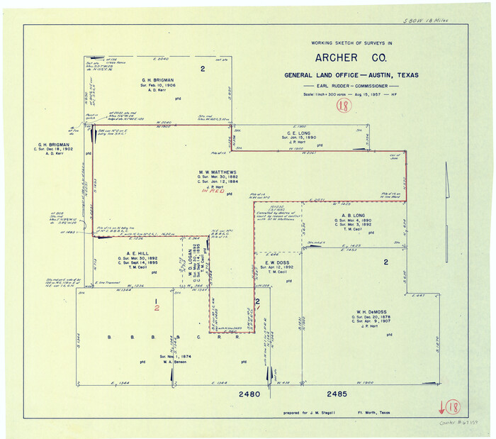
Archer County Working Sketch 18
1957

Archer County Working Sketch 17
1951
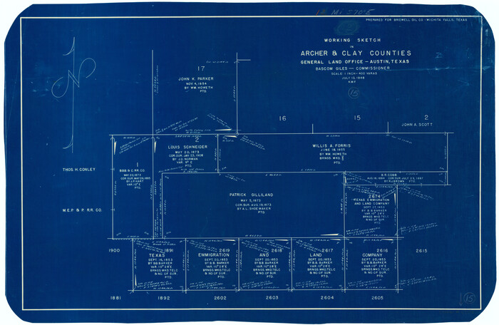
Archer County Working Sketch 15
1948

Right of Way and Track Map, The Wichita Falls & Southern Railway
1942
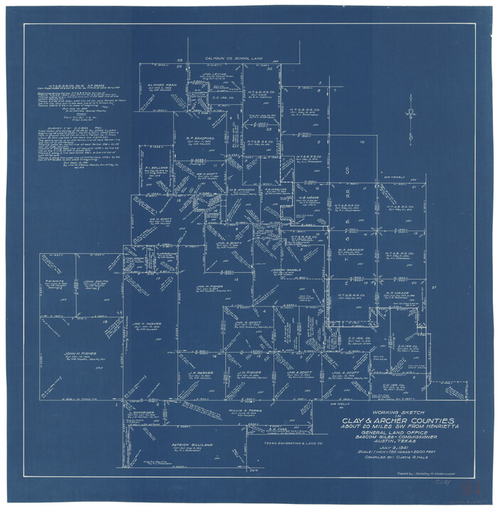
Clay County Working Sketch 11
1941
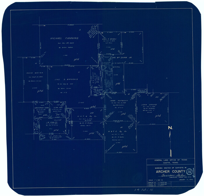
Archer County Working Sketch 14
1940
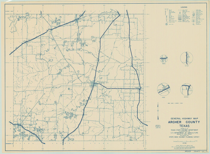
General Highway Map, Archer County, Texas
1940
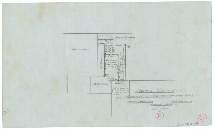
Archer County Working Sketch 12
1939
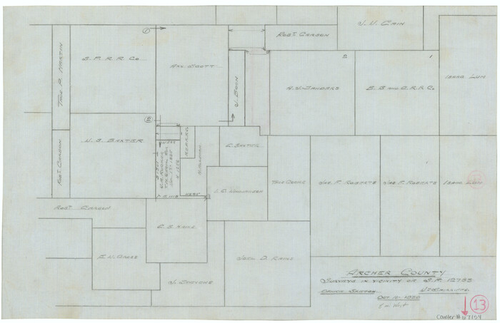
Archer County Working Sketch 13
1939
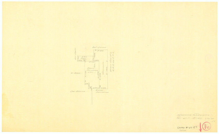
Archer County Working Sketch 16
1939
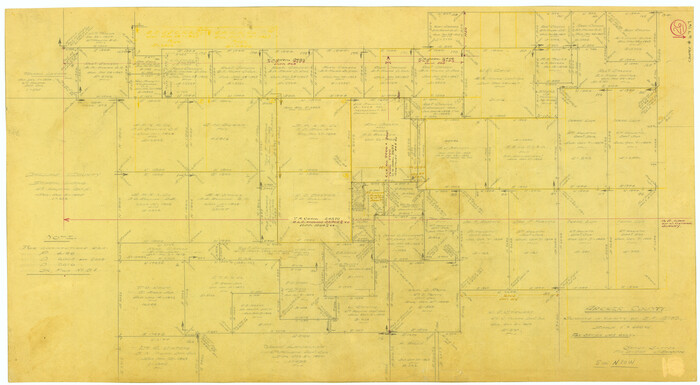
Archer County Working Sketch 26
1939

Archer County Sketch File 20
1936
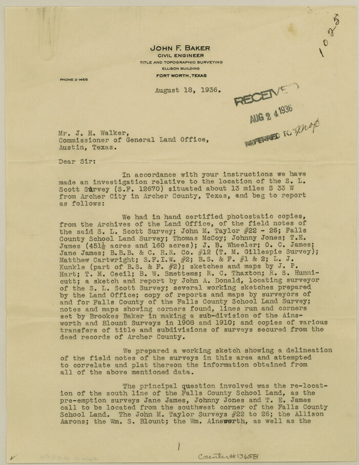
Archer County Sketch File 22
1936

Archer County Sketch File 23
1936
Archer County Sketch File 26
1934

Archer County Sketch File 28-1
1928

Archer County Working Sketch Graphic Index
1926

Archer County Sketch File 31
2012
-
Size
11.0 x 8.5 inches
-
Map/Doc
93322
-
Creation Date
2012

Archer County Rolled Sketch 10
2012
-
Size
19.2 x 24.6 inches
-
Map/Doc
93326
-
Creation Date
2012

Baylor County Working Sketch 14
1982
-
Size
33.5 x 55.1 inches
-
Map/Doc
67299
-
Creation Date
1982

Archer County Working Sketch 23
1981
-
Size
31.7 x 48.3 inches
-
Map/Doc
67164
-
Creation Date
1981

Archer County Working Sketch 22
1980
-
Size
36.4 x 38.0 inches
-
Map/Doc
67163
-
Creation Date
1980

Archer County Working Sketch 21
1976
-
Size
18.2 x 27.4 inches
-
Map/Doc
67162
-
Creation Date
1976

Archer County Working Sketch 20
1975
-
Size
31.7 x 24.4 inches
-
Map/Doc
67161
-
Creation Date
1975

General Highway Map, Archer County, Texas
1961
-
Size
18.3 x 25.0 inches
-
Map/Doc
79353
-
Creation Date
1961

Archer County Working Sketch 19
1960
-
Size
29.6 x 27.5 inches
-
Map/Doc
67160
-
Creation Date
1960

Archer County Working Sketch 18
1957
-
Size
20.2 x 22.9 inches
-
Map/Doc
67159
-
Creation Date
1957

Archer County Working Sketch 17
1951
-
Size
10.7 x 12.2 inches
-
Map/Doc
67158
-
Creation Date
1951

Archer County Working Sketch 15
1948
-
Size
20.7 x 31.9 inches
-
Map/Doc
67156
-
Creation Date
1948

Right of Way and Track Map, The Wichita Falls & Southern Railway
1942
-
Size
25.5 x 92.5 inches
-
Map/Doc
64513
-
Creation Date
1942

Clay County Working Sketch 11
1941
-
Size
27.7 x 27.1 inches
-
Map/Doc
68034
-
Creation Date
1941

Archer County Working Sketch 14
1940
-
Size
23.3 x 24.3 inches
-
Map/Doc
67155
-
Creation Date
1940

General Highway Map, Archer County, Texas
1940
-
Size
18.2 x 24.8 inches
-
Map/Doc
79005
-
Creation Date
1940

Archer County Working Sketch 12
1939
-
Size
11.2 x 18.7 inches
-
Map/Doc
67153
-
Creation Date
1939

Archer County Working Sketch 13
1939
-
Size
12.0 x 18.5 inches
-
Map/Doc
67154
-
Creation Date
1939

Archer County Working Sketch 16
1939
-
Size
10.9 x 17.8 inches
-
Map/Doc
67157
-
Creation Date
1939

Archer County Working Sketch 26
1939
-
Size
17.1 x 31.2 inches
-
Map/Doc
67167
-
Creation Date
1939

Archer County Sketch File 20
1936
-
Size
11.0 x 8.7 inches
-
Map/Doc
13655
-
Creation Date
1936

Archer County Sketch File 22
1936
-
Size
11.1 x 8.6 inches
-
Map/Doc
13658
-
Creation Date
1936

Archer County Sketch File 23
1936
-
Size
25.3 x 23.4 inches
-
Map/Doc
10831
-
Creation Date
1936

Archer County Sketch File 26
1934
-
Size
9.7 x 4.4 inches
-
Map/Doc
13663
-
Creation Date
1934

Archer County Sketch File 28-1
1928
-
Size
23.8 x 22.0 inches
-
Map/Doc
10834
-
Creation Date
1928
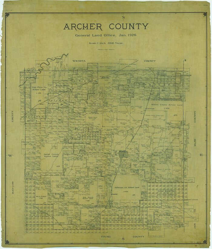
Archer County
1926
-
Size
46.4 x 39.3 inches
-
Map/Doc
1772
-
Creation Date
1926
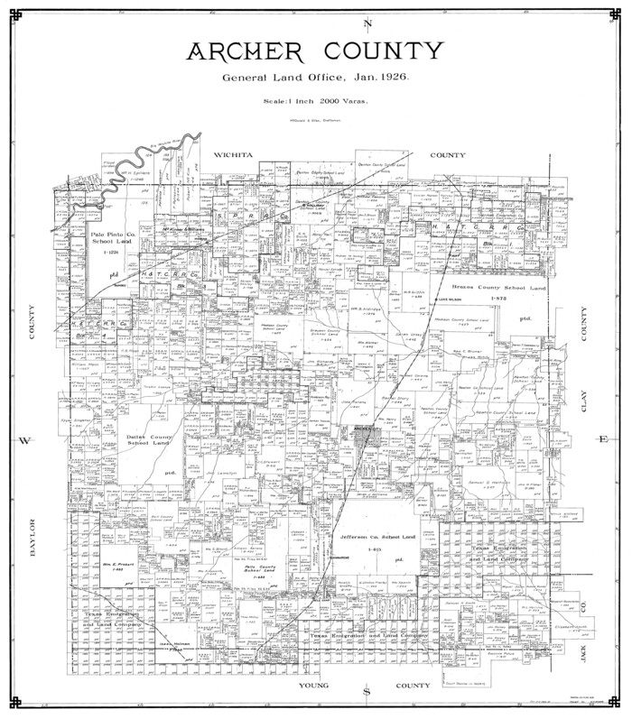
Archer County
1926
-
Size
43.8 x 38.7 inches
-
Map/Doc
77202
-
Creation Date
1926

Archer County
1926
-
Size
42.9 x 37.8 inches
-
Map/Doc
73070
-
Creation Date
1926

Archer County Working Sketch Graphic Index
1926
-
Size
46.7 x 39.4 inches
-
Map/Doc
76456
-
Creation Date
1926
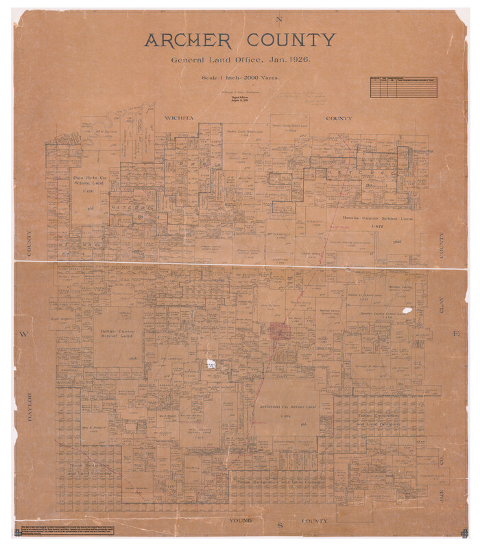
Archer County
1926
-
Size
43.7 x 37.9 inches
-
Map/Doc
95419
-
Creation Date
1926