Red River County Sketch File 25


Print $20.00
- Digital $50.00
Red River County Sketch File 25
Size: 26.0 x 38.9 inches
10586
Bowie County Sketch File 2
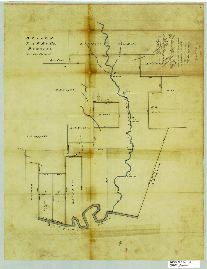

Print $40.00
- Digital $50.00
Bowie County Sketch File 2
Size: 19.6 x 15.1 inches
10940
Bowie County Sketch File 3
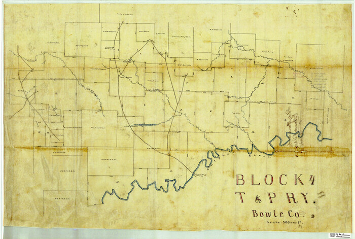

Print $40.00
- Digital $50.00
Bowie County Sketch File 3
Size: 25.7 x 38.1 inches
10941
Bowie County Sketch File 1


Print $8.00
- Digital $50.00
Bowie County Sketch File 1
Size: 8.6 x 10.0 inches
14833
Bowie County Sketch File 4
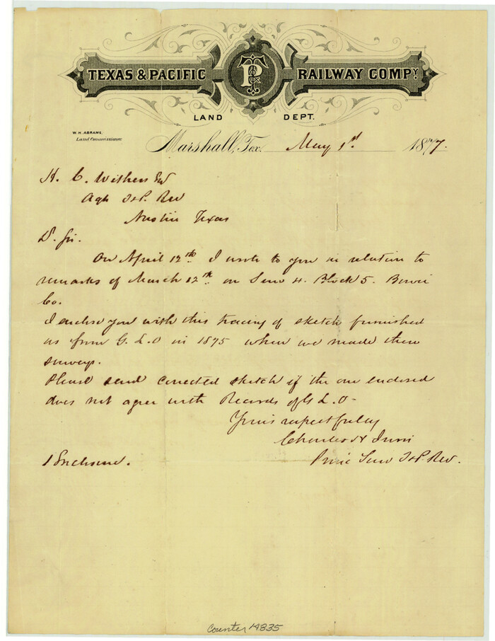

Print $4.00
- Digital $50.00
Bowie County Sketch File 4
Size: 10.8 x 8.4 inches
14835
Bowie County Sketch File 5


Print $4.00
- Digital $50.00
Bowie County Sketch File 5
Size: 10.1 x 7.5 inches
14837
Bowie County Sketch File 6b
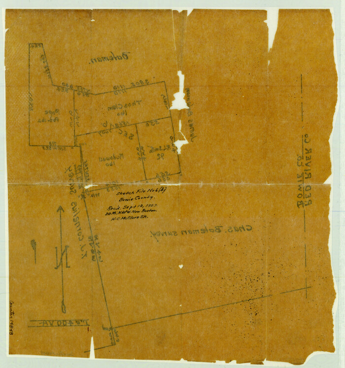

Print $40.00
- Digital $50.00
Bowie County Sketch File 6b
Size: 14.4 x 13.5 inches
14848
Bowie County Sketch File 7c
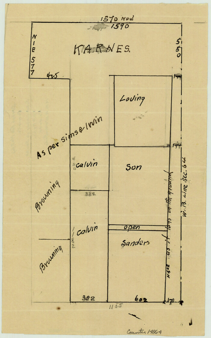

Print $7.00
- Digital $50.00
Bowie County Sketch File 7c
Size: 11.9 x 7.4 inches
14864
Bowie County Sketch File 8d
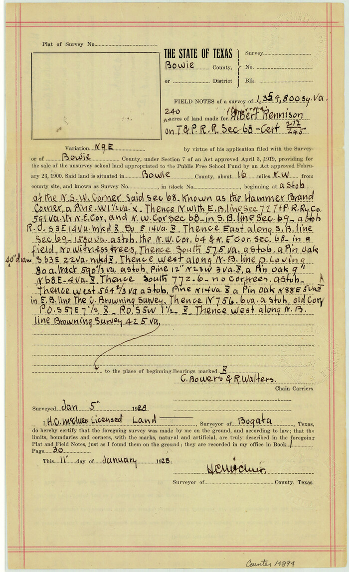

Print $4.00
- Digital $50.00
Bowie County Sketch File 8d
Size: 14.2 x 8.6 inches
14894
Bowie County Sketch File 9

Print $10.00
- Digital $50.00
Bowie County Sketch File 9
Size: 8.1 x 3.9 inches
14907
Bowie County Boundary File 72 (23)


Print $10.00
- Digital $50.00
Bowie County Boundary File 72 (23)
Size: 13.0 x 8.0 inches
50694
Map of the Recognised Line, M. El. P. & P. RR. from Texas & Arkansas State Line to Milam & Bexar Land District Line


Print $40.00
- Digital $50.00
Map of the Recognised Line, M. El. P. & P. RR. from Texas & Arkansas State Line to Milam & Bexar Land District Line
Size: 15.3 x 89.4 inches
64638
Bowie County Working Sketch 1
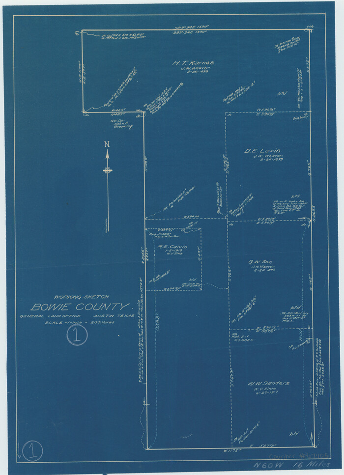

Print $20.00
- Digital $50.00
Bowie County Working Sketch 1
Size: 16.7 x 12.1 inches
67405
Bowie County Working Sketch 2


Print $20.00
- Digital $50.00
Bowie County Working Sketch 2
Size: 35.0 x 40.8 inches
67406
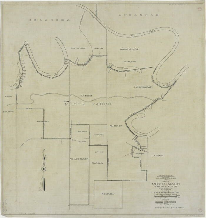
Map of Moser Ranch, Bowie County, Texas

Print $20.00
- Digital $50.00
Map of Moser Ranch, Bowie County, Texas
Size: 29.0 x 27.4 inches
73558
Shaw Farm, State Prison Farm, Bowie County


Print $20.00
- Digital $50.00
Shaw Farm, State Prison Farm, Bowie County
Size: 16.1 x 17.9 inches
73559
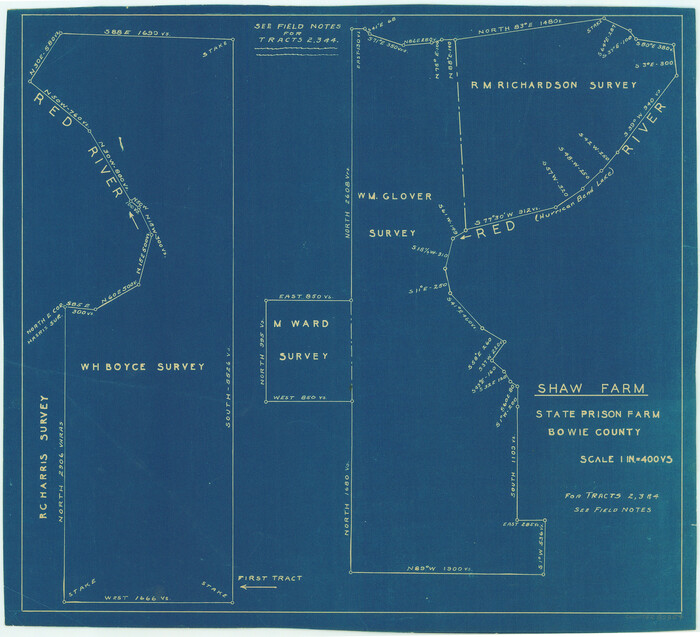
Shaw Farm, State Prison Farm, Bowie County

Print $20.00
- Digital $50.00
Shaw Farm, State Prison Farm, Bowie County
Size: 15.7 x 17.2 inches
82854
Bowie County Rolled Sketch 2


Print $40.00
- Digital $50.00
Bowie County Rolled Sketch 2
Size: 37.8 x 51.3 inches
8454
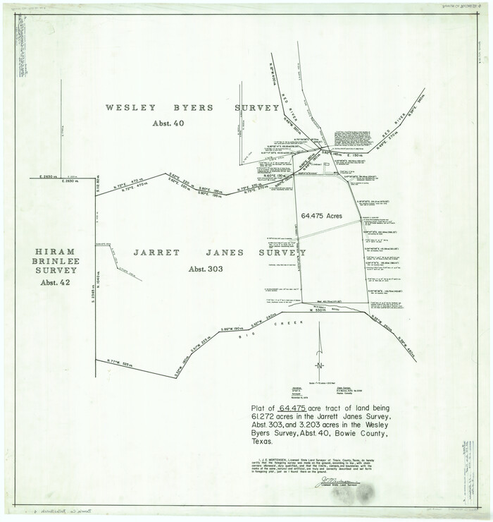
Bowie County Rolled Sketch 4

Print $20.00
- Digital $50.00
Bowie County Rolled Sketch 4
Size: 46.1 x 43.6 inches
8456
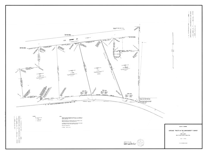
Bowie County Rolled Sketch 5

Print $20.00
- Digital $50.00
Bowie County Rolled Sketch 5
Size: 33.1 x 44.5 inches
8457
Red River County Rolled Sketch 4
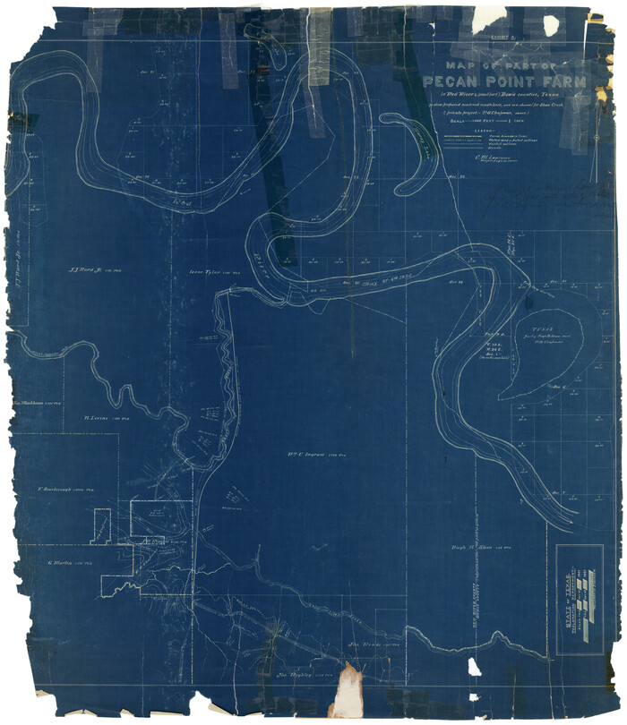

Print $20.00
- Digital $50.00
Red River County Rolled Sketch 4
Size: 37.3 x 32.2 inches
9841
Map of Bowie County
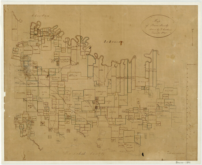

Print $20.00
- Digital $50.00
Map of Bowie County
1841
Size: 17.8 x 21.8 inches
3316
Red River County Sketch File 6
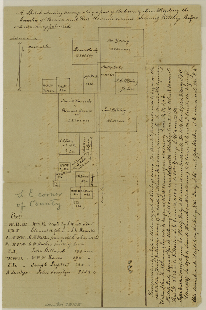

Print $8.00
- Digital $50.00
Red River County Sketch File 6
1853
Size: 10.4 x 6.9 inches
35105
Map of the Recognised Line M. El. P. & P. R.R. from Texas & Arkansas State Line to Milam & Bexar Land District Line


Print $40.00
- Digital $50.00
Map of the Recognised Line M. El. P. & P. R.R. from Texas & Arkansas State Line to Milam & Bexar Land District Line
1856
Size: 14.3 x 89.8 inches
64053
Map of the Lands Surveyed by the Memphis, El Paso & Pacific R.R. Company
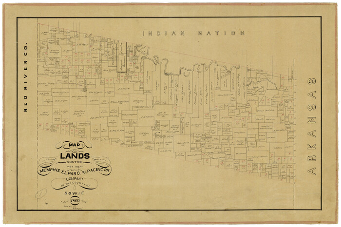

Print $20.00
- Digital $50.00
Map of the Lands Surveyed by the Memphis, El Paso & Pacific R.R. Company
1860
Size: 16.7 x 24.7 inches
4845
Map of Bowie County


Print $20.00
- Digital $50.00
Map of Bowie County
1862
Size: 20.0 x 23.5 inches
3317
Red River County Sketch File 17


Print $26.00
- Digital $50.00
Red River County Sketch File 17
1868
Size: 12.8 x 8.2 inches
35141
Map Exhibiting the line of the Southern Trans-Continental R.R. from Marshall to Texarkana from Texarkana to Forth Worth


Print $20.00
- Digital $50.00
Map Exhibiting the line of the Southern Trans-Continental R.R. from Marshall to Texarkana from Texarkana to Forth Worth
1872
Size: 24.6 x 47.8 inches
64241
Red River County Sketch File 25


Print $20.00
- Digital $50.00
Red River County Sketch File 25
-
Size
26.0 x 38.9 inches
-
Map/Doc
10586
Bowie County Sketch File 2


Print $40.00
- Digital $50.00
Bowie County Sketch File 2
-
Size
19.6 x 15.1 inches
-
Map/Doc
10940
Bowie County Sketch File 3


Print $40.00
- Digital $50.00
Bowie County Sketch File 3
-
Size
25.7 x 38.1 inches
-
Map/Doc
10941
Bowie County Sketch File 1


Print $8.00
- Digital $50.00
Bowie County Sketch File 1
-
Size
8.6 x 10.0 inches
-
Map/Doc
14833
Bowie County Sketch File 4


Print $4.00
- Digital $50.00
Bowie County Sketch File 4
-
Size
10.8 x 8.4 inches
-
Map/Doc
14835
Bowie County Sketch File 5


Print $4.00
- Digital $50.00
Bowie County Sketch File 5
-
Size
10.1 x 7.5 inches
-
Map/Doc
14837
Bowie County Sketch File 6b


Print $40.00
- Digital $50.00
Bowie County Sketch File 6b
-
Size
14.4 x 13.5 inches
-
Map/Doc
14848
Bowie County Sketch File 7c


Print $7.00
- Digital $50.00
Bowie County Sketch File 7c
-
Size
11.9 x 7.4 inches
-
Map/Doc
14864
Bowie County Sketch File 8d


Print $4.00
- Digital $50.00
Bowie County Sketch File 8d
-
Size
14.2 x 8.6 inches
-
Map/Doc
14894
Bowie County Sketch File 9


Print $10.00
- Digital $50.00
Bowie County Sketch File 9
-
Size
8.1 x 3.9 inches
-
Map/Doc
14907
Bowie County Boundary File 72 (23)


Print $10.00
- Digital $50.00
Bowie County Boundary File 72 (23)
-
Size
13.0 x 8.0 inches
-
Map/Doc
50694
Map of the Recognised Line, M. El. P. & P. RR. from Texas & Arkansas State Line to Milam & Bexar Land District Line


Print $40.00
- Digital $50.00
Map of the Recognised Line, M. El. P. & P. RR. from Texas & Arkansas State Line to Milam & Bexar Land District Line
-
Size
15.3 x 89.4 inches
-
Map/Doc
64638
Bowie County Working Sketch 1


Print $20.00
- Digital $50.00
Bowie County Working Sketch 1
-
Size
16.7 x 12.1 inches
-
Map/Doc
67405
Bowie County Working Sketch 2


Print $20.00
- Digital $50.00
Bowie County Working Sketch 2
-
Size
35.0 x 40.8 inches
-
Map/Doc
67406
Map of Moser Ranch, Bowie County, Texas


Print $20.00
- Digital $50.00
Map of Moser Ranch, Bowie County, Texas
-
Size
29.0 x 27.4 inches
-
Map/Doc
73558
Shaw Farm, State Prison Farm, Bowie County


Print $20.00
- Digital $50.00
Shaw Farm, State Prison Farm, Bowie County
-
Size
16.1 x 17.9 inches
-
Map/Doc
73559
Shaw Farm, State Prison Farm, Bowie County


Print $20.00
- Digital $50.00
Shaw Farm, State Prison Farm, Bowie County
-
Size
15.7 x 17.2 inches
-
Map/Doc
82854
Bowie County Rolled Sketch 2


Print $40.00
- Digital $50.00
Bowie County Rolled Sketch 2
-
Size
37.8 x 51.3 inches
-
Map/Doc
8454
Bowie County Rolled Sketch 4


Print $20.00
- Digital $50.00
Bowie County Rolled Sketch 4
-
Size
46.1 x 43.6 inches
-
Map/Doc
8456
Bowie County Rolled Sketch 5


Print $20.00
- Digital $50.00
Bowie County Rolled Sketch 5
-
Size
33.1 x 44.5 inches
-
Map/Doc
8457
Red River County Rolled Sketch 4


Print $20.00
- Digital $50.00
Red River County Rolled Sketch 4
-
Size
37.3 x 32.2 inches
-
Map/Doc
9841
Map of Bowie County


Print $20.00
- Digital $50.00
Map of Bowie County
1841
-
Size
17.8 x 21.8 inches
-
Map/Doc
3316
-
Creation Date
1841
Red River County Sketch File 6


Print $8.00
- Digital $50.00
Red River County Sketch File 6
1853
-
Size
10.4 x 6.9 inches
-
Map/Doc
35105
-
Creation Date
1853
Map of the Recognised Line M. El. P. & P. R.R. from Texas & Arkansas State Line to Milam & Bexar Land District Line


Print $40.00
- Digital $50.00
Map of the Recognised Line M. El. P. & P. R.R. from Texas & Arkansas State Line to Milam & Bexar Land District Line
1856
-
Size
14.3 x 89.8 inches
-
Map/Doc
64053
-
Creation Date
1856
Map of the Lands Surveyed by the Memphis, El Paso & Pacific R.R. Company


Print $20.00
- Digital $50.00
Map of the Lands Surveyed by the Memphis, El Paso & Pacific R.R. Company
1860
-
Size
16.7 x 24.7 inches
-
Map/Doc
4845
-
Creation Date
1860
Map of Bowie County


Print $20.00
- Digital $50.00
Map of Bowie County
1862
-
Size
20.0 x 23.5 inches
-
Map/Doc
3317
-
Creation Date
1862
Red River County Sketch File 17


Print $26.00
- Digital $50.00
Red River County Sketch File 17
1868
-
Size
12.8 x 8.2 inches
-
Map/Doc
35141
-
Creation Date
1868
Bowie County


Print $20.00
- Digital $50.00
Bowie County
1872
-
Size
18.2 x 22.6 inches
-
Map/Doc
3318
-
Creation Date
1872
Map Exhibiting the line of the Southern Trans-Continental R.R. from Marshall to Texarkana from Texarkana to Forth Worth


Print $20.00
- Digital $50.00
Map Exhibiting the line of the Southern Trans-Continental R.R. from Marshall to Texarkana from Texarkana to Forth Worth
1872
-
Size
24.6 x 47.8 inches
-
Map/Doc
64241
-
Creation Date
1872
