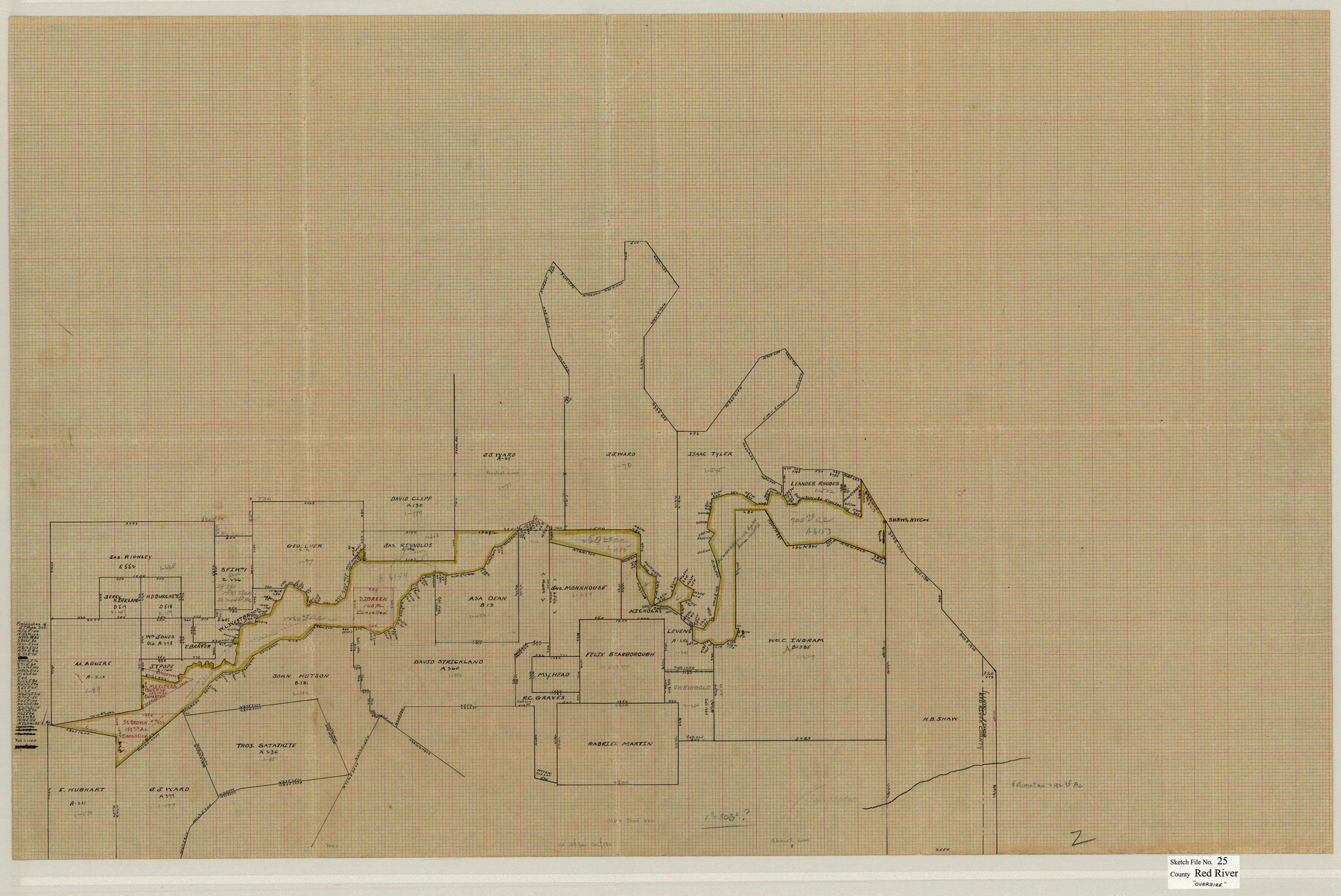
Red River County Sketch File 25
[Sketch of area along the Red River in the northeast corner of the county]
-
Map/Doc
10586
-
Collection
General Map Collection
-
Counties
Red River Bowie
-
Subjects
Surveying Sketch File
-
Height x Width
26.0 x 38.9 inches
66.0 x 98.8 cm
-
Medium
paper, manuscript
Part of: General Map Collection
Jefferson County Sketch File 24

Print $6.00
- Digital $50.00
Jefferson County Sketch File 24
Size 10.8 x 6.8 inches
Map/Doc 28181
Aransas County Sketch File 23

Print $6.00
- Digital $50.00
Aransas County Sketch File 23
1927
Size 14.5 x 8.9 inches
Map/Doc 13174
Archer County

Print $20.00
- Digital $50.00
Archer County
1926
Size 42.9 x 37.8 inches
Map/Doc 73070
Glasscock County Rolled Sketch 10

Print $20.00
- Digital $50.00
Glasscock County Rolled Sketch 10
Size 47.6 x 45.9 inches
Map/Doc 9058
Hood County Working Sketch 17

Print $40.00
- Digital $50.00
Hood County Working Sketch 17
1987
Size 42.2 x 54.4 inches
Map/Doc 66211
Brewster County Rolled Sketch 89

Print $40.00
- Digital $50.00
Brewster County Rolled Sketch 89
1947
Size 37.3 x 63.4 inches
Map/Doc 8499
Presidio County Rolled Sketch 83A

Print $20.00
- Digital $50.00
Presidio County Rolled Sketch 83A
1930
Size 28.2 x 27.6 inches
Map/Doc 7370
Kerr County Sketch File 21

Print $10.00
- Digital $50.00
Kerr County Sketch File 21
1954
Size 11.1 x 8.7 inches
Map/Doc 28892
Jasper County Sketch File 1a

Print $8.00
- Digital $50.00
Jasper County Sketch File 1a
1859
Size 12.1 x 7.7 inches
Map/Doc 27765
Cherokee County Sketch File 31

Print $6.00
- Digital $50.00
Cherokee County Sketch File 31
1934
Size 14.0 x 8.9 inches
Map/Doc 18184
Zapata County Sketch File 13

Print $4.00
- Digital $50.00
Zapata County Sketch File 13
1930
Size 11.3 x 8.8 inches
Map/Doc 40952
Karte des Staates, Texas

Print $20.00
- Digital $50.00
Karte des Staates, Texas
1851
Size 25.5 x 30.8 inches
Map/Doc 2123
You may also like
Schleicher County Rolled Sketch 11

Print $20.00
- Digital $50.00
Schleicher County Rolled Sketch 11
1951
Size 24.9 x 19.2 inches
Map/Doc 7754
[Beaumont, Sour Lake and Western Ry. Right of Way and Alignment - Frisco]
![64108, [Beaumont, Sour Lake and Western Ry. Right of Way and Alignment - Frisco], General Map Collection](https://historictexasmaps.com/wmedia_w700/maps/64108.tif.jpg)
Print $20.00
- Digital $50.00
[Beaumont, Sour Lake and Western Ry. Right of Way and Alignment - Frisco]
1910
Size 19.9 x 45.9 inches
Map/Doc 64108
[East Line & Red River Railroad from Sulphur Springs to Jefferson]
![64768, [East Line & Red River Railroad from Sulphur Springs to Jefferson], General Map Collection](https://historictexasmaps.com/wmedia_w700/maps/64768.tif.jpg)
Print $40.00
- Digital $50.00
[East Line & Red River Railroad from Sulphur Springs to Jefferson]
1879
Size 38.0 x 108.5 inches
Map/Doc 64768
Copy of connection with surveys of Bl. D, GH&SA Ry. Co. in Kimble County

Print $6.00
- Digital $50.00
Copy of connection with surveys of Bl. D, GH&SA Ry. Co. in Kimble County
1890
Size 14.2 x 8.9 inches
Map/Doc 89457
Lynn County Rolled Sketch 17

Print $20.00
- Digital $50.00
Lynn County Rolled Sketch 17
1994
Size 45.2 x 35.8 inches
Map/Doc 9475
Montague County Rolled Sketch 8

Print $20.00
- Digital $50.00
Montague County Rolled Sketch 8
Size 25.4 x 21.8 inches
Map/Doc 6792
Webb County Rolled Sketch 48

Print $20.00
- Digital $50.00
Webb County Rolled Sketch 48
1943
Size 20.1 x 37.3 inches
Map/Doc 8204
Jefferson County Rolled Sketch 21

Print $20.00
- Digital $50.00
Jefferson County Rolled Sketch 21
Size 12.6 x 12.1 inches
Map/Doc 6386
Aransas County Rolled Sketch 16

Print $40.00
- Digital $50.00
Aransas County Rolled Sketch 16
1965
Size 45.9 x 92.9 inches
Map/Doc 9005
Polk County Sketch File 20

Print $4.00
- Digital $50.00
Polk County Sketch File 20
Size 6.1 x 8.2 inches
Map/Doc 34167
Map of Jasper County

Print $40.00
- Digital $50.00
Map of Jasper County
1898
Size 49.1 x 39.6 inches
Map/Doc 66879
Webb County Sketch File 10-2

Print $10.00
- Digital $50.00
Webb County Sketch File 10-2
1933
Size 16.9 x 10.9 inches
Map/Doc 39766