
The Republic County of Bowie. Spring 1842
2020
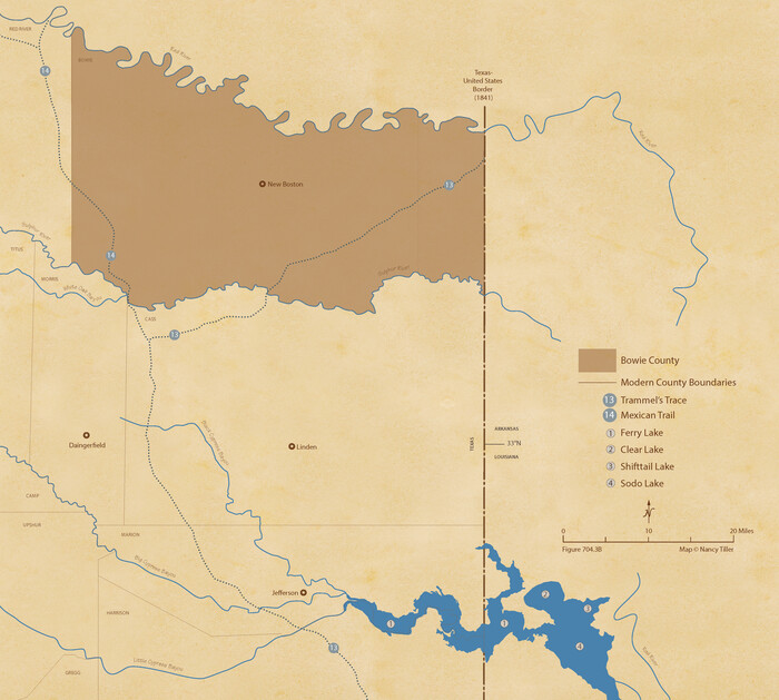
The Republic County of Bowie. June 24, 1841
2020
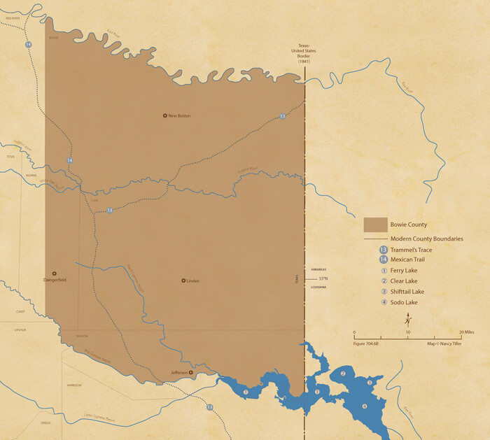
The Republic County of Bowie. January 8, 1844
2020

The Republic County of Bowie. January 28, 1841
2020
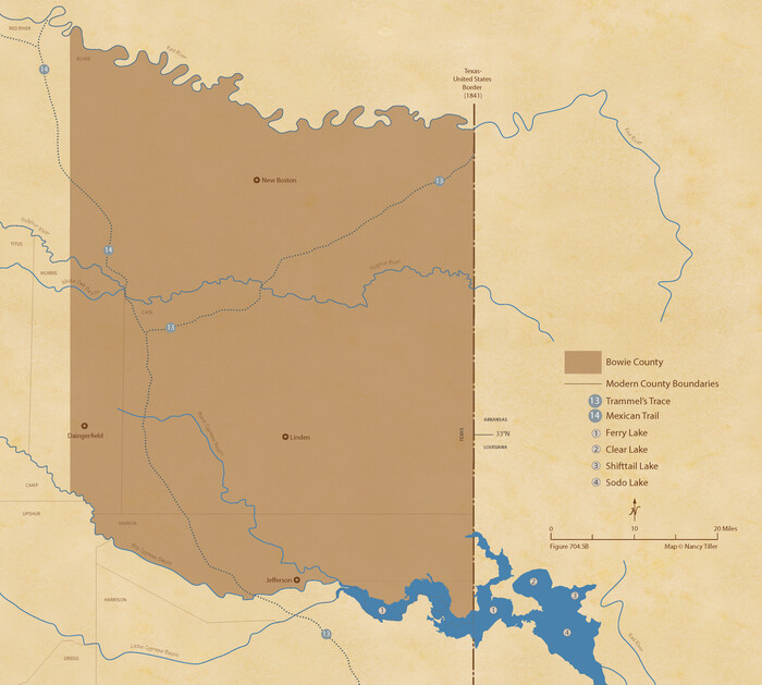
The Republic County of Bowie. January 16, 1843
2020

The Republic County of Bowie. December 29, 1845
2020

The Republic County of Bowie. Created, December 17, 1840
2020

T&P Ry. from Texarkana to Atlanta
1910

Sulphur River, Bassett Sheet
1939

Sulphur River, Bassett Sheet
1939

Sulphur River, Bassett Sheet
1939

Sulphur River, Bassett Sheet
1939

Shaw Farm, State Prison Farm, Bowie County
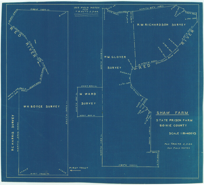
Shaw Farm, State Prison Farm, Bowie County
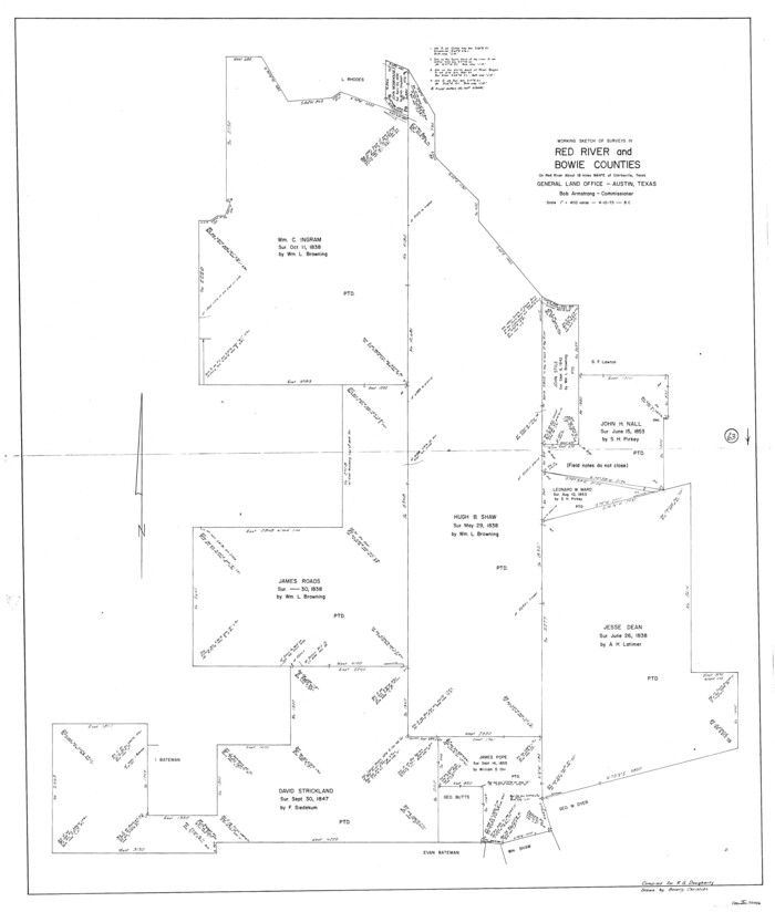
Red River County Working Sketch 63
1973
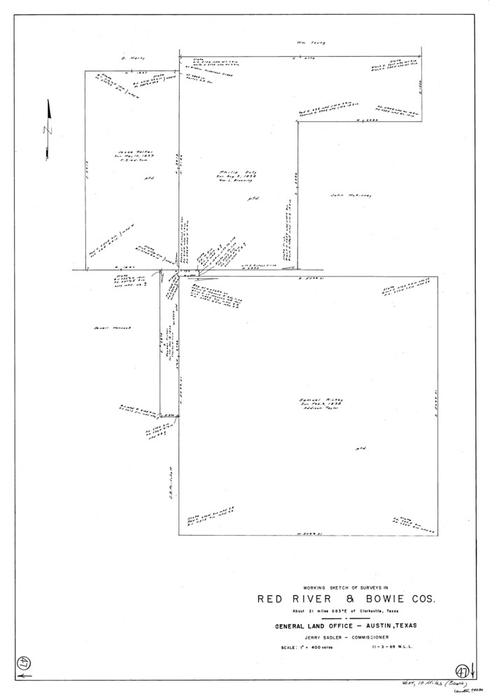
Red River County Working Sketch 47
1969
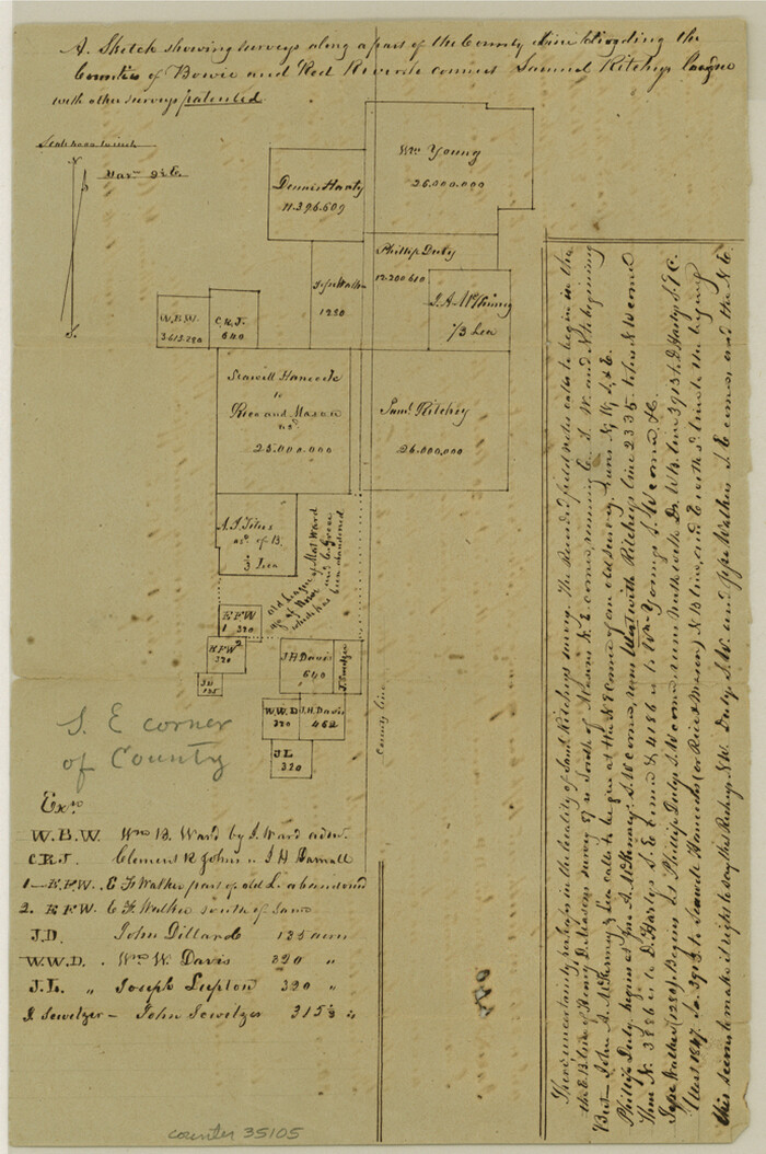
Red River County Sketch File 6
1853

Red River County Sketch File 25

Red River County Sketch File 17
1868
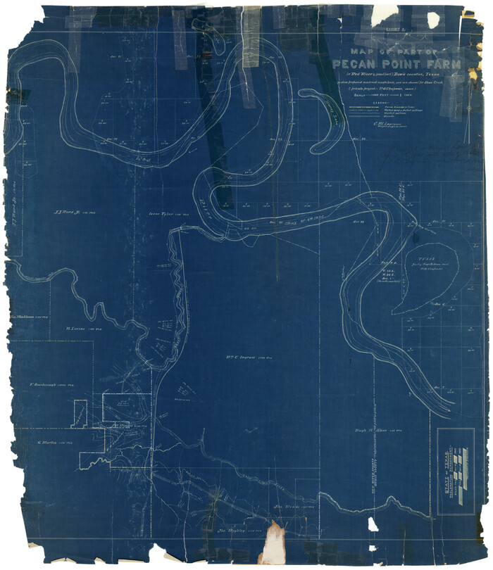
Red River County Rolled Sketch 4
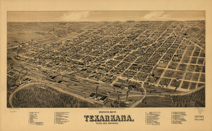
Perspective Map of Texarkana, Texas and Arkansas
1888

Map of the Recognised Line, M. El. P. & P. RR. from Texas & Arkansas State Line to Milam & Bexar Land District Line

Map of the Recognised Line M. El. P. & P. R.R. from Texas & Arkansas State Line to Milam & Bexar Land District Line
1856
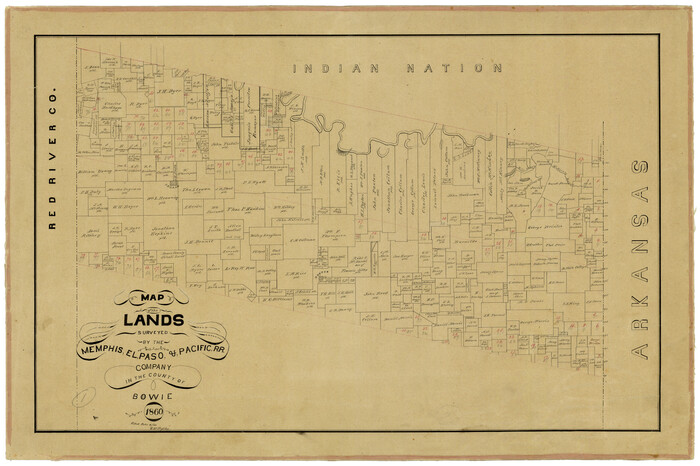
Map of the Lands Surveyed by the Memphis, El Paso & Pacific R.R. Company
1860
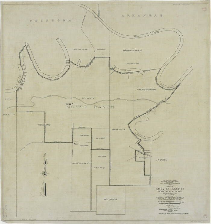
Map of Moser Ranch, Bowie County, Texas

Map of Bowie County, Texas
1879
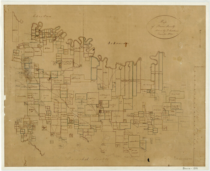
Map of Bowie County
1841

Map of Bowie County
1862
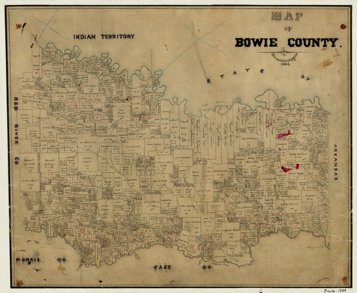
Map of Bowie County
1884

Map Exhibiting the line of the Southern Trans-Continental R.R. from Marshall to Texarkana from Texarkana to Forth Worth
1872

The Republic County of Bowie. Spring 1842
2020
-
Size
19.5 x 21.7 inches
-
Map/Doc
96105
-
Creation Date
2020

The Republic County of Bowie. June 24, 1841
2020
-
Size
19.5 x 21.7 inches
-
Map/Doc
96104
-
Creation Date
2020

The Republic County of Bowie. January 8, 1844
2020
-
Size
19.5 x 21.7 inches
-
Map/Doc
96107
-
Creation Date
2020

The Republic County of Bowie. January 28, 1841
2020
-
Size
19.5 x 21.7 inches
-
Map/Doc
96103
-
Creation Date
2020

The Republic County of Bowie. January 16, 1843
2020
-
Size
19.5 x 21.7 inches
-
Map/Doc
96106
-
Creation Date
2020

The Republic County of Bowie. December 29, 1845
2020
-
Size
19.5 x 21.7 inches
-
Map/Doc
96108
-
Creation Date
2020

The Republic County of Bowie. Created, December 17, 1840
2020
-
Size
19.5 x 21.7 inches
-
Map/Doc
96102
-
Creation Date
2020

T&P Ry. from Texarkana to Atlanta
1910
-
Size
19.8 x 77.4 inches
-
Map/Doc
2327
-
Creation Date
1910

Sulphur River, Bassett Sheet
1939
-
Size
23.9 x 31.2 inches
-
Map/Doc
65176
-
Creation Date
1939

Sulphur River, Bassett Sheet
1939
-
Size
23.9 x 31.5 inches
-
Map/Doc
69683
-
Creation Date
1939

Sulphur River, Bassett Sheet
1939
-
Size
25.3 x 32.0 inches
-
Map/Doc
78320
-
Creation Date
1939

Sulphur River, Bassett Sheet
1939
-
Size
24.8 x 32.0 inches
-
Map/Doc
78322
-
Creation Date
1939

Shaw Farm, State Prison Farm, Bowie County
-
Size
16.1 x 17.9 inches
-
Map/Doc
73559

Shaw Farm, State Prison Farm, Bowie County
-
Size
15.7 x 17.2 inches
-
Map/Doc
82854

Red River County Working Sketch 63
1973
-
Size
43.6 x 37.0 inches
-
Map/Doc
72046
-
Creation Date
1973

Red River County Working Sketch 47
1969
-
Size
34.3 x 24.2 inches
-
Map/Doc
72030
-
Creation Date
1969

Red River County Sketch File 6
1853
-
Size
10.4 x 6.9 inches
-
Map/Doc
35105
-
Creation Date
1853

Red River County Sketch File 25
-
Size
26.0 x 38.9 inches
-
Map/Doc
10586

Red River County Sketch File 17
1868
-
Size
12.8 x 8.2 inches
-
Map/Doc
35141
-
Creation Date
1868

Red River County Rolled Sketch 4
-
Size
37.3 x 32.2 inches
-
Map/Doc
9841

Perspective Map of Texarkana, Texas and Arkansas
1888
-
Size
18.1 x 29.2 inches
-
Map/Doc
93485
-
Creation Date
1888

Map of the Recognised Line, M. El. P. & P. RR. from Texas & Arkansas State Line to Milam & Bexar Land District Line
-
Size
15.3 x 89.4 inches
-
Map/Doc
64638

Map of the Recognised Line M. El. P. & P. R.R. from Texas & Arkansas State Line to Milam & Bexar Land District Line
1856
-
Size
14.3 x 89.8 inches
-
Map/Doc
64053
-
Creation Date
1856

Map of the Lands Surveyed by the Memphis, El Paso & Pacific R.R. Company
1860
-
Size
16.7 x 24.7 inches
-
Map/Doc
4845
-
Creation Date
1860

Map of Moser Ranch, Bowie County, Texas
-
Size
29.0 x 27.4 inches
-
Map/Doc
73558

Map of Bowie County, Texas
1879
-
Size
21.2 x 24.4 inches
-
Map/Doc
607
-
Creation Date
1879

Map of Bowie County
1841
-
Size
17.8 x 21.8 inches
-
Map/Doc
3316
-
Creation Date
1841

Map of Bowie County
1862
-
Size
20.0 x 23.5 inches
-
Map/Doc
3317
-
Creation Date
1862

Map of Bowie County
1884
-
Size
19.4 x 23.7 inches
-
Map/Doc
3319
-
Creation Date
1884

Map Exhibiting the line of the Southern Trans-Continental R.R. from Marshall to Texarkana from Texarkana to Forth Worth
1872
-
Size
24.6 x 47.8 inches
-
Map/Doc
64241
-
Creation Date
1872