
Comanche County Rolled Sketch 3
2017
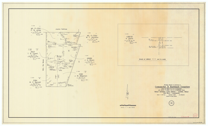
Comanche County Working Sketch 32
1992

Comanche County Working Sketch 31
1991
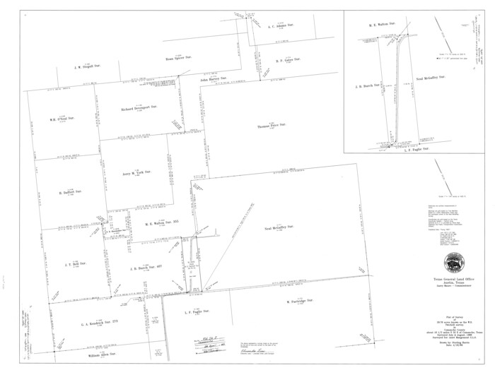
Comanche County Rolled Sketch 2
1989
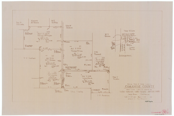
Comanche County Working Sketch 30
1988

Comanche County Working Sketch 29
1986

Comanche County Rolled Sketch 1
1985
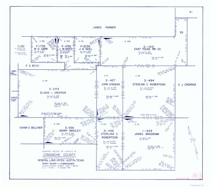
Comanche County Working Sketch 28
1984
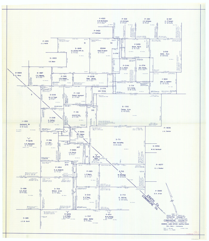
Comanche County Working Sketch 27
1983

Erath County Working Sketch 46
1983
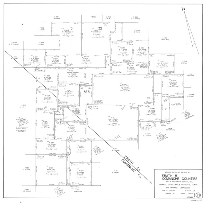
Erath County Working Sketch 44
1981
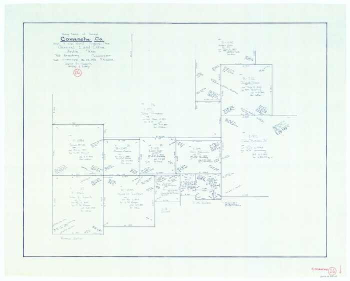
Comanche County Working Sketch 26
1981

Erath County Working Sketch 40
1977

Comanche County Working Sketch 25
1976

Comanche County Working Sketch 24
1975
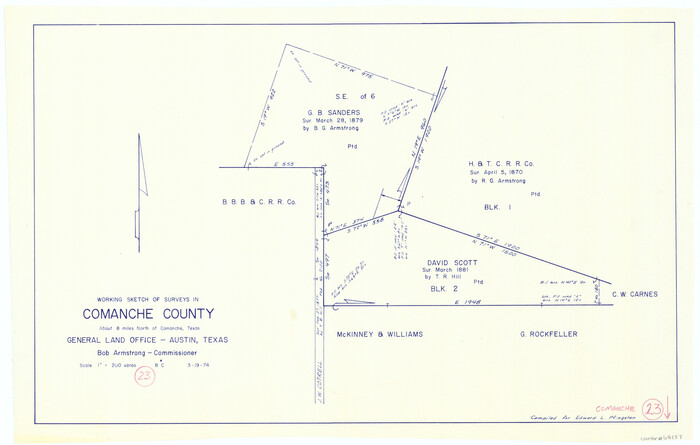
Comanche County Working Sketch 23
1974

Comanche County Working Sketch 22
1974
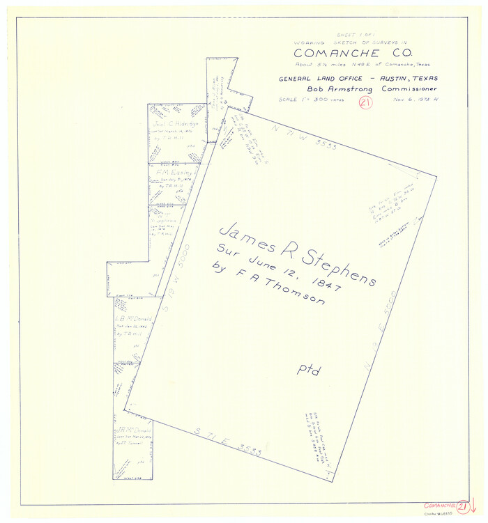
Comanche County Working Sketch 21
1973

Comanche County Working Sketch 20
1973
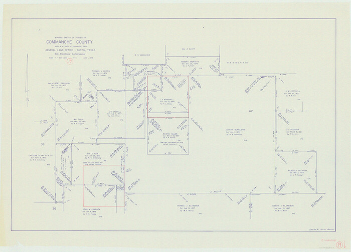
Comanche County Working Sketch 19
1973

Comanche County Working Sketch 18
1973
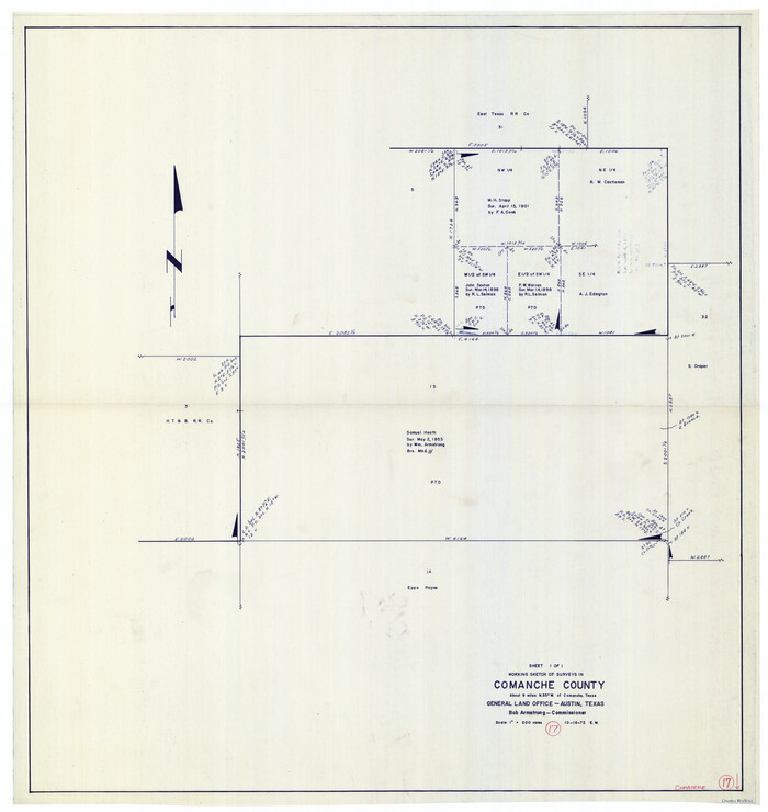
Comanche County Working Sketch 17
1972

Brown County Rolled Sketch 1
1969

Comanche County Working Sketch 16
1969
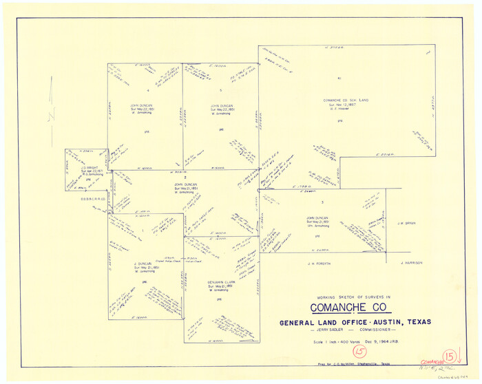
Comanche County Working Sketch 15
1964
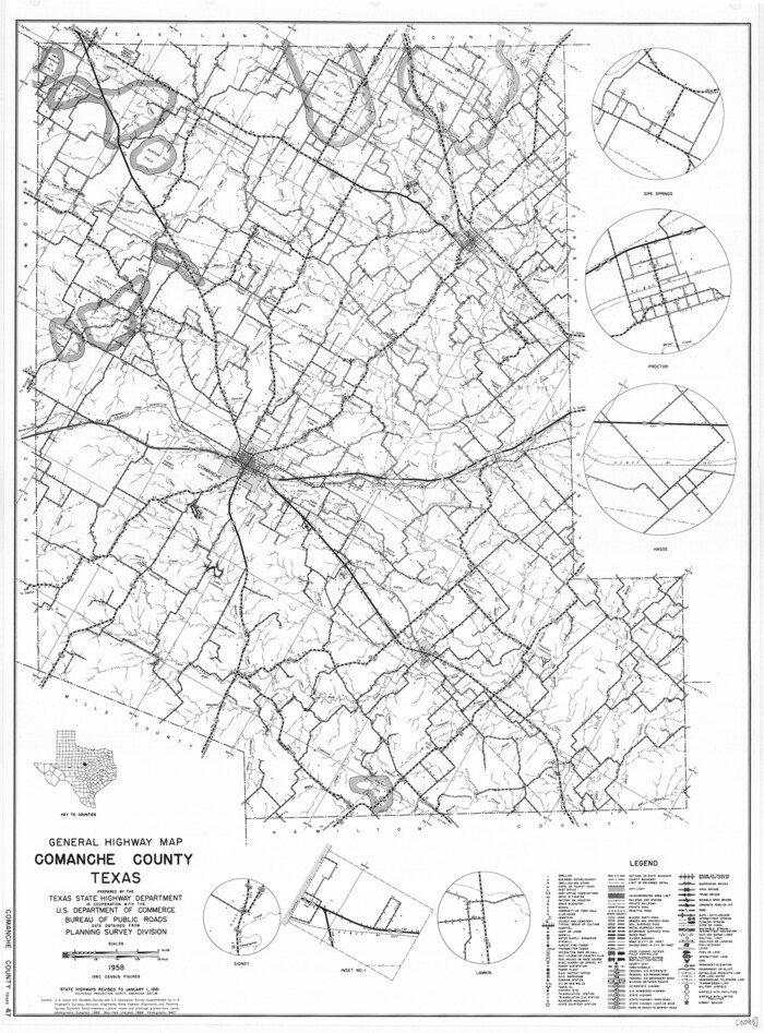
General Highway Map, Comanche County, Texas
1961
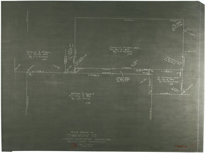
Comanche County Working Sketch 14
1960
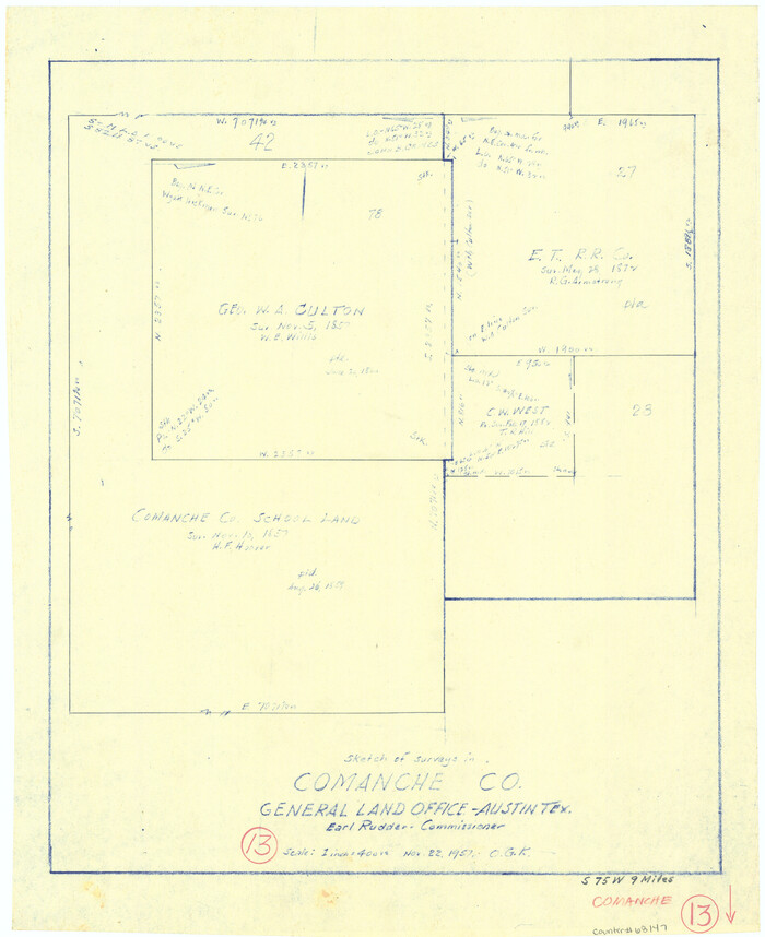
Comanche County Working Sketch 13
1957

Comanche County Working Sketch 12
1957
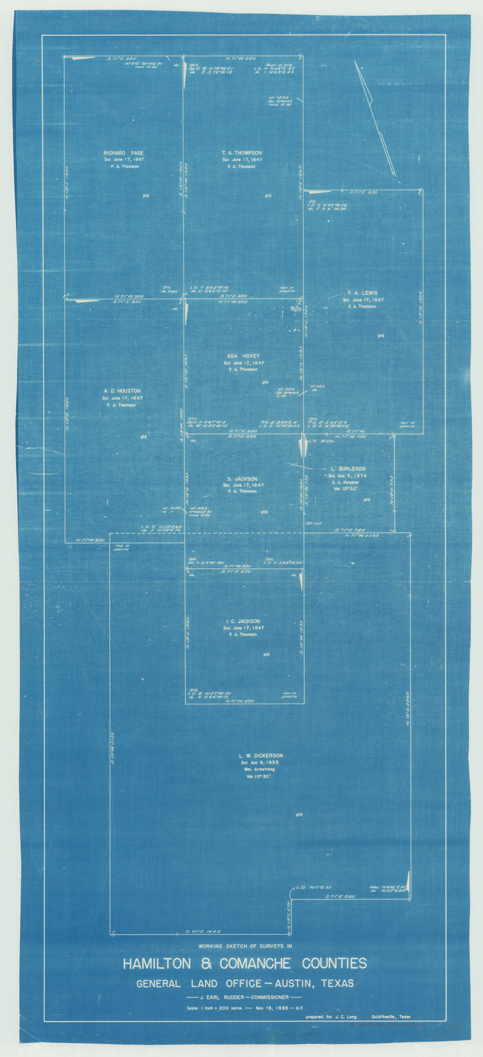
Hamilton County Working Sketch 22
1955

Comanche County Rolled Sketch 3
2017
-
Size
35.1 x 44.9 inches
-
Map/Doc
95384
-
Creation Date
2017

Comanche County Working Sketch 32
1992
-
Size
23.5 x 38.8 inches
-
Map/Doc
68166
-
Creation Date
1992

Comanche County Working Sketch 31
1991
-
Size
28.4 x 24.2 inches
-
Map/Doc
68165
-
Creation Date
1991

Comanche County Rolled Sketch 2
1989
-
Size
36.9 x 48.6 inches
-
Map/Doc
10299
-
Creation Date
1989

Comanche County Working Sketch 30
1988
-
Size
18.8 x 28.2 inches
-
Map/Doc
68164
-
Creation Date
1988

Comanche County Working Sketch 29
1986
-
Size
29.3 x 37.8 inches
-
Map/Doc
68163
-
Creation Date
1986

Comanche County Rolled Sketch 1
1985
-
Size
24.1 x 18.7 inches
-
Map/Doc
5542
-
Creation Date
1985

Comanche County Working Sketch 28
1984
-
Size
22.9 x 25.7 inches
-
Map/Doc
68162
-
Creation Date
1984

Comanche County Working Sketch 27
1983
-
Size
50.2 x 43.5 inches
-
Map/Doc
68161
-
Creation Date
1983

Erath County Working Sketch 46
1983
-
Size
49.6 x 43.1 inches
-
Map/Doc
69127
-
Creation Date
1983

Erath County Working Sketch 44
1981
-
Size
29.7 x 30.4 inches
-
Map/Doc
69125
-
Creation Date
1981

Comanche County Working Sketch 26
1981
-
Size
26.0 x 32.4 inches
-
Map/Doc
68160
-
Creation Date
1981

Erath County Working Sketch 40
1977
-
Size
26.2 x 14.9 inches
-
Map/Doc
69121
-
Creation Date
1977

Comanche County Working Sketch 25
1976
-
Size
34.8 x 31.9 inches
-
Map/Doc
68159
-
Creation Date
1976

Comanche County Working Sketch 24
1975
-
Size
29.8 x 33.4 inches
-
Map/Doc
68158
-
Creation Date
1975

Comanche County Working Sketch 23
1974
-
Size
15.7 x 24.7 inches
-
Map/Doc
68157
-
Creation Date
1974

Comanche County Working Sketch 22
1974
-
Size
23.7 x 23.1 inches
-
Map/Doc
68156
-
Creation Date
1974

Comanche County Working Sketch 21
1973
-
Size
28.0 x 26.1 inches
-
Map/Doc
68155
-
Creation Date
1973

Comanche County Working Sketch 20
1973
-
Size
20.5 x 15.6 inches
-
Map/Doc
68154
-
Creation Date
1973

Comanche County Working Sketch 19
1973
-
Size
28.9 x 40.3 inches
-
Map/Doc
68153
-
Creation Date
1973

Comanche County Working Sketch 18
1973
-
Size
18.3 x 25.2 inches
-
Map/Doc
68152
-
Creation Date
1973

Comanche County Working Sketch 17
1972
-
Size
39.5 x 37.4 inches
-
Map/Doc
68151
-
Creation Date
1972

Brown County Rolled Sketch 1
1969
-
Size
15.4 x 22.1 inches
-
Map/Doc
5348
-
Creation Date
1969

Comanche County Working Sketch 16
1969
-
Size
16.5 x 23.8 inches
-
Map/Doc
68150
-
Creation Date
1969

Comanche County Working Sketch 15
1964
-
Size
20.3 x 25.5 inches
-
Map/Doc
68149
-
Creation Date
1964

General Highway Map, Comanche County, Texas
1961
-
Size
24.7 x 18.2 inches
-
Map/Doc
79419
-
Creation Date
1961

Comanche County Working Sketch 14
1960
-
Size
17.9 x 23.9 inches
-
Map/Doc
68148
-
Creation Date
1960

Comanche County Working Sketch 13
1957
-
Size
18.4 x 15.0 inches
-
Map/Doc
68147
-
Creation Date
1957

Comanche County Working Sketch 12
1957
-
Size
15.4 x 25.5 inches
-
Map/Doc
68146
-
Creation Date
1957

Hamilton County Working Sketch 22
1955
-
Size
41.6 x 19.0 inches
-
Map/Doc
63360
-
Creation Date
1955