
Brown County Rolled Sketch 1
1969
Brown County Sketch File 10a
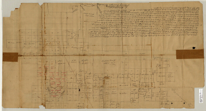
Brown County Sketch File 13

Brown County Sketch File 16
1872
Brown County Sketch File 17
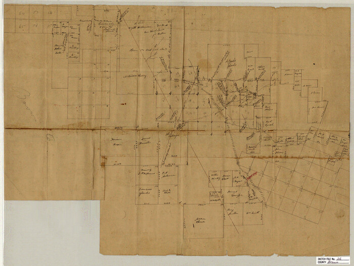
Brown County Sketch File 26

Brown County Sketch File 28
1875
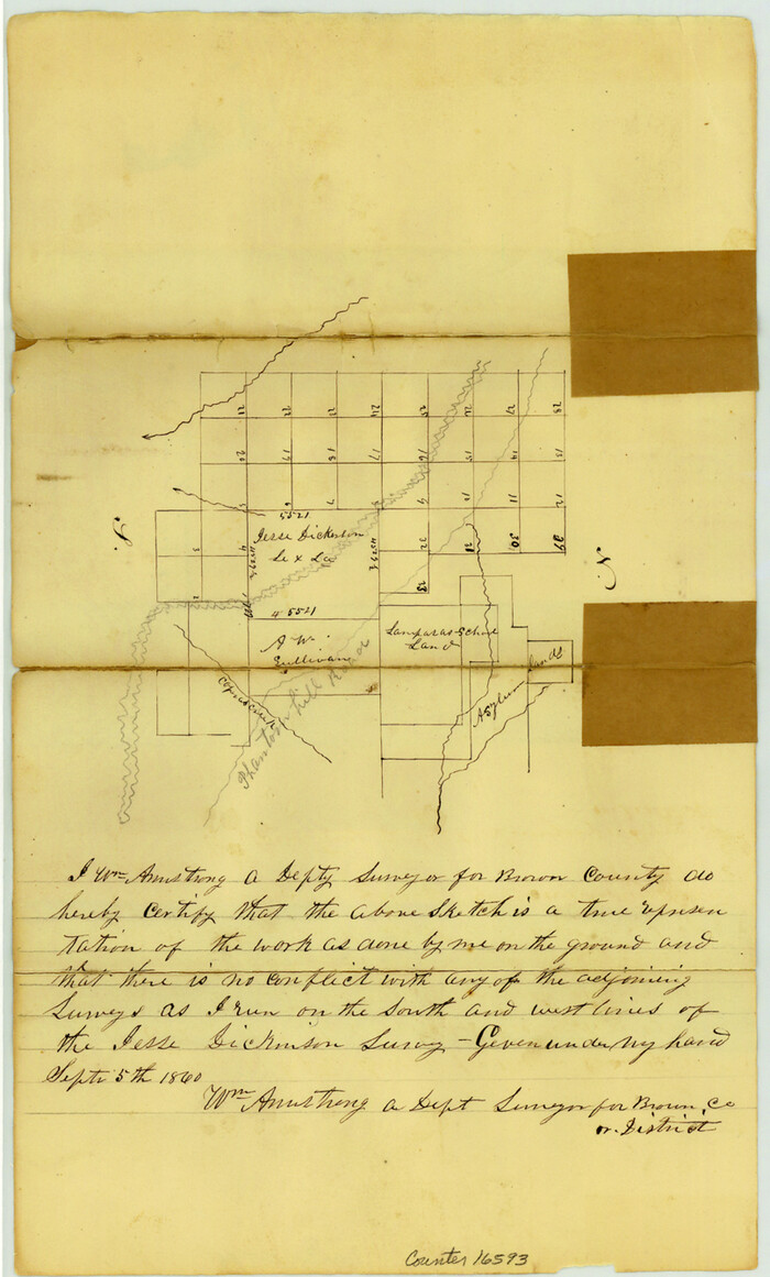
Brown County Sketch File 8
1860

Brown County Working Sketch 2
1919
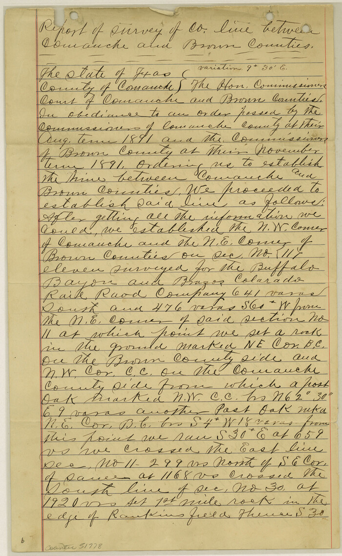
Comanche County Boundary File 1
Comanche County Boundary File 21
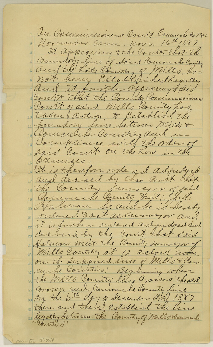
Comanche County Boundary File 2a
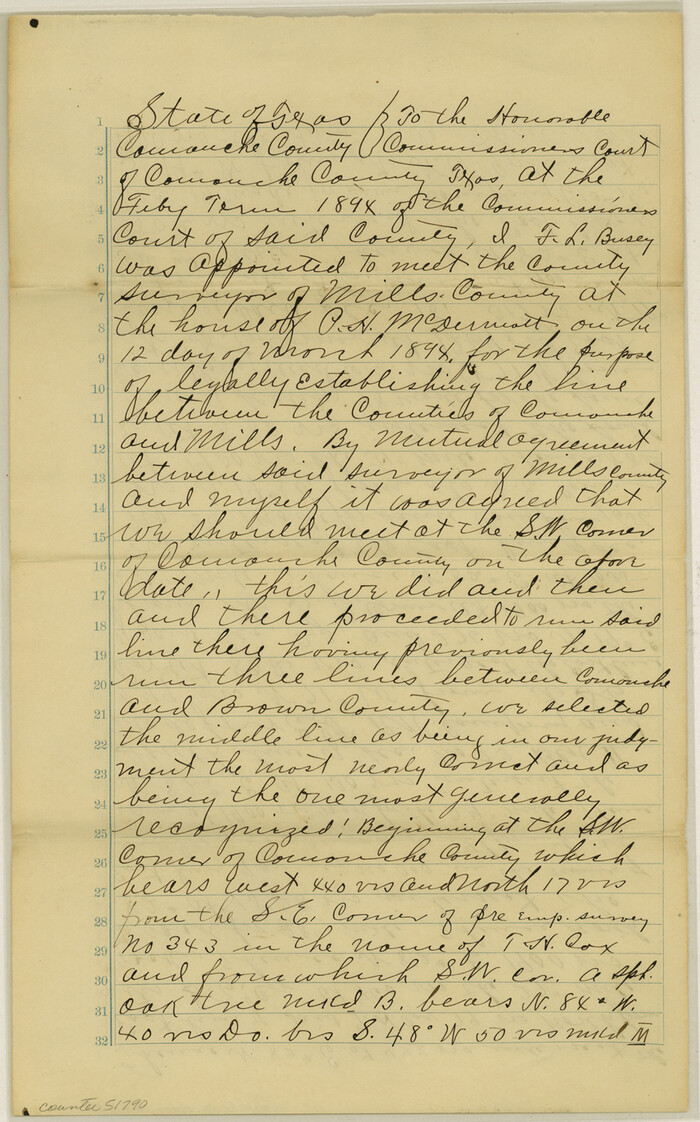
Comanche County Boundary File 2b

Comanche County Boundary File 2c

Comanche County Milam Land District
1876

Comanche County Rolled Sketch 1
1985
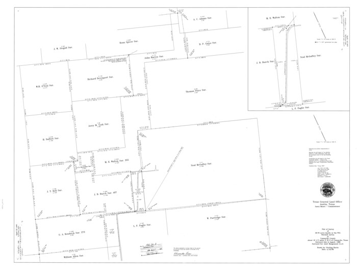
Comanche County Rolled Sketch 2
1989

Comanche County Rolled Sketch 3
2017

Comanche County Sketch File 1
1847

Comanche County Sketch File 10
1859

Brown County Rolled Sketch 1
1969
-
Size
15.4 x 22.1 inches
-
Map/Doc
5348
-
Creation Date
1969

Brown County Sketch File 10a
-
Size
11.2 x 9.8 inches
-
Map/Doc
16595

Brown County Sketch File 13
-
Size
17.9 x 33.1 inches
-
Map/Doc
11020

Brown County Sketch File 16
1872
-
Size
10.8 x 10.1 inches
-
Map/Doc
16612
-
Creation Date
1872

Brown County Sketch File 17
-
Size
15.6 x 12.7 inches
-
Map/Doc
16614

Brown County Sketch File 26
-
Size
18.4 x 24.4 inches
-
Map/Doc
11023

Brown County Sketch File 28
1875
-
Size
11.6 x 8.3 inches
-
Map/Doc
16626
-
Creation Date
1875

Brown County Sketch File 8
1860
-
Size
13.4 x 8.1 inches
-
Map/Doc
16593
-
Creation Date
1860

Brown County Working Sketch 2
1919
-
Size
17.0 x 17.5 inches
-
Map/Doc
67767
-
Creation Date
1919

Comanche Co.
1884
-
Size
42.3 x 36.6 inches
-
Map/Doc
66781
-
Creation Date
1884

Comanche Co.
1944
-
Size
42.7 x 46.5 inches
-
Map/Doc
73114
-
Creation Date
1944
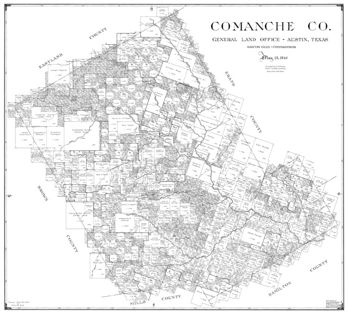
Comanche Co.
1944
-
Size
40.4 x 44.7 inches
-
Map/Doc
77246
-
Creation Date
1944
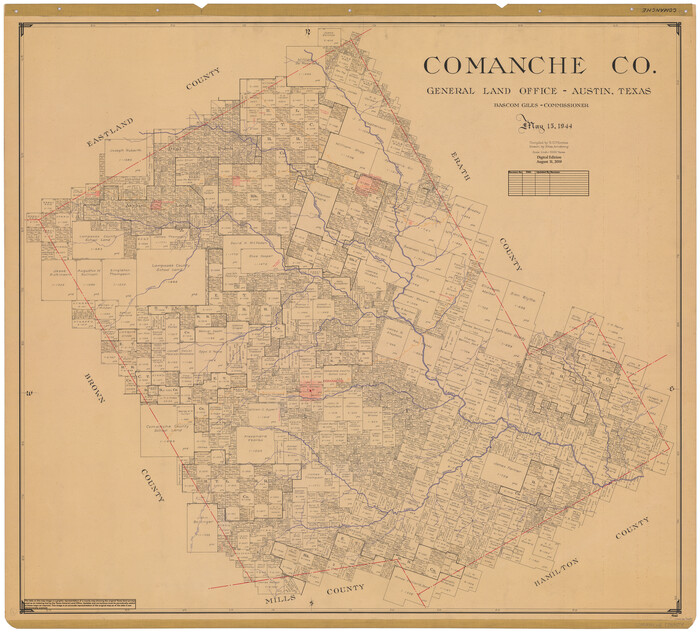
Comanche Co.
1944
-
Size
43.2 x 47.9 inches
-
Map/Doc
95463
-
Creation Date
1944
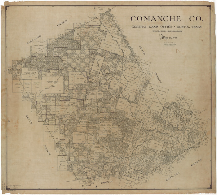
Comanche County
1944
-
Size
42.2 x 46.9 inches
-
Map/Doc
1807
-
Creation Date
1944

Comanche County
1896
-
Size
39.4 x 44.2 inches
-
Map/Doc
4734
-
Creation Date
1896

Comanche County
1896
-
Size
41.7 x 44.8 inches
-
Map/Doc
4736
-
Creation Date
1896
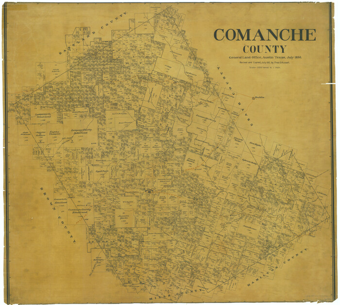
Comanche County
1896
-
Size
40.5 x 45.1 inches
-
Map/Doc
66783
-
Creation Date
1896
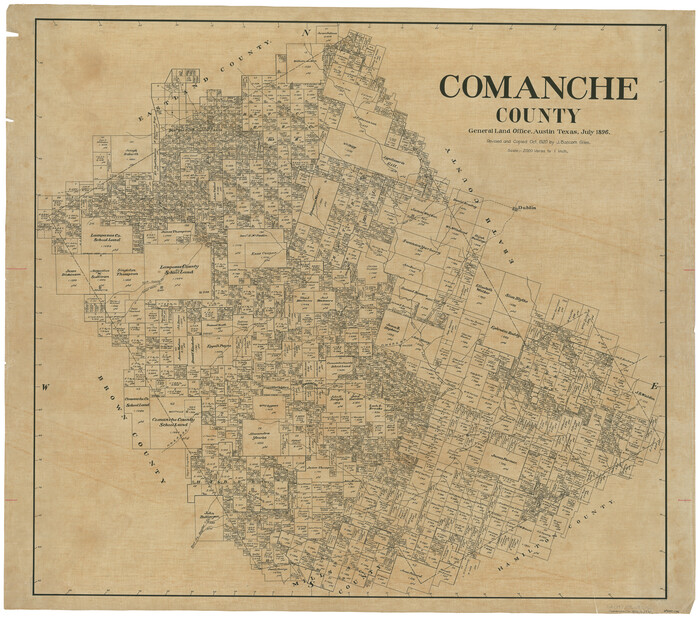
Comanche County
1896
-
Size
42.2 x 47.6 inches
-
Map/Doc
66784
-
Creation Date
1896
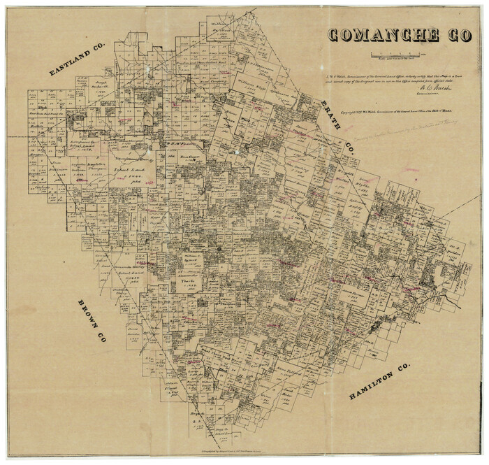
Comanche County
1879
-
Size
23.0 x 24.7 inches
-
Map/Doc
944
-
Creation Date
1879

Comanche County Boundary File 1
-
Size
14.4 x 8.8 inches
-
Map/Doc
51778

Comanche County Boundary File 21
-
Size
8.3 x 3.7 inches
-
Map/Doc
51800

Comanche County Boundary File 2a
-
Size
14.3 x 8.8 inches
-
Map/Doc
51788

Comanche County Boundary File 2b
-
Size
14.3 x 8.9 inches
-
Map/Doc
51790

Comanche County Boundary File 2c
-
Size
14.3 x 8.9 inches
-
Map/Doc
51796

Comanche County Milam Land District
1876
-
Size
22.1 x 23.0 inches
-
Map/Doc
3433
-
Creation Date
1876

Comanche County Rolled Sketch 1
1985
-
Size
24.1 x 18.7 inches
-
Map/Doc
5542
-
Creation Date
1985

Comanche County Rolled Sketch 2
1989
-
Size
36.9 x 48.6 inches
-
Map/Doc
10299
-
Creation Date
1989

Comanche County Rolled Sketch 3
2017
-
Size
35.1 x 44.9 inches
-
Map/Doc
95384
-
Creation Date
2017

Comanche County Sketch File 1
1847
-
Size
15.4 x 11.8 inches
-
Map/Doc
19051
-
Creation Date
1847

Comanche County Sketch File 10
1859
-
Size
8.4 x 16.0 inches
-
Map/Doc
19070
-
Creation Date
1859