Cooke County Sketch File 40


Print $20.00
- Digital $50.00
Cooke County Sketch File 40
Size: 36.3 x 34.0 inches
10341
Cooke County Sketch File 2
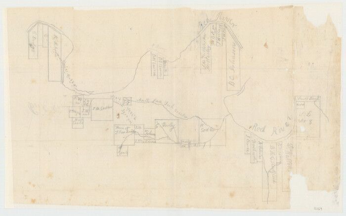

Print $20.00
- Digital $50.00
Cooke County Sketch File 2
Size: 9.6 x 21.6 inches
11169
Cooke County Sketch File 3a


Print $20.00
- Digital $50.00
Cooke County Sketch File 3a
Size: 18.8 x 10.4 inches
11170
Cooke County Sketch File 38 1/2


Print $20.00
- Digital $50.00
Cooke County Sketch File 38 1/2
Size: 21.5 x 16.6 inches
11175
Cooke County Sketch File 8
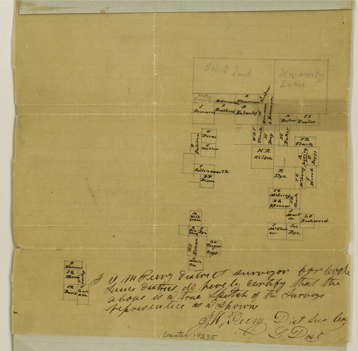

Print $4.00
- Digital $50.00
Cooke County Sketch File 8
Size: 8.2 x 8.4 inches
19235
Cooke County Sketch File 9


Print $6.00
- Digital $50.00
Cooke County Sketch File 9
Size: 8.2 x 10.5 inches
19237
Cooke County Sketch File 9a
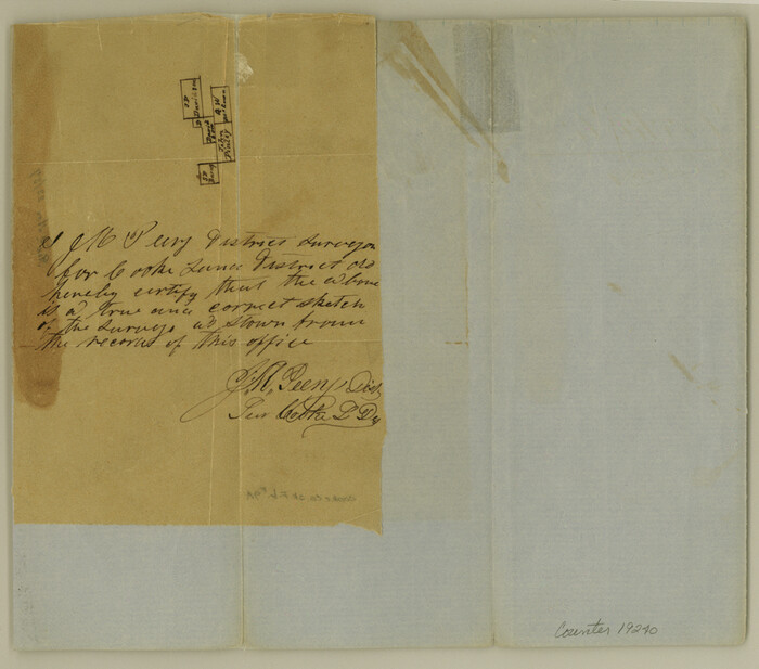

Print $4.00
- Digital $50.00
Cooke County Sketch File 9a
Size: 8.2 x 9.4 inches
19240
Cooke County Sketch File 12
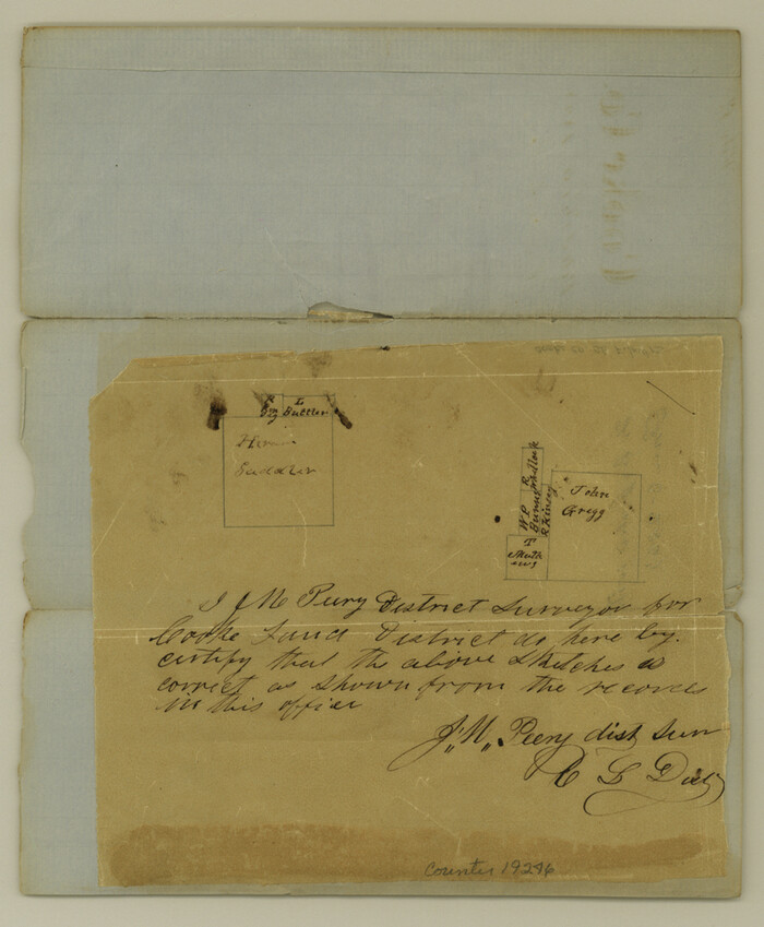

Print $4.00
- Digital $50.00
Cooke County Sketch File 12
Size: 10.1 x 8.3 inches
19246
Cooke County Sketch File 14


Print $4.00
- Digital $50.00
Cooke County Sketch File 14
Size: 10.3 x 8.2 inches
19248
Cooke County Sketch File 21
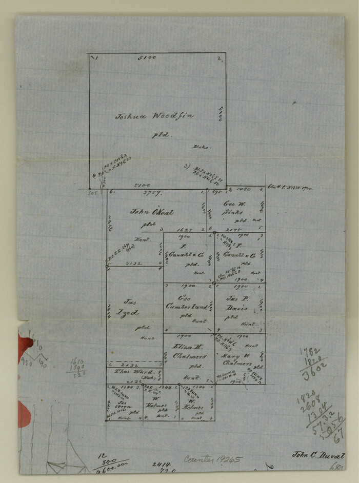

Print $4.00
- Digital $50.00
Cooke County Sketch File 21
Size: 9.0 x 6.7 inches
19265
Cooke County Sketch File 27


Print $24.00
- Digital $50.00
Cooke County Sketch File 27
Size: 9.8 x 8.5 inches
19279
Cooke County Sketch File 30
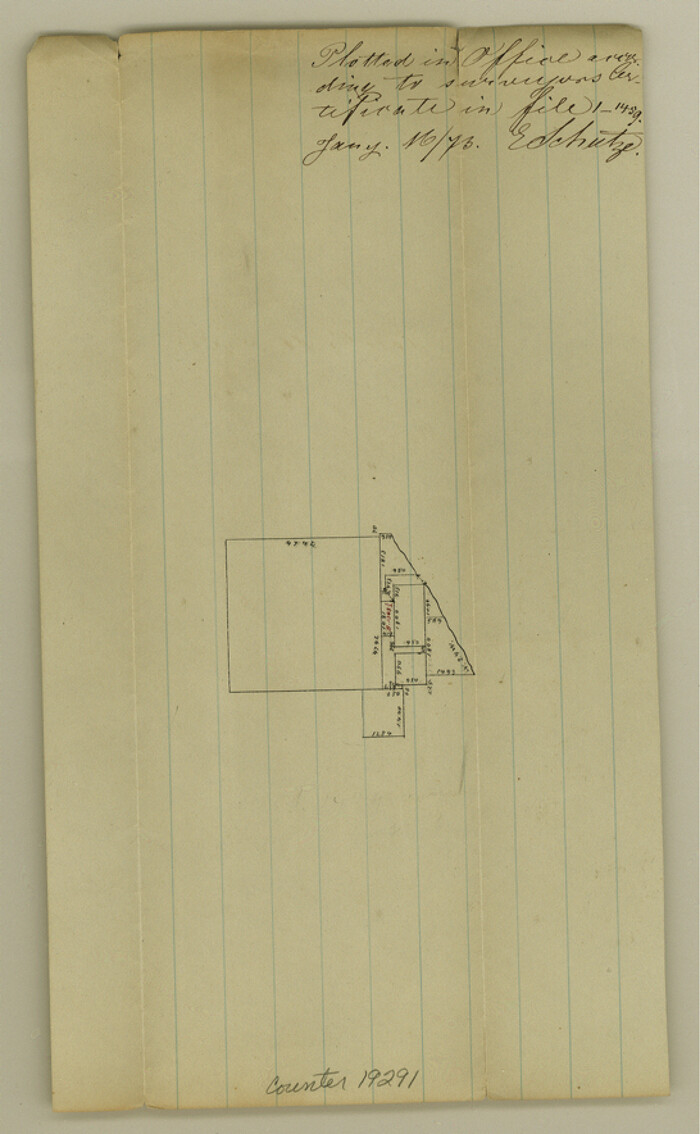

Print $4.00
- Digital $50.00
Cooke County Sketch File 30
Size: 8.8 x 5.5 inches
19291
Cooke County Sketch File 34


Print $44.00
- Digital $50.00
Cooke County Sketch File 34
Size: 11.8 x 8.2 inches
19298
Cooke County Sketch File 37
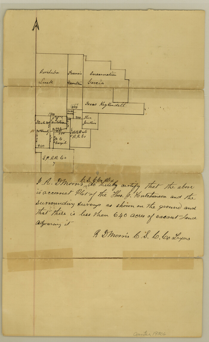

Print $4.00
- Digital $50.00
Cooke County Sketch File 37
Size: 13.1 x 8.0 inches
19306
Cooke County Sketch File 43
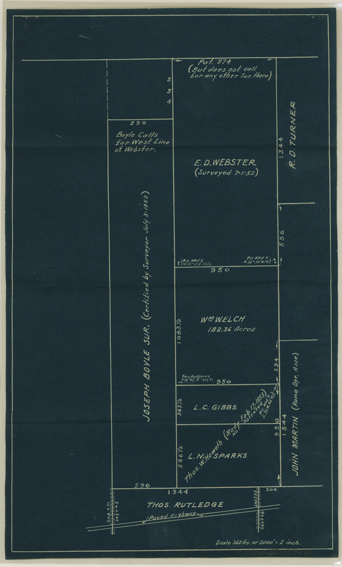

Print $28.00
- Digital $50.00
Cooke County Sketch File 43
Size: 14.4 x 8.7 inches
19320
Grayson County Sketch File 21


Print $14.00
- Digital $50.00
Grayson County Sketch File 21
Size: 7.7 x 17.8 inches
24495
Montague County Sketch File 8


Print $22.00
- Digital $50.00
Montague County Sketch File 8
Size: 8.1 x 3.7 inches
31722
Montague County Sketch File 12


Print $4.00
- Digital $50.00
Montague County Sketch File 12
Size: 11.4 x 8.2 inches
31736
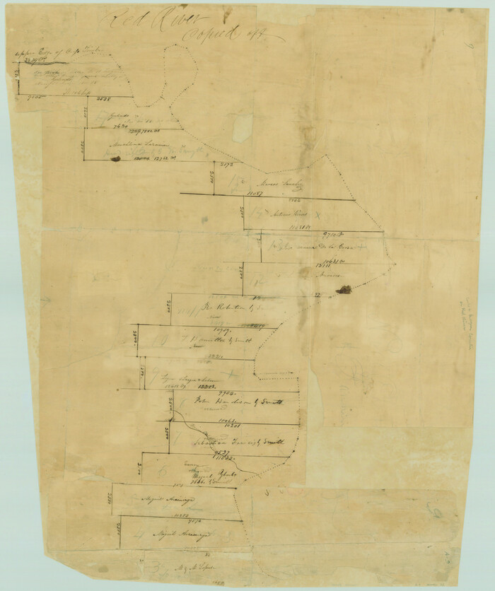
[Surveys along the Red River made for titles under Radford Berry, Commissioner]

Print $20.00
- Digital $50.00
[Surveys along the Red River made for titles under Radford Berry, Commissioner]
Size: 23.3 x 19.5 inches
32
Cooke County Boundary File 1


Print $4.00
- Digital $50.00
Cooke County Boundary File 1
Size: 12.6 x 7.5 inches
51826
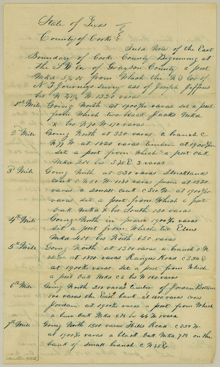
Cooke County Boundary File 1a

Print $32.00
- Digital $50.00
Cooke County Boundary File 1a
Size: 12.6 x 7.5 inches
51828
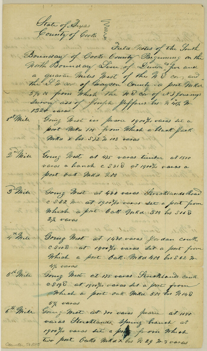
Cooke County Boundary File 1b

Print $28.00
- Digital $50.00
Cooke County Boundary File 1b
Size: 12.6 x 7.4 inches
51835
Cooke County Boundary File 2


Print $19.00
- Digital $50.00
Cooke County Boundary File 2
Size: 12.1 x 7.6 inches
51840
Cooke County Boundary File 2a


Print $8.00
- Digital $50.00
Cooke County Boundary File 2a
Size: 12.2 x 7.7 inches
51849
Cooke County Boundary File 3


Print $4.00
- Digital $50.00
Cooke County Boundary File 3
Size: 7.3 x 8.7 inches
51853
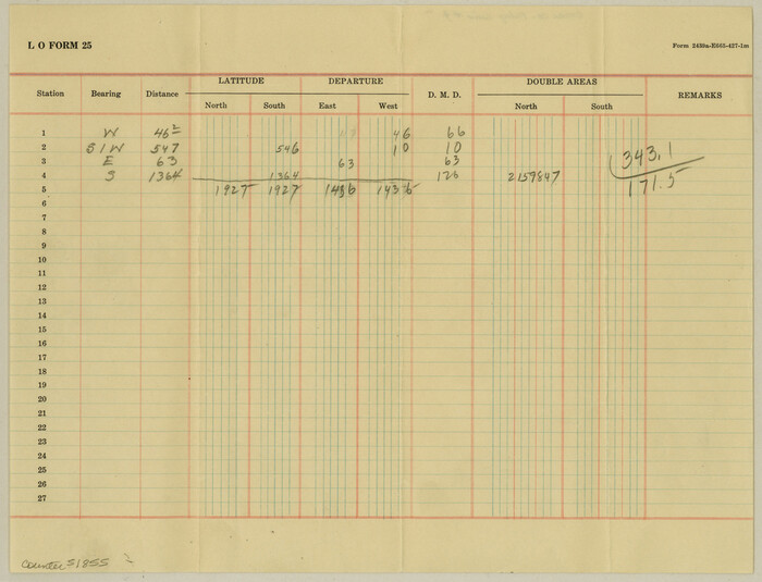
Cooke County Boundary File 4

Print $6.00
- Digital $50.00
Cooke County Boundary File 4
Size: 8.6 x 11.3 inches
51855
Cooke County Boundary File 19


Print $30.00
- Digital $50.00
Cooke County Boundary File 19
Size: 8.7 x 4.0 inches
51858
Cooke County Boundary File 20


Print $88.00
- Digital $50.00
Cooke County Boundary File 20
Size: 3.2 x 8.6 inches
51873
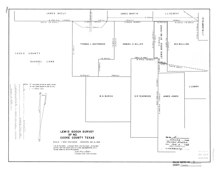
Cooke County Rolled Sketch 4

Print $20.00
- Digital $50.00
Cooke County Rolled Sketch 4
Size: 18.1 x 23.1 inches
5562
[Map of Located Land of Gulf, Colorado & Santa Fe Ry. Co. through Denton]


Print $40.00
- Digital $50.00
[Map of Located Land of Gulf, Colorado & Santa Fe Ry. Co. through Denton]
Size: 122.8 x 28.3 inches
64340
Cooke County Sketch File 40


Print $20.00
- Digital $50.00
Cooke County Sketch File 40
-
Size
36.3 x 34.0 inches
-
Map/Doc
10341
Cooke County Sketch File 2


Print $20.00
- Digital $50.00
Cooke County Sketch File 2
-
Size
9.6 x 21.6 inches
-
Map/Doc
11169
Cooke County Sketch File 3a


Print $20.00
- Digital $50.00
Cooke County Sketch File 3a
-
Size
18.8 x 10.4 inches
-
Map/Doc
11170
Cooke County Sketch File 38 1/2


Print $20.00
- Digital $50.00
Cooke County Sketch File 38 1/2
-
Size
21.5 x 16.6 inches
-
Map/Doc
11175
Cooke County Sketch File 8


Print $4.00
- Digital $50.00
Cooke County Sketch File 8
-
Size
8.2 x 8.4 inches
-
Map/Doc
19235
Cooke County Sketch File 9


Print $6.00
- Digital $50.00
Cooke County Sketch File 9
-
Size
8.2 x 10.5 inches
-
Map/Doc
19237
Cooke County Sketch File 9a


Print $4.00
- Digital $50.00
Cooke County Sketch File 9a
-
Size
8.2 x 9.4 inches
-
Map/Doc
19240
Cooke County Sketch File 12


Print $4.00
- Digital $50.00
Cooke County Sketch File 12
-
Size
10.1 x 8.3 inches
-
Map/Doc
19246
Cooke County Sketch File 14


Print $4.00
- Digital $50.00
Cooke County Sketch File 14
-
Size
10.3 x 8.2 inches
-
Map/Doc
19248
Cooke County Sketch File 21


Print $4.00
- Digital $50.00
Cooke County Sketch File 21
-
Size
9.0 x 6.7 inches
-
Map/Doc
19265
Cooke County Sketch File 27


Print $24.00
- Digital $50.00
Cooke County Sketch File 27
-
Size
9.8 x 8.5 inches
-
Map/Doc
19279
Cooke County Sketch File 30


Print $4.00
- Digital $50.00
Cooke County Sketch File 30
-
Size
8.8 x 5.5 inches
-
Map/Doc
19291
Cooke County Sketch File 34


Print $44.00
- Digital $50.00
Cooke County Sketch File 34
-
Size
11.8 x 8.2 inches
-
Map/Doc
19298
Cooke County Sketch File 37


Print $4.00
- Digital $50.00
Cooke County Sketch File 37
-
Size
13.1 x 8.0 inches
-
Map/Doc
19306
Cooke County Sketch File 43


Print $28.00
- Digital $50.00
Cooke County Sketch File 43
-
Size
14.4 x 8.7 inches
-
Map/Doc
19320
Grayson County Sketch File 21


Print $14.00
- Digital $50.00
Grayson County Sketch File 21
-
Size
7.7 x 17.8 inches
-
Map/Doc
24495
Montague County Sketch File 8


Print $22.00
- Digital $50.00
Montague County Sketch File 8
-
Size
8.1 x 3.7 inches
-
Map/Doc
31722
Montague County Sketch File 12


Print $4.00
- Digital $50.00
Montague County Sketch File 12
-
Size
11.4 x 8.2 inches
-
Map/Doc
31736
[Surveys along the Red River made for titles under Radford Berry, Commissioner]
![32, [Surveys along the Red River made for titles under Radford Berry, Commissioner], General Map Collection](https://historictexasmaps.com/wmedia_w700/maps/32.tif.jpg)
![32, [Surveys along the Red River made for titles under Radford Berry, Commissioner], General Map Collection](https://historictexasmaps.com/wmedia_w700/maps/32.tif.jpg)
Print $20.00
- Digital $50.00
[Surveys along the Red River made for titles under Radford Berry, Commissioner]
-
Size
23.3 x 19.5 inches
-
Map/Doc
32
Cooke County Boundary File 1


Print $4.00
- Digital $50.00
Cooke County Boundary File 1
-
Size
12.6 x 7.5 inches
-
Map/Doc
51826
Cooke County Boundary File 1a


Print $32.00
- Digital $50.00
Cooke County Boundary File 1a
-
Size
12.6 x 7.5 inches
-
Map/Doc
51828
Cooke County Boundary File 1b


Print $28.00
- Digital $50.00
Cooke County Boundary File 1b
-
Size
12.6 x 7.4 inches
-
Map/Doc
51835
Cooke County Boundary File 2


Print $19.00
- Digital $50.00
Cooke County Boundary File 2
-
Size
12.1 x 7.6 inches
-
Map/Doc
51840
Cooke County Boundary File 2a


Print $8.00
- Digital $50.00
Cooke County Boundary File 2a
-
Size
12.2 x 7.7 inches
-
Map/Doc
51849
Cooke County Boundary File 3


Print $4.00
- Digital $50.00
Cooke County Boundary File 3
-
Size
7.3 x 8.7 inches
-
Map/Doc
51853
Cooke County Boundary File 4


Print $6.00
- Digital $50.00
Cooke County Boundary File 4
-
Size
8.6 x 11.3 inches
-
Map/Doc
51855
Cooke County Boundary File 19


Print $30.00
- Digital $50.00
Cooke County Boundary File 19
-
Size
8.7 x 4.0 inches
-
Map/Doc
51858
Cooke County Boundary File 20


Print $88.00
- Digital $50.00
Cooke County Boundary File 20
-
Size
3.2 x 8.6 inches
-
Map/Doc
51873
Cooke County Rolled Sketch 4


Print $20.00
- Digital $50.00
Cooke County Rolled Sketch 4
-
Size
18.1 x 23.1 inches
-
Map/Doc
5562
[Map of Located Land of Gulf, Colorado & Santa Fe Ry. Co. through Denton]
![64340, [Map of Located Land of Gulf, Colorado & Santa Fe Ry. Co. through Denton], General Map Collection](https://historictexasmaps.com/wmedia_w700/maps/64340.tif.jpg)
![64340, [Map of Located Land of Gulf, Colorado & Santa Fe Ry. Co. through Denton], General Map Collection](https://historictexasmaps.com/wmedia_w700/maps/64340.tif.jpg)
Print $40.00
- Digital $50.00
[Map of Located Land of Gulf, Colorado & Santa Fe Ry. Co. through Denton]
-
Size
122.8 x 28.3 inches
-
Map/Doc
64340