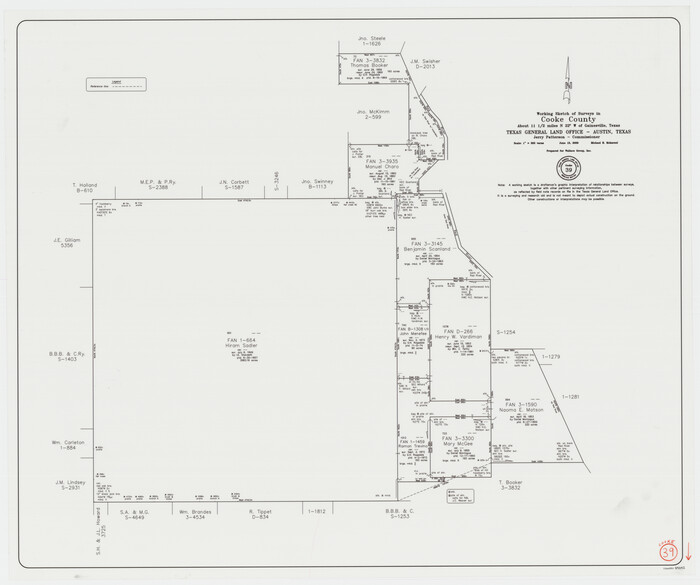
Cooke County Working Sketch 39
2009
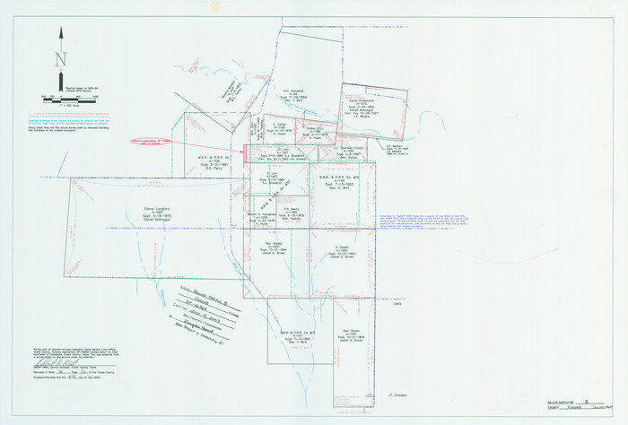
Cooke County Rolled Sketch 8
2003

Cooke County Sketch File 47
2003

Cooke County Rolled Sketch 7
2002

Cooke County Sketch File 46
2002

Lebanon Quadrangle
1999

Dexter Quadrangle
1999
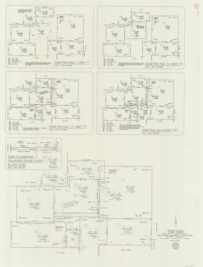
Cooke County Working Sketch 38
1997

Cooke County Working Sketch 37
1995
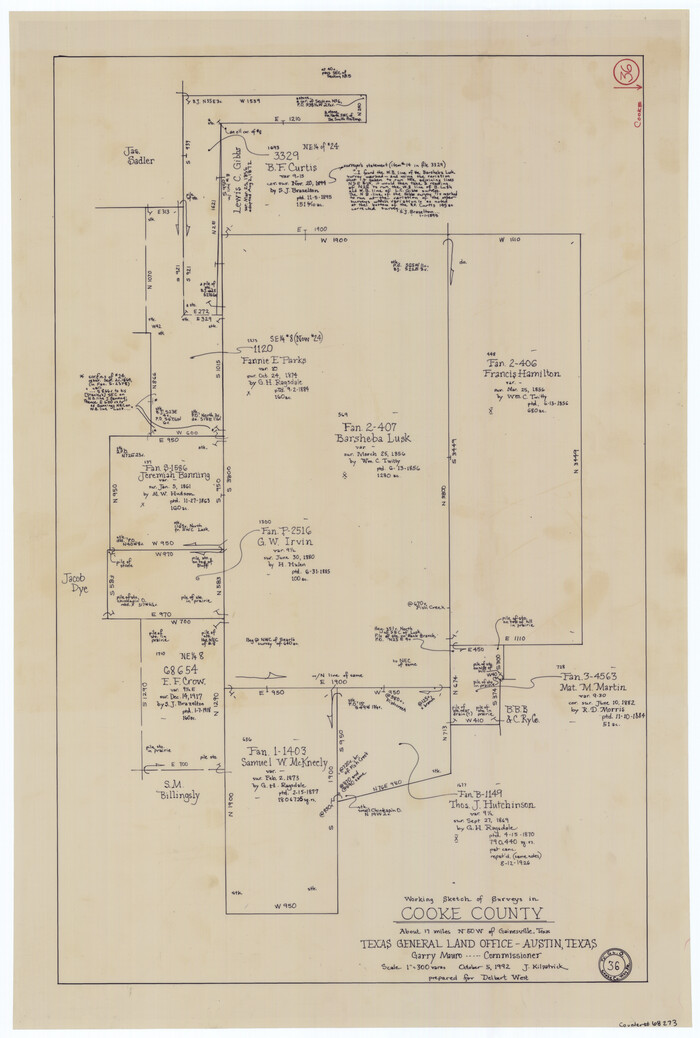
Cooke County Working Sketch 36
1992

Grayson County Sketch File 28
1990
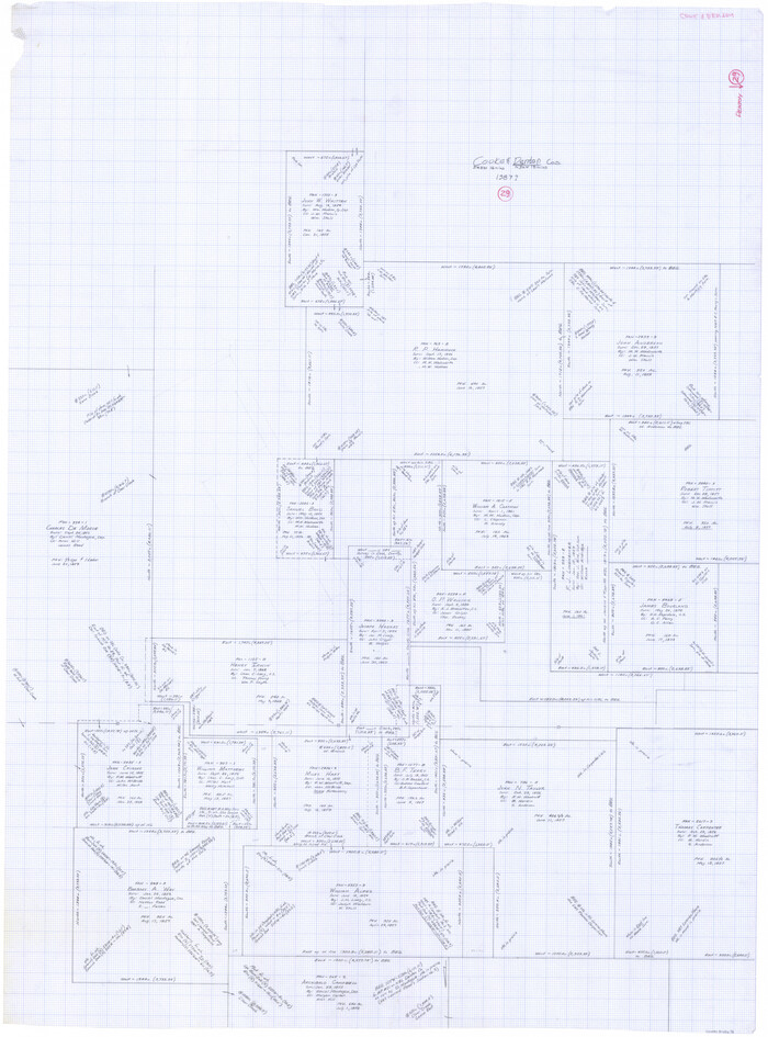
Denton County Working Sketch 29
1987
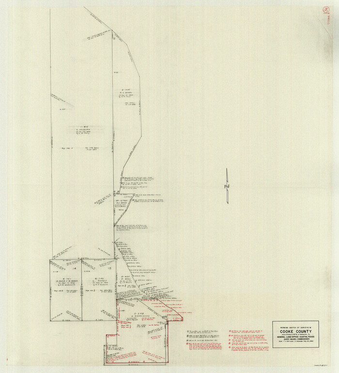
Cooke County Working Sketch 34
1984

Cooke County Working Sketch 33
1984

Cooke County Working Sketch 32
1982
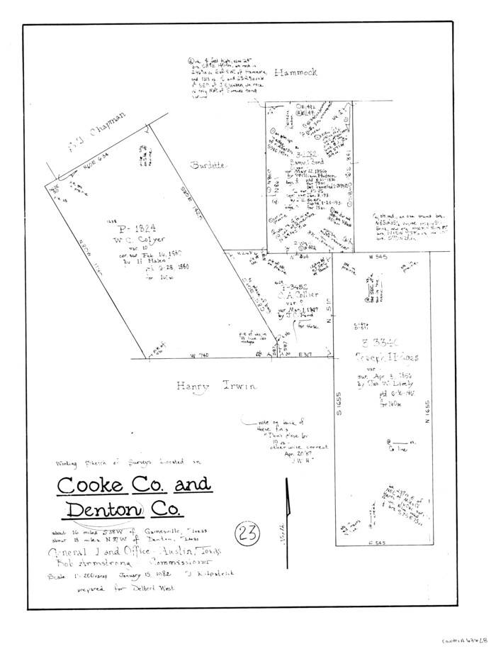
Denton County Working Sketch 23
1982
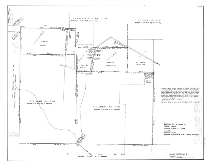
Cooke County Rolled Sketch 6
1981
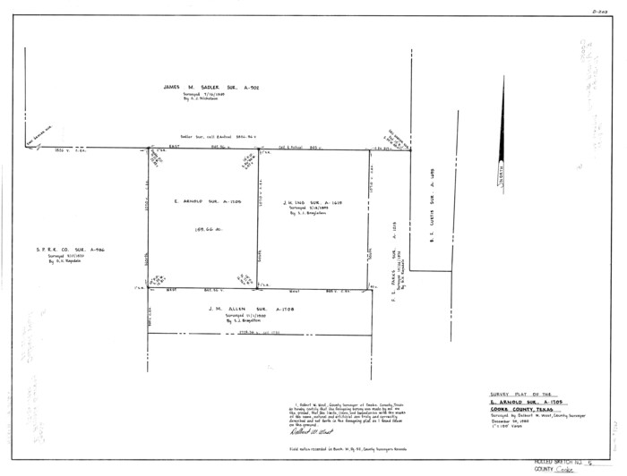
Cooke County Rolled Sketch 5
1980

Cooke County Working Sketch 31
1980

Cooke County Working Sketch 30
1979
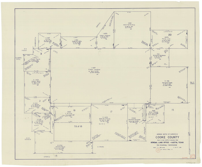
Cooke County Working Sketch 29
1977
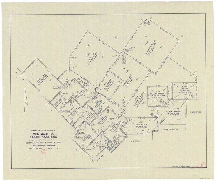
Cooke County Working Sketch 28
1976
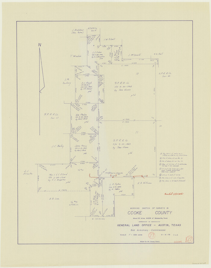
Cooke County Working Sketch 27
1975
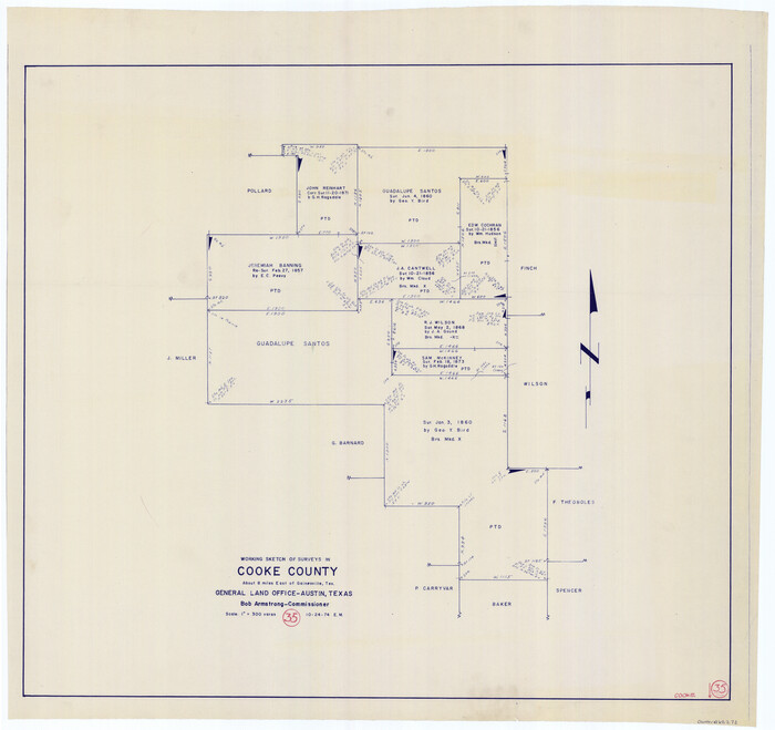
Cooke County Working Sketch 35
1974
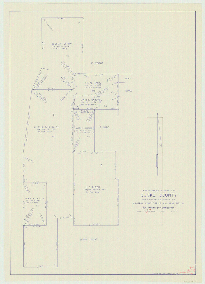
Cooke County Working Sketch 25
1974
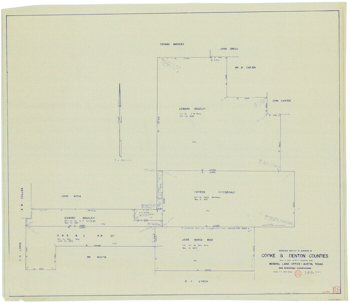
Cooke County Working Sketch 26
1974
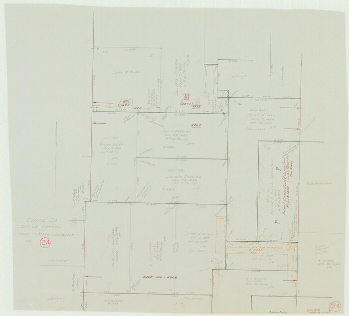
Cooke County Working Sketch 24
1972
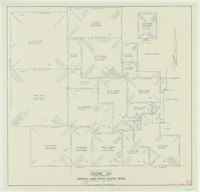
Cooke County Working Sketch 23
1969
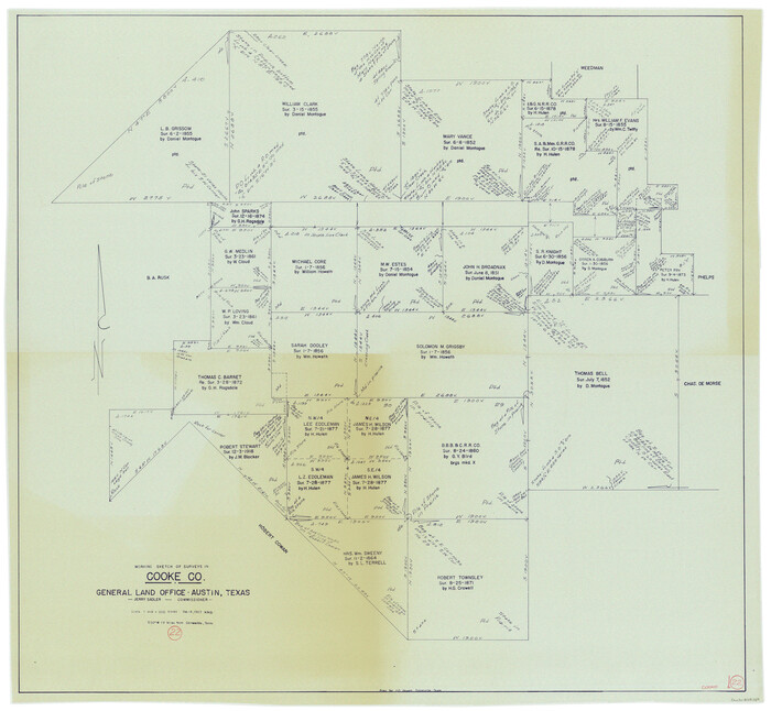
Cooke County Working Sketch 22
1963

Grayson County Working Sketch 21
1961

Cooke County Working Sketch 39
2009
-
Size
30.5 x 36.5 inches
-
Map/Doc
89042
-
Creation Date
2009

Cooke County Rolled Sketch 8
2003
-
Size
24.5 x 36.2 inches
-
Map/Doc
78649
-
Creation Date
2003

Cooke County Sketch File 47
2003
-
Size
26.6 x 18.4 inches
-
Map/Doc
78650
-
Creation Date
2003

Cooke County Rolled Sketch 7
2002
-
Size
44.8 x 34.9 inches
-
Map/Doc
77525
-
Creation Date
2002

Cooke County Sketch File 46
2002
-
Size
10.5 x 8.0 inches
-
Map/Doc
82578
-
Creation Date
2002

Lebanon Quadrangle
1999
USGS Topo Sheet showing plotted Texoma Area Boundary
-
Size
35.4 x 23.4 inches
-
Map/Doc
97360
-
Creation Date
1999

Dexter Quadrangle
1999
USGS Topo Sheet showing plotted Texoma Area Boundary
-
Size
35.4 x 23.4 inches
-
Map/Doc
97361
-
Creation Date
1999

Cooke County Working Sketch 38
1997
-
Size
48.2 x 36.6 inches
-
Map/Doc
68275
-
Creation Date
1997

Cooke County Working Sketch 37
1995
-
Size
21.7 x 18.9 inches
-
Map/Doc
68274
-
Creation Date
1995

Cooke County Working Sketch 36
1992
-
Size
29.0 x 19.6 inches
-
Map/Doc
68273
-
Creation Date
1992

Grayson County Sketch File 28
1990
-
Size
14.3 x 8.8 inches
-
Map/Doc
24517
-
Creation Date
1990

Denton County Working Sketch 29
1987
-
Size
49.7 x 36.8 inches
-
Map/Doc
68634
-
Creation Date
1987

Cooke County Working Sketch 34
1984
-
Size
41.7 x 38.0 inches
-
Map/Doc
68271
-
Creation Date
1984

Cooke County Working Sketch 33
1984
-
Size
25.6 x 28.6 inches
-
Map/Doc
68270
-
Creation Date
1984

Cooke County Working Sketch 32
1982
-
Size
19.0 x 14.8 inches
-
Map/Doc
68269
-
Creation Date
1982

Denton County Working Sketch 23
1982
-
Size
18.6 x 14.1 inches
-
Map/Doc
68628
-
Creation Date
1982

Cooke County Rolled Sketch 6
1981
-
Size
19.7 x 25.1 inches
-
Map/Doc
5564
-
Creation Date
1981

Cooke County Rolled Sketch 5
1980
-
Size
18.2 x 24.0 inches
-
Map/Doc
5563
-
Creation Date
1980

Cooke County Working Sketch 31
1980
-
Size
27.0 x 32.2 inches
-
Map/Doc
68268
-
Creation Date
1980

Cooke County Working Sketch 30
1979
-
Size
26.6 x 28.4 inches
-
Map/Doc
68267
-
Creation Date
1979

Cooke County Working Sketch 29
1977
-
Size
28.7 x 35.0 inches
-
Map/Doc
68266
-
Creation Date
1977

Cooke County Working Sketch 28
1976
-
Size
28.4 x 34.1 inches
-
Map/Doc
68265
-
Creation Date
1976

Cooke County Working Sketch 27
1975
-
Size
29.7 x 23.3 inches
-
Map/Doc
68264
-
Creation Date
1975

Cooke County Working Sketch 35
1974
-
Size
30.7 x 32.6 inches
-
Map/Doc
68272
-
Creation Date
1974

Cooke County Working Sketch 25
1974
-
Size
31.7 x 22.9 inches
-
Map/Doc
68262
-
Creation Date
1974

Cooke County Working Sketch 26
1974
-
Size
33.9 x 39.2 inches
-
Map/Doc
68263
-
Creation Date
1974

Cooke County Working Sketch 24
1972
-
Size
22.1 x 24.4 inches
-
Map/Doc
68261
-
Creation Date
1972

Cooke County Working Sketch 23
1969
-
Size
32.1 x 33.4 inches
-
Map/Doc
68260
-
Creation Date
1969

Cooke County Working Sketch 22
1963
-
Size
37.0 x 40.2 inches
-
Map/Doc
68259
-
Creation Date
1963

Grayson County Working Sketch 21
1961
-
Size
42.6 x 26.5 inches
-
Map/Doc
63260
-
Creation Date
1961