
Cottle County Working Sketch 24
2014

Cottle County Sketch File 18
2004

Cottle County Rolled Sketch 15
2004

Cottle County Working Sketch 23
1992

Cottle County Working Sketch 22
1982

Foard County Working Sketch 15
1982
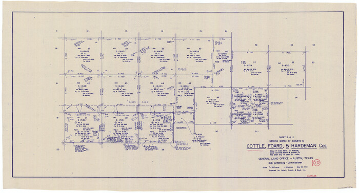
Cottle County Working Sketch 20
1982

Hardeman County Working Sketch 16
1982
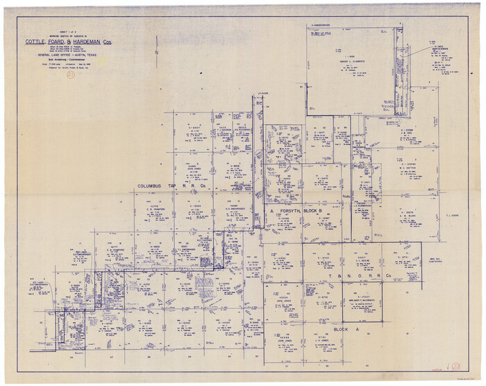
Cottle County Working Sketch 21
1982

Foard County Working Sketch 14
1982

Cottle County Working Sketch 19
1978

Cottle County Working Sketch 18
1977

Cottle County Sketch File H
1976

Cottle County Rolled Sketch 13
1976
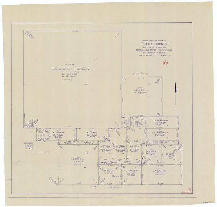
Cottle County Working Sketch 17
1975
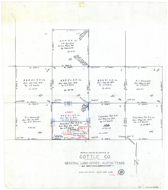
Cottle County Working Sketch 16
1975
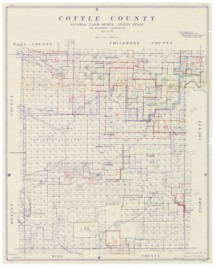
Cottle County Working Sketch Graphic Index
1971
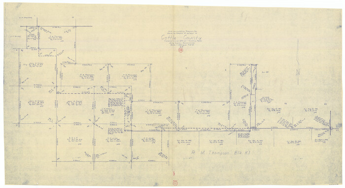
Cottle County Working Sketch 15
1965

Cottle County Rolled Sketch 12
1963
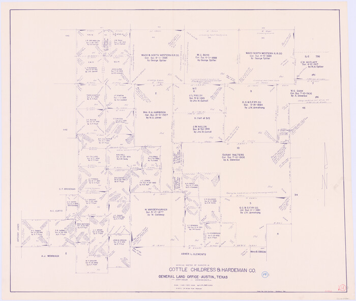
Cottle County Working Sketch 14B
1963
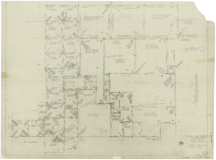
Cottle County Working Sketch 14a
1963
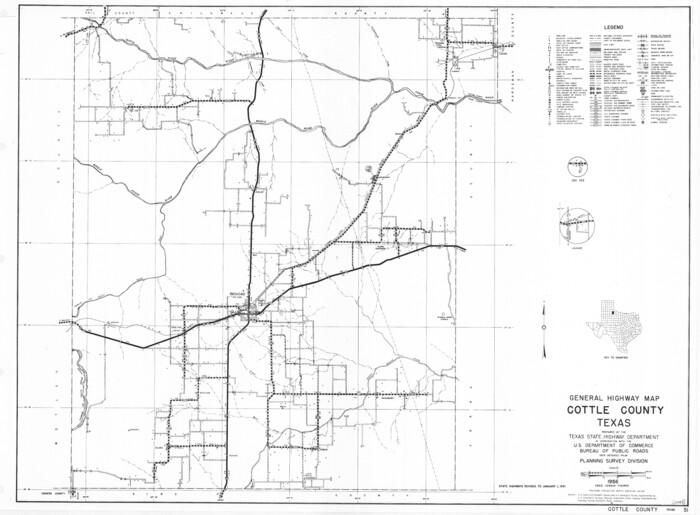
General Highway Map, Cottle County, Texas
1961
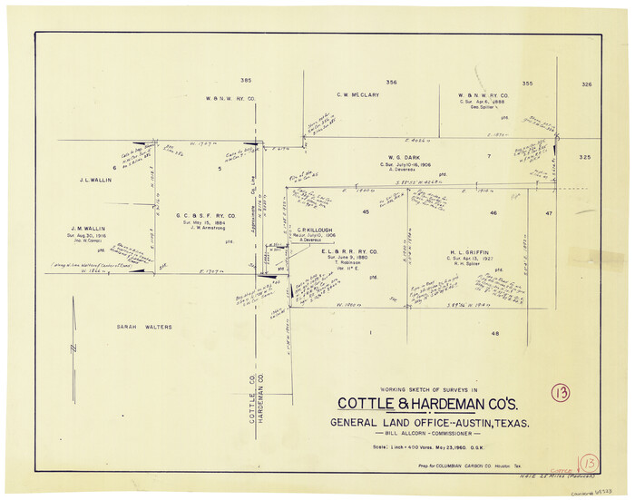
Cottle County Working Sketch 13
1960
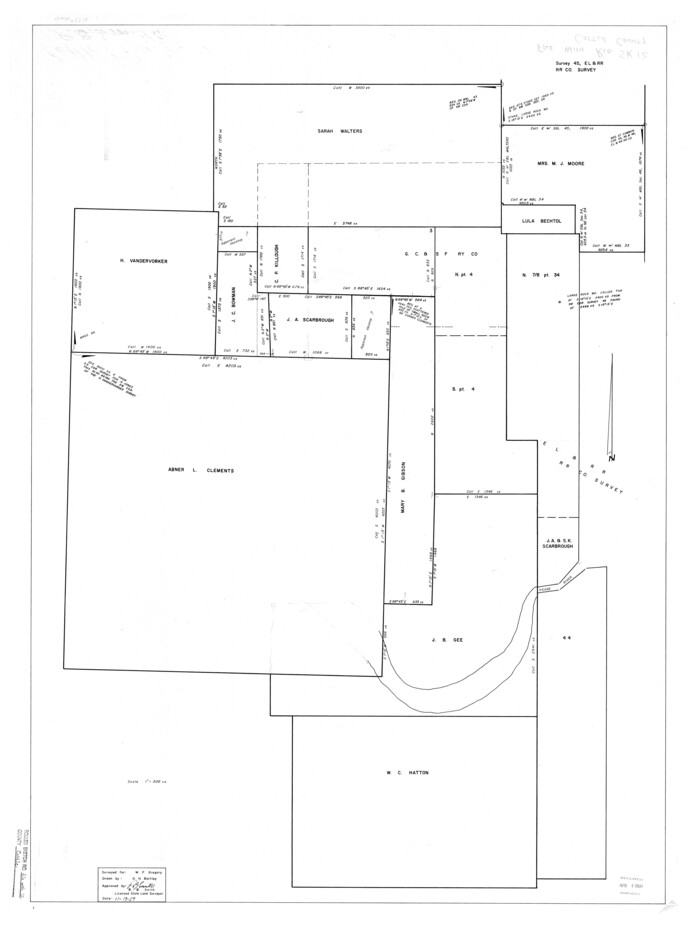
Cottle County Rolled Sketch 12
1959
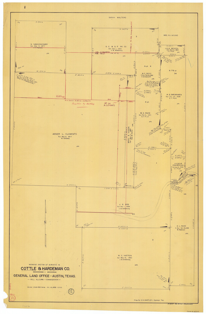
Cottle County Working Sketch 12
1959
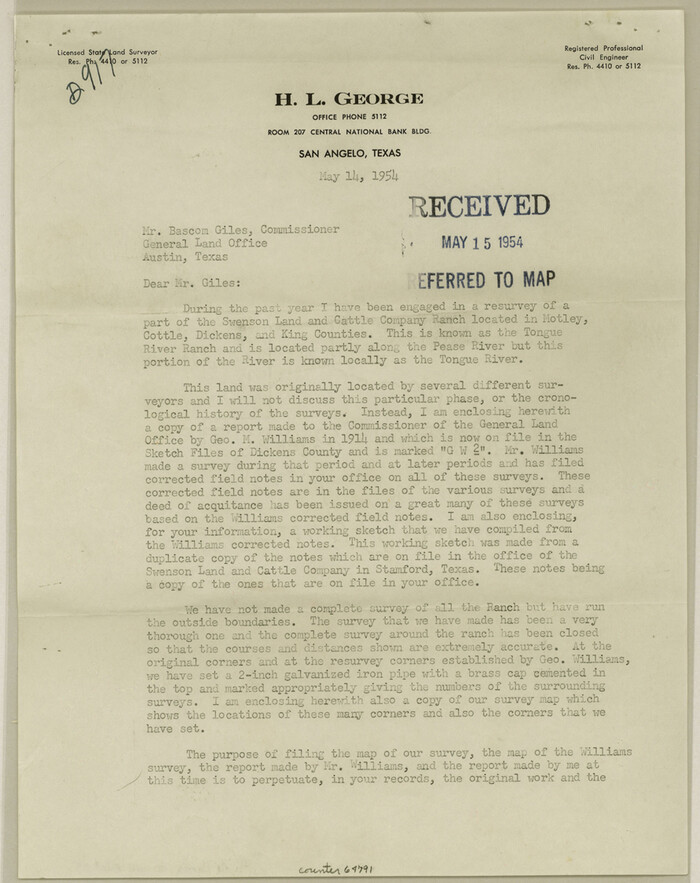
Dickens County Sketch File 35
1954
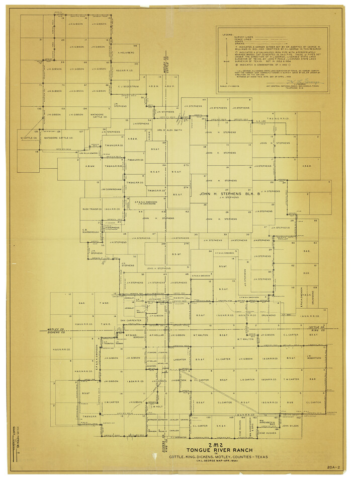
Dickens County Rolled Sketch 9
1954

Cottle County Working Sketch 24
2014
-
Size
10.6 x 18.3 inches
-
Map/Doc
93707
-
Creation Date
2014

Cottle County Sketch File 18
2004
-
Size
8.0 x 11.0 inches
-
Map/Doc
82433
-
Creation Date
2004

Cottle County Rolled Sketch 15
2004
-
Size
37.2 x 37.2 inches
-
Map/Doc
82849
-
Creation Date
2004

Cottle County Working Sketch 23
1992
-
Size
26.6 x 24.2 inches
-
Map/Doc
68333
-
Creation Date
1992

Cottle County Working Sketch 22
1982
-
Size
44.0 x 75.0 inches
-
Map/Doc
68332
-
Creation Date
1982

Foard County Working Sketch 15
1982
-
Size
43.7 x 76.0 inches
-
Map/Doc
69206
-
Creation Date
1982

Cottle County Working Sketch 20
1982
-
Size
19.9 x 37.0 inches
-
Map/Doc
68330
-
Creation Date
1982

Hardeman County Working Sketch 16
1982
-
Size
35.7 x 45.1 inches
-
Map/Doc
63397
-
Creation Date
1982

Cottle County Working Sketch 21
1982
-
Size
37.0 x 46.6 inches
-
Map/Doc
68331
-
Creation Date
1982

Foard County Working Sketch 14
1982
-
Size
37.6 x 46.9 inches
-
Map/Doc
69205
-
Creation Date
1982

Cottle County Working Sketch 19
1978
-
Size
33.2 x 29.3 inches
-
Map/Doc
68329
-
Creation Date
1978

Cottle County Working Sketch 18
1977
-
Size
32.2 x 41.3 inches
-
Map/Doc
68328
-
Creation Date
1977

Cottle County Sketch File H
1976
-
Size
11.2 x 8.7 inches
-
Map/Doc
19451
-
Creation Date
1976

Cottle County Rolled Sketch 13
1976
-
Size
21.6 x 35.5 inches
-
Map/Doc
5571
-
Creation Date
1976

Cottle County Working Sketch 17
1975
-
Size
32.5 x 34.1 inches
-
Map/Doc
68327
-
Creation Date
1975

Cottle County Working Sketch 16
1975
-
Size
24.5 x 21.6 inches
-
Map/Doc
68326
-
Creation Date
1975
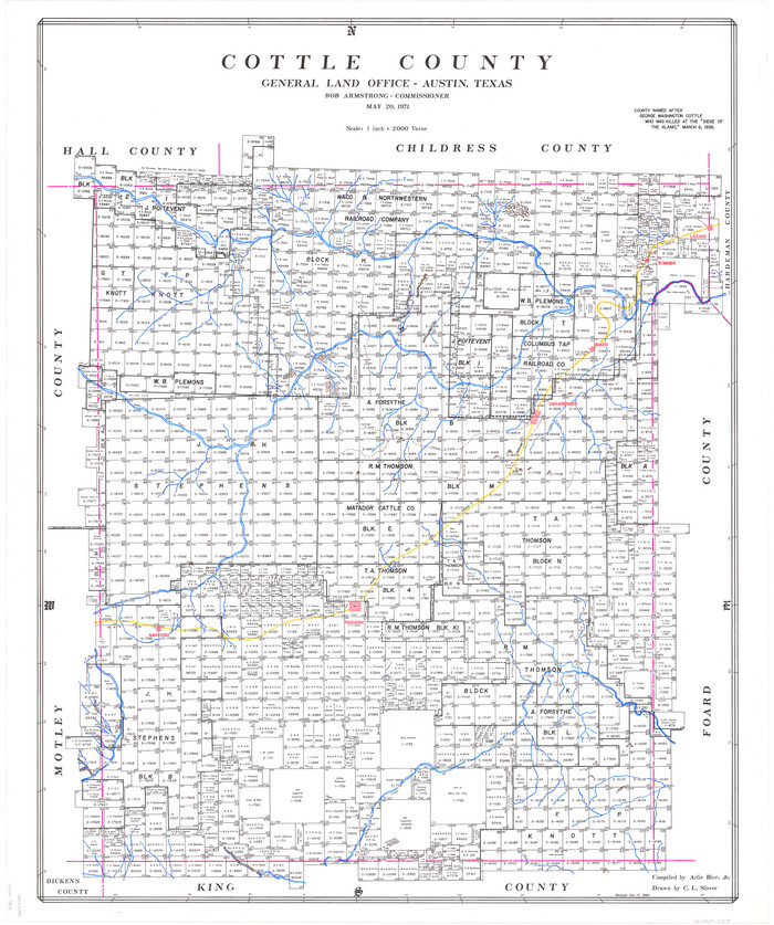
Cottle County
1971
-
Size
42.5 x 35.7 inches
-
Map/Doc
73118
-
Creation Date
1971

Cottle County
1971
-
Size
41.5 x 33.3 inches
-
Map/Doc
77250
-
Creation Date
1971
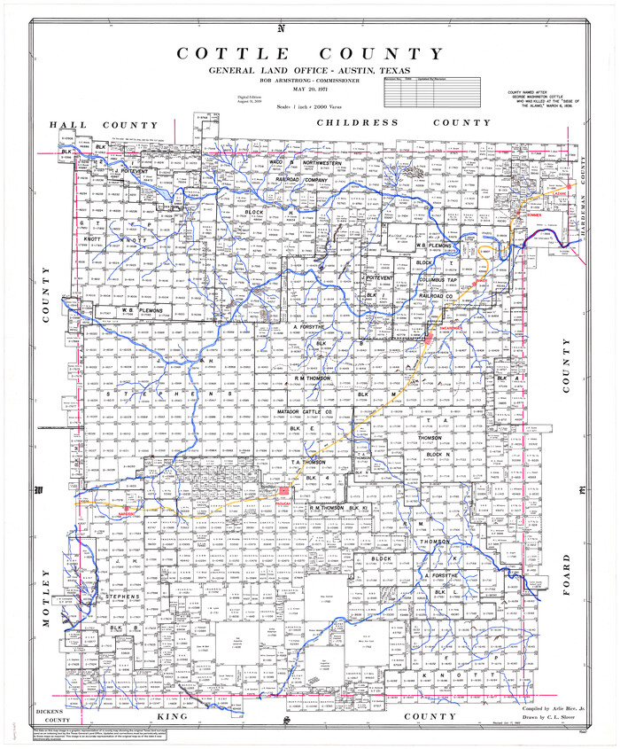
Cottle County
1971
-
Size
43.4 x 36.0 inches
-
Map/Doc
95467
-
Creation Date
1971

Cottle County Working Sketch Graphic Index
1971
-
Size
41.8 x 33.8 inches
-
Map/Doc
76506
-
Creation Date
1971

Cottle County Working Sketch 15
1965
-
Size
31.8 x 58.3 inches
-
Map/Doc
68325
-
Creation Date
1965

Cottle County Rolled Sketch 12
1963
-
Size
34.2 x 25.7 inches
-
Map/Doc
5549
-
Creation Date
1963

Cottle County Working Sketch 14B
1963
-
Size
35.2 x 41.6 inches
-
Map/Doc
61795
-
Creation Date
1963

Cottle County Working Sketch 14a
1963
-
Size
31.2 x 42.1 inches
-
Map/Doc
68324
-
Creation Date
1963

General Highway Map, Cottle County, Texas
1961
-
Size
18.1 x 24.6 inches
-
Map/Doc
79423
-
Creation Date
1961

Cottle County Working Sketch 13
1960
-
Size
19.6 x 25.0 inches
-
Map/Doc
68323
-
Creation Date
1960

Cottle County Rolled Sketch 12
1959
-
Size
41.1 x 30.9 inches
-
Map/Doc
5570
-
Creation Date
1959

Cottle County Working Sketch 12
1959
-
Size
39.1 x 25.7 inches
-
Map/Doc
68322
-
Creation Date
1959

Dickens County Sketch File 35
1954
-
Size
11.2 x 8.9 inches
-
Map/Doc
64791
-
Creation Date
1954

Dickens County Rolled Sketch 9
1954
-
Size
41.0 x 30.3 inches
-
Map/Doc
5708
-
Creation Date
1954