252 results

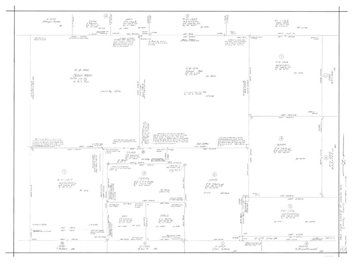
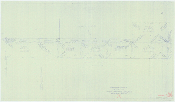
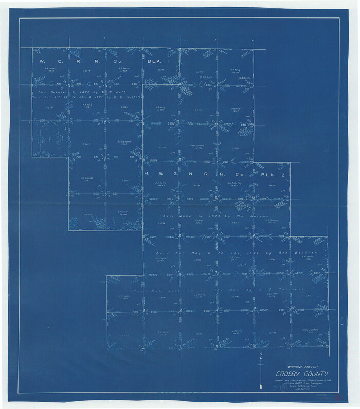
Crosby County Working Sketch 17
68451-1.tif
Print $20.00 - Digital $50.00

Crosby County Working Sketch 17

1982

Size: 32.8 x 43.9 inches
68451
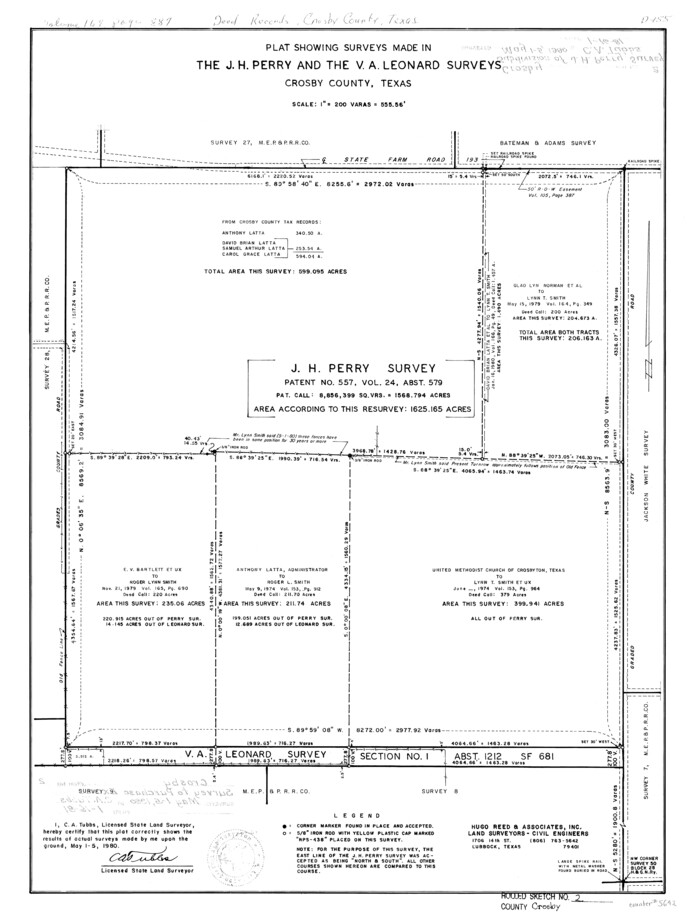
Crosby County Rolled Sketch 2
5642-GC.tif
Print $20.00 - Digital $50.00

Crosby County Rolled Sketch 2

1980

Size: 24.7 x 18.7 inches
5642
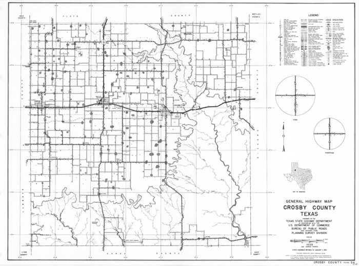
General Highway Map, Crosby County, Texas
79426.tif
Print $20.00

General Highway Map, Crosby County, Texas

1961

Size: 18.1 x 24.5 inches
79426
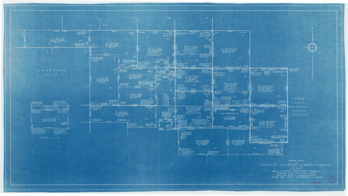
Crosby County Sketch File 33
10354, Crosby County Sketch File 33, General Map Collection
Print $20.00 - Digital $50.00

Crosby County Sketch File 33

1954

Size: 30.9 x 37.1 inches
10354
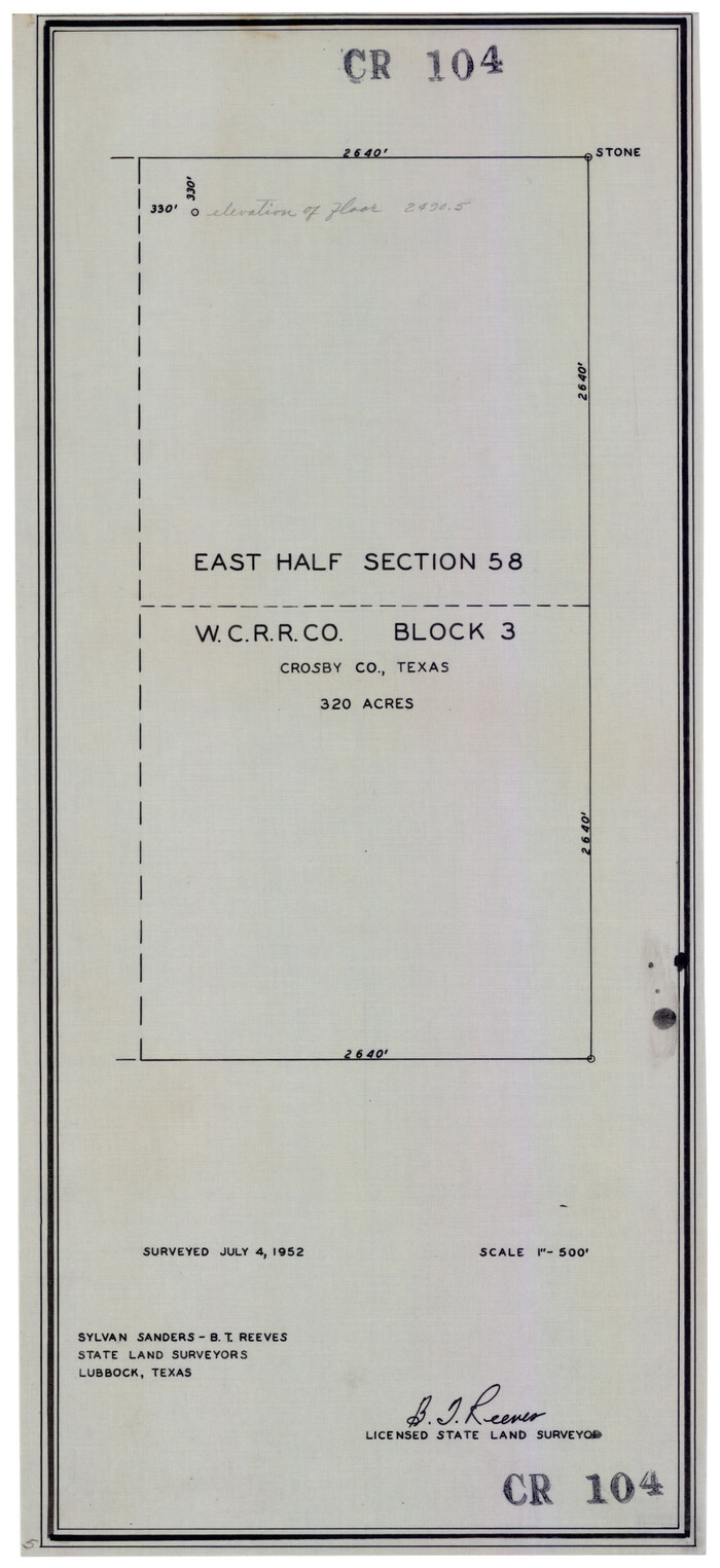
East Half of Section 58. W. C. RR. Co. Block 3
92594.tif
Print $20.00 - Digital $50.00

East Half of Section 58. W. C. RR. Co. Block 3

1952

Size: 8.7 x 18.8 inches
92594
McLaughlin Farm, Crosby County, Texas
92615.tif
Print $20.00 - Digital $50.00

McLaughlin Farm, Crosby County, Texas

1952

Size: 14.3 x 14.1 inches
92615
Floyd County Sketch File 32
22792, Floyd County Sketch File 32, General Map Collection
Print $8.00 - Digital $50.00

Floyd County Sketch File 32

1952

Size: 14.3 x 8.9 inches
22792
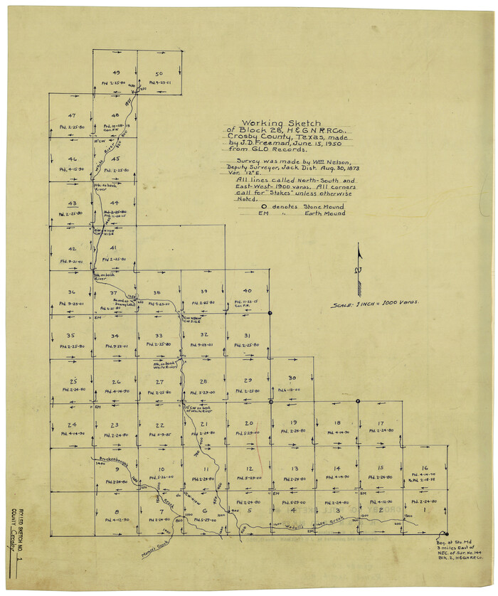
Crosby County Rolled Sketch 1
5640.tif
Print $20.00 - Digital $50.00

Crosby County Rolled Sketch 1

1950

Size: 25.3 x 21.1 inches
5640
Crosby County Rolled Sketch 1A
5641.tif
Print $20.00 - Digital $50.00

Crosby County Rolled Sketch 1A

1950

Size: 26.1 x 22.2 inches
5641
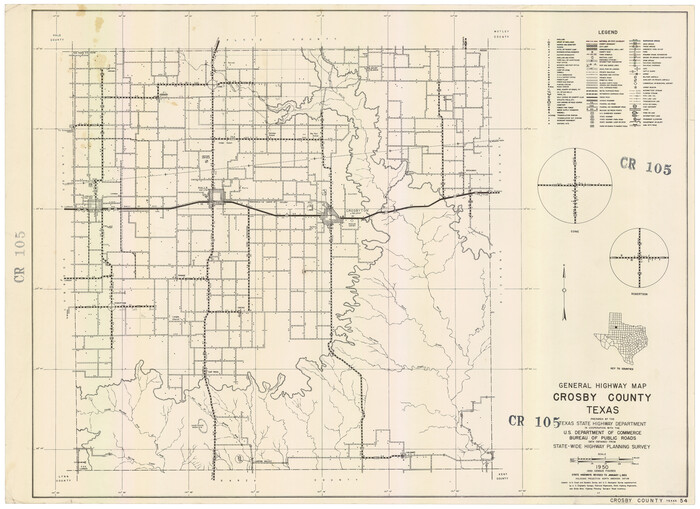
General Highway Map, Crosby County, Texas
92596.tif
Print $20.00 - Digital $50.00

General Highway Map, Crosby County, Texas

1950
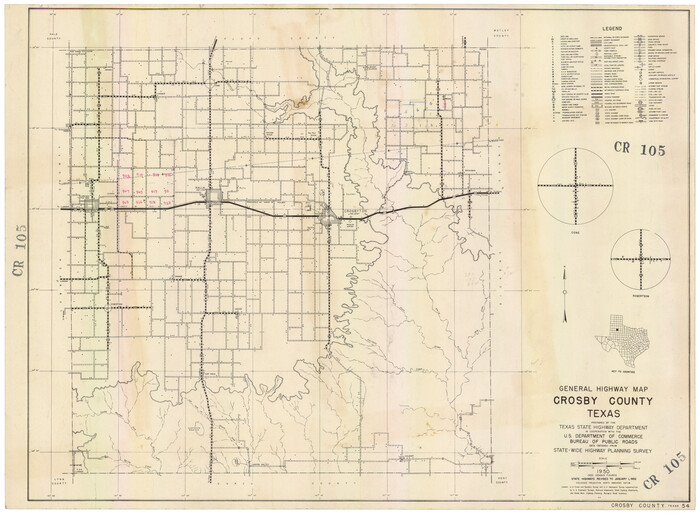
Size: 25.7 x 18.8 inches
92596
General Highway Map, Crosby County, Texas
92597.tif
Print $20.00 - Digital $50.00

General Highway Map, Crosby County, Texas

1950
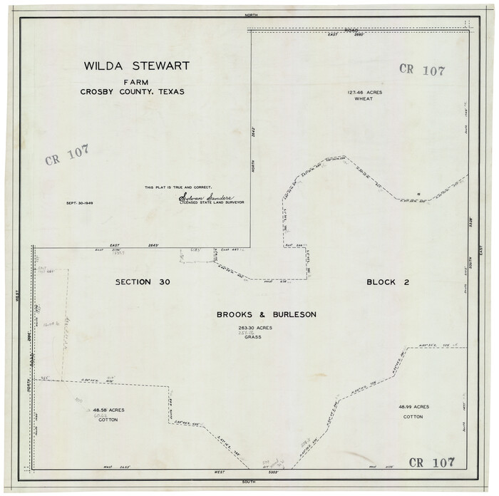
Size: 25.5 x 18.8 inches
92597
Wilda Stewart Farm, Crosby County, Texas
92599.tif
Print $20.00 - Digital $50.00

Wilda Stewart Farm, Crosby County, Texas

1949
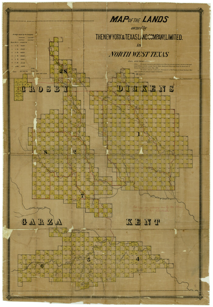
Size: 20.5 x 20.4 inches
92599
Dickens County Rolled Sketch 7
5706.tif
Print $20.00 - Digital $50.00

Dickens County Rolled Sketch 7

1947

Size: 33.6 x 23.6 inches
5706
Plat of Connecting Line between Northwest Corner of Eddy Sparks 1-1662
92602.tif
Print $20.00 - Digital $50.00

Plat of Connecting Line between Northwest Corner of Eddy Sparks 1-1662

1945

Size: 20.0 x 27.6 inches
92602
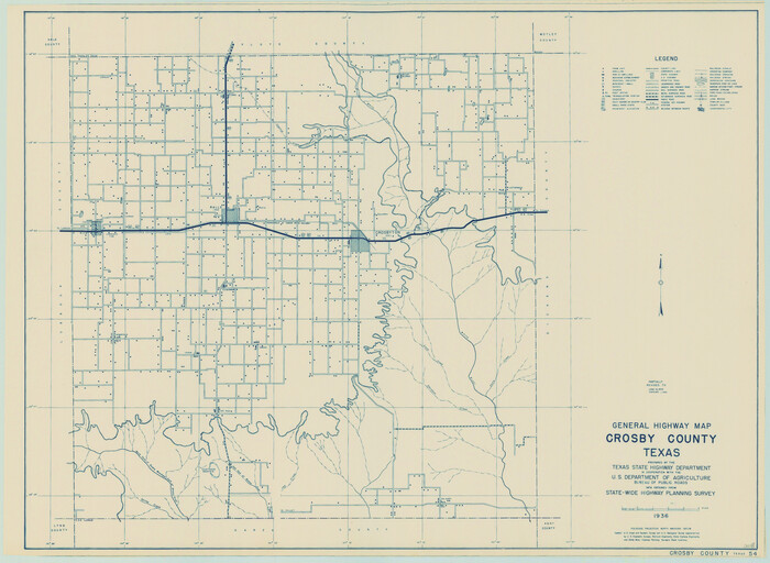
General Highway Map, Crosby County, Texas
79063.tif
Print $20.00

General Highway Map, Crosby County, Texas

1940

Size: 18.3 x 25.1 inches
79063
Crosby County Sketch File 32
11258, Crosby County Sketch File 32, General Map Collection
Print $20.00 - Digital $50.00

Crosby County Sketch File 32

1938

Size: 23.2 x 31.8 inches
11258
Garza County Sketch File 29
11548, Garza County Sketch File 29, General Map Collection
Print $20.00 - Digital $50.00

Garza County Sketch File 29

1935

Size: 24.8 x 26.5 inches
11548
Crosby County Sketch File 36
20108, Crosby County Sketch File 36, General Map Collection
Print $4.00 - Digital $50.00

Crosby County Sketch File 36

1935

Size: 7.5 x 9.2 inches
20108
Crosby County Sketch File 30
20102, Crosby County Sketch File 30, General Map Collection
Print $4.00 - Digital $50.00

Crosby County Sketch File 30

1935

Size: 11.4 x 7.4 inches
20102
Crosby County
4925.tif
Print $40.00 - Digital $50.00

Crosby County

1927

Size: 48.5 x 39.9 inches
4925
Crosby County
73123.tif
Print $20.00 - Digital $50.00

Crosby County

1927

Size: 41.1 x 36.7 inches
73123
Crosby County Working Sketch Graphic Index
76513.tif
Print $20.00 - Digital $50.00

Crosby County Working Sketch Graphic Index

1927

Size: 41.8 x 37.4 inches
76513
Crosby County
77255.tif
Print $20.00 - Digital $50.00

Crosby County

1927

Size: 36.1 x 32.4 inches
77255
Crosby County
95472.tif
Print $20.00 - Digital $50.00

Crosby County

1927

Size: 41.2 x 36.4 inches
95472
Crosby County Rolled Sketch R
8740.tif
Print $20.00 - Digital $50.00

Crosby County Rolled Sketch R

1926

Size: 41.2 x 40.0 inches
8740
Map of Partition Subdivision of A.B. Robertson's Ranch in Crosby and Garza Counties, Texas 1926
89755-1.tif
Print $20.00 - Digital $50.00

Map of Partition Subdivision of A.B. Robertson's Ranch in Crosby and Garza Counties, Texas 1926

1926

Size: 39.1 x 42.7 inches
89755
Dickens County Sketch File G1
11332, Dickens County Sketch File G1, General Map Collection
Print $20.00 - Digital $50.00

Dickens County Sketch File G1

1914

Size: 22.0 x 18.0 inches
11332
Crosby County Sketch File 23
11254, Crosby County Sketch File 23, General Map Collection
Print $20.00 - Digital $50.00

Crosby County Sketch File 23

1913

Size: 15.0 x 27.2 inches
11254
Garza County Rolled Sketch 9
9054.tif
Print $20.00 - Digital $50.00

Garza County Rolled Sketch 9

1913

Size: 33.8 x 43.8 inches
9054
[Northwest Garza County around John Walker and Thomas Hughes surveys]
90906-1.tif
Print $20.00 - Digital $50.00

[Northwest Garza County around John Walker and Thomas Hughes surveys]

1913

Size: 28.3 x 14.5 inches
90906
Crosby County Working Sketch 17
68451, Crosby County Working Sketch 17, General Map Collection
Print $20.00 - Digital $50.00

Crosby County Working Sketch 17

1982

  • Size

    32.8 x 43.9 inches

  • Map/Doc

    68451

  • Creation Date

    1982

Crosby County Rolled Sketch 2
5642, Crosby County Rolled Sketch 2, General Map Collection
Print $20.00 - Digital $50.00

Crosby County Rolled Sketch 2

1980

  • Size

    24.7 x 18.7 inches

  • Map/Doc

    5642

  • Creation Date

    1980

General Highway Map, Crosby County, Texas
79426, General Highway Map, Crosby County, Texas, Texas State Library and Archives
Print $20.00

General Highway Map, Crosby County, Texas

1961

  • Size

    18.1 x 24.5 inches

  • Map/Doc

    79426

  • Creation Date

    1961

Crosby County Sketch File 33
10354, Crosby County Sketch File 33, General Map Collection
Print $20.00 - Digital $50.00

Crosby County Sketch File 33

1954

  • Size

    30.9 x 37.1 inches

  • Map/Doc

    10354

  • Creation Date

    1954

East Half of Section 58. W. C. RR. Co. Block 3
92594, East Half of Section 58. W. C. RR. Co. Block 3, Twichell Survey Records
Print $20.00 - Digital $50.00

East Half of Section 58. W. C. RR. Co. Block 3

1952

  • Size

    8.7 x 18.8 inches

  • Map/Doc

    92594

  • Creation Date

    1952

McLaughlin Farm, Crosby County, Texas
92615, McLaughlin Farm, Crosby County, Texas, Twichell Survey Records
Print $20.00 - Digital $50.00

McLaughlin Farm, Crosby County, Texas

1952

  • Size

    14.3 x 14.1 inches

  • Map/Doc

    92615

  • Creation Date

    1952

Floyd County Sketch File 32
22792, Floyd County Sketch File 32, General Map Collection
Print $8.00 - Digital $50.00

Floyd County Sketch File 32

1952

  • Size

    14.3 x 8.9 inches

  • Map/Doc

    22792

  • Creation Date

    1952

Crosby County Rolled Sketch 1
5640, Crosby County Rolled Sketch 1, General Map Collection
Print $20.00 - Digital $50.00

Crosby County Rolled Sketch 1

1950

  • Size

    25.3 x 21.1 inches

  • Map/Doc

    5640

  • Creation Date

    1950

Crosby County Rolled Sketch 1A
5641, Crosby County Rolled Sketch 1A, General Map Collection
Print $20.00 - Digital $50.00

Crosby County Rolled Sketch 1A

1950

  • Size

    26.1 x 22.2 inches

  • Map/Doc

    5641

  • Creation Date

    1950

General Highway Map, Crosby County, Texas
92596, General Highway Map, Crosby County, Texas, Twichell Survey Records
Print $20.00 - Digital $50.00

General Highway Map, Crosby County, Texas

1950

  • Size

    25.7 x 18.8 inches

  • Map/Doc

    92596

  • Creation Date

    1950

General Highway Map, Crosby County, Texas
92597, General Highway Map, Crosby County, Texas, Twichell Survey Records
Print $20.00 - Digital $50.00

General Highway Map, Crosby County, Texas

1950

  • Size

    25.5 x 18.8 inches

  • Map/Doc

    92597

  • Creation Date

    1950

Wilda Stewart Farm, Crosby County, Texas
92599, Wilda Stewart Farm, Crosby County, Texas, Twichell Survey Records
Print $20.00 - Digital $50.00

Wilda Stewart Farm, Crosby County, Texas

1949

  • Size

    20.5 x 20.4 inches

  • Map/Doc

    92599

  • Creation Date

    1949

Dickens County Rolled Sketch 7
5706, Dickens County Rolled Sketch 7, General Map Collection
Print $20.00 - Digital $50.00

Dickens County Rolled Sketch 7

1947

  • Size

    33.6 x 23.6 inches

  • Map/Doc

    5706

  • Creation Date

    1947

Plat of Connecting Line between Northwest Corner of Eddy Sparks 1-1662
92602, Plat of Connecting Line between Northwest Corner of Eddy Sparks 1-1662, Twichell Survey Records
Print $20.00 - Digital $50.00

Plat of Connecting Line between Northwest Corner of Eddy Sparks 1-1662

1945

  • Size

    20.0 x 27.6 inches

  • Map/Doc

    92602

  • Creation Date

    1945

General Highway Map, Crosby County, Texas
79063, General Highway Map, Crosby County, Texas, Texas State Library and Archives
Print $20.00

General Highway Map, Crosby County, Texas

1940

  • Size

    18.3 x 25.1 inches

  • Map/Doc

    79063

  • Creation Date

    1940

Crosby County Sketch File 32
11258, Crosby County Sketch File 32, General Map Collection
Print $20.00 - Digital $50.00

Crosby County Sketch File 32

1938

  • Size

    23.2 x 31.8 inches

  • Map/Doc

    11258

  • Creation Date

    1938

Garza County Sketch File 29
11548, Garza County Sketch File 29, General Map Collection
Print $20.00 - Digital $50.00

Garza County Sketch File 29

1935

  • Size

    24.8 x 26.5 inches

  • Map/Doc

    11548

  • Creation Date

    1935

Crosby County Sketch File 36
20108, Crosby County Sketch File 36, General Map Collection
Print $4.00 - Digital $50.00

Crosby County Sketch File 36

1935

  • Size

    7.5 x 9.2 inches

  • Map/Doc

    20108

  • Creation Date

    1935

Crosby County Sketch File 30
20102, Crosby County Sketch File 30, General Map Collection
Print $4.00 - Digital $50.00

Crosby County Sketch File 30

1935

  • Size

    11.4 x 7.4 inches

  • Map/Doc

    20102

  • Creation Date

    1935

Crosby County
4925, Crosby County, General Map Collection
Print $40.00 - Digital $50.00

Crosby County

1927

  • Size

    48.5 x 39.9 inches

  • Map/Doc

    4925

  • Creation Date

    1927

Crosby County
73123, Crosby County, General Map Collection
Print $20.00 - Digital $50.00

Crosby County

1927

  • Size

    41.1 x 36.7 inches

  • Map/Doc

    73123

  • Creation Date

    1927

Crosby County Working Sketch Graphic Index
76513, Crosby County Working Sketch Graphic Index, General Map Collection
Print $20.00 - Digital $50.00

Crosby County Working Sketch Graphic Index

1927

  • Size

    41.8 x 37.4 inches

  • Map/Doc

    76513

  • Creation Date

    1927

Crosby County
77255, Crosby County, General Map Collection
Print $20.00 - Digital $50.00

Crosby County

1927

  • Size

    36.1 x 32.4 inches

  • Map/Doc

    77255

  • Creation Date

    1927

Crosby County
95472, Crosby County, General Map Collection
Print $20.00 - Digital $50.00

Crosby County

1927

  • Size

    41.2 x 36.4 inches

  • Map/Doc

    95472

  • Creation Date

    1927

Crosby County Rolled Sketch R
8740, Crosby County Rolled Sketch R, General Map Collection
Print $20.00 - Digital $50.00

Crosby County Rolled Sketch R

1926

  • Size

    41.2 x 40.0 inches

  • Map/Doc

    8740

  • Creation Date

    1926

Map of Partition Subdivision of A.B. Robertson's Ranch in Crosby and Garza Counties, Texas 1926
89755, Map of Partition Subdivision of A.B. Robertson's Ranch in Crosby and Garza Counties, Texas 1926, Twichell Survey Records
Print $20.00 - Digital $50.00

Map of Partition Subdivision of A.B. Robertson's Ranch in Crosby and Garza Counties, Texas 1926

1926

  • Size

    39.1 x 42.7 inches

  • Map/Doc

    89755

  • Creation Date

    1926

Dickens County Sketch File G1
11332, Dickens County Sketch File G1, General Map Collection
Print $20.00 - Digital $50.00

Dickens County Sketch File G1

1914

  • Size

    22.0 x 18.0 inches

  • Map/Doc

    11332

  • Creation Date

    1914

Crosby County Sketch File 23
11254, Crosby County Sketch File 23, General Map Collection
Print $20.00 - Digital $50.00

Crosby County Sketch File 23

1913

  • Size

    15.0 x 27.2 inches

  • Map/Doc

    11254

  • Creation Date

    1913

Garza County Rolled Sketch 9
9054, Garza County Rolled Sketch 9, General Map Collection
Print $20.00 - Digital $50.00

Garza County Rolled Sketch 9

1913

  • Size

    33.8 x 43.8 inches

  • Map/Doc

    9054

  • Creation Date

    1913

[Northwest Garza County around John Walker and Thomas Hughes surveys]
90906, [Northwest Garza County around John Walker and Thomas Hughes surveys], Twichell Survey Records
Print $20.00 - Digital $50.00

[Northwest Garza County around John Walker and Thomas Hughes surveys]

1913

  • Size

    28.3 x 14.5 inches

  • Map/Doc

    90906

  • Creation Date

    1913