
Culberson County Rolled Sketch 54
1968

Culberson County Sketch File EM
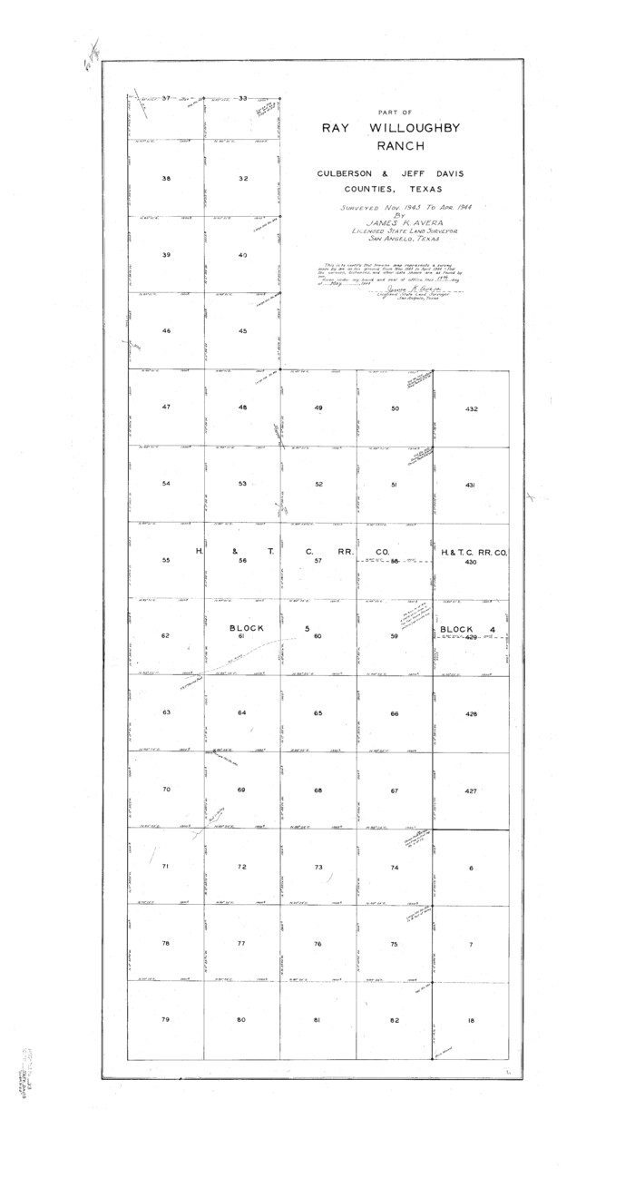
Jeff Davis County Sketch File 33
1944
Culberson County Sketch File 1b
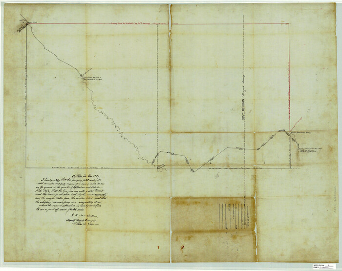
Culberson County Sketch File 2
1882
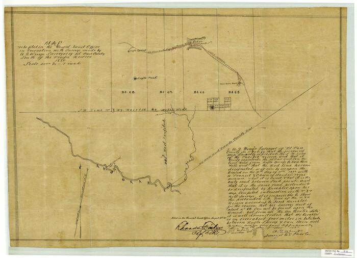
Culberson County Sketch File 3b
1880
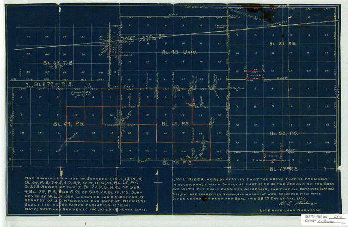
Culberson County Sketch File 10a
1926

Culberson County Sketch File 13a
1926

Culberson County Sketch File 15
1933
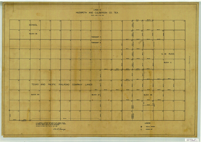
Culberson County Sketch File 16
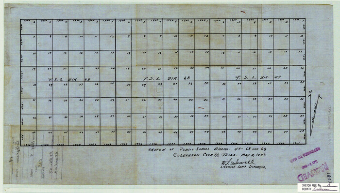
Culberson County Sketch File 19
1940
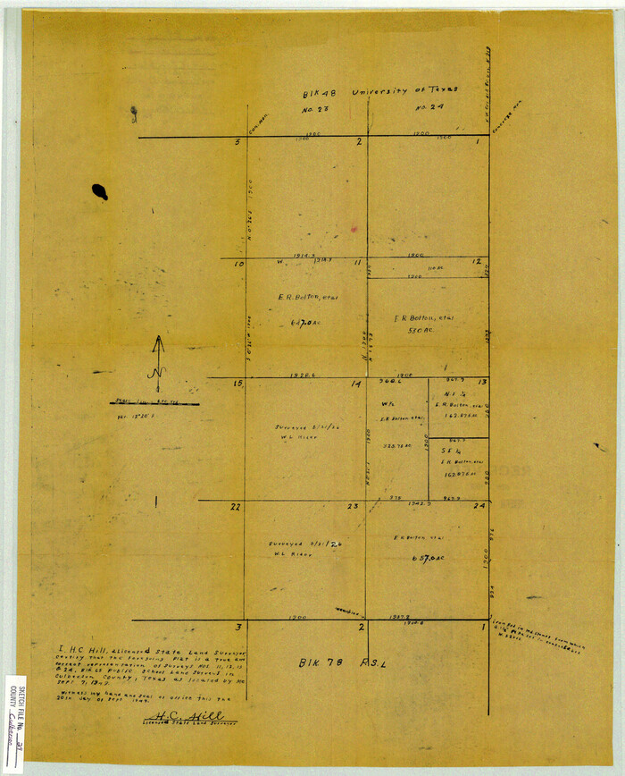
Culberson County Sketch File 29
1949
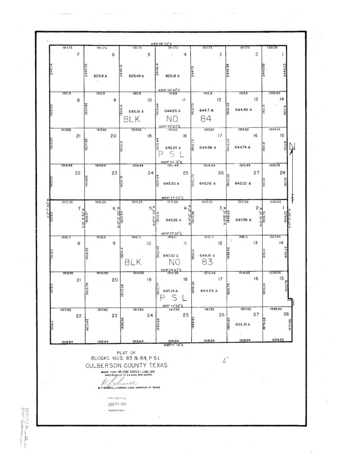
Culberson County Sketch File 37
1961

Culberson County Sketch File 38
1964

Culberson County Sketch File 40

Jeff Davis County Sketch File 11

Jeff Davis County Sketch File 35
1950
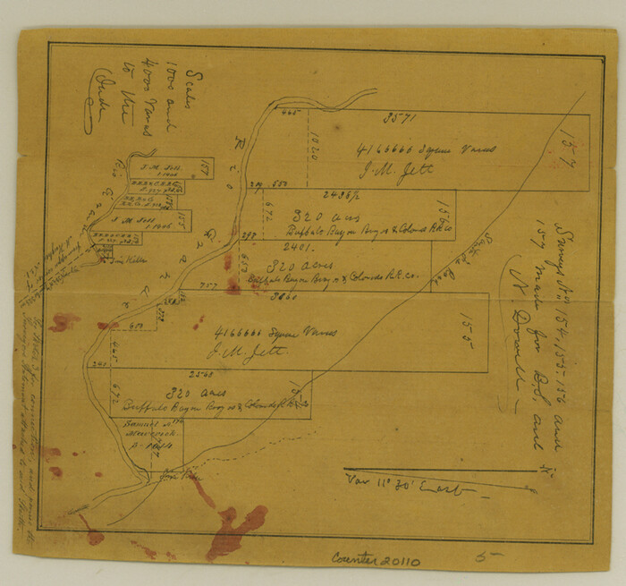
Culberson County Sketch File 1c
1859

Culberson County Sketch File 3
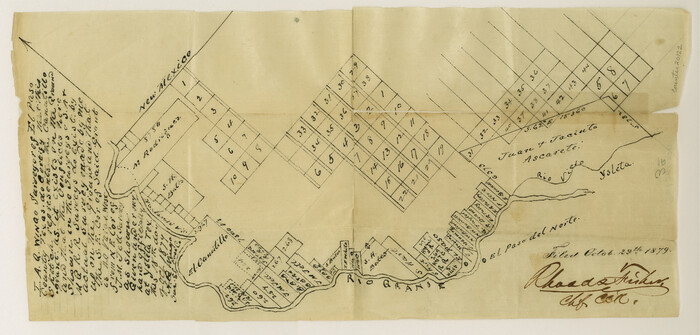
Culberson County Sketch File 3a
1879
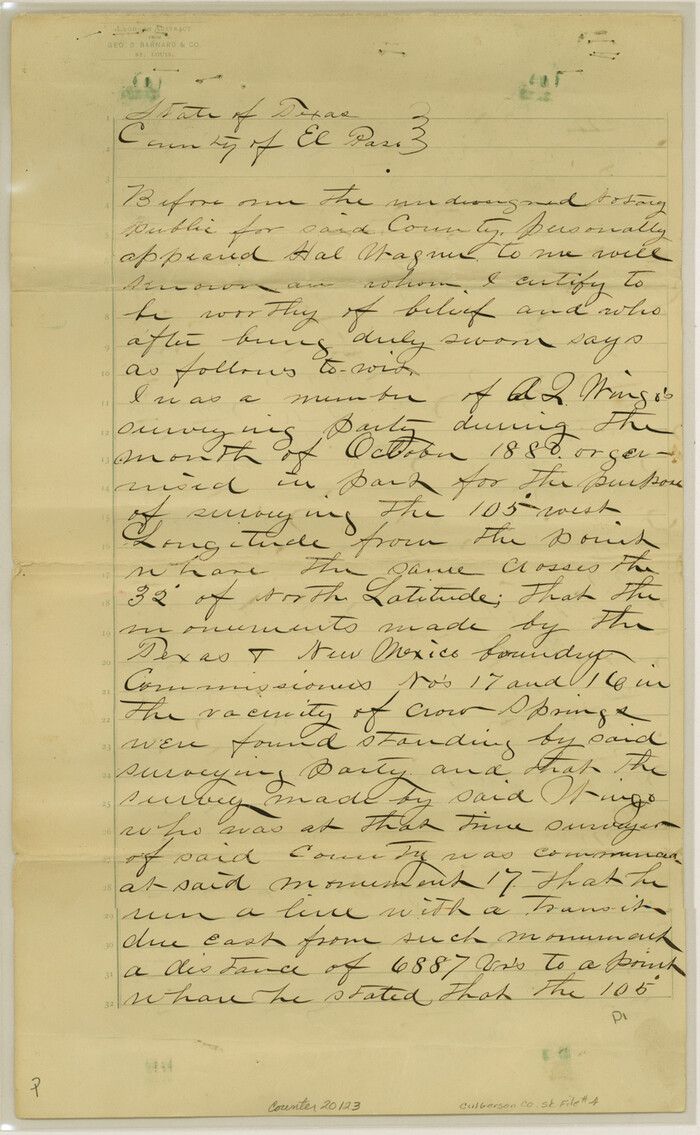
Culberson County Sketch File 4
1881

Culberson County Sketch File 4a

Culberson County Sketch File 5

Culberson County Sketch File 7
1888
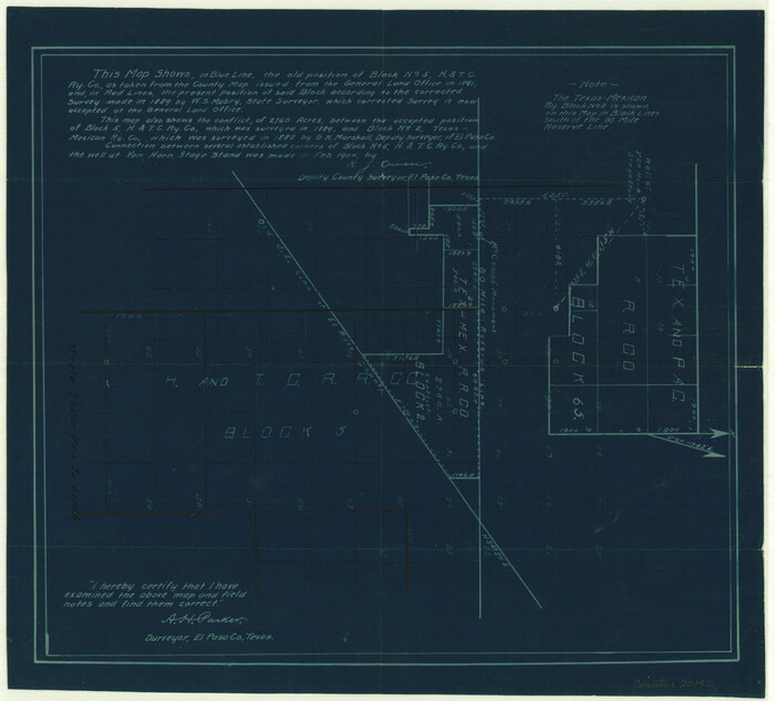
Culberson County Sketch File 8
1904

Culberson County Sketch File 10
1911
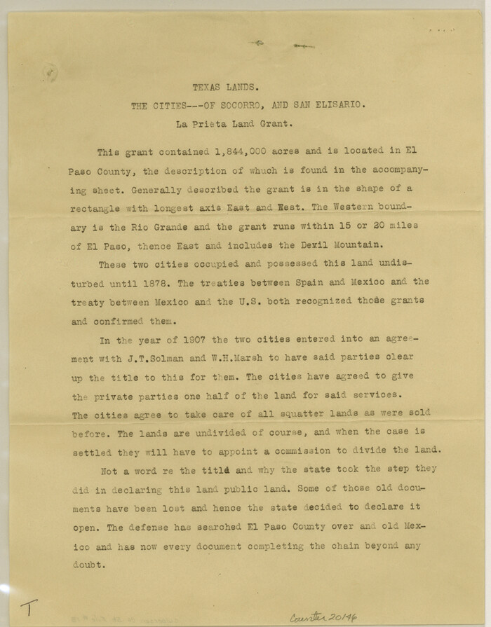
Culberson County Sketch File 13
1912
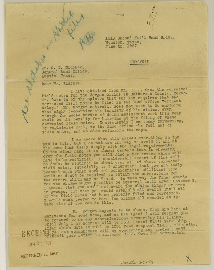
Culberson County Sketch File WJ1
1927
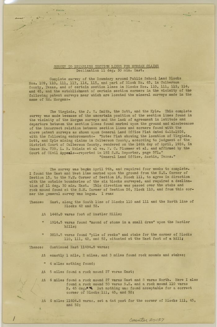
Culberson County Sketch File EM and RJ

Culberson County Rolled Sketch 54
1968
-
Size
59.0 x 29.4 inches
-
Map/Doc
10300
-
Creation Date
1968

Culberson County Sketch File EM
-
Size
36.2 x 40.3 inches
-
Map/Doc
10359

Jeff Davis County Sketch File 33
1944
-
Size
48.2 x 26.0 inches
-
Map/Doc
10507
-
Creation Date
1944

Culberson County Sketch File 1b
-
Size
9.0 x 18.0 inches
-
Map/Doc
11260

Culberson County Sketch File 2
1882
-
Size
28.9 x 36.4 inches
-
Map/Doc
11261
-
Creation Date
1882

Culberson County Sketch File 3b
1880
-
Size
20.3 x 28.0 inches
-
Map/Doc
11262
-
Creation Date
1880

Culberson County Sketch File 10a
1926
-
Size
11.9 x 18.3 inches
-
Map/Doc
11264
-
Creation Date
1926

Culberson County Sketch File 13a
1926
-
Size
20.7 x 14.1 inches
-
Map/Doc
11265
-
Creation Date
1926

Culberson County Sketch File 15
1933
-
Size
30.4 x 24.4 inches
-
Map/Doc
11267
-
Creation Date
1933

Culberson County Sketch File 16
-
Size
27.0 x 38.1 inches
-
Map/Doc
11268

Culberson County Sketch File 19
1940
-
Size
11.6 x 20.4 inches
-
Map/Doc
11269
-
Creation Date
1940

Culberson County Sketch File 29
1949
-
Size
20.3 x 16.4 inches
-
Map/Doc
11270
-
Creation Date
1949

Culberson County Sketch File 37
1961
-
Size
24.8 x 18.5 inches
-
Map/Doc
11273
-
Creation Date
1961

Culberson County Sketch File 38
1964
-
Size
21.7 x 18.6 inches
-
Map/Doc
11274
-
Creation Date
1964

Culberson County Sketch File 40
-
Size
24.8 x 35.2 inches
-
Map/Doc
11275

Jeff Davis County Sketch File 11
-
Size
17.7 x 29.9 inches
-
Map/Doc
11858

Jeff Davis County Sketch File 35
1950
-
Size
20.6 x 19.2 inches
-
Map/Doc
11866
-
Creation Date
1950

El Paso County
1881
-
Size
53.7 x 88.3 inches
-
Map/Doc
16826
-
Creation Date
1881

Culberson County Sketch File 1c
1859
-
Size
7.4 x 8.0 inches
-
Map/Doc
20111
-
Creation Date
1859

Culberson County Sketch File 3
-
Size
8.0 x 3.3 inches
-
Map/Doc
20112

Culberson County Sketch File 3a
1879
-
Size
8.0 x 16.7 inches
-
Map/Doc
20122
-
Creation Date
1879

Culberson County Sketch File 4
1881
-
Size
14.3 x 8.8 inches
-
Map/Doc
20123
-
Creation Date
1881

Culberson County Sketch File 4a
-
Size
9.2 x 7.9 inches
-
Map/Doc
20131

Culberson County Sketch File 5
-
Size
9.4 x 8.2 inches
-
Map/Doc
20136

Culberson County Sketch File 7
1888
-
Size
14.5 x 8.8 inches
-
Map/Doc
20138
-
Creation Date
1888

Culberson County Sketch File 8
1904
-
Size
13.2 x 14.6 inches
-
Map/Doc
20142
-
Creation Date
1904

Culberson County Sketch File 10
1911
-
Size
14.6 x 9.0 inches
-
Map/Doc
20144
-
Creation Date
1911

Culberson County Sketch File 13
1912
-
Size
11.2 x 8.7 inches
-
Map/Doc
20146
-
Creation Date
1912

Culberson County Sketch File WJ1
1927
-
Size
11.2 x 8.9 inches
-
Map/Doc
20154
-
Creation Date
1927

Culberson County Sketch File EM and RJ
-
Size
13.3 x 8.8 inches
-
Map/Doc
20157