Falls County Sketch File 32

Print $20.00
- Digital $50.00
Falls County Sketch File 32
Size: 36.3 x 24.7 inches
11468
Falls County Sketch File 9

Print $4.00
- Digital $50.00
Falls County Sketch File 9
Size: 13.0 x 8.5 inches
22343
Falls County Sketch File 10

Print $14.00
- Digital $50.00
Falls County Sketch File 10
Size: 12.9 x 8.4 inches
22345
Falls County Sketch File 14

Print $40.00
- Digital $50.00
Falls County Sketch File 14
Size: 15.9 x 12.9 inches
22370
Falls County Sketch File 15

Print $4.00
- Digital $50.00
Falls County Sketch File 15
Size: 13.0 x 8.2 inches
22372
Falls County Sketch File 16

Print $8.00
- Digital $50.00
Falls County Sketch File 16
Size: 13.3 x 8.5 inches
22374
Falls County Sketch File 18

Print $4.00
- Digital $50.00
Falls County Sketch File 18
Size: 10.3 x 8.2 inches
22380
Falls County Sketch File 18a

Print $8.00
- Digital $50.00
Falls County Sketch File 18a
Size: 13.3 x 9.0 inches
22382
Falls County Sketch File 27

Print $6.00
- Digital $50.00
Falls County Sketch File 27
Size: 16.1 x 11.0 inches
22436
Falls County Sketch File 28

Print $2.00
- Digital $50.00
Falls County Sketch File 28
Size: 7.7 x 10.3 inches
22438
Limestone County Sketch File 10a

Print $22.00
- Digital $50.00
Limestone County Sketch File 10a
Size: 12.5 x 15.8 inches
30173
Limestone County Sketch File 22

Print $4.00
- Digital $50.00
Limestone County Sketch File 22
Size: 11.4 x 7.3 inches
30201
Falls County Boundary File 1

Print $64.00
- Digital $50.00
Falls County Boundary File 1
Size: 9.2 x 4.4 inches
53241
Falls County Boundary File 2

Print $6.00
- Digital $50.00
Falls County Boundary File 2
Size: 9.9 x 6.6 inches
53263
Falls County Boundary File 3

Print $15.00
- Digital $50.00
Falls County Boundary File 3
Size: 8.6 x 3.8 inches
53266
Falls County Sketch File 29

Print $40.00
- Digital $50.00
Falls County Sketch File 29
Size: 19.9 x 23.5 inches
75994
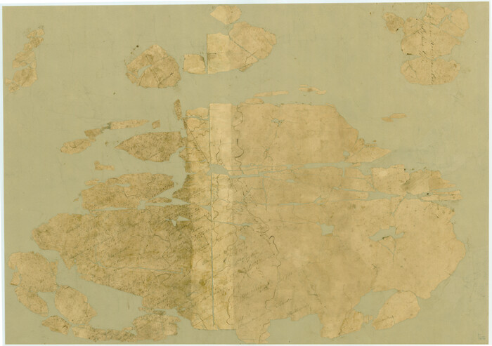
[Surveys in Robertson's Colony]
Print $20.00
- Digital $50.00
[Surveys in Robertson's Colony]
Size: 18.6 x 26.5 inches
78358
Map of the upper surveys in Robertson's Colony Sold by the State of Coahuila and Texas

Print $20.00
- Digital $50.00
Map of the upper surveys in Robertson's Colony Sold by the State of Coahuila and Texas
Size: 26.8 x 22.0 inches
82
Set of new maps of Austin's Colony by G. Borden, Jr.

Print $20.00
- Digital $50.00
Set of new maps of Austin's Colony by G. Borden, Jr.
1833
Size: 25.0 x 17.0 inches
131
[Surveys in Austin's Colony along the Brazos River]
Print $20.00
- Digital $50.00
[Surveys in Austin's Colony along the Brazos River]
1833
Size: 25.0 x 23.9 inches
164
English Field Notes of the Spanish Archives - Book 2

English Field Notes of the Spanish Archives - Book 2
1835
96528
English Field Notes of the Spanish Archives - Book A-B

English Field Notes of the Spanish Archives - Book A-B
1835
96540
English Field Notes of the Spanish Archives - Book C

English Field Notes of the Spanish Archives - Book C
1835
96541
English Field Notes of the Spanish Archives - Books DBE, WBPS, GAN, WB3, and X

English Field Notes of the Spanish Archives - Books DBE, WBPS, GAN, WB3, and X
1835
96546
English Field Notes of the Spanish Archives - Books BTB, GA, BT, and X

English Field Notes of the Spanish Archives - Books BTB, GA, BT, and X
1835
96554
[Surveys along Cow and Deer Creeks]

Print $2.00
- Digital $50.00
[Surveys along Cow and Deer Creeks]
1845
Size: 15.8 x 8.6 inches
306
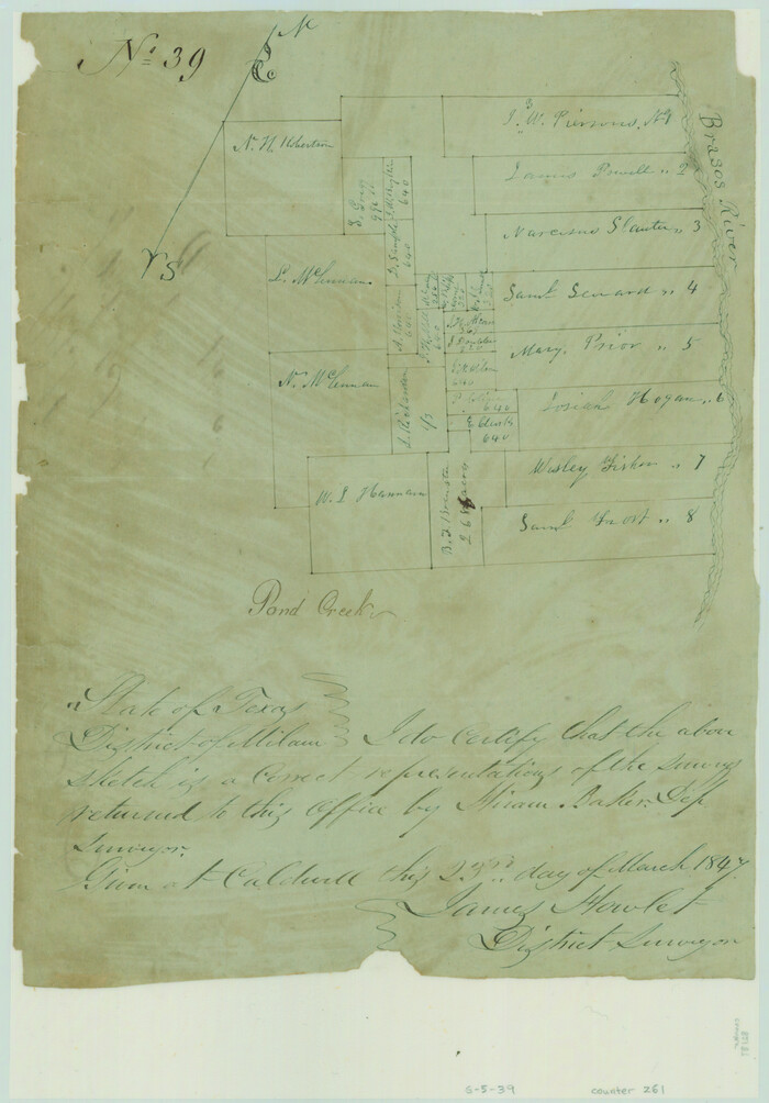
Sketch of surveys on Deer Creek, Milam District

Print $2.00
- Digital $50.00
Sketch of surveys on Deer Creek, Milam District
1846
Size: 7.8 x 10.9 inches
76046
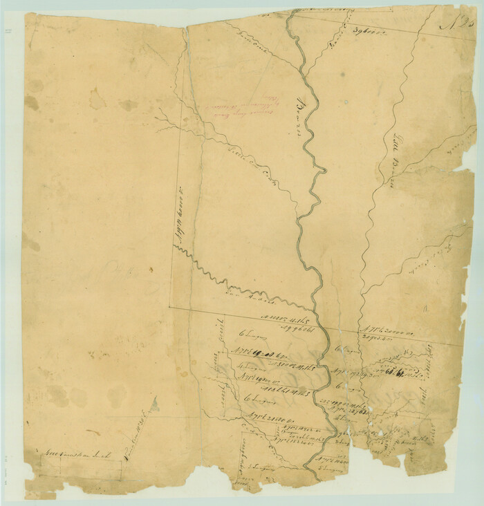
[Surveys along the Brazos River]
Print $2.00
- Digital $50.00
[Surveys along the Brazos River]
1847
Size: 12.1 x 8.4 inches
261
Limestone County Sketch File 4

Print $20.00
- Digital $50.00
Limestone County Sketch File 4
1847
Size: 15.2 x 34.1 inches
12001
Falls County Sketch File 3

Print $3.00
- Digital $50.00
Falls County Sketch File 3
1847
Size: 10.8 x 16.5 inches
11465
Falls County Sketch File 32
Print $20.00
- Digital $50.00
Falls County Sketch File 32
-
Size
36.3 x 24.7 inches
-
Map/Doc
11468
Falls County Sketch File 9
Print $4.00
- Digital $50.00
Falls County Sketch File 9
-
Size
13.0 x 8.5 inches
-
Map/Doc
22343
Falls County Sketch File 10
Print $14.00
- Digital $50.00
Falls County Sketch File 10
-
Size
12.9 x 8.4 inches
-
Map/Doc
22345
Falls County Sketch File 14
Print $40.00
- Digital $50.00
Falls County Sketch File 14
-
Size
15.9 x 12.9 inches
-
Map/Doc
22370
Falls County Sketch File 15
Print $4.00
- Digital $50.00
Falls County Sketch File 15
-
Size
13.0 x 8.2 inches
-
Map/Doc
22372
Falls County Sketch File 16
Print $8.00
- Digital $50.00
Falls County Sketch File 16
-
Size
13.3 x 8.5 inches
-
Map/Doc
22374
Falls County Sketch File 18
Print $4.00
- Digital $50.00
Falls County Sketch File 18
-
Size
10.3 x 8.2 inches
-
Map/Doc
22380
Falls County Sketch File 18a
Print $8.00
- Digital $50.00
Falls County Sketch File 18a
-
Size
13.3 x 9.0 inches
-
Map/Doc
22382
Falls County Sketch File 27
Print $6.00
- Digital $50.00
Falls County Sketch File 27
-
Size
16.1 x 11.0 inches
-
Map/Doc
22436
Falls County Sketch File 28
Print $2.00
- Digital $50.00
Falls County Sketch File 28
-
Size
7.7 x 10.3 inches
-
Map/Doc
22438
Limestone County Sketch File 10a
Print $22.00
- Digital $50.00
Limestone County Sketch File 10a
-
Size
12.5 x 15.8 inches
-
Map/Doc
30173
Limestone County Sketch File 22
Print $4.00
- Digital $50.00
Limestone County Sketch File 22
-
Size
11.4 x 7.3 inches
-
Map/Doc
30201
Falls County Boundary File 1
Print $64.00
- Digital $50.00
Falls County Boundary File 1
-
Size
9.2 x 4.4 inches
-
Map/Doc
53241
Falls County Boundary File 2
Print $6.00
- Digital $50.00
Falls County Boundary File 2
-
Size
9.9 x 6.6 inches
-
Map/Doc
53263
Falls County Boundary File 3
Print $15.00
- Digital $50.00
Falls County Boundary File 3
-
Size
8.6 x 3.8 inches
-
Map/Doc
53266
Falls County Sketch File 29
Print $40.00
- Digital $50.00
Falls County Sketch File 29
-
Size
19.9 x 23.5 inches
-
Map/Doc
75994
[Surveys in Robertson's Colony]
Print $20.00
- Digital $50.00
[Surveys in Robertson's Colony]
-
Size
18.6 x 26.5 inches
-
Map/Doc
78358
Map of the upper surveys in Robertson's Colony Sold by the State of Coahuila and Texas
Print $20.00
- Digital $50.00
Map of the upper surveys in Robertson's Colony Sold by the State of Coahuila and Texas
-
Size
26.8 x 22.0 inches
-
Map/Doc
82
Set of new maps of Austin's Colony by G. Borden, Jr.
Print $20.00
- Digital $50.00
Set of new maps of Austin's Colony by G. Borden, Jr.
1833
-
Size
25.0 x 17.0 inches
-
Map/Doc
131
-
Creation Date
1833
[Surveys in Austin's Colony along the Brazos River]
Print $20.00
- Digital $50.00
[Surveys in Austin's Colony along the Brazos River]
1833
-
Size
25.0 x 23.9 inches
-
Map/Doc
164
-
Creation Date
1833
English Field Notes of the Spanish Archives - Book 2
English Field Notes of the Spanish Archives - Book 2
1835
-
Map/Doc
96528
-
Creation Date
1835
English Field Notes of the Spanish Archives - Book A-B
English Field Notes of the Spanish Archives - Book A-B
1835
-
Map/Doc
96540
-
Creation Date
1835
English Field Notes of the Spanish Archives - Book C
English Field Notes of the Spanish Archives - Book C
1835
-
Map/Doc
96541
-
Creation Date
1835
English Field Notes of the Spanish Archives - Books DBE, WBPS, GAN, WB3, and X
English Field Notes of the Spanish Archives - Books DBE, WBPS, GAN, WB3, and X
1835
-
Map/Doc
96546
-
Creation Date
1835
English Field Notes of the Spanish Archives - Books BTB, GA, BT, and X
English Field Notes of the Spanish Archives - Books BTB, GA, BT, and X
1835
-
Map/Doc
96554
-
Creation Date
1835
[Surveys along Cow and Deer Creeks]
Print $2.00
- Digital $50.00
[Surveys along Cow and Deer Creeks]
1845
-
Size
15.8 x 8.6 inches
-
Map/Doc
306
-
Creation Date
1845
Sketch of surveys on Deer Creek, Milam District
Print $2.00
- Digital $50.00
Sketch of surveys on Deer Creek, Milam District
1846
-
Size
7.8 x 10.9 inches
-
Map/Doc
76046
-
Creation Date
1846
[Surveys along the Brazos River]
Print $2.00
- Digital $50.00
[Surveys along the Brazos River]
1847
-
Size
12.1 x 8.4 inches
-
Map/Doc
261
-
Creation Date
1847
Limestone County Sketch File 4
Print $20.00
- Digital $50.00
Limestone County Sketch File 4
1847
-
Size
15.2 x 34.1 inches
-
Map/Doc
12001
-
Creation Date
1847
Falls County Sketch File 3
Print $3.00
- Digital $50.00
Falls County Sketch File 3
1847
-
Size
10.8 x 16.5 inches
-
Map/Doc
11465
-
Creation Date
1847