
Falls County Working Sketch 5
2008
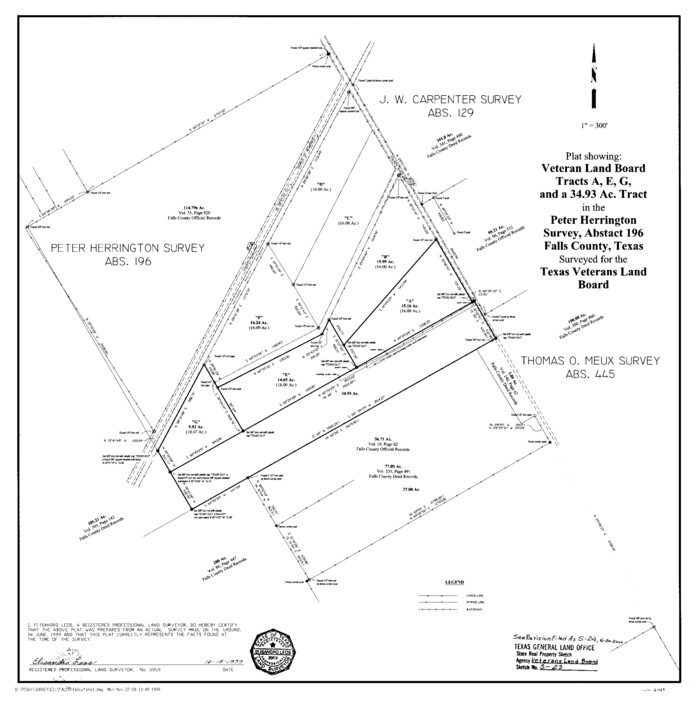
Falls County State Real Property Sketch 1
1999
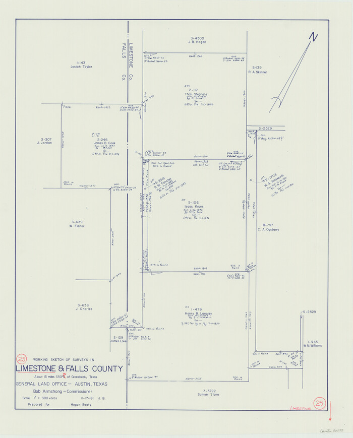
Limestone County Working Sketch 25
1981
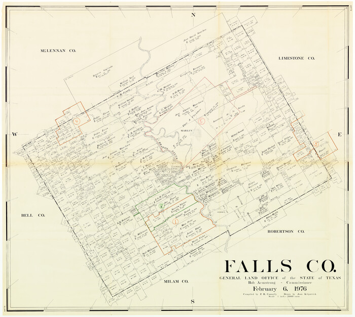
Falls County Working Sketch Graphic Index
1976

Falls County Sketch File 25
1968
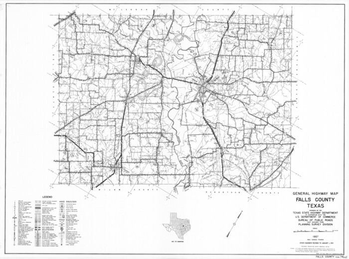
General Highway Map, Falls County, Texas
1961
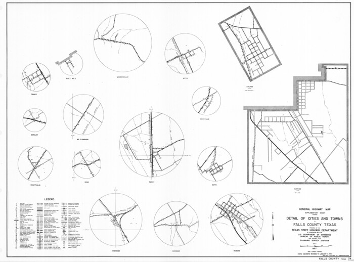
General Highway Map. Detail of Cities and Towns in Falls County, Texas
1961

Falls County Working Sketch 4
1943
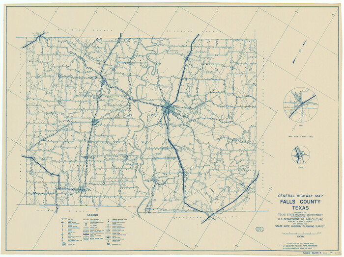
General Highway Map, Falls County, Texas
1940
Falls County Rolled Sketch 1
1934

Brazos River, Gurley Sheet
1929

Brazos River, Ball Hill Sheet/Big Creek
1926

Brazos River, Brazos River Sheet 6
1926
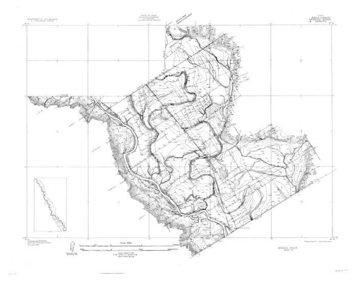
Brazos River, Brazos River Sheet 7
1926
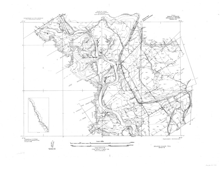
Brazos River, Brazos River Sheet 8
1926

Brazos River, Brazos River Sheet 6
1926

Brazos River, Brazos River Sheet 7
1926

Brazos River, Brazos River Sheet 8
1926

Falls County Working Sketch 3
1922

Working Sketch in Falls and Limestone Counties
1922

Falls County Working Sketch 2
1922

Falls County Working Sketch 1
1922
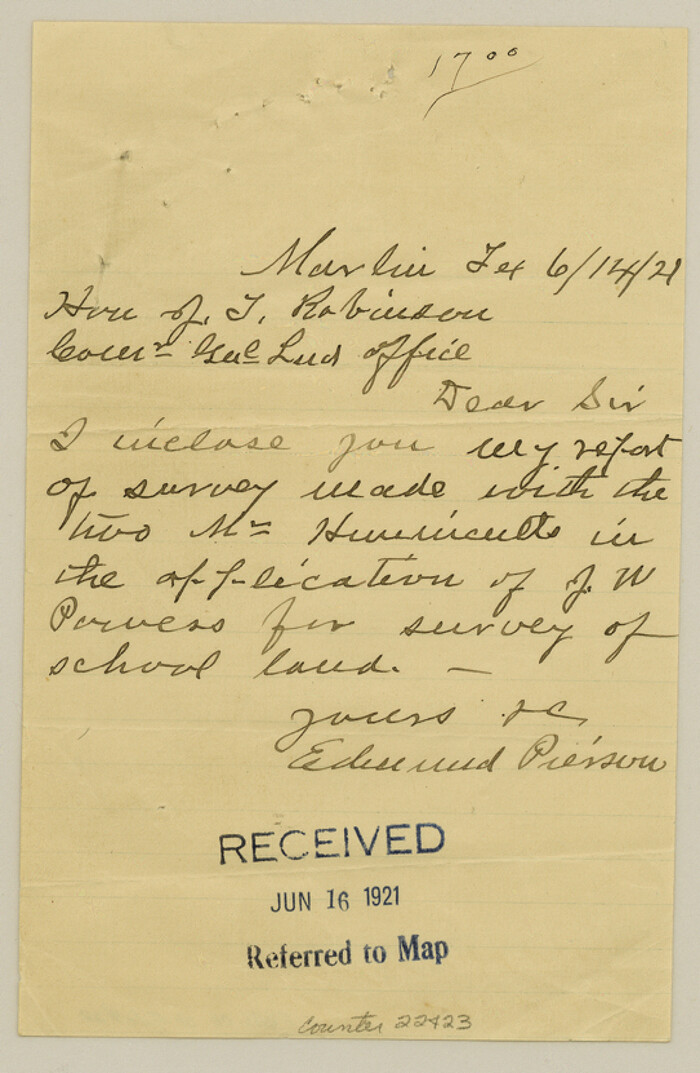
Falls County Sketch File 22
1921

Falls County Sketch File 23
1921
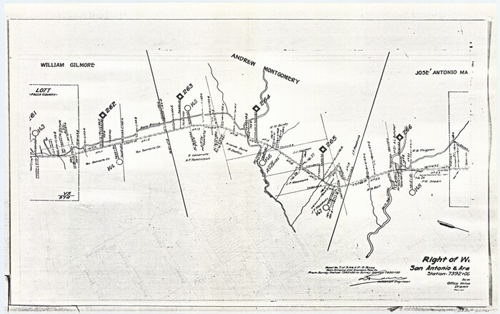
Right of Way San Antonio and Aransas Pass Railway
1919

Right of Way and Track Map San Antonio and Aransas Pass Railway Co.
1919

Falls County Working Sketch 5
2008
-
Size
34.3 x 56.6 inches
-
Map/Doc
88885
-
Creation Date
2008

Falls County State Real Property Sketch 1
1999
-
Size
23.6 x 23.5 inches
-
Map/Doc
61669
-
Creation Date
1999

Limestone County Working Sketch 25
1981
-
Size
26.1 x 21.1 inches
-
Map/Doc
70575
-
Creation Date
1981

Falls Co.
1976
-
Size
39.7 x 44.3 inches
-
Map/Doc
73144
-
Creation Date
1976

Falls County Working Sketch Graphic Index
1976
-
Size
39.7 x 44.2 inches
-
Map/Doc
76539
-
Creation Date
1976

Falls Co.
1976
-
Size
39.3 x 44.1 inches
-
Map/Doc
77276
-
Creation Date
1976

Falls Co.
1976
-
Size
40.8 x 45.0 inches
-
Map/Doc
95494
-
Creation Date
1976

Falls County Sketch File 25
1968
-
Size
10.4 x 8.2 inches
-
Map/Doc
22430
-
Creation Date
1968

General Highway Map, Falls County, Texas
1961
-
Size
18.2 x 24.5 inches
-
Map/Doc
79462
-
Creation Date
1961

General Highway Map. Detail of Cities and Towns in Falls County, Texas
1961
-
Size
18.1 x 24.4 inches
-
Map/Doc
79463
-
Creation Date
1961

Falls County Working Sketch 4
1943
-
Size
24.3 x 22.0 inches
-
Map/Doc
69179
-
Creation Date
1943

General Highway Map, Falls County, Texas
1940
-
Size
18.5 x 24.7 inches
-
Map/Doc
79088
-
Creation Date
1940

Falls County Rolled Sketch 1
1934
-
Size
10.6 x 15.1 inches
-
Map/Doc
44540
-
Creation Date
1934

Brazos River, Gurley Sheet
1929
-
Size
33.1 x 30.2 inches
-
Map/Doc
65282
-
Creation Date
1929

Brazos River, Ball Hill Sheet/Big Creek
1926
-
Size
34.3 x 30.0 inches
-
Map/Doc
65281
-
Creation Date
1926

Brazos River, Brazos River Sheet 6
1926
-
Size
29.0 x 24.3 inches
-
Map/Doc
65299
-
Creation Date
1926

Brazos River, Brazos River Sheet 7
1926
-
Size
24.1 x 30.6 inches
-
Map/Doc
65300
-
Creation Date
1926

Brazos River, Brazos River Sheet 8
1926
-
Size
22.6 x 29.2 inches
-
Map/Doc
65301
-
Creation Date
1926

Brazos River, Brazos River Sheet 6
1926
-
Size
27.9 x 23.0 inches
-
Map/Doc
69670
-
Creation Date
1926

Brazos River, Brazos River Sheet 7
1926
-
Size
22.8 x 27.8 inches
-
Map/Doc
69671
-
Creation Date
1926

Brazos River, Brazos River Sheet 8
1926
-
Size
22.2 x 27.7 inches
-
Map/Doc
69672
-
Creation Date
1926

Falls County Working Sketch 3
1922
-
Size
34.0 x 27.8 inches
-
Map/Doc
69178
-
Creation Date
1922

Working Sketch in Falls and Limestone Counties
1922
-
Size
15.9 x 34.8 inches
-
Map/Doc
91088
-
Creation Date
1922

Falls County Working Sketch 2
1922
-
Size
19.0 x 30.0 inches
-
Map/Doc
69177
-
Creation Date
1922

Falls County Working Sketch 1
1922
-
Size
23.0 x 33.1 inches
-
Map/Doc
69176
-
Creation Date
1922

Falls County Sketch File 22
1921
-
Size
8.3 x 5.4 inches
-
Map/Doc
22423
-
Creation Date
1921

Falls County Sketch File 23
1921
-
Size
24.8 x 36.3 inches
-
Map/Doc
11467
-
Creation Date
1921
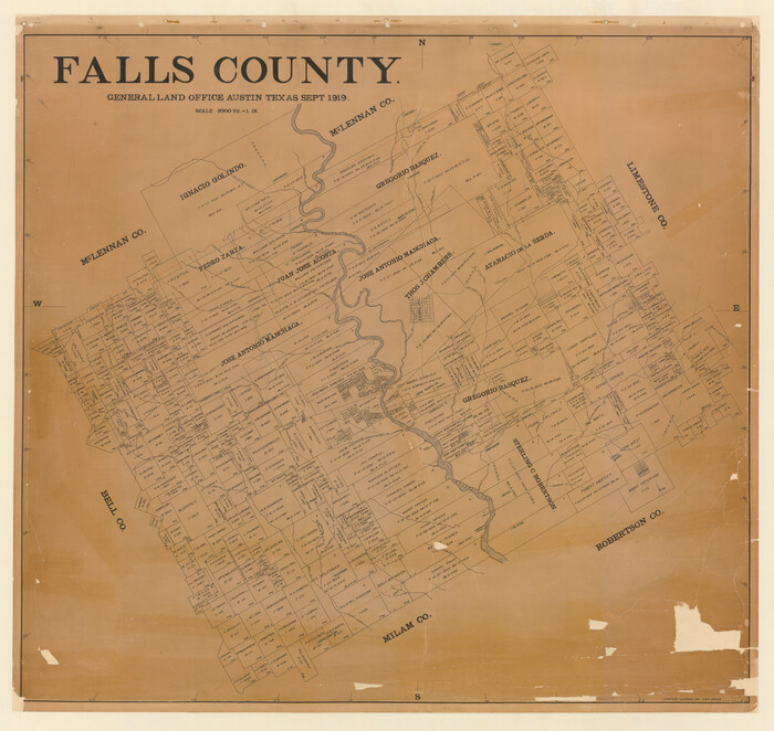
Falls County
1919
-
Size
42.2 x 44.7 inches
-
Map/Doc
4714
-
Creation Date
1919

Right of Way San Antonio and Aransas Pass Railway
1919
-
Size
11.6 x 18.5 inches
-
Map/Doc
62561
-
Creation Date
1919

Right of Way and Track Map San Antonio and Aransas Pass Railway Co.
1919
-
Size
11.9 x 18.5 inches
-
Map/Doc
62562
-
Creation Date
1919