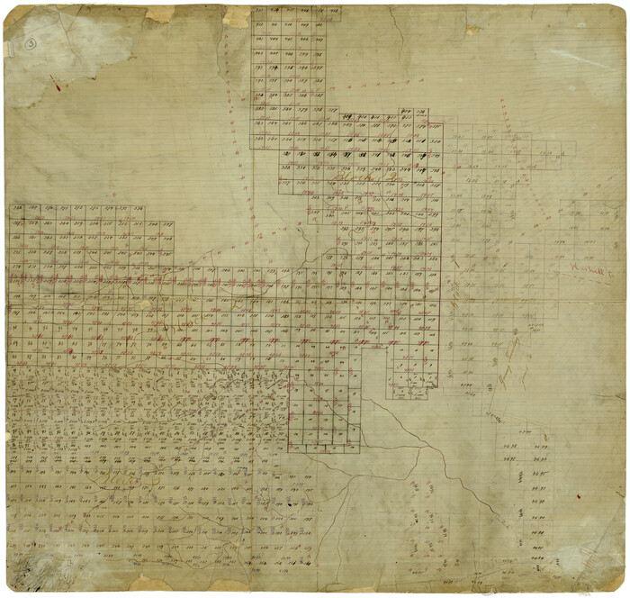
Fisher County Rolled Sketch 3
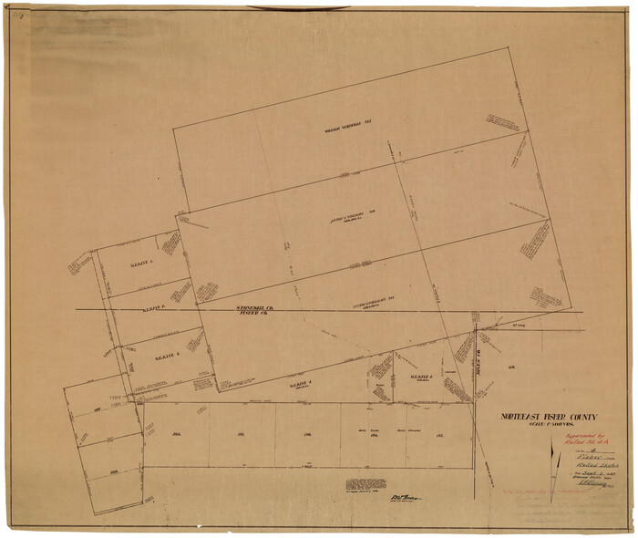
Fisher County Rolled Sketch 4
1950
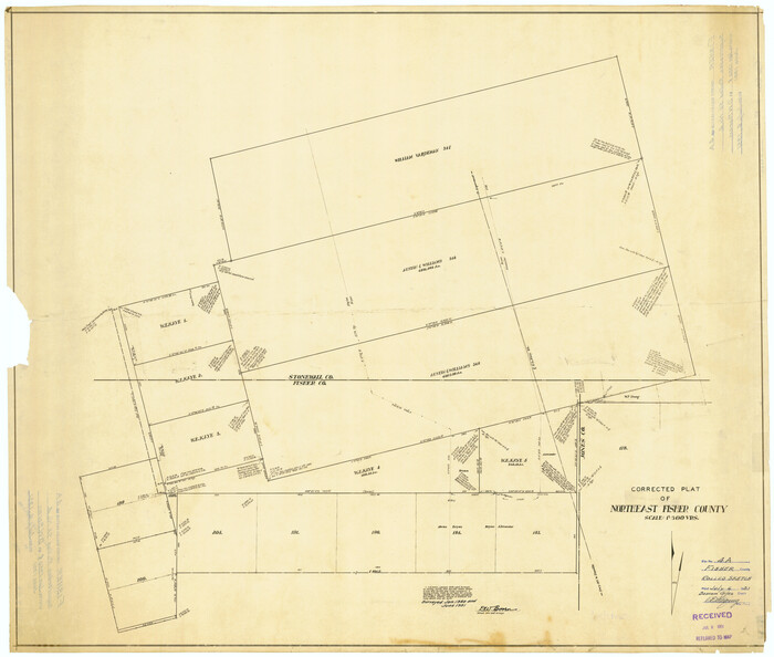
Fisher County Rolled Sketch 4A
1951
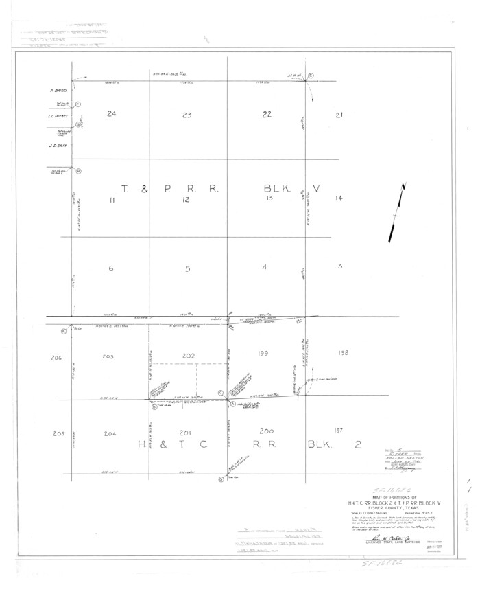
Fisher County Rolled Sketch 5
1961
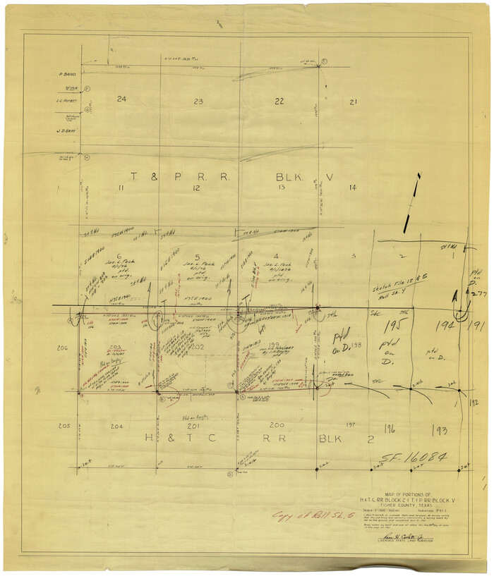
Fisher County Rolled Sketch 5
1961

Fisher County Rolled Sketch 6
1971

Fisher County Rolled Sketch 7
1873
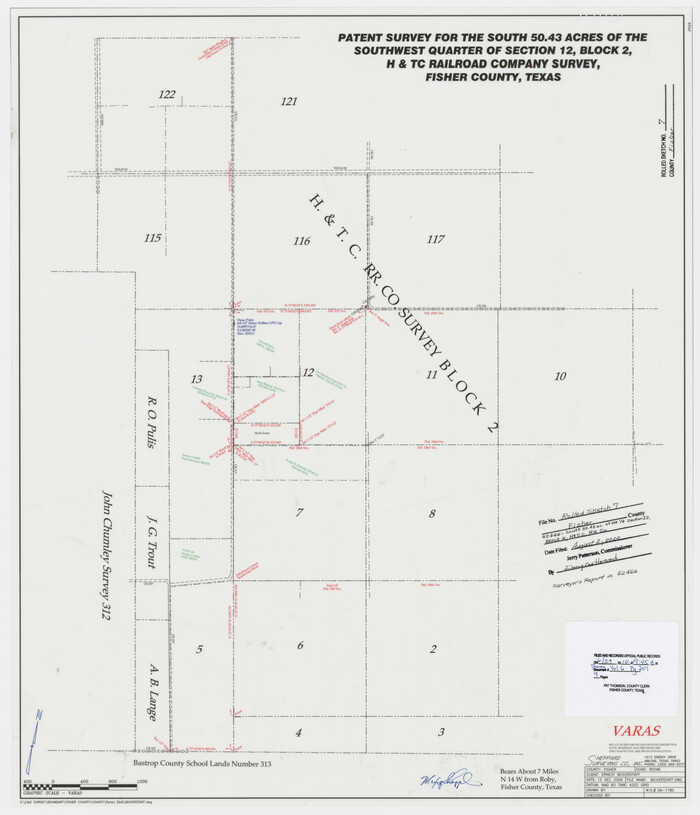
Fisher County Rolled Sketch 7
2009

Fisher County Rolled Sketch Y

Fisher County Sketch File 1

Fisher County Sketch File 10

Fisher County Sketch File 11
Fisher County Sketch File 12
1893
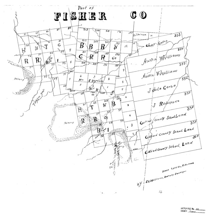
Fisher County Sketch File 13

Fisher County Sketch File 15a
1901
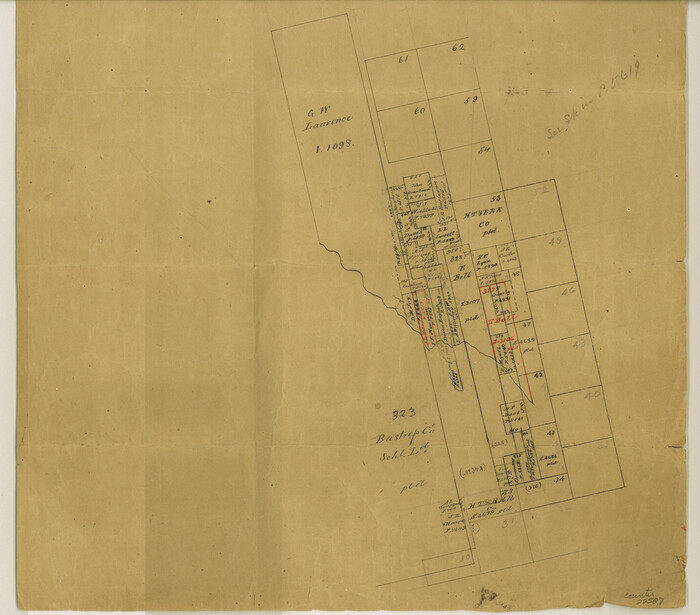
Fisher County Sketch File 17
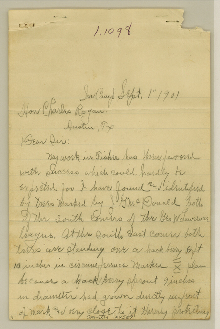
Fisher County Sketch File 18
1901
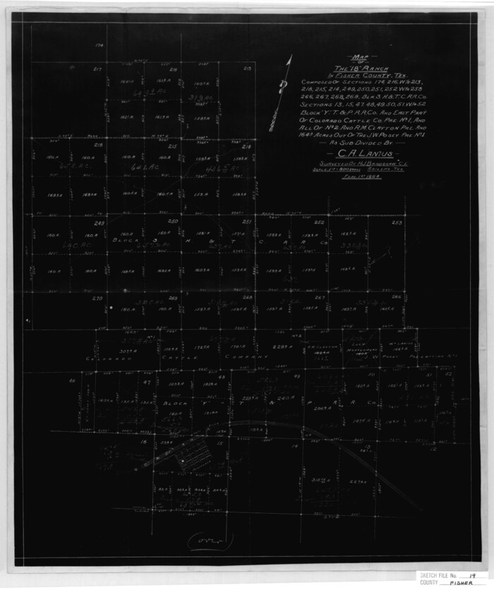
Fisher County Sketch File 19
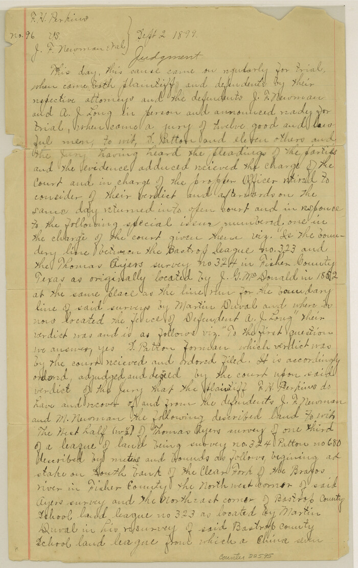
Fisher County Sketch File 19a
1898
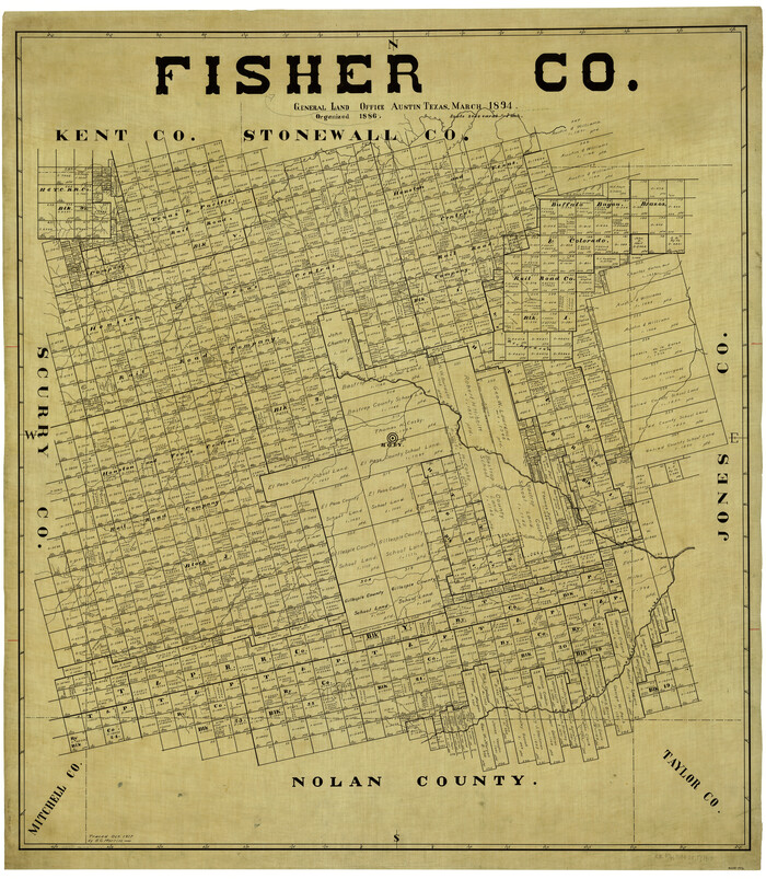
Fisher Co.
1894
-
Size
46.4 x 40.4 inches
-
Map/Doc
4946
-
Creation Date
1894
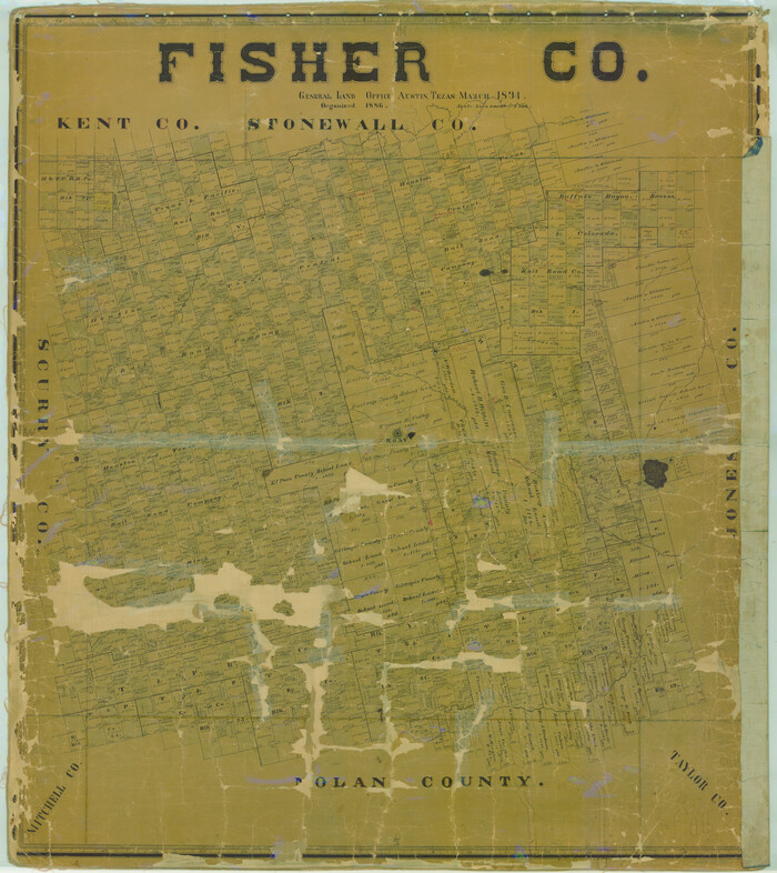
Fisher Co.
1894
-
Size
45.3 x 40.3 inches
-
Map/Doc
78412
-
Creation Date
1894
![88940, Fisher Co[unty], Library of Congress](https://historictexasmaps.com/wmedia_w700/maps/88940.tif.jpg)
Fisher Co[unty]
1880
-
Size
22.6 x 18.3 inches
-
Map/Doc
88940
-
Creation Date
1880
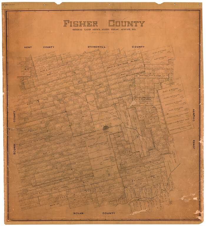
Fisher County
1921
-
Size
45.2 x 41.0 inches
-
Map/Doc
16829
-
Creation Date
1921
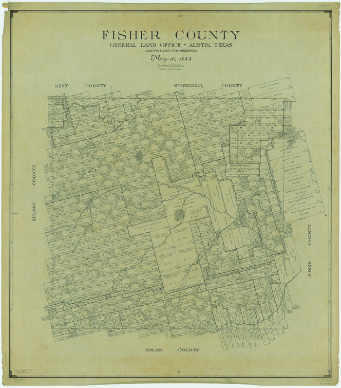
Fisher County
1944
-
Size
48.2 x 42.4 inches
-
Map/Doc
1826
-
Creation Date
1944
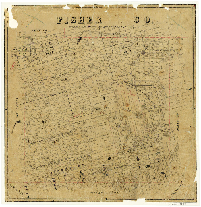
Fisher County
1879
-
Size
20.0 x 19.3 inches
-
Map/Doc
3541
-
Creation Date
1879
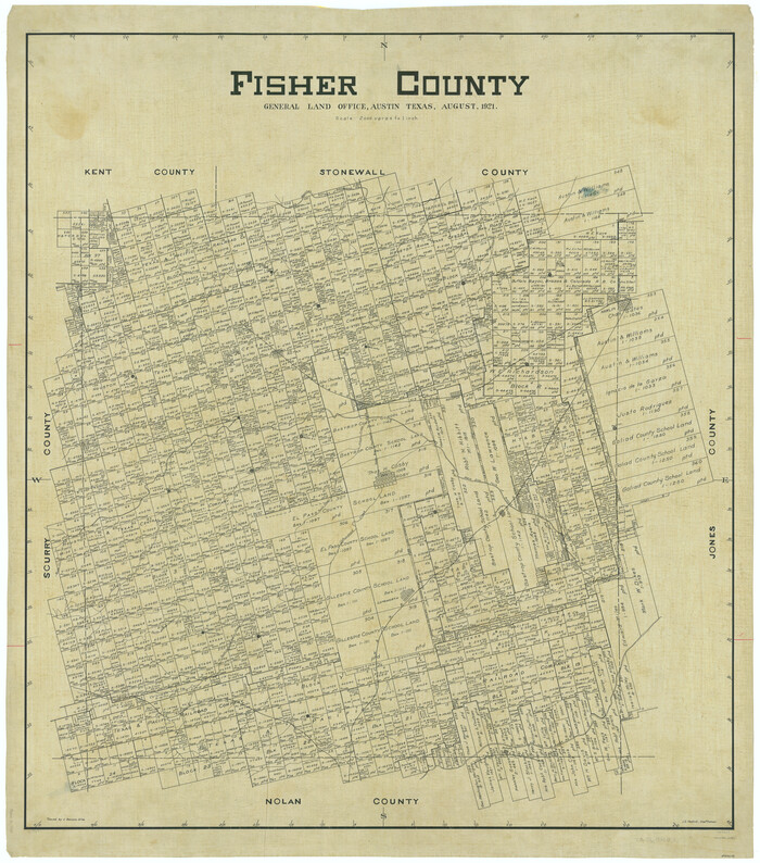
Fisher County
1921
-
Size
45.8 x 40.4 inches
-
Map/Doc
66822
-
Creation Date
1921

Fisher County
1944
-
Size
48.4 x 42.5 inches
-
Map/Doc
73147
-
Creation Date
1944
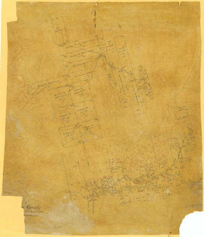
Fisher County
1880
-
Size
29.4 x 25.3 inches
-
Map/Doc
75772
-
Creation Date
1880

Fisher County
1944
-
Size
41.4 x 36.1 inches
-
Map/Doc
77279
-
Creation Date
1944
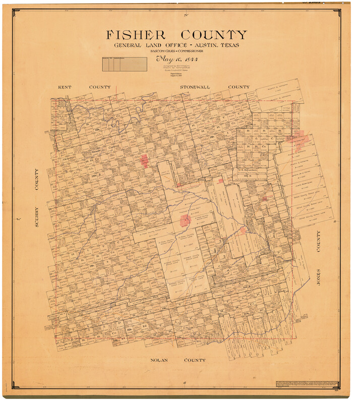
Fisher County
1944
-
Size
50.2 x 44.2 inches
-
Map/Doc
95497
-
Creation Date
1944

Fisher County Rolled Sketch 3
-
Size
40.5 x 38.6 inches
-
Map/Doc
8887

Fisher County Rolled Sketch 4
1950
-
Size
32.4 x 37.5 inches
-
Map/Doc
8888
-
Creation Date
1950

Fisher County Rolled Sketch 4A
1951
-
Size
31.0 x 36.6 inches
-
Map/Doc
8889
-
Creation Date
1951

Fisher County Rolled Sketch 5
1961
-
Size
40.3 x 32.5 inches
-
Map/Doc
10659
-
Creation Date
1961

Fisher County Rolled Sketch 5
1961
-
Size
39.1 x 33.7 inches
-
Map/Doc
8890
-
Creation Date
1961

Fisher County Rolled Sketch 6
1971
-
Size
26.9 x 26.7 inches
-
Map/Doc
5877
-
Creation Date
1971

Fisher County Rolled Sketch 7
1873
-
Size
47.1 x 43.5 inches
-
Map/Doc
8891
-
Creation Date
1873

Fisher County Rolled Sketch 7
2009
-
Size
28.6 x 24.6 inches
-
Map/Doc
89988
-
Creation Date
2009

Fisher County Rolled Sketch Y
-
Size
42.1 x 25.4 inches
-
Map/Doc
5878

Fisher County Sketch File 1
-
Size
43.5 x 18.3 inches
-
Map/Doc
10448

Fisher County Sketch File 10
-
Size
9.7 x 37.0 inches
-
Map/Doc
11477

Fisher County Sketch File 11
-
Size
22.8 x 20.4 inches
-
Map/Doc
11478

Fisher County Sketch File 12
1893
-
Size
9.0 x 7.0 inches
-
Map/Doc
22577
-
Creation Date
1893

Fisher County Sketch File 13
-
Size
18.3 x 17.7 inches
-
Map/Doc
11480

Fisher County Sketch File 15a
1901
-
Size
7.6 x 9.0 inches
-
Map/Doc
22578
-
Creation Date
1901

Fisher County Sketch File 17
-
Size
11.0 x 12.5 inches
-
Map/Doc
22587

Fisher County Sketch File 18
1901
-
Size
8.2 x 5.5 inches
-
Map/Doc
22589
-
Creation Date
1901

Fisher County Sketch File 19
-
Size
18.8 x 15.7 inches
-
Map/Doc
11481

Fisher County Sketch File 19a
1898
-
Size
14.1 x 8.9 inches
-
Map/Doc
22595
-
Creation Date
1898