
Jones County Rolled Sketch 4
2022
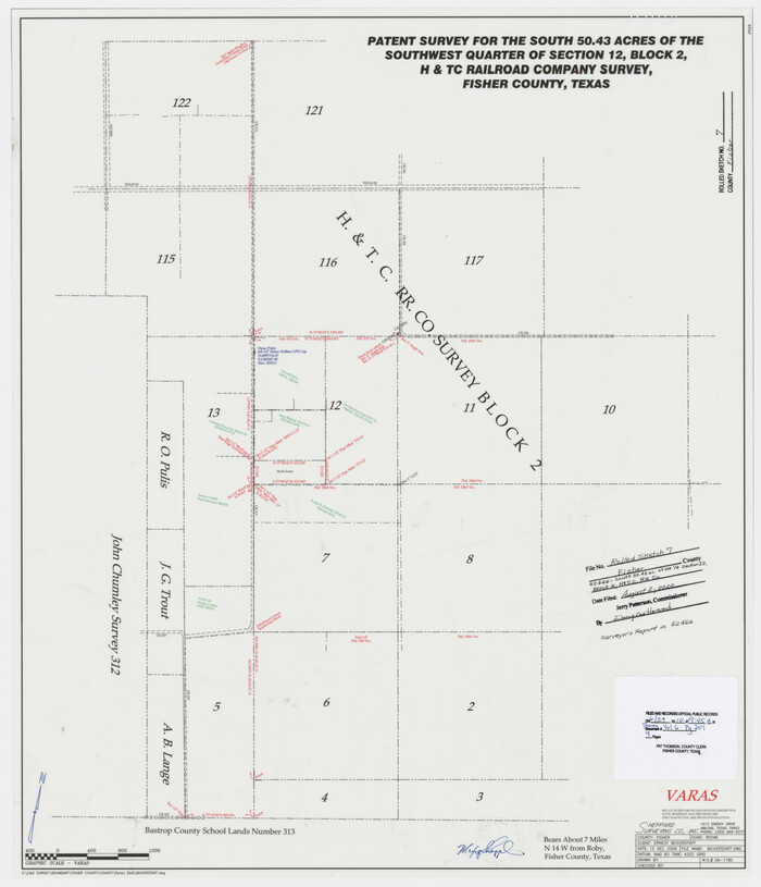
Fisher County Rolled Sketch 7
2009

Jones County Rolled Sketch 2
2009
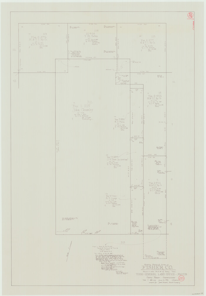
Fisher County Working Sketch 20
1993

Kent County Working Sketch 18
1974
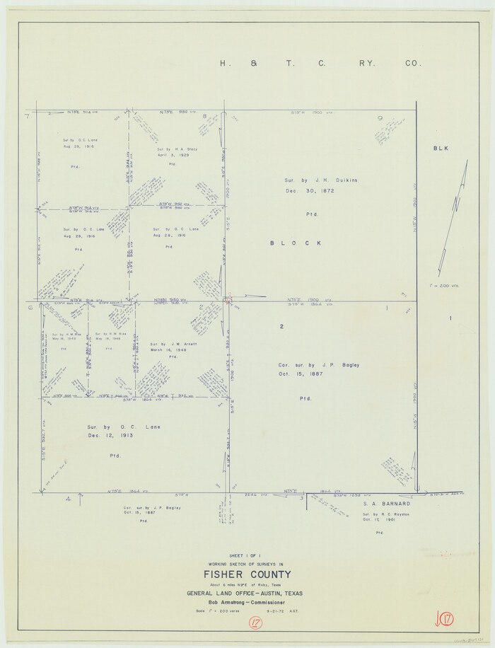
Fisher County Working Sketch 17
1972

Fisher County Rolled Sketch 6
1971
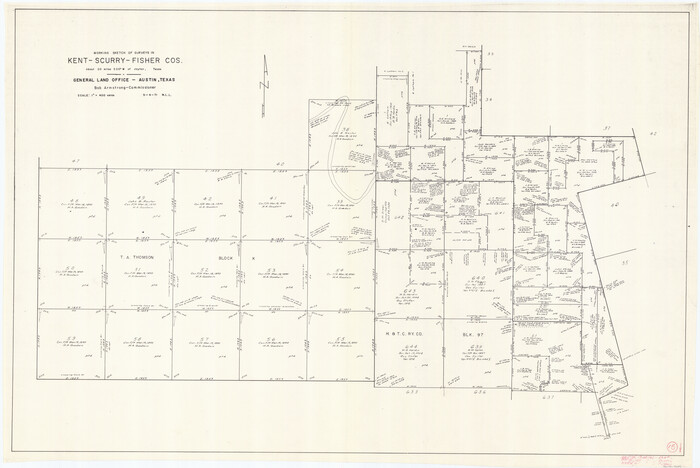
Kent County Working Sketch 15
1971

Fisher County Working Sketch 19
1962
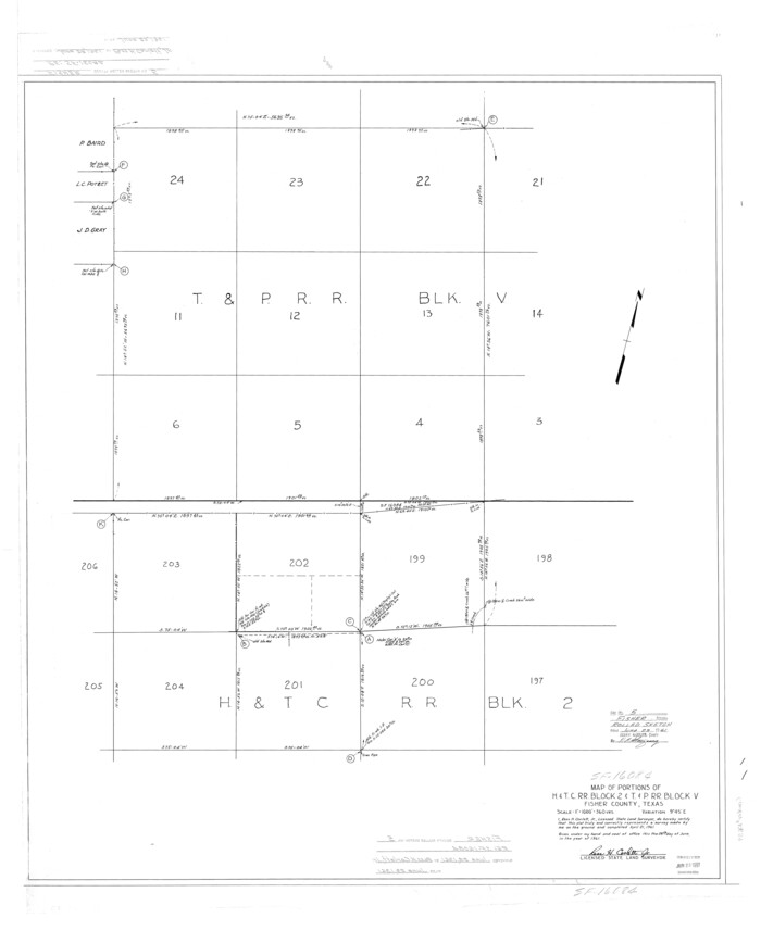
Fisher County Rolled Sketch 5
1961
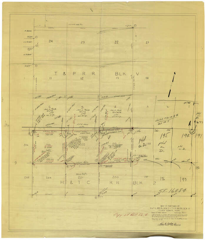
Fisher County Rolled Sketch 5
1961

General Highway Map, Fisher County, Texas
1961
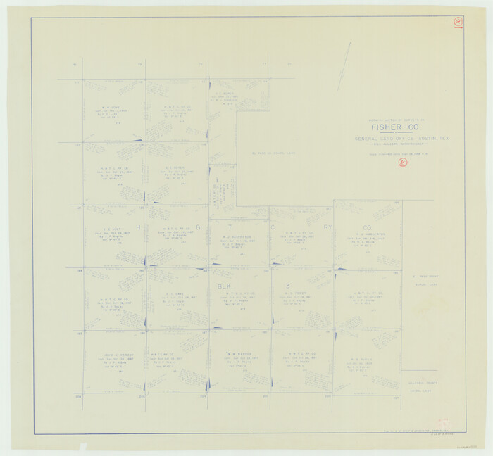
Fisher County Working Sketch 16
1958
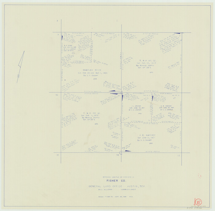
Fisher County Working Sketch 15
1958

Fisher County Working Sketch 14
1957

Fisher County Working Sketch 13
1956
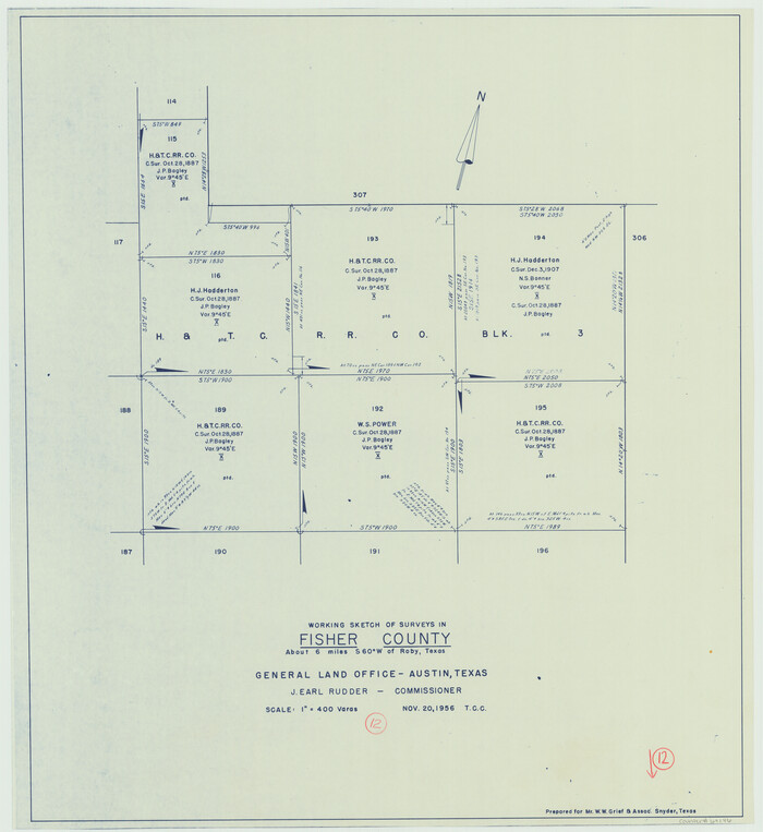
Fisher County Working Sketch 12
1956
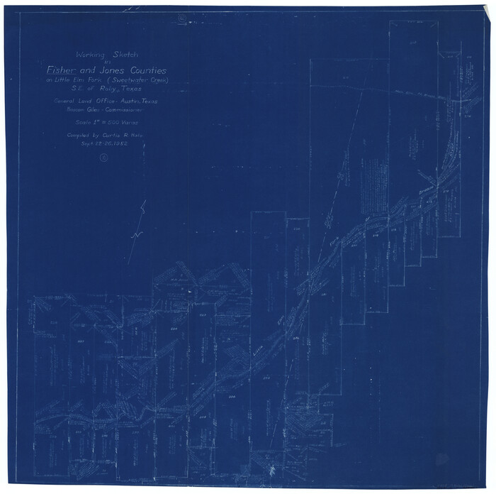
Fisher County Working Sketch 10
1952
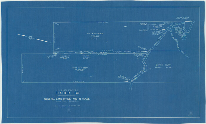
Fisher County Working Sketch 11
1952
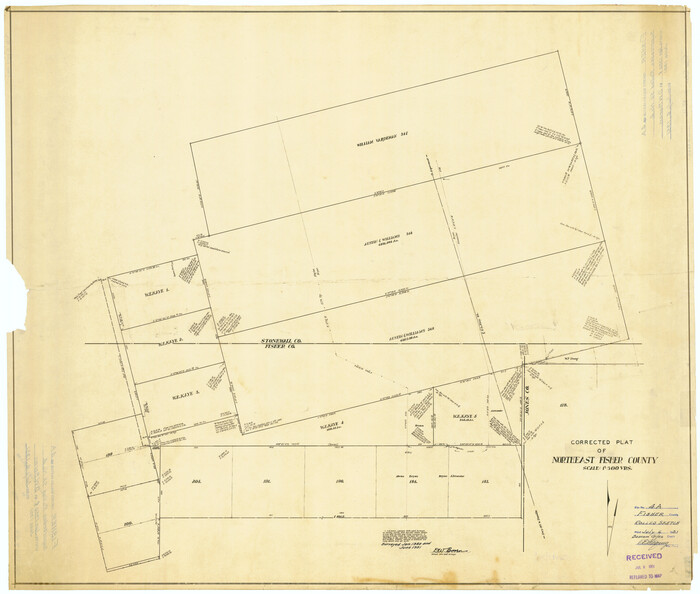
Fisher County Rolled Sketch 4A
1951
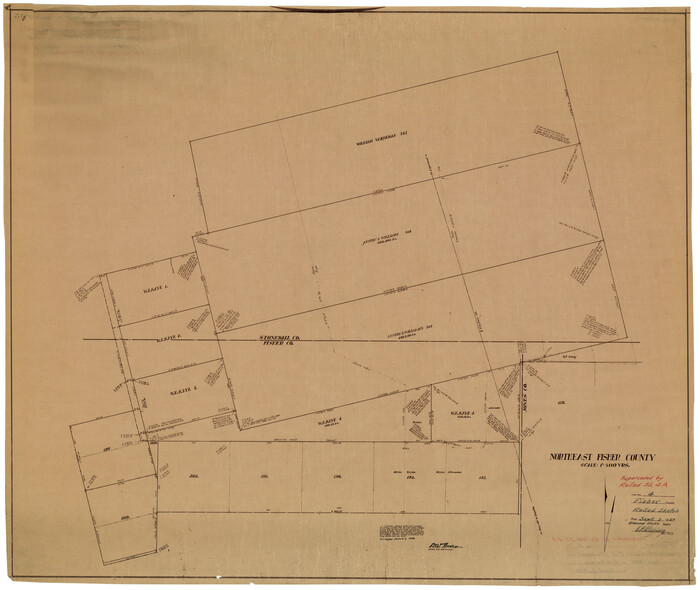
Fisher County Rolled Sketch 4
1950
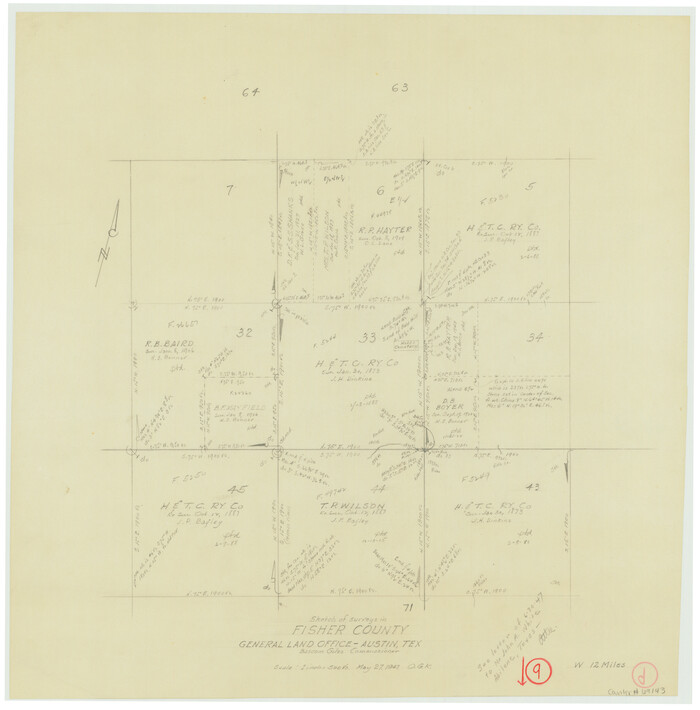
Fisher County Working Sketch 9
1947
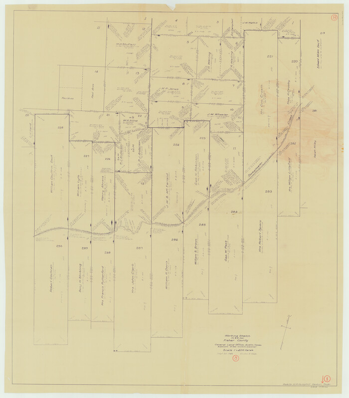
Fisher County Working Sketch 8
1946
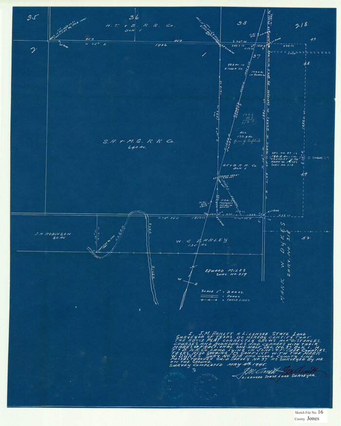
Jones County Sketch File 16
1945
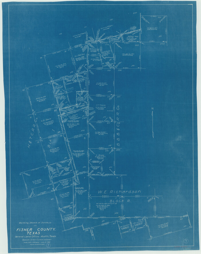
Fisher County Working Sketch 7
1944

Fisher County Working Sketch Graphic Index
1944

Jones County Rolled Sketch 4
2022
-
Size
31.9 x 24.0 inches
-
Map/Doc
97150
-
Creation Date
2022

Fisher County Rolled Sketch 7
2009
-
Size
28.6 x 24.6 inches
-
Map/Doc
89988
-
Creation Date
2009

Jones County Rolled Sketch 2
2009
-
Size
48.0 x 34.0 inches
-
Map/Doc
93320
-
Creation Date
2009

Fisher County Working Sketch 20
1993
-
Size
38.1 x 26.6 inches
-
Map/Doc
69154
-
Creation Date
1993

Kent County Working Sketch 18
1974
-
Size
33.5 x 31.5 inches
-
Map/Doc
70025
-
Creation Date
1974

Fisher County Working Sketch 17
1972
-
Size
32.2 x 24.6 inches
-
Map/Doc
69151
-
Creation Date
1972

Fisher County Rolled Sketch 6
1971
-
Size
26.9 x 26.7 inches
-
Map/Doc
5877
-
Creation Date
1971

Kent County Working Sketch 15
1971
-
Size
32.3 x 48.3 inches
-
Map/Doc
70022
-
Creation Date
1971

Fisher County Working Sketch 19
1962
-
Size
26.2 x 25.5 inches
-
Map/Doc
69153
-
Creation Date
1962

Fisher County Rolled Sketch 5
1961
-
Size
40.3 x 32.5 inches
-
Map/Doc
10659
-
Creation Date
1961

Fisher County Rolled Sketch 5
1961
-
Size
39.1 x 33.7 inches
-
Map/Doc
8890
-
Creation Date
1961

General Highway Map, Fisher County, Texas
1961
-
Size
18.1 x 24.7 inches
-
Map/Doc
79466
-
Creation Date
1961

Fisher County Working Sketch 16
1958
-
Size
34.6 x 37.4 inches
-
Map/Doc
69150
-
Creation Date
1958

Fisher County Working Sketch 15
1958
-
Size
22.2 x 22.6 inches
-
Map/Doc
69149
-
Creation Date
1958

Fisher County Working Sketch 14
1957
-
Size
24.9 x 33.1 inches
-
Map/Doc
69148
-
Creation Date
1957

Fisher County Working Sketch 13
1956
-
Size
29.8 x 32.7 inches
-
Map/Doc
69147
-
Creation Date
1956

Fisher County Working Sketch 12
1956
-
Size
25.2 x 23.2 inches
-
Map/Doc
69146
-
Creation Date
1956

Fisher County Working Sketch 10
1952
-
Size
40.5 x 40.7 inches
-
Map/Doc
69144
-
Creation Date
1952

Fisher County Working Sketch 11
1952
-
Size
21.2 x 35.1 inches
-
Map/Doc
69145
-
Creation Date
1952

Fisher County Rolled Sketch 4A
1951
-
Size
31.0 x 36.6 inches
-
Map/Doc
8889
-
Creation Date
1951

Fisher County Rolled Sketch 4
1950
-
Size
32.4 x 37.5 inches
-
Map/Doc
8888
-
Creation Date
1950

Fisher County Working Sketch 9
1947
-
Size
18.1 x 17.9 inches
-
Map/Doc
69143
-
Creation Date
1947

Fisher County Working Sketch 8
1946
-
Size
42.5 x 37.3 inches
-
Map/Doc
69142
-
Creation Date
1946

Jones County Sketch File 16
1945
-
Size
23.7 x 19.0 inches
-
Map/Doc
11901
-
Creation Date
1945
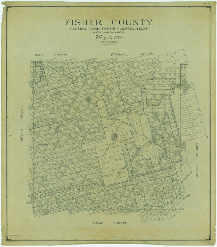
Fisher County
1944
-
Size
48.2 x 42.4 inches
-
Map/Doc
1826
-
Creation Date
1944

Fisher County
1944
-
Size
48.4 x 42.5 inches
-
Map/Doc
73147
-
Creation Date
1944

Fisher County
1944
-
Size
41.4 x 36.1 inches
-
Map/Doc
77279
-
Creation Date
1944
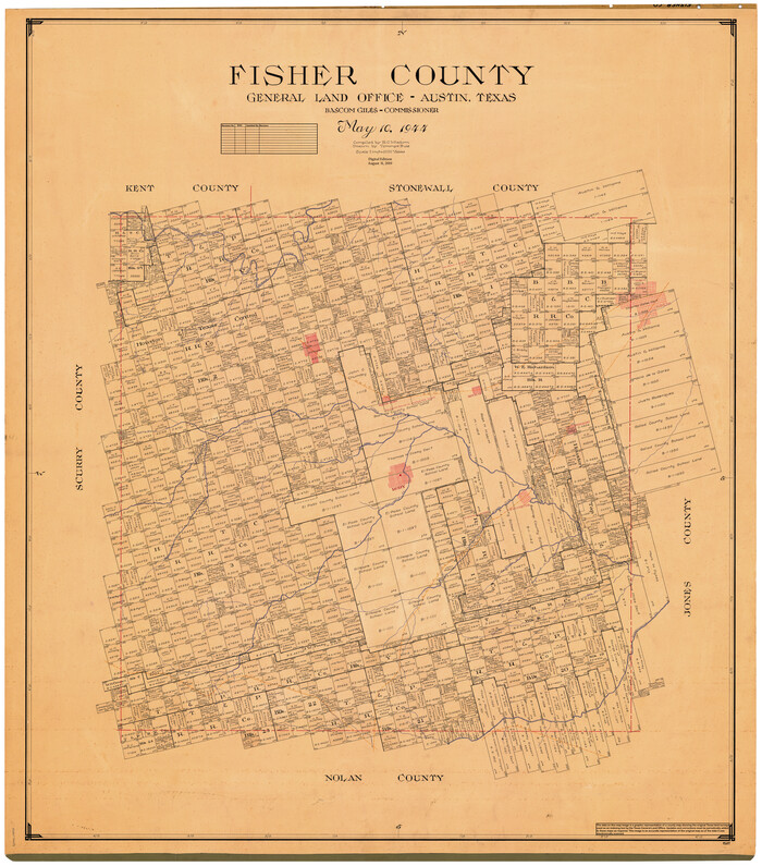
Fisher County
1944
-
Size
50.2 x 44.2 inches
-
Map/Doc
95497
-
Creation Date
1944

Fisher County Working Sketch 7
1944
-
Size
36.7 x 28.9 inches
-
Map/Doc
69141
-
Creation Date
1944

Fisher County Working Sketch Graphic Index
1944
-
Size
46.9 x 41.4 inches
-
Map/Doc
76542
-
Creation Date
1944